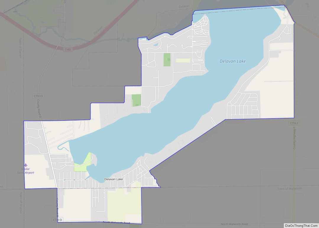
Walworth is a town in Walworth County, Wisconsin, United States. The population was 1,565 at the 2020 census. The Village of Walworth is located within the town. The unincorporated communities of Big Foot Prairie and Delavan Lake are also located partially in the town.
| Name: | Walworth village |
|---|---|
| LSAD Code: | 47 |
| LSAD Description: | village (suffix) |
| State: | Wisconsin |
| County: | Walworth County |
| FIPS code: | 5583250 |
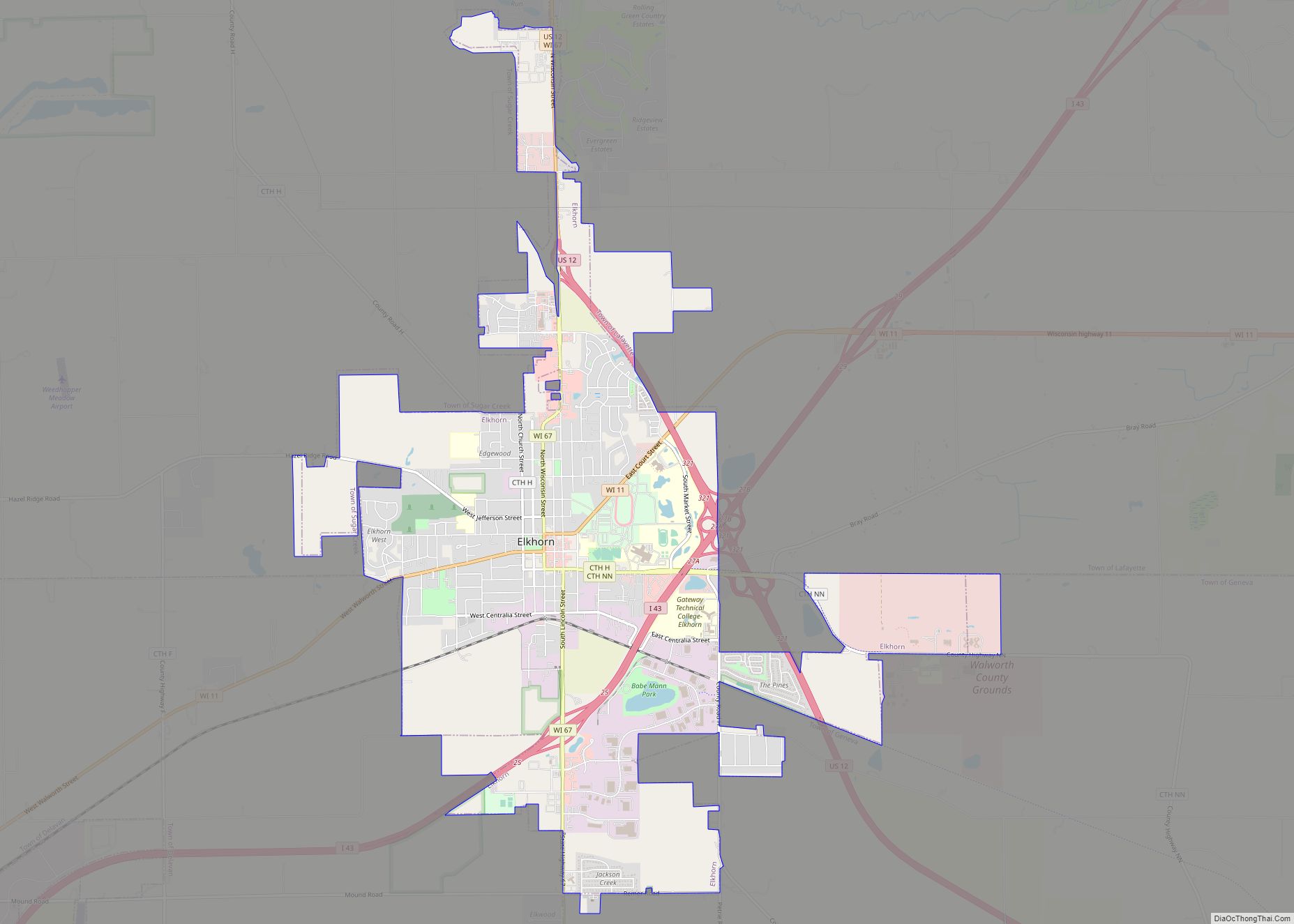
Online Interactive Map
Click on ![]() to view map in "full screen" mode.
to view map in "full screen" mode.
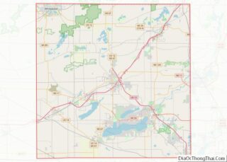
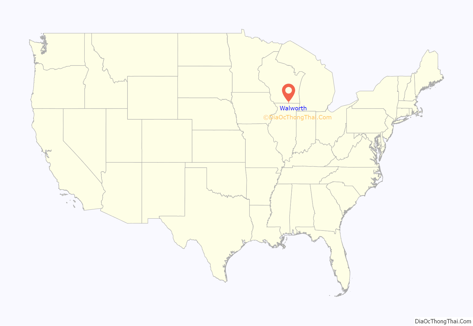
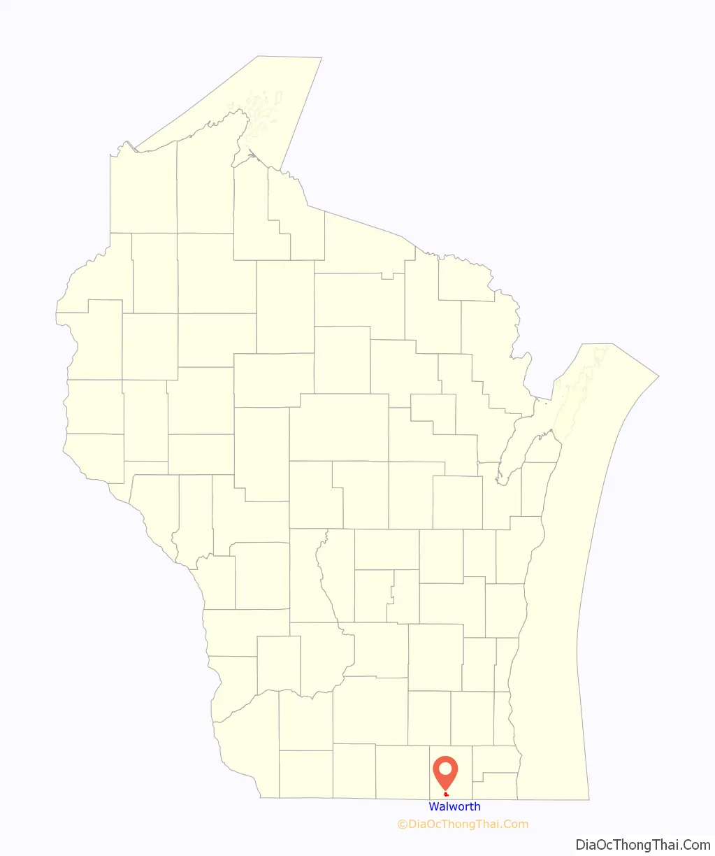
Walworth location map. Where is Walworth village?
History
The first town meeting was held for what was originally called “Fontana” (later renamed “Walworth”), in a schoolhouse on Big Foot Prairie on April 4, 1843. George H. Lown was elected as Chairman of the “Supervisors”. Also elected were two assistants to Lown (listed as Supervisors, but also as “assistants”); a Clerk; a Treasurer; three School Commissioners; three Highway Commissioners; an Assessor; a Collector; three Constables; and a Moderator. The meeting voted to raise for incidental expenses, $60; for relief of the poor, $20; for the support of schools, $100; and for the relief of poor citizens named in the records, a special tax of $30.75.
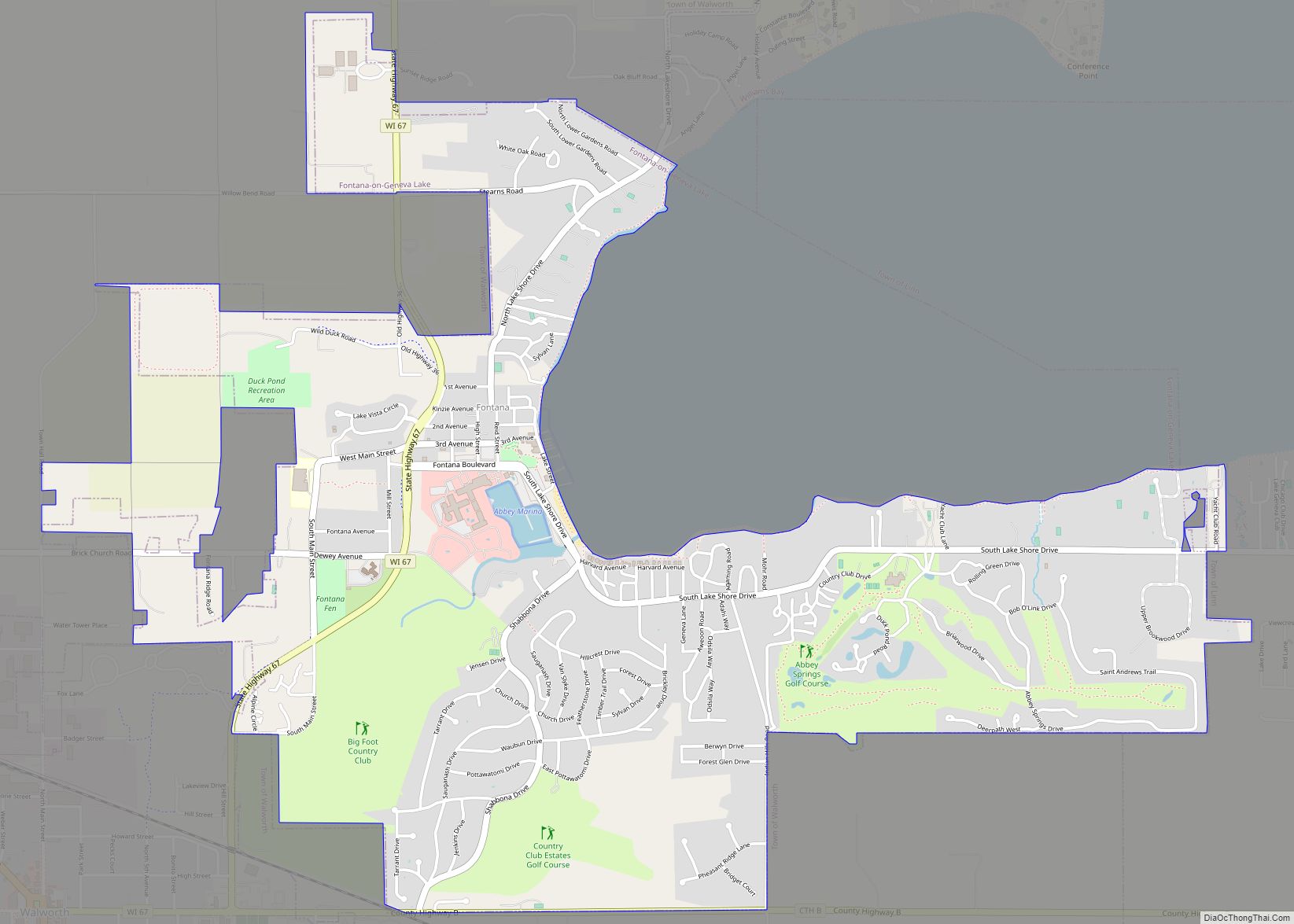
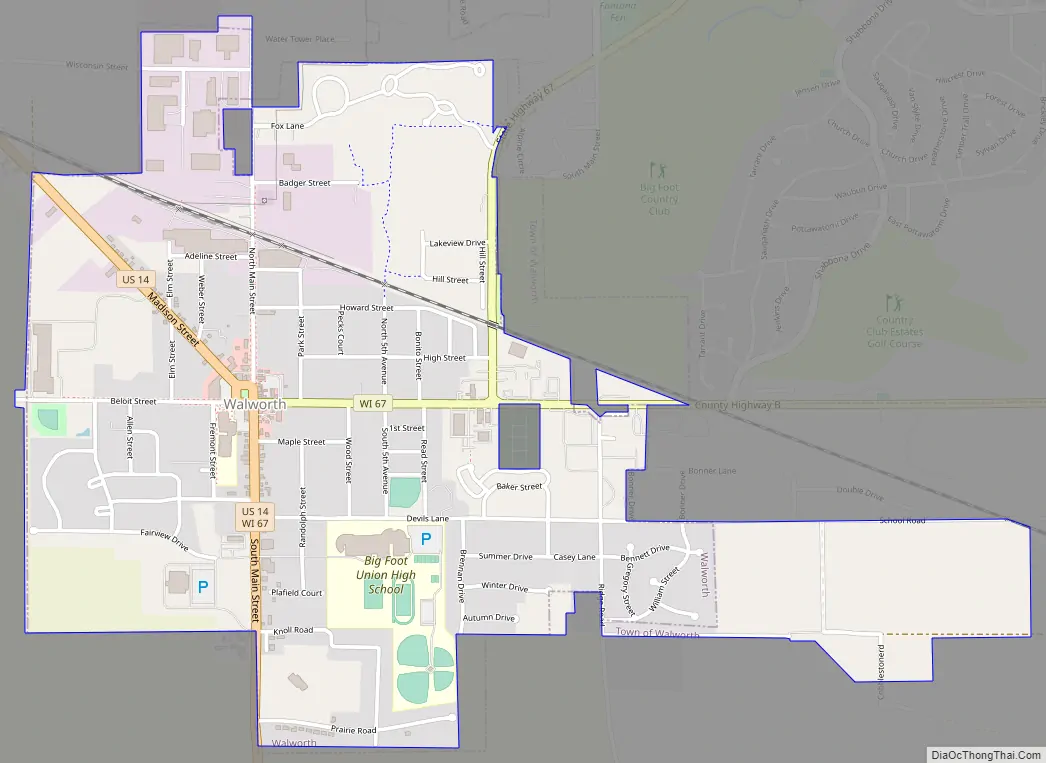
Walworth Road Map
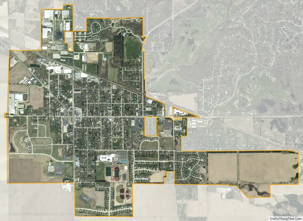
Walworth city Satellite Map
Geography
According to the United States Census Bureau, the town has a total area of 29.5 square miles (76.4 km), of which, 28.9 square miles (74.9 km) of it is land and 0.6 square miles (1.6 km) of it (2.07%) is water.
See also
Map of Wisconsin State and its subdivision:- Adams
- Ashland
- Barron
- Bayfield
- Brown
- Buffalo
- Burnett
- Calumet
- Chippewa
- Clark
- Columbia
- Crawford
- Dane
- Dodge
- Door
- Douglas
- Dunn
- Eau Claire
- Florence
- Fond du Lac
- Forest
- Grant
- Green
- Green Lake
- Iowa
- Iron
- Jackson
- Jefferson
- Juneau
- Kenosha
- Kewaunee
- La Crosse
- Lafayette
- Lake Michigan
- Lake Superior
- Langlade
- Lincoln
- Manitowoc
- Marathon
- Marinette
- Marquette
- Menominee
- Milwaukee
- Monroe
- Oconto
- Oneida
- Outagamie
- Ozaukee
- Pepin
- Pierce
- Polk
- Portage
- Price
- Racine
- Richland
- Rock
- Rusk
- Saint Croix
- Sauk
- Sawyer
- Shawano
- Sheboygan
- Taylor
- Trempealeau
- Vernon
- Vilas
- Walworth
- Washburn
- Washington
- Waukesha
- Waupaca
- Waushara
- Winnebago
- Wood
- Alabama
- Alaska
- Arizona
- Arkansas
- California
- Colorado
- Connecticut
- Delaware
- District of Columbia
- Florida
- Georgia
- Hawaii
- Idaho
- Illinois
- Indiana
- Iowa
- Kansas
- Kentucky
- Louisiana
- Maine
- Maryland
- Massachusetts
- Michigan
- Minnesota
- Mississippi
- Missouri
- Montana
- Nebraska
- Nevada
- New Hampshire
- New Jersey
- New Mexico
- New York
- North Carolina
- North Dakota
- Ohio
- Oklahoma
- Oregon
- Pennsylvania
- Rhode Island
- South Carolina
- South Dakota
- Tennessee
- Texas
- Utah
- Vermont
- Virginia
- Washington
- West Virginia
- Wisconsin
- Wyoming