West Salem is a village in La Crosse County, Wisconsin, United States, along the La Crosse River. It is part of the La Crosse-Onalaska, WI-MN Metropolitan Statistical Area. The population was 4,799 as of the 2010 Census.
| Name: | West Salem village |
|---|---|
| LSAD Code: | 47 |
| LSAD Description: | village (suffix) |
| State: | Wisconsin |
| County: | La Crosse County |
| Elevation: | 741 ft (226 m) |
| Total Area: | 3.40 sq mi (8.82 km²) |
| Land Area: | 3.35 sq mi (8.67 km²) |
| Water Area: | 0.06 sq mi (0.15 km²) |
| Total Population: | 5,277 |
| Population Density: | 1,498.80/sq mi (578.68/km²) |
| Area code: | 608 |
| FIPS code: | 5586275 |
| GNISfeature ID: | 1576552 |
| Website: | www.westsalemwi.com |
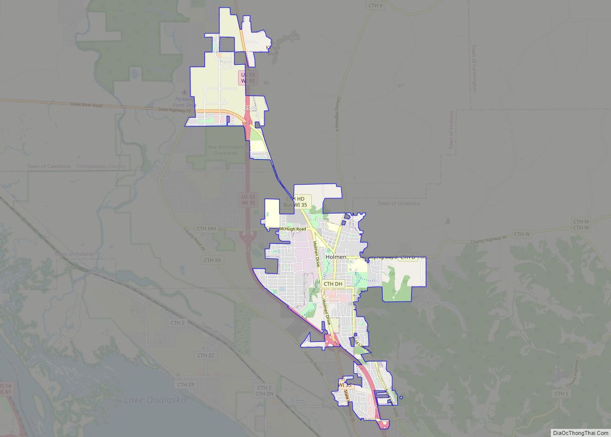
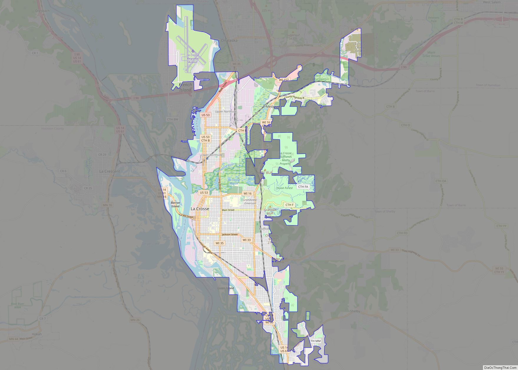
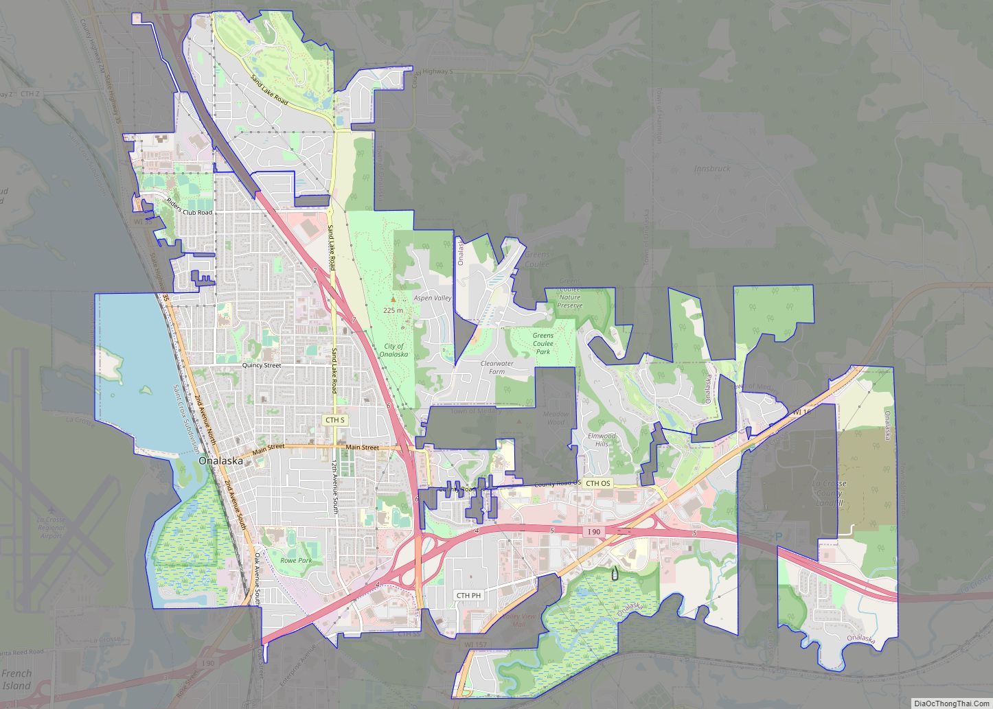
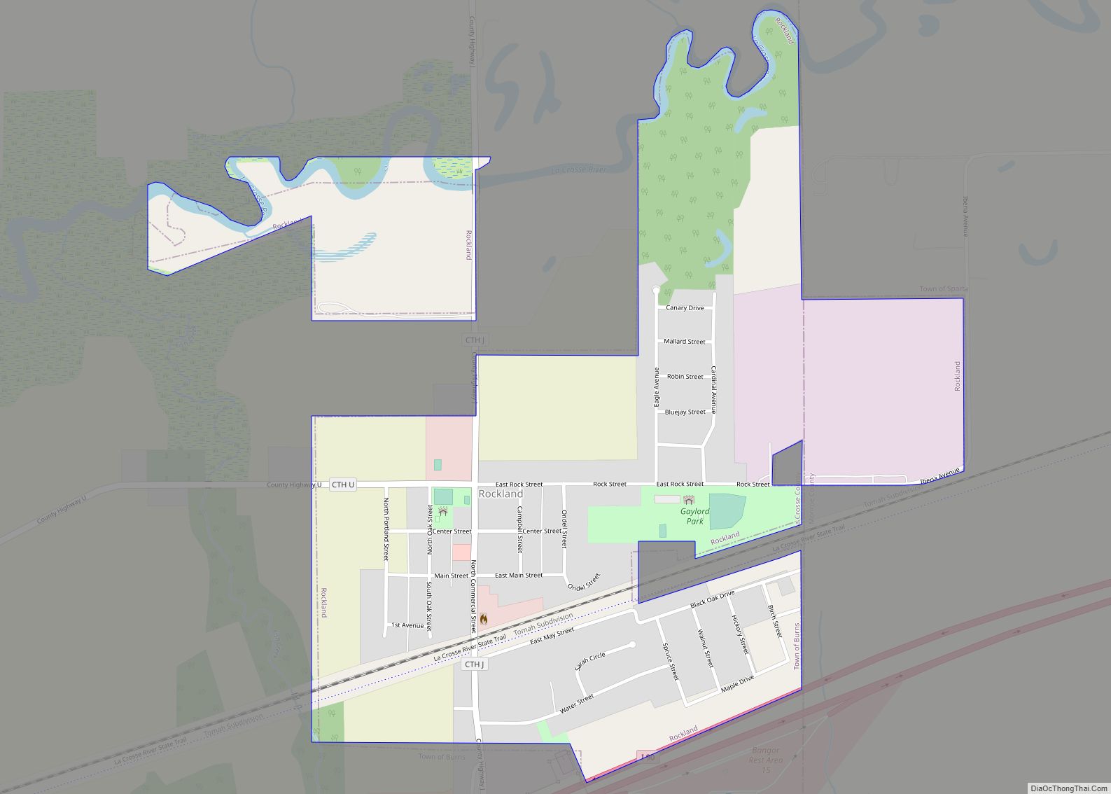
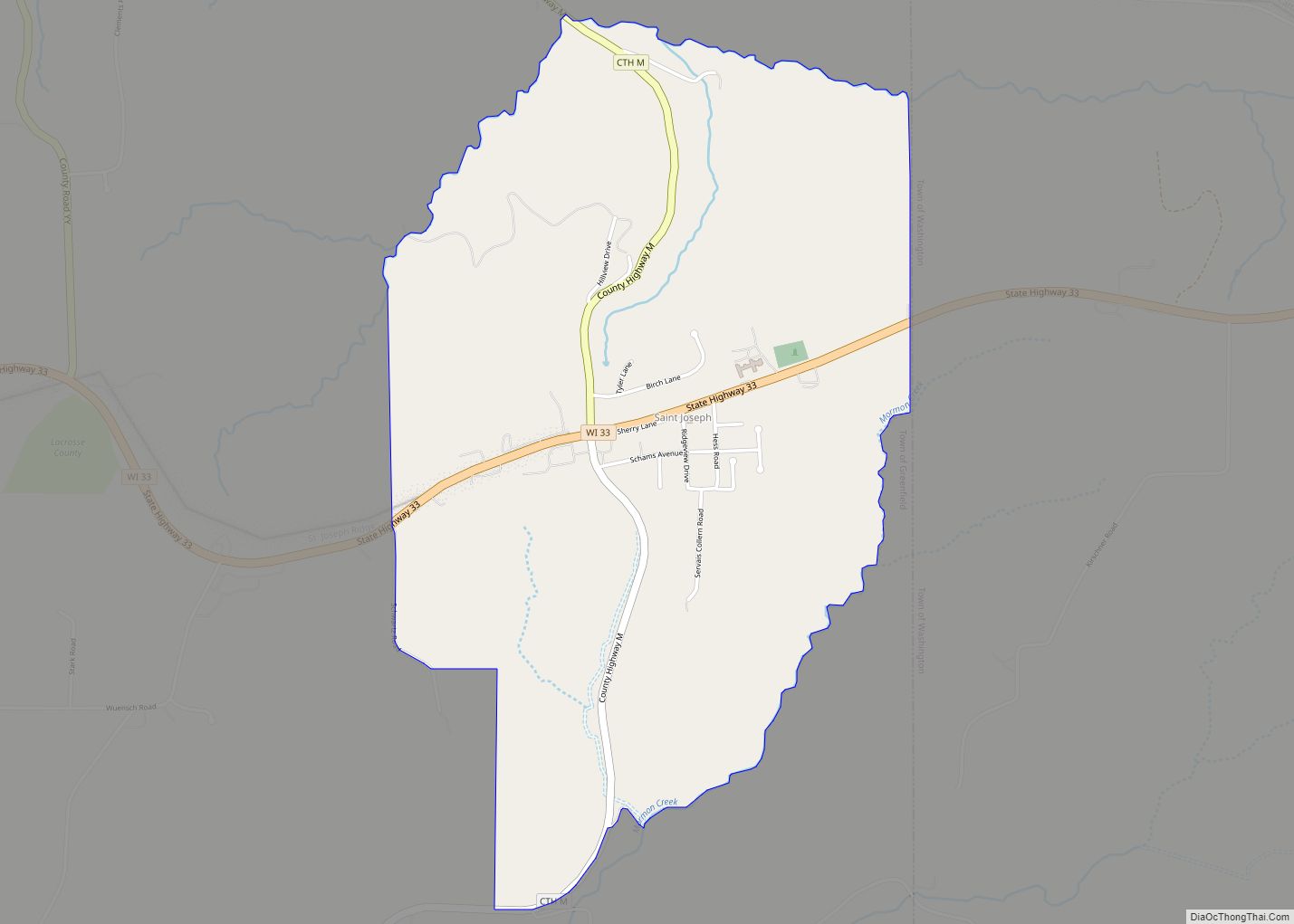
Online Interactive Map
Click on ![]() to view map in "full screen" mode.
to view map in "full screen" mode.
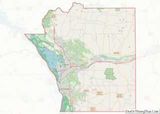
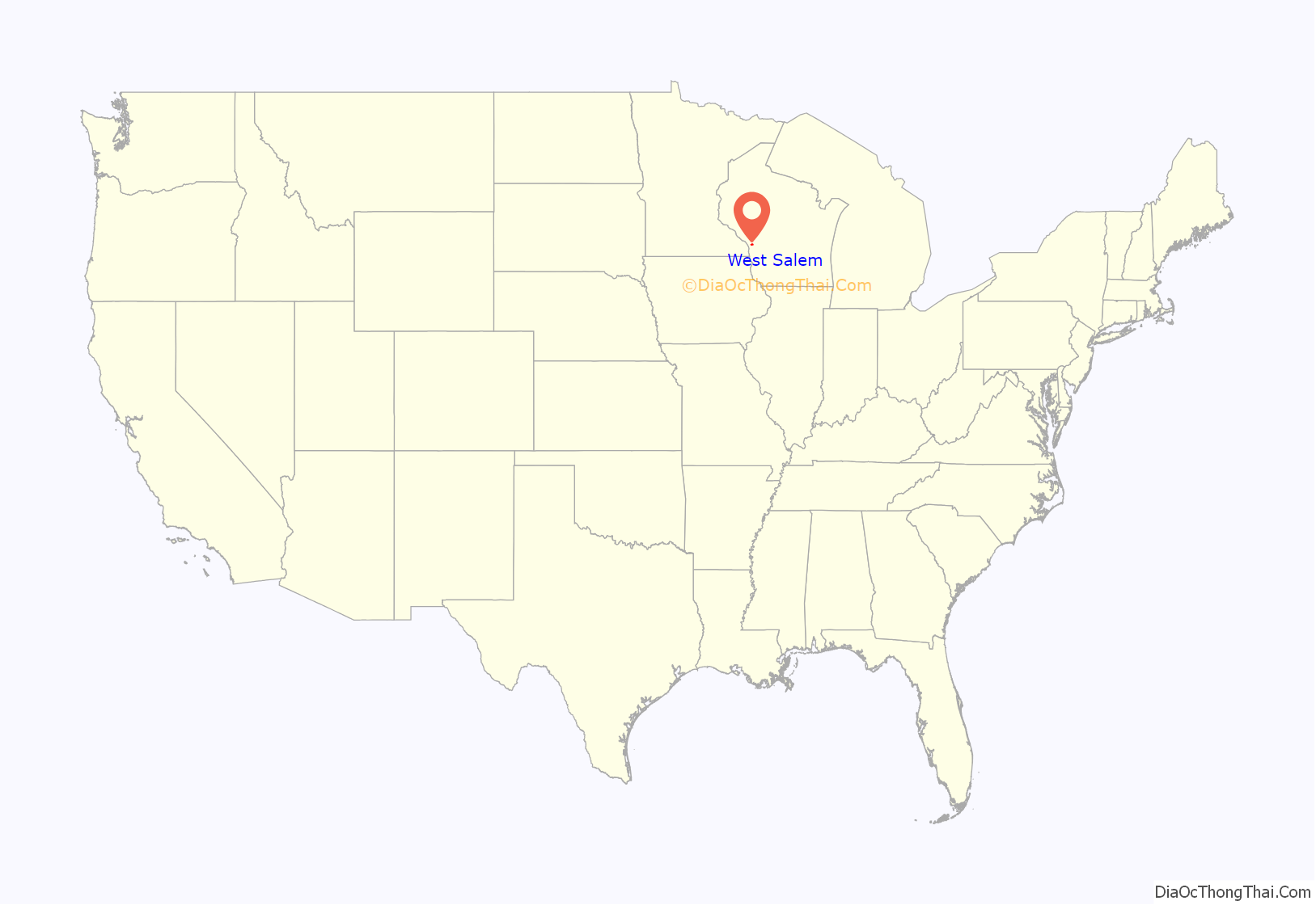
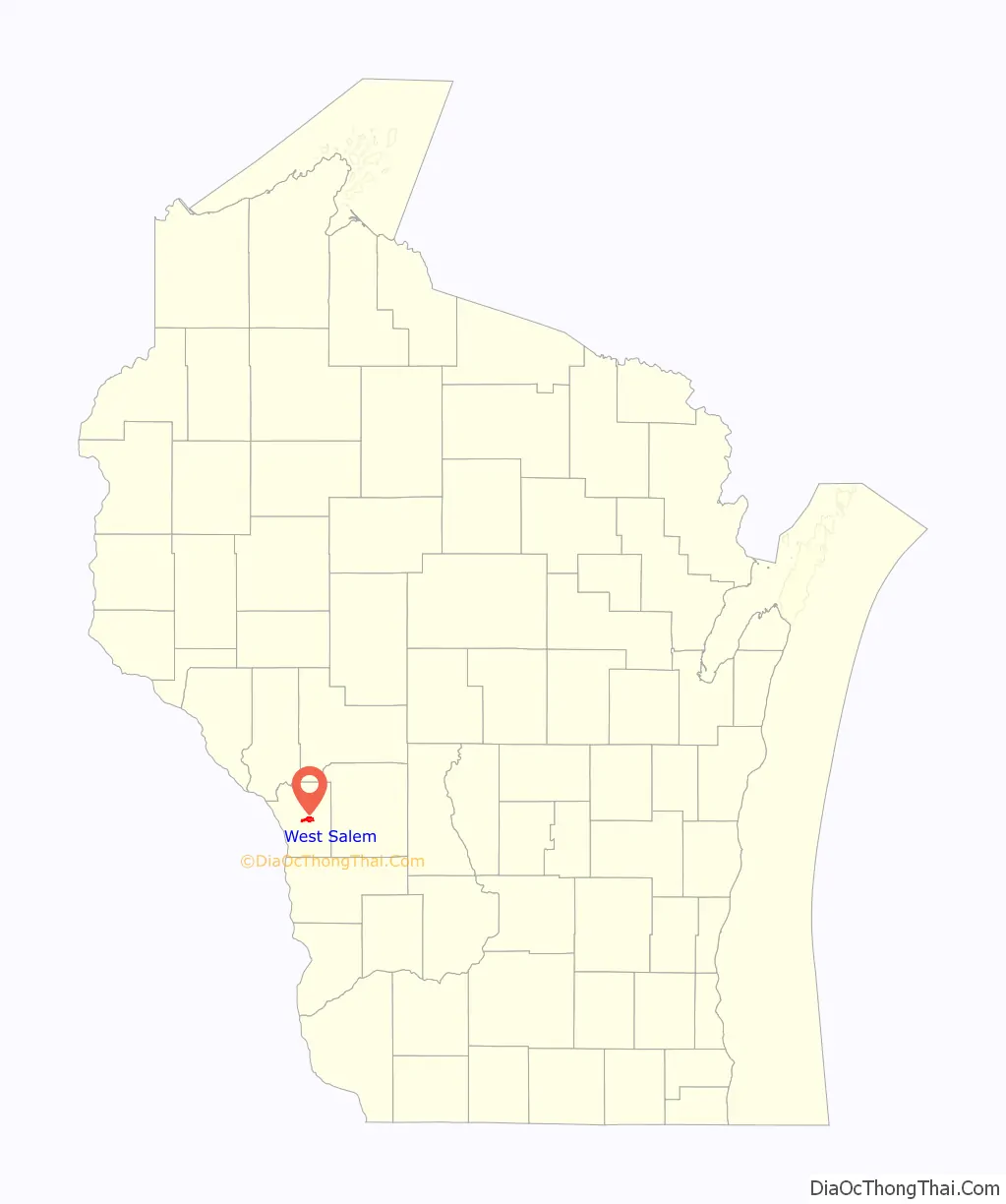
West Salem location map. Where is West Salem village?
History
West Salem was platted in 1856. It was named Salem by a Baptist minister named Elder Card because the word meant “peace” in Arabic and Hebrew. The word West was added to the name when mail was confused with another town in the state named Salem.
The donation of approximately ten acres of land to a railway company led to the creation of West Salem. A station was built in West Salem on the original Milwaukee and La Crosse Railway which ran to La Crosse. It was later taken over by the Chicago, Milwaukee and St. Paul Railway (later becoming the Chicago, Milwaukee, St. Paul and Pacific Railroad). The railway used the land to build a depot and tracks.
West Salem Road Map
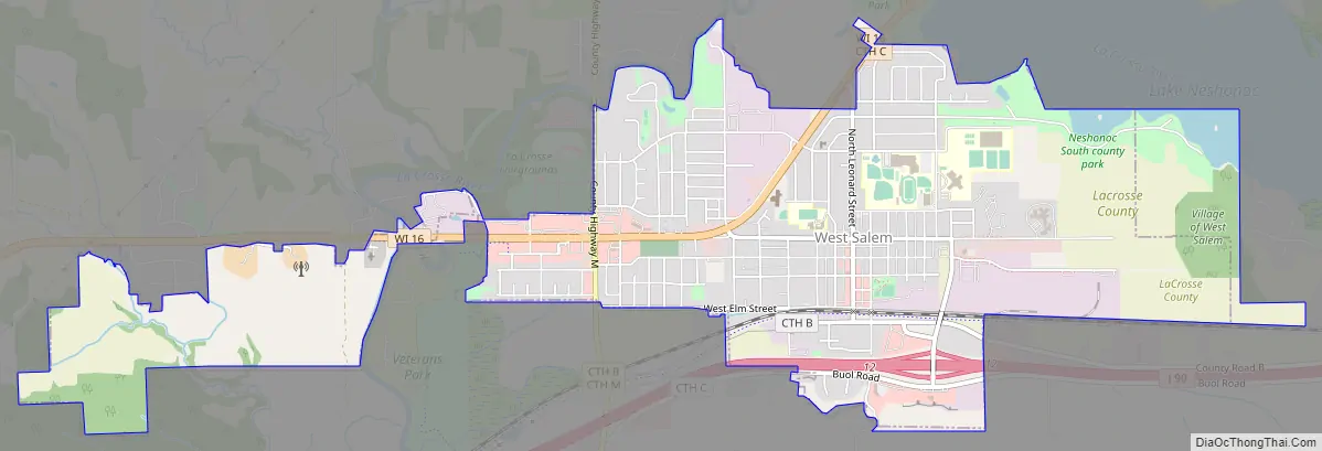
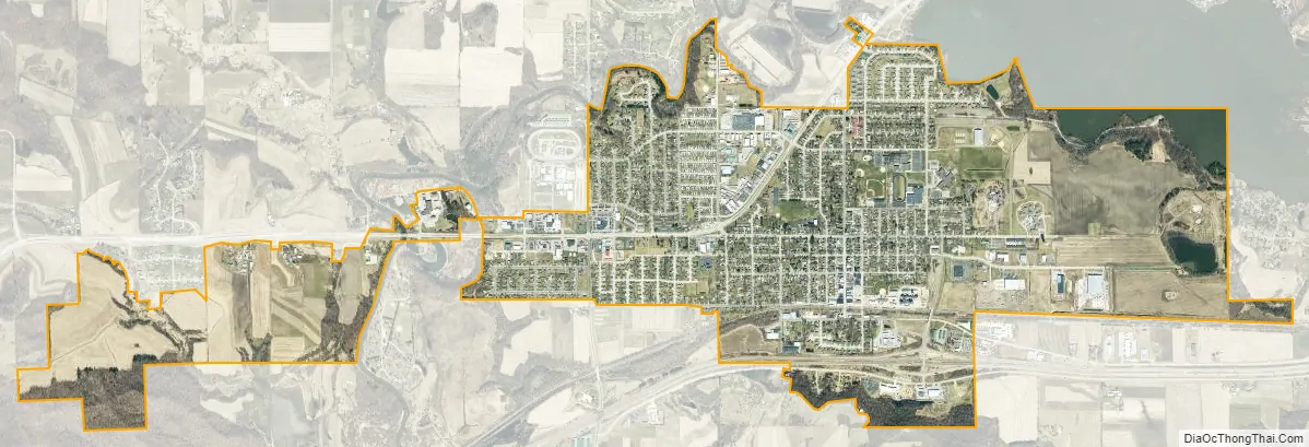
West Salem city Satellite Map
Geography
West Salem is located at 43°53′59″N 91°5′12″W / 43.89972°N 91.08667°W / 43.89972; -91.08667 (43.899795, -91.086614).
According to the United States Census Bureau, the village has a total area of 3.44 square miles (8.91 km), of which, 3.42 square miles (8.86 km) of it is land and 0.02 square miles (0.05 km) is water.
See also
Map of Wisconsin State and its subdivision:- Adams
- Ashland
- Barron
- Bayfield
- Brown
- Buffalo
- Burnett
- Calumet
- Chippewa
- Clark
- Columbia
- Crawford
- Dane
- Dodge
- Door
- Douglas
- Dunn
- Eau Claire
- Florence
- Fond du Lac
- Forest
- Grant
- Green
- Green Lake
- Iowa
- Iron
- Jackson
- Jefferson
- Juneau
- Kenosha
- Kewaunee
- La Crosse
- Lafayette
- Lake Michigan
- Lake Superior
- Langlade
- Lincoln
- Manitowoc
- Marathon
- Marinette
- Marquette
- Menominee
- Milwaukee
- Monroe
- Oconto
- Oneida
- Outagamie
- Ozaukee
- Pepin
- Pierce
- Polk
- Portage
- Price
- Racine
- Richland
- Rock
- Rusk
- Saint Croix
- Sauk
- Sawyer
- Shawano
- Sheboygan
- Taylor
- Trempealeau
- Vernon
- Vilas
- Walworth
- Washburn
- Washington
- Waukesha
- Waupaca
- Waushara
- Winnebago
- Wood
- Alabama
- Alaska
- Arizona
- Arkansas
- California
- Colorado
- Connecticut
- Delaware
- District of Columbia
- Florida
- Georgia
- Hawaii
- Idaho
- Illinois
- Indiana
- Iowa
- Kansas
- Kentucky
- Louisiana
- Maine
- Maryland
- Massachusetts
- Michigan
- Minnesota
- Mississippi
- Missouri
- Montana
- Nebraska
- Nevada
- New Hampshire
- New Jersey
- New Mexico
- New York
- North Carolina
- North Dakota
- Ohio
- Oklahoma
- Oregon
- Pennsylvania
- Rhode Island
- South Carolina
- South Dakota
- Tennessee
- Texas
- Utah
- Vermont
- Virginia
- Washington
- West Virginia
- Wisconsin
- Wyoming