Woodford is an unincorporated community and census-designated place (CDP) in Lafayette County, Wisconsin, United States. Woodford is south of Argyle, in the town of Wiota. Woodford has a post office with ZIP code 53599. As of the 2010 census, its population is 69.
| Name: | Woodford CDP |
|---|---|
| LSAD Code: | 57 |
| LSAD Description: | CDP (suffix) |
| State: | Wisconsin |
| County: | Lafayette County |
| Elevation: | 794 ft (242 m) |
| Total Area: | 0.254 sq mi (0.66 km²) |
| Land Area: | 0.241 sq mi (0.62 km²) |
| Water Area: | 0.013 sq mi (0.03 km²) |
| Total Population: | 69 |
| Population Density: | 286.3/sq mi (110.5/km²) |
| ZIP code: | 53599 |
| Area code: | 608 |
| FIPS code: | 5588675 |
| GNISfeature ID: | 1576987 |
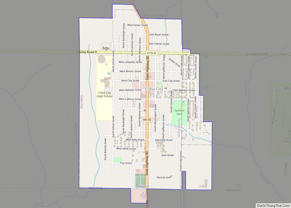
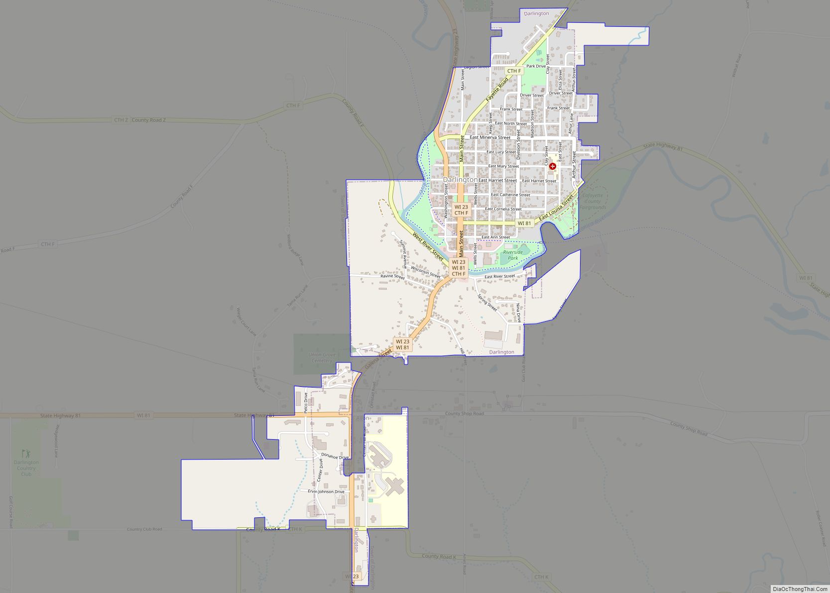
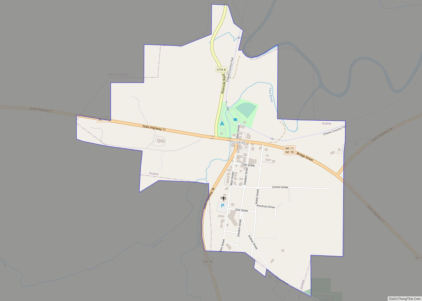
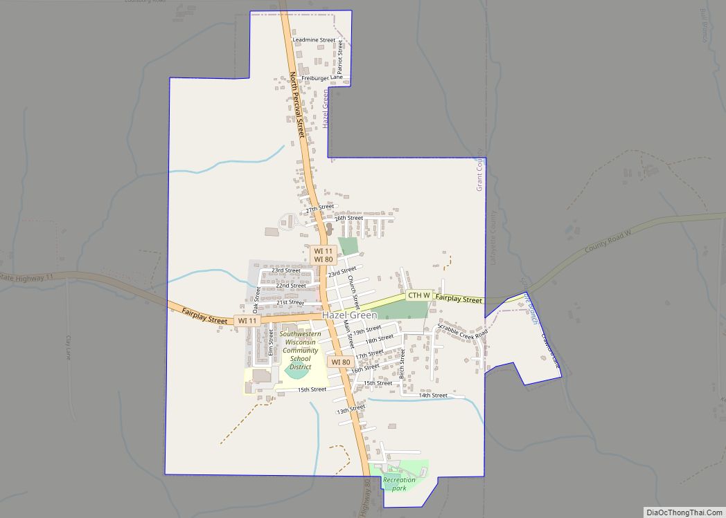
Online Interactive Map
Click on ![]() to view map in "full screen" mode.
to view map in "full screen" mode.
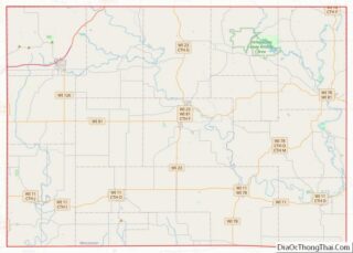
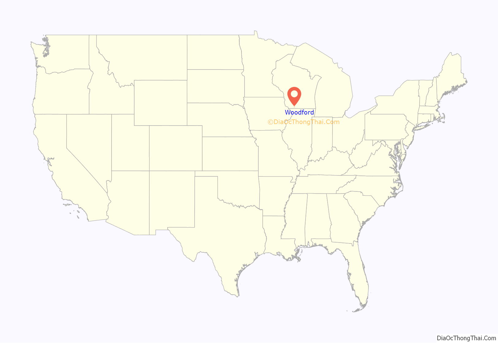
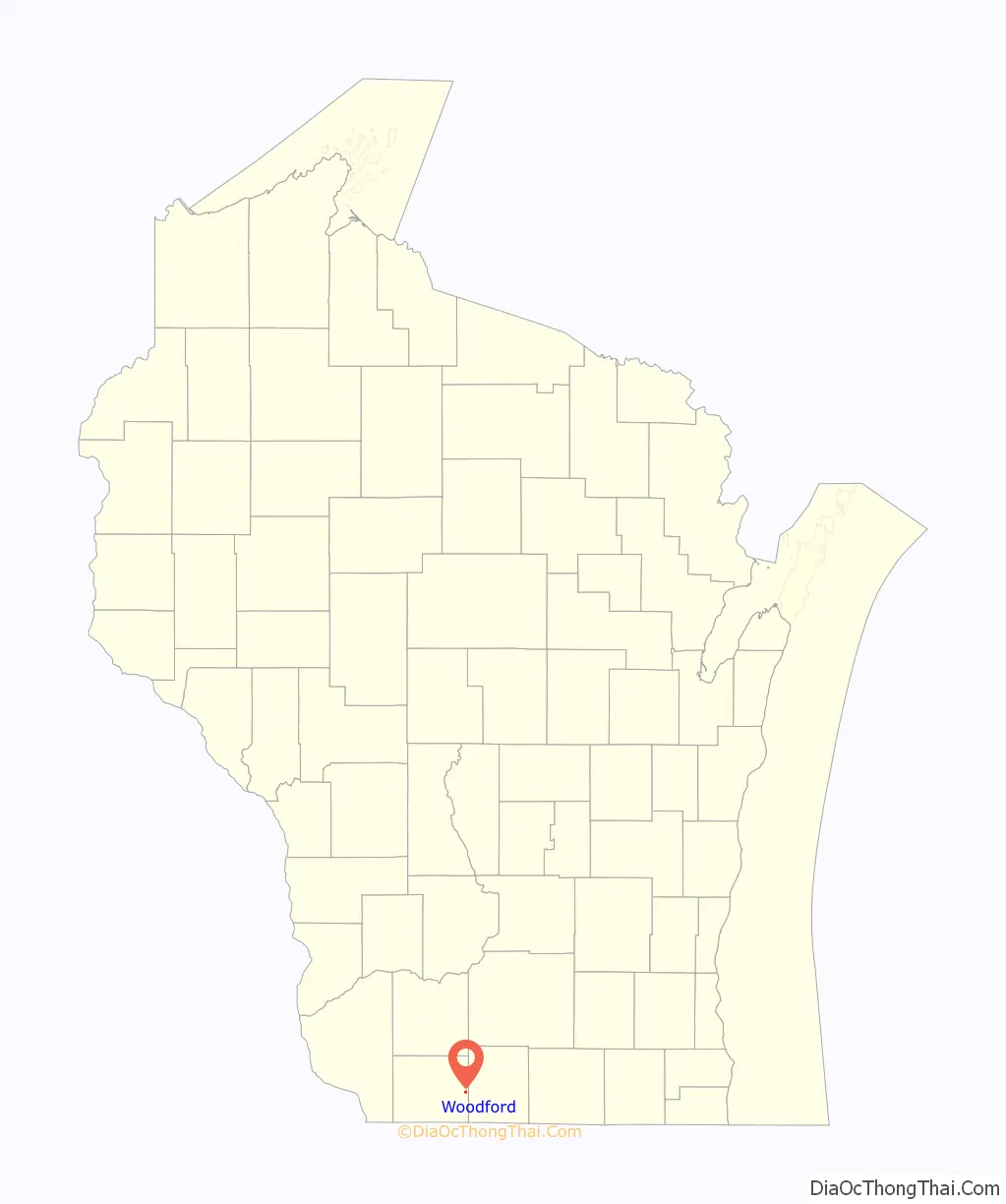
Woodford location map. Where is Woodford CDP?
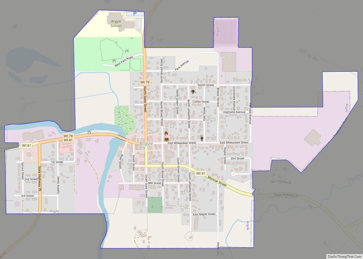
Woodford Road Map
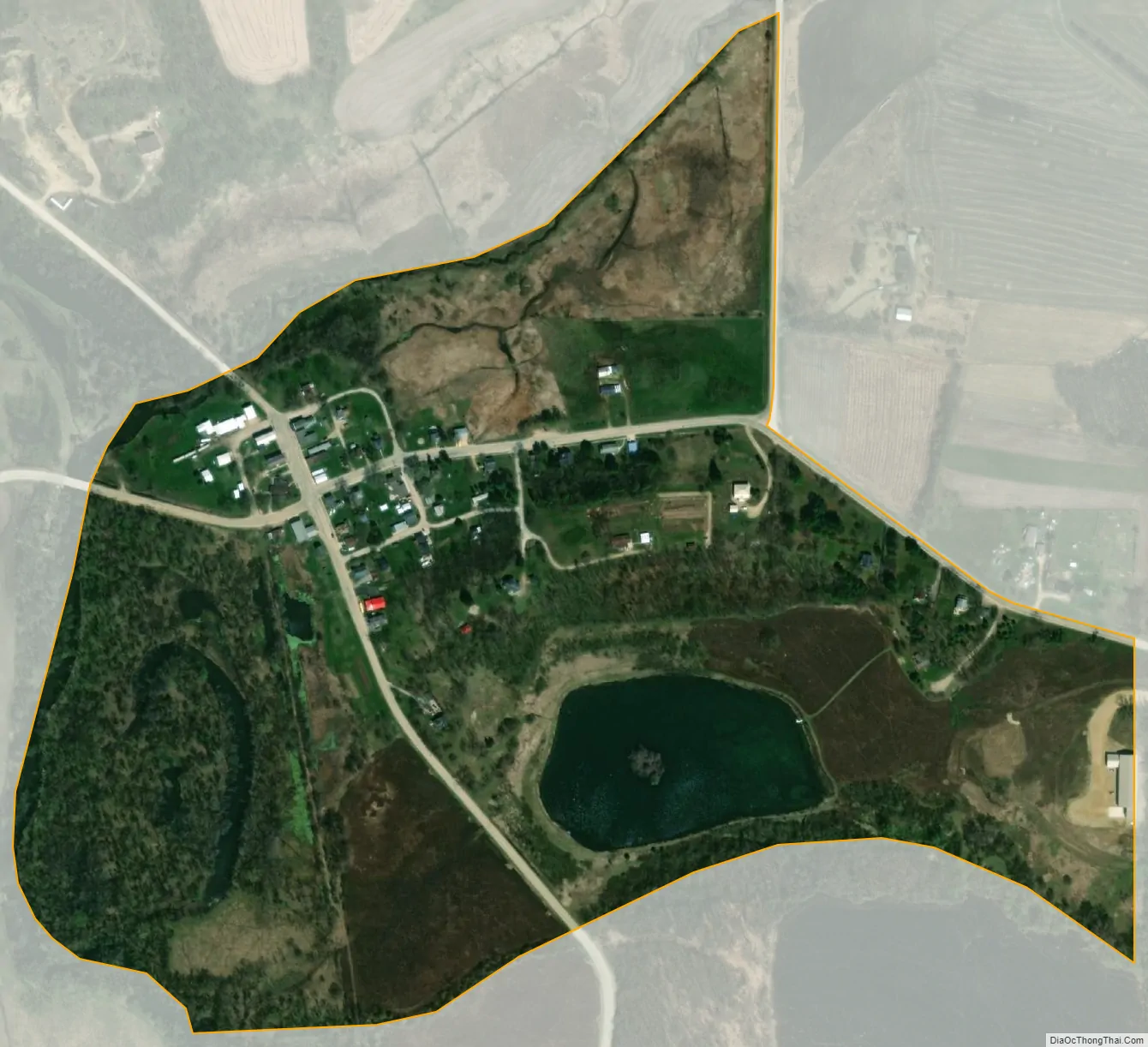
Woodford city Satellite Map
Geography
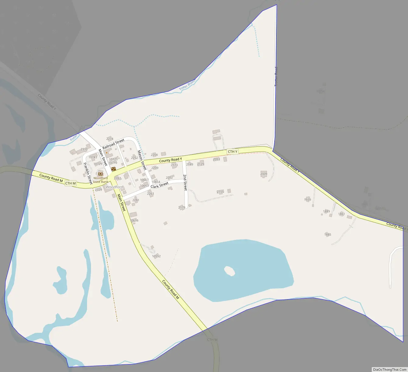
Woodford is in eastern Lafayette County, in the eastern part of the town of Woodford. It sits in a valley on the east side of the East Branch Pecatonica River, 7 miles (11 km) by road south of the village of Argyle and 15 miles (24 km) east of Darlington, the Lafayette county seat. According to the U.S. Census Bureau, the CDP has a total area of 0.25 square miles (0.65 km), of which 0.01 square miles (0.03 km), or 5.12%, are water.
See also
Map of Wisconsin State and its subdivision:- Adams
- Ashland
- Barron
- Bayfield
- Brown
- Buffalo
- Burnett
- Calumet
- Chippewa
- Clark
- Columbia
- Crawford
- Dane
- Dodge
- Door
- Douglas
- Dunn
- Eau Claire
- Florence
- Fond du Lac
- Forest
- Grant
- Green
- Green Lake
- Iowa
- Iron
- Jackson
- Jefferson
- Juneau
- Kenosha
- Kewaunee
- La Crosse
- Lafayette
- Lake Michigan
- Lake Superior
- Langlade
- Lincoln
- Manitowoc
- Marathon
- Marinette
- Marquette
- Menominee
- Milwaukee
- Monroe
- Oconto
- Oneida
- Outagamie
- Ozaukee
- Pepin
- Pierce
- Polk
- Portage
- Price
- Racine
- Richland
- Rock
- Rusk
- Saint Croix
- Sauk
- Sawyer
- Shawano
- Sheboygan
- Taylor
- Trempealeau
- Vernon
- Vilas
- Walworth
- Washburn
- Washington
- Waukesha
- Waupaca
- Waushara
- Winnebago
- Wood
- Alabama
- Alaska
- Arizona
- Arkansas
- California
- Colorado
- Connecticut
- Delaware
- District of Columbia
- Florida
- Georgia
- Hawaii
- Idaho
- Illinois
- Indiana
- Iowa
- Kansas
- Kentucky
- Louisiana
- Maine
- Maryland
- Massachusetts
- Michigan
- Minnesota
- Mississippi
- Missouri
- Montana
- Nebraska
- Nevada
- New Hampshire
- New Jersey
- New Mexico
- New York
- North Carolina
- North Dakota
- Ohio
- Oklahoma
- Oregon
- Pennsylvania
- Rhode Island
- South Carolina
- South Dakota
- Tennessee
- Texas
- Utah
- Vermont
- Virginia
- Washington
- West Virginia
- Wisconsin
- Wyoming