Wrightstown is a village in Brown and Outagamie counties in the U.S. state of Wisconsin. The population was 2,827 at the 2010 census. Of this, 2,676 were in Brown County, and 151 were in Outagamie County. The village is surrounded mostly by the westernmost part of the Town of Wrightstown in Brown County. On February 28, 2002, the village annexed a portion of land within the adjacent Town of Kaukauna in Outagamie County.
Wrightstown is part of the Green Bay Metropolitan Statistical Area.
| Name: | Wrightstown village |
|---|---|
| LSAD Code: | 47 |
| LSAD Description: | village (suffix) |
| State: | Wisconsin |
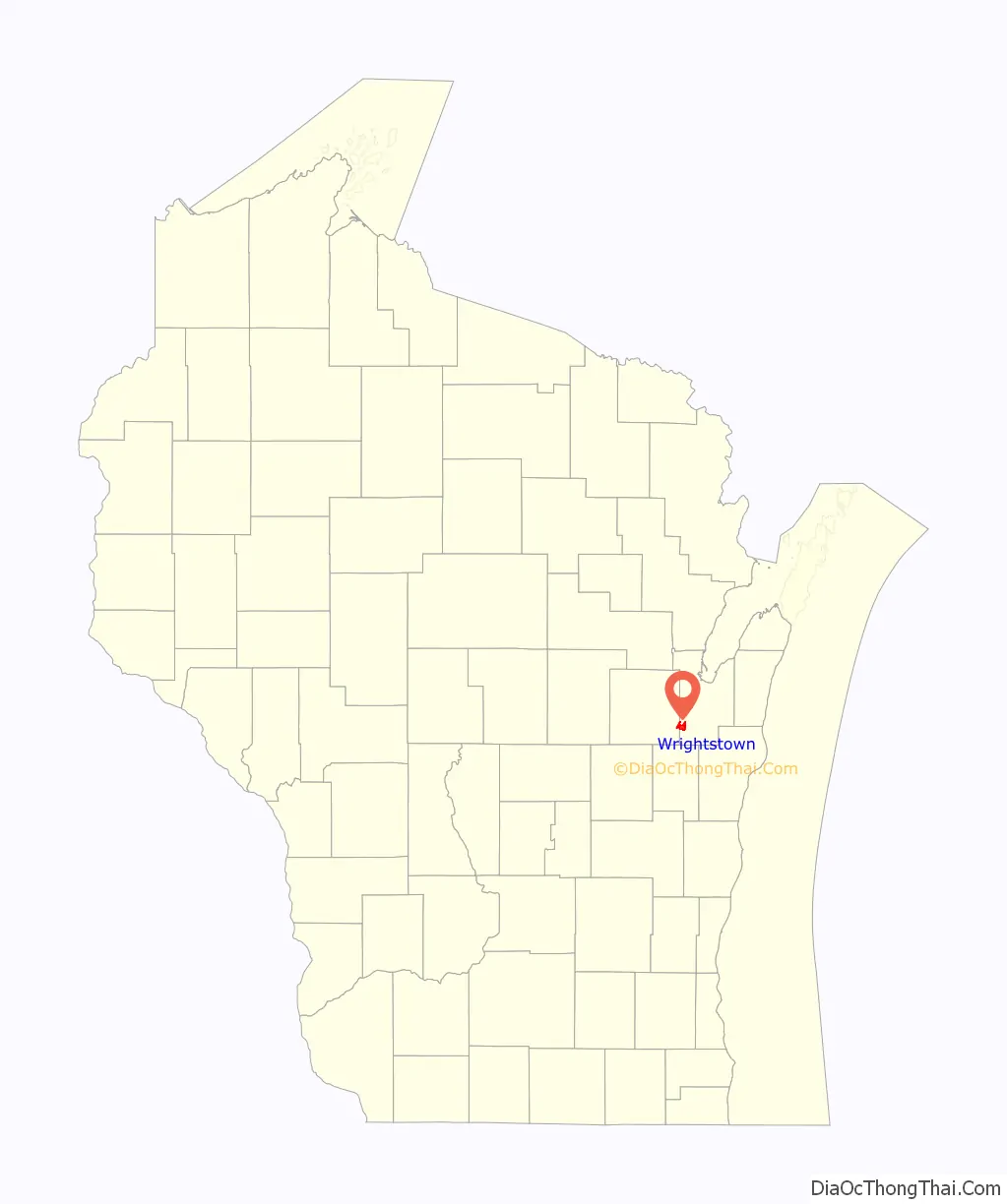
| County: | Brown County, Outagamie County |
| Elevation: | 709 ft (216 m) |
| Total Area: | 4.52 sq mi (11.71 km²) |
| Land Area: | 4.31 sq mi (11.17 km²) |
| Water Area: | 0.21 sq mi (0.53 km²) |
| Total Population: | 2,827 |
| Population Density: | 813.17/sq mi (313.99/km²) |
| Area code: | 920 |
| FIPS code: | 5589150 |
| GNISfeature ID: | 1584485 |
| Website: | vil.wrightstown.wi.us |
Online Interactive Map
Click on ![]() to view map in "full screen" mode.
to view map in "full screen" mode.
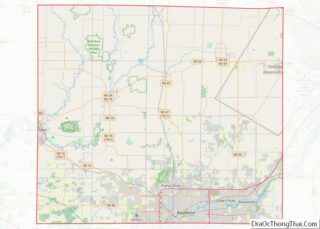
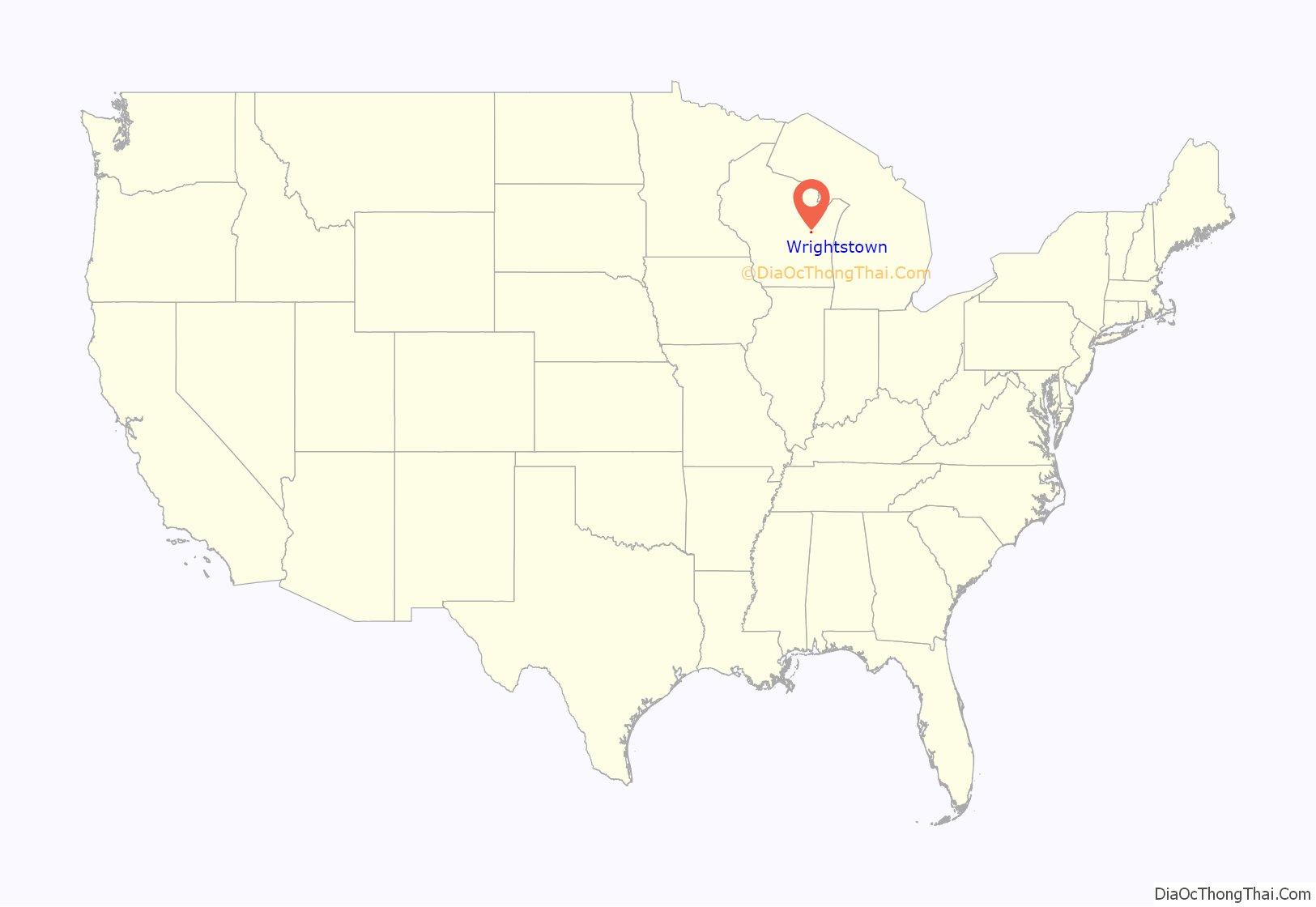
Wrightstown location map. Where is Wrightstown village?
History
The original establishment was called Bridgeport by its founder. Mr. Wright acquired much of the property in this settlement following his arrival in 1833. A post office called Wrightstown has been in operation since 1852. The village was named for Joel Wright, the owner of the original town site.
Wrightstown Road Map
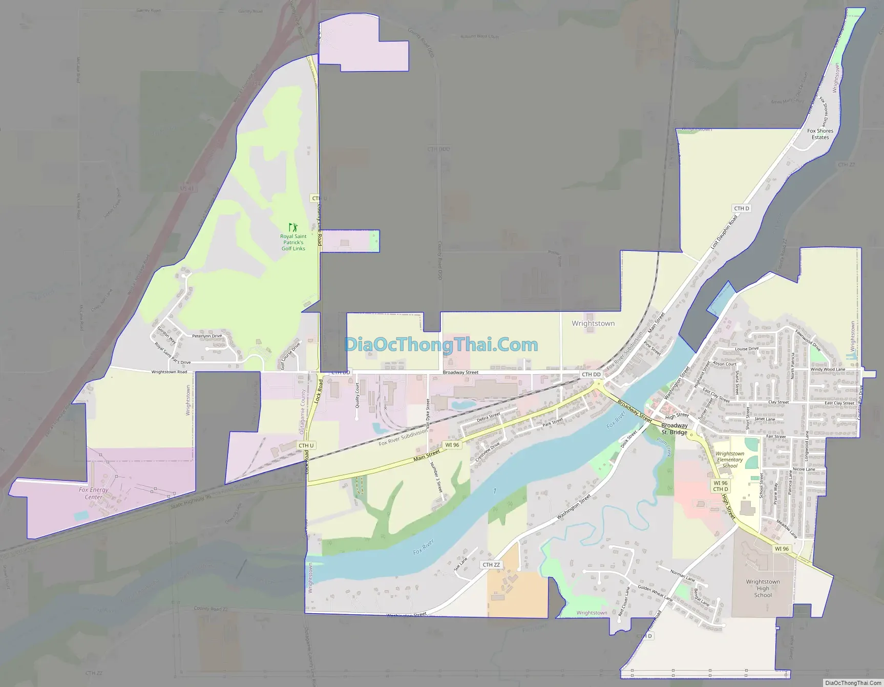
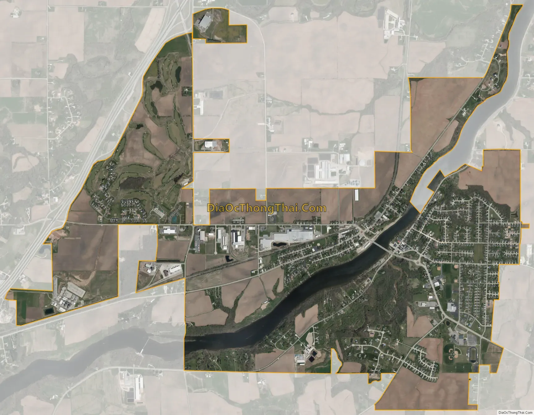
Wrightstown city Satellite Map
Geography
Wrightstown is located at 44°20′N 88°10′W / 44.333°N 88.167°W / 44.333; -88.167 (44.326, -88.164).
According to the United States Census Bureau, the village has a total area of 4.30 square miles (11.14 km), of which, 4.09 square miles (10.59 km) of it is land and 0.21 square miles (0.54 km) is water.
The Fox River runs through the middle of the village.
See also
Map of Wisconsin State and its subdivision:- Adams
- Ashland
- Barron
- Bayfield
- Brown
- Buffalo
- Burnett
- Calumet
- Chippewa
- Clark
- Columbia
- Crawford
- Dane
- Dodge
- Door
- Douglas
- Dunn
- Eau Claire
- Florence
- Fond du Lac
- Forest
- Grant
- Green
- Green Lake
- Iowa
- Iron
- Jackson
- Jefferson
- Juneau
- Kenosha
- Kewaunee
- La Crosse
- Lafayette
- Lake Michigan
- Lake Superior
- Langlade
- Lincoln
- Manitowoc
- Marathon
- Marinette
- Marquette
- Menominee
- Milwaukee
- Monroe
- Oconto
- Oneida
- Outagamie
- Ozaukee
- Pepin
- Pierce
- Polk
- Portage
- Price
- Racine
- Richland
- Rock
- Rusk
- Saint Croix
- Sauk
- Sawyer
- Shawano
- Sheboygan
- Taylor
- Trempealeau
- Vernon
- Vilas
- Walworth
- Washburn
- Washington
- Waukesha
- Waupaca
- Waushara
- Winnebago
- Wood
- Alabama
- Alaska
- Arizona
- Arkansas
- California
- Colorado
- Connecticut
- Delaware
- District of Columbia
- Florida
- Georgia
- Hawaii
- Idaho
- Illinois
- Indiana
- Iowa
- Kansas
- Kentucky
- Louisiana
- Maine
- Maryland
- Massachusetts
- Michigan
- Minnesota
- Mississippi
- Missouri
- Montana
- Nebraska
- Nevada
- New Hampshire
- New Jersey
- New Mexico
- New York
- North Carolina
- North Dakota
- Ohio
- Oklahoma
- Oregon
- Pennsylvania
- Rhode Island
- South Carolina
- South Dakota
- Tennessee
- Texas
- Utah
- Vermont
- Virginia
- Washington
- West Virginia
- Wisconsin
- Wyoming