Wyeville is a village in Monroe County, Wisconsin, United States. It is located on Wisconsin Highway 21. The population was 147 at the 2010 census.
| Name: | Wyeville village |
|---|---|
| LSAD Code: | 47 |
| LSAD Description: | village (suffix) |
| State: | Wisconsin |
| County: | Monroe County |
| Elevation: | 919 ft (280 m) |
| Total Area: | 0.56 sq mi (1.46 km²) |
| Land Area: | 0.56 sq mi (1.46 km²) |
| Water Area: | 0.00 sq mi (0.00 km²) |
| Total Population: | 147 |
| Population Density: | 253.10/sq mi (97.78/km²) |
| Area code: | 608 |
| FIPS code: | 5589275 |
| GNISfeature ID: | 1577062 |
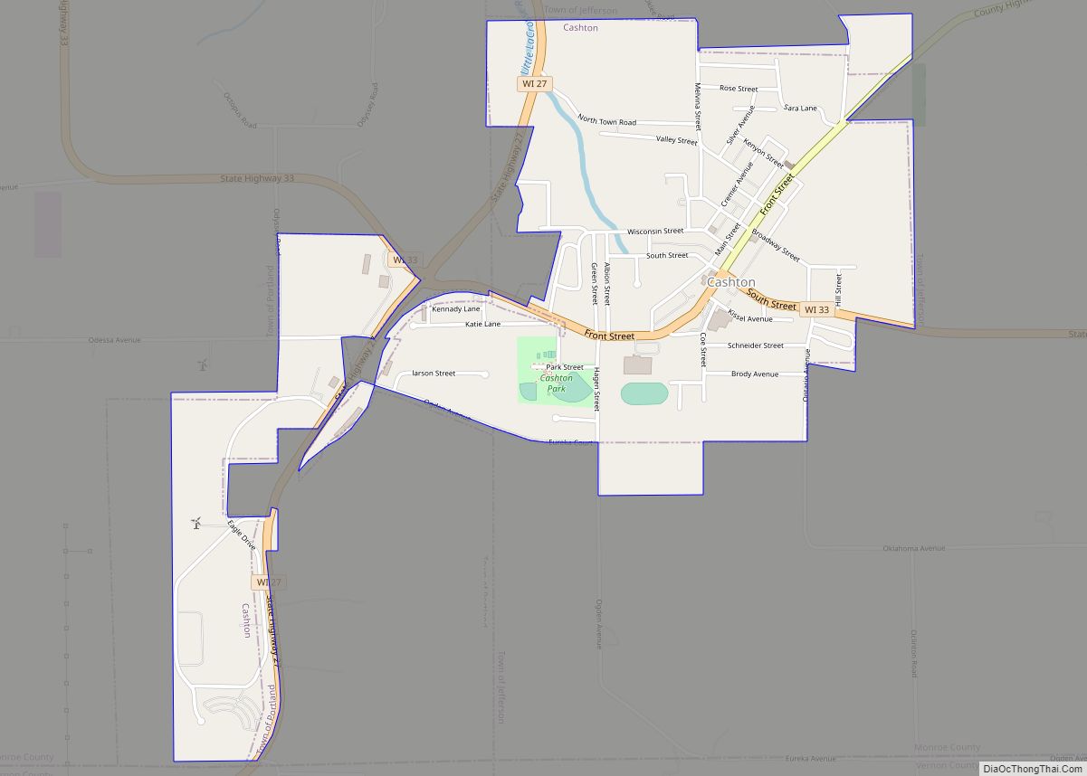
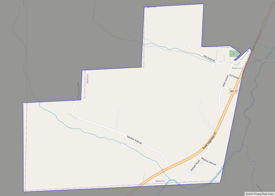
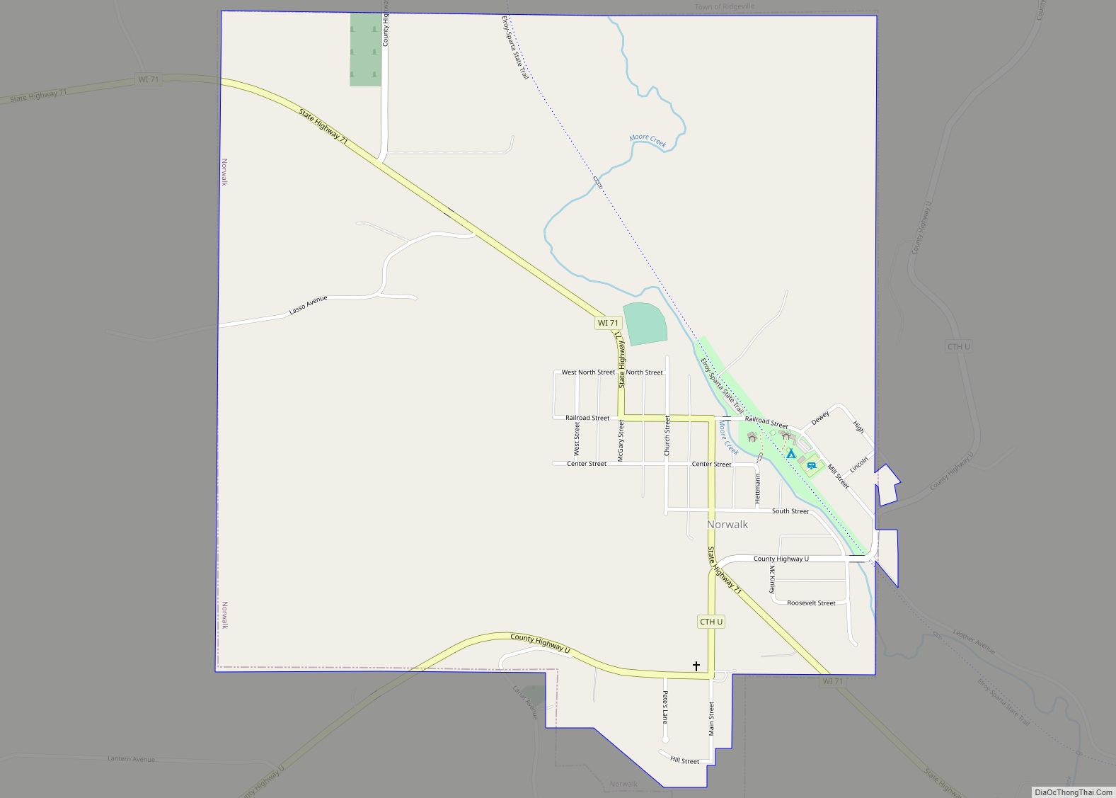
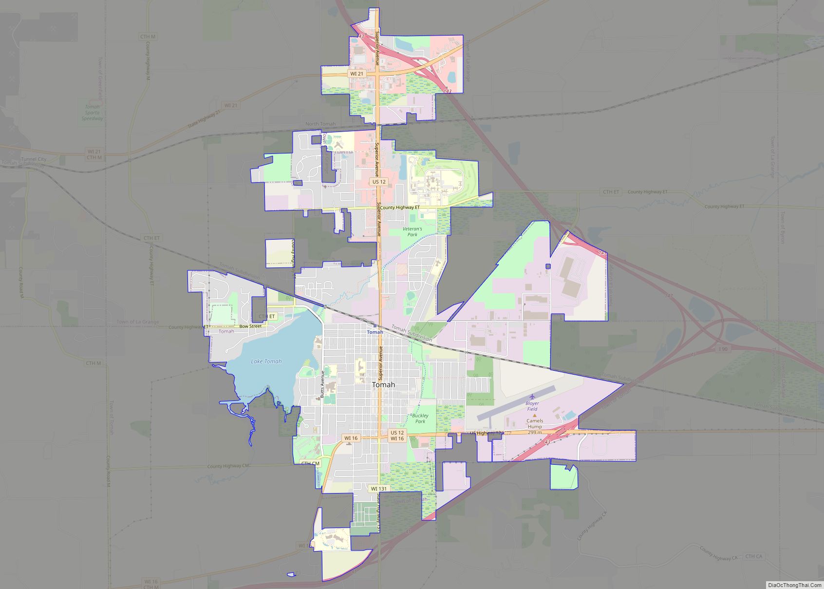
Online Interactive Map
Click on ![]() to view map in "full screen" mode.
to view map in "full screen" mode.
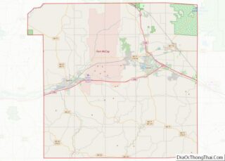
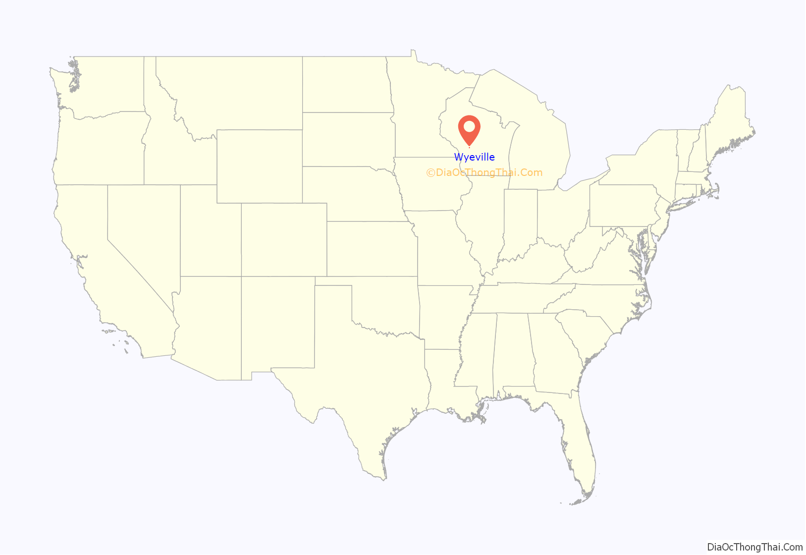
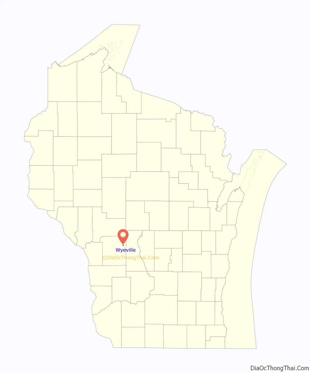
Wyeville location map. Where is Wyeville village?
History
The West Wisconsin Railway was authorized in 1876 to build from St. Paul, Minnesota through to reach the Chicago and Northwestern Railroad at Elroy, Wisconsin. This railroad became the Chicago, St. Paul, Minneapolis and Omaha Railway (“The Omaha Road”) in 1880. At this location, a branch rail line was constructed eastward to Necedah. The location originally was named “Necedah Junction”. The local post office was called Wyeville when established in 1890 and the first postmaster was Charles Brooks. The name Wyeville is documented as a variation of “Wythe”, a county in Virginia. Eventually the name “Necedah Junction” was dropped in 1911 and the community was called the same name as the post office.
The railway junction became a crossing in 1911 for the lines of the Chicago and North Western Railway and its Omaha Road subsidiary. The Milwaukee, Sparta, and Northwestern Railroad, a subsidiary of the Chicago and North Western Railway, began the “Air Line” or “Adams Cutoff” from Adams, Wisconsin towards Sparta, Wisconsin in 1910. This railroad used the line from Necedah to Wyeville as part of this new route. A true railroad wye was built at the railroad crossover, along with an interlocking tower and railroad depot.
Until 1963, passengers of Twin Cities 400 and the Rochester 400 changed trains there, as it was a scheduled transfer point for the two streamliners.
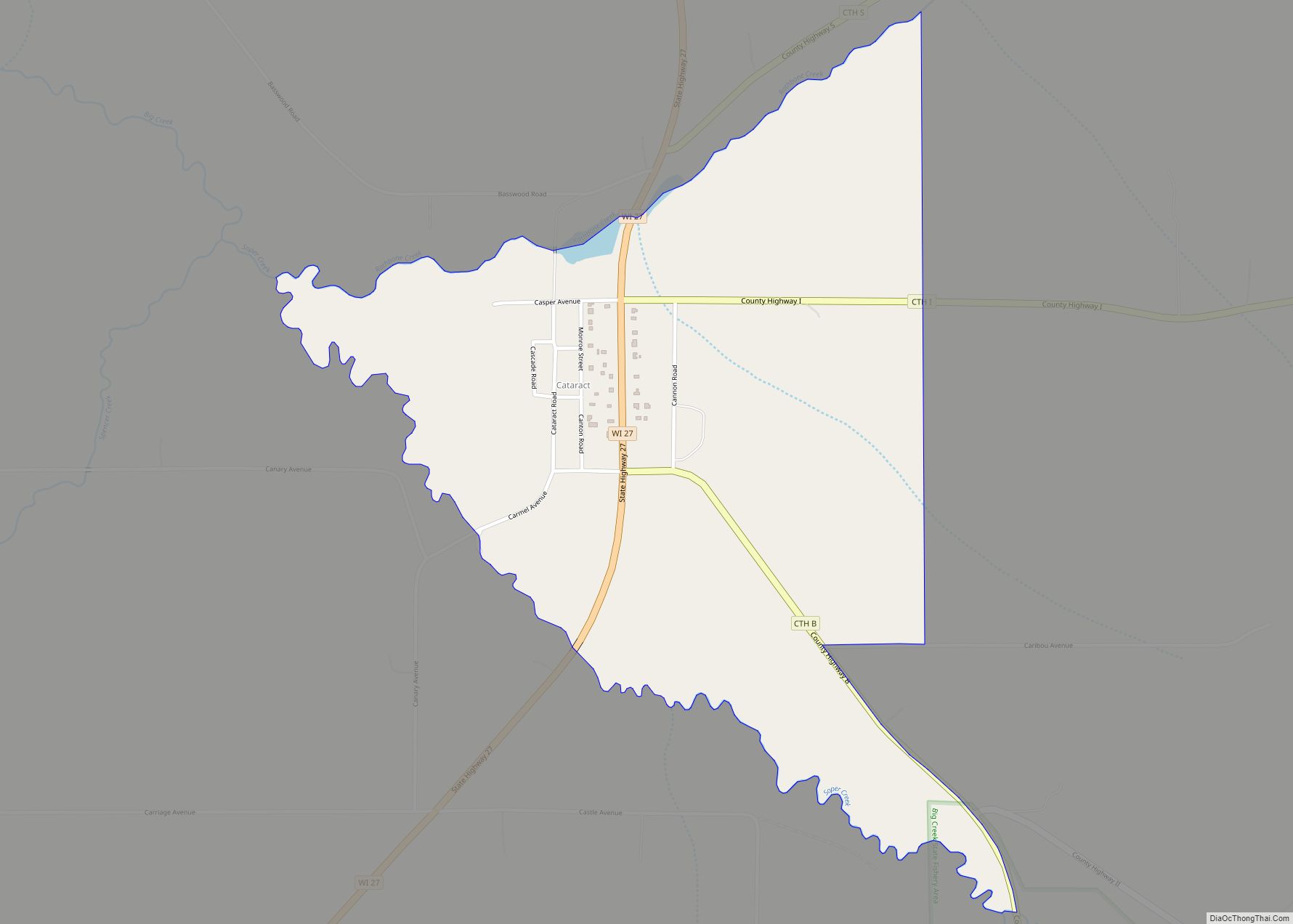
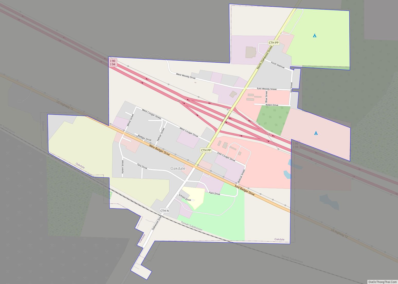
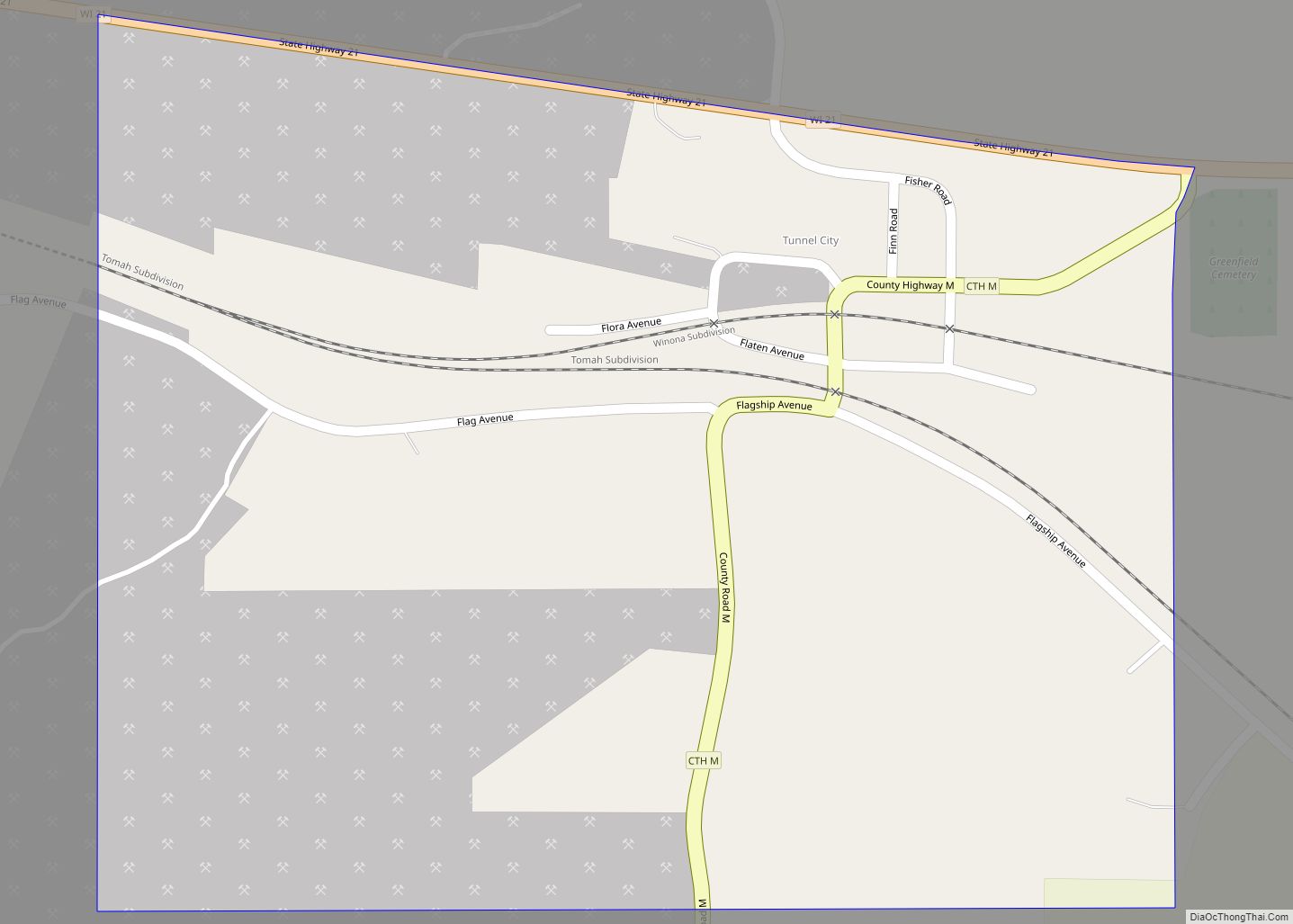
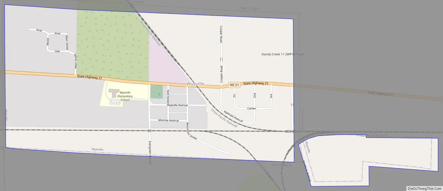
Wyeville Road Map
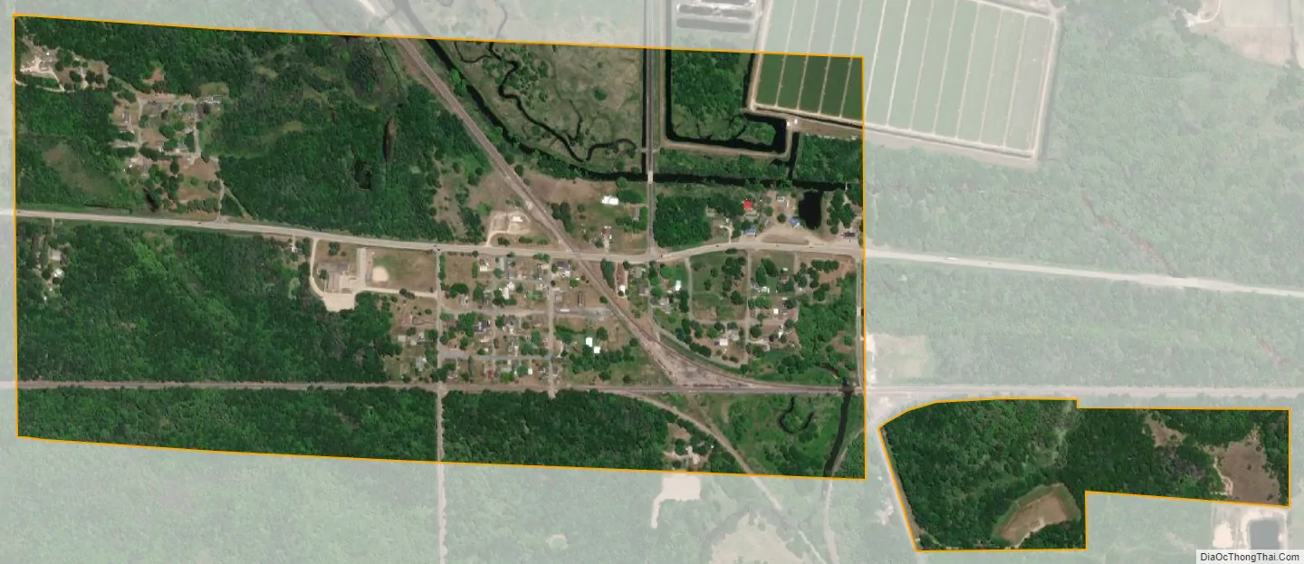
Wyeville city Satellite Map
Geography
According to the United States Census Bureau, the village has a total area of 0.59 square miles (1.53 km), all of it land.
See also
Map of Wisconsin State and its subdivision:- Adams
- Ashland
- Barron
- Bayfield
- Brown
- Buffalo
- Burnett
- Calumet
- Chippewa
- Clark
- Columbia
- Crawford
- Dane
- Dodge
- Door
- Douglas
- Dunn
- Eau Claire
- Florence
- Fond du Lac
- Forest
- Grant
- Green
- Green Lake
- Iowa
- Iron
- Jackson
- Jefferson
- Juneau
- Kenosha
- Kewaunee
- La Crosse
- Lafayette
- Lake Michigan
- Lake Superior
- Langlade
- Lincoln
- Manitowoc
- Marathon
- Marinette
- Marquette
- Menominee
- Milwaukee
- Monroe
- Oconto
- Oneida
- Outagamie
- Ozaukee
- Pepin
- Pierce
- Polk
- Portage
- Price
- Racine
- Richland
- Rock
- Rusk
- Saint Croix
- Sauk
- Sawyer
- Shawano
- Sheboygan
- Taylor
- Trempealeau
- Vernon
- Vilas
- Walworth
- Washburn
- Washington
- Waukesha
- Waupaca
- Waushara
- Winnebago
- Wood
- Alabama
- Alaska
- Arizona
- Arkansas
- California
- Colorado
- Connecticut
- Delaware
- District of Columbia
- Florida
- Georgia
- Hawaii
- Idaho
- Illinois
- Indiana
- Iowa
- Kansas
- Kentucky
- Louisiana
- Maine
- Maryland
- Massachusetts
- Michigan
- Minnesota
- Mississippi
- Missouri
- Montana
- Nebraska
- Nevada
- New Hampshire
- New Jersey
- New Mexico
- New York
- North Carolina
- North Dakota
- Ohio
- Oklahoma
- Oregon
- Pennsylvania
- Rhode Island
- South Carolina
- South Dakota
- Tennessee
- Texas
- Utah
- Vermont
- Virginia
- Washington
- West Virginia
- Wisconsin
- Wyoming