Athens is a town in Mercer County, West Virginia, United States. The population was 944 at the 2020 census. It is part of the Bluefield, WV-VA micropolitan area which has a population of 107,578. Athens is the home of Concord University.
| Name: | Athens town |
|---|---|
| LSAD Code: | 43 |
| LSAD Description: | town (suffix) |
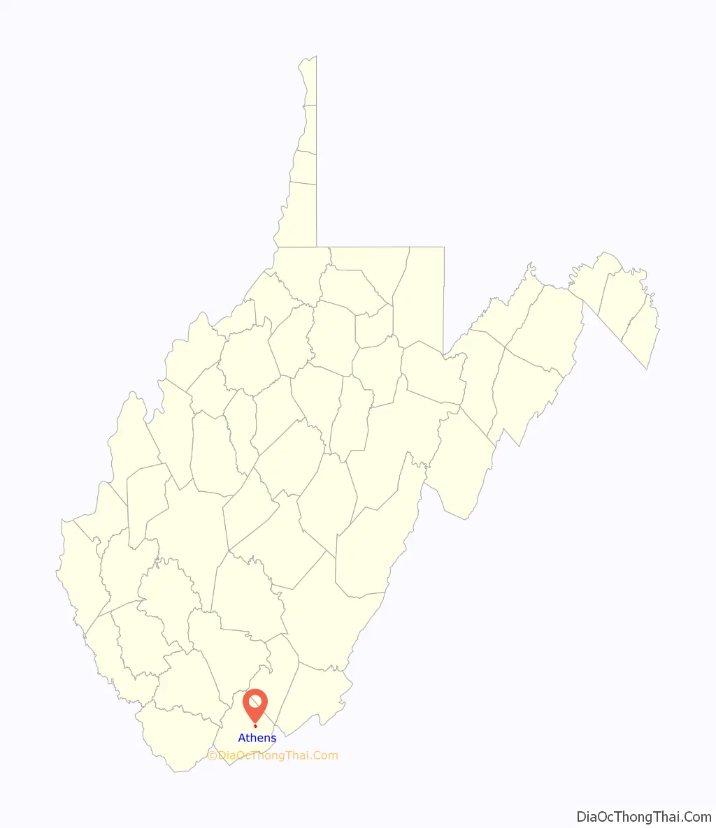
| State: | West Virginia |
| County: | Mercer County |
| Elevation: | 2,585 ft (788 m) |
| Total Area: | 0.39 sq mi (1.02 km²) |
| Land Area: | 0.39 sq mi (1.02 km²) |
| Water Area: | 0.00 sq mi (0.00 km²) |
| Total Population: | 944 |
| Population Density: | 2,276.65/sq mi (879.74/km²) |
| ZIP code: | 24712 |
| Area code: | 304 |
| FIPS code: | 5403292 |
| GNISfeature ID: | 1535072 |
| Website: | www.townofathens.com |
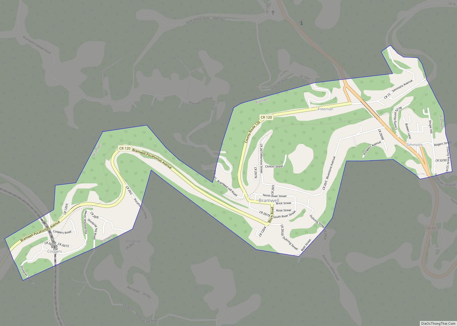
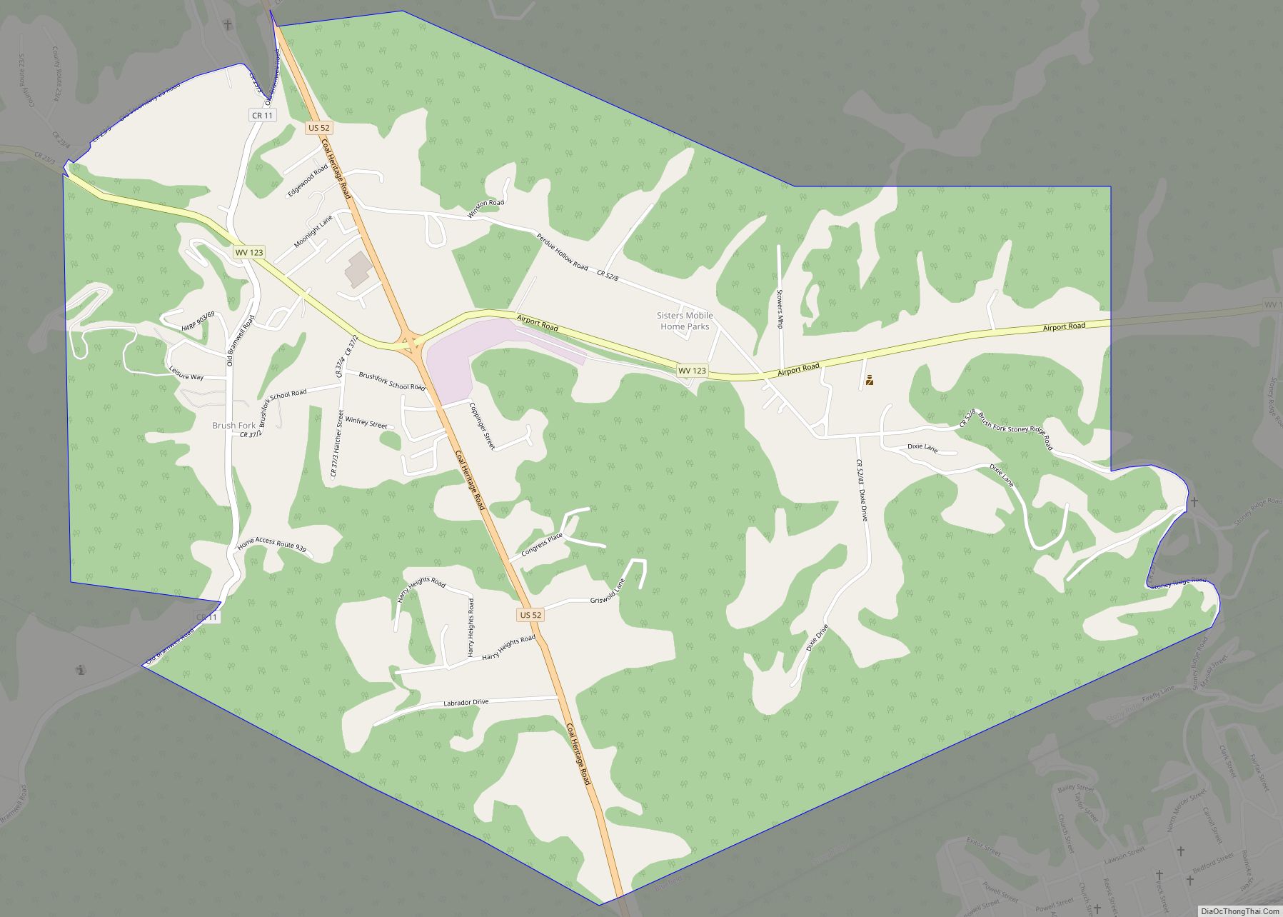
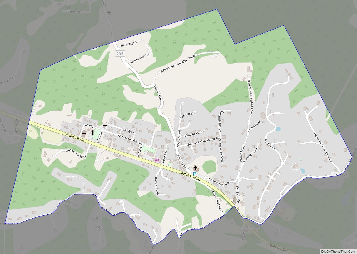
Online Interactive Map
Click on ![]() to view map in "full screen" mode.
to view map in "full screen" mode.
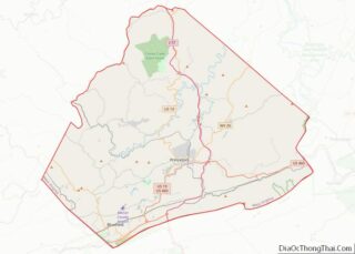
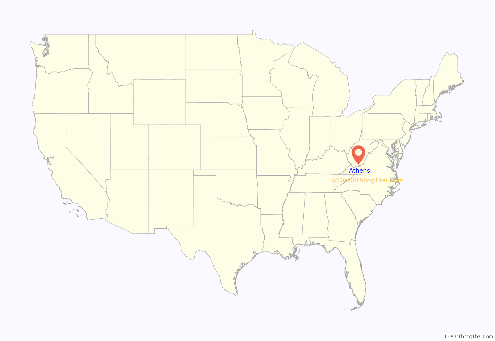
Athens location map. Where is Athens town?
History
The community was named Concord; however, in 1896 another post office in Concord, Hampshire County, West Virginia was established and the town’s name was changed to Athens after the Greek city and a center of learning. The community incorporated as a town on August 6, 1906.
Located near Athens is the Col. William Henderson French House, listed on the National Register of Historic Places in 1976.
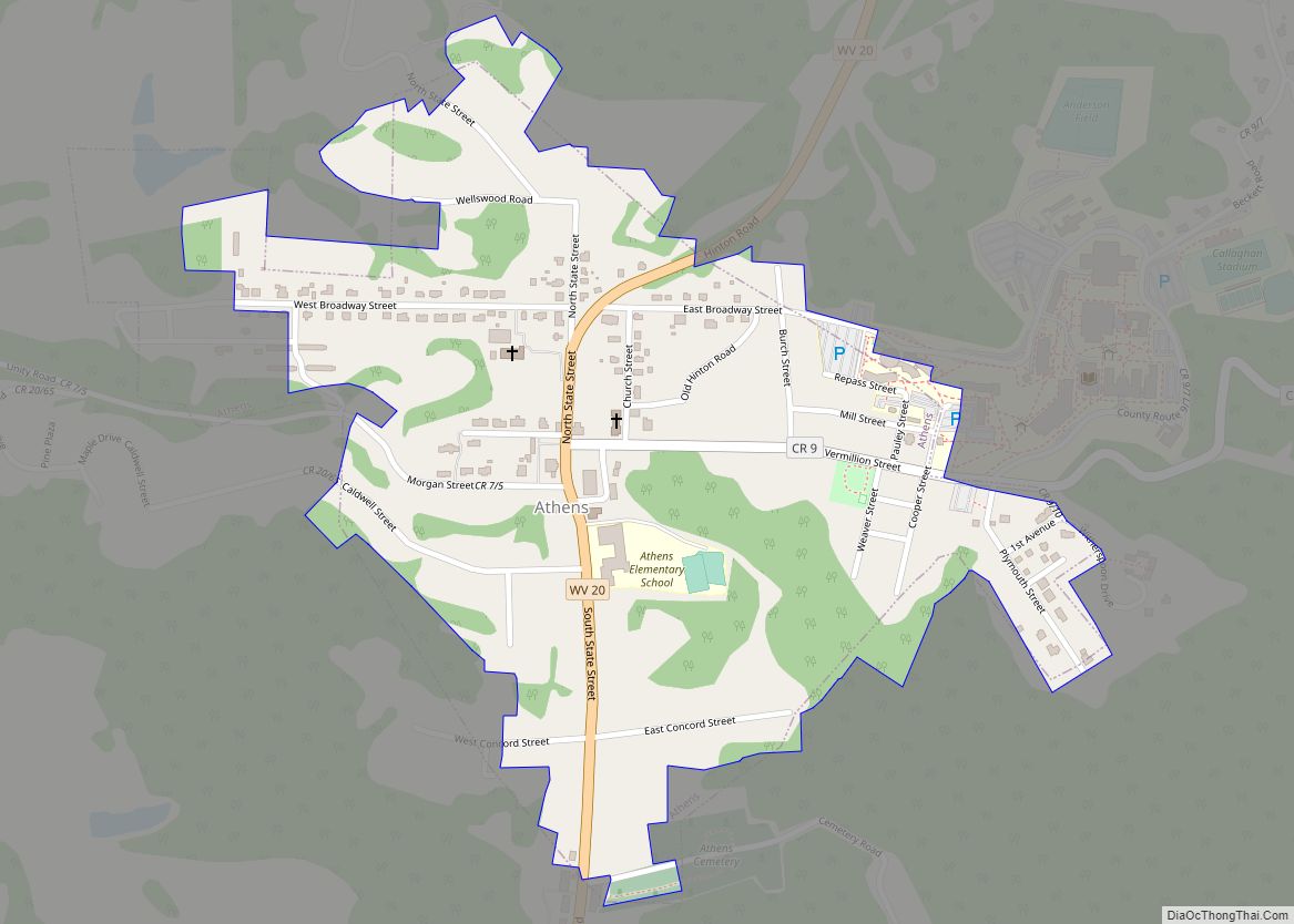
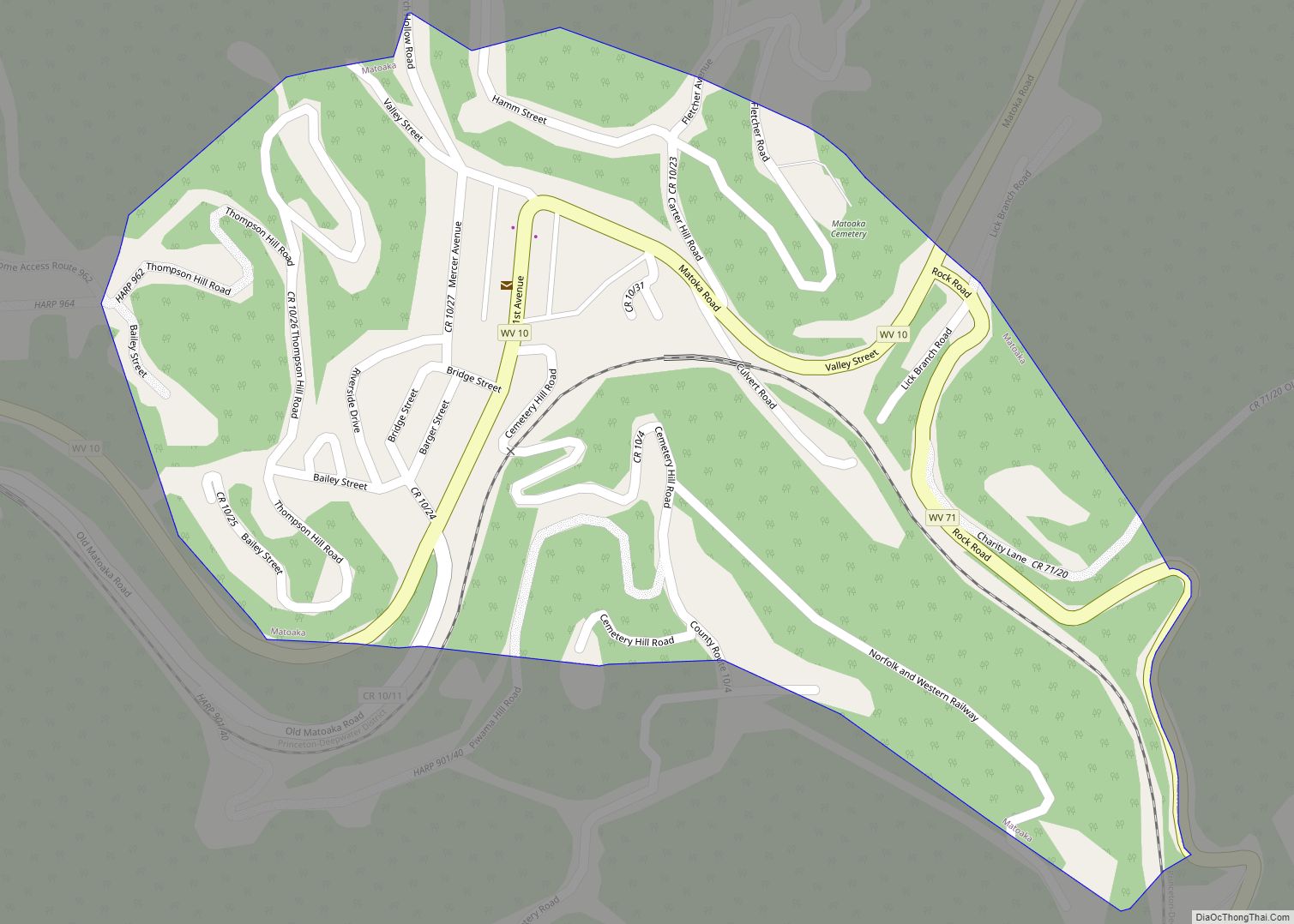
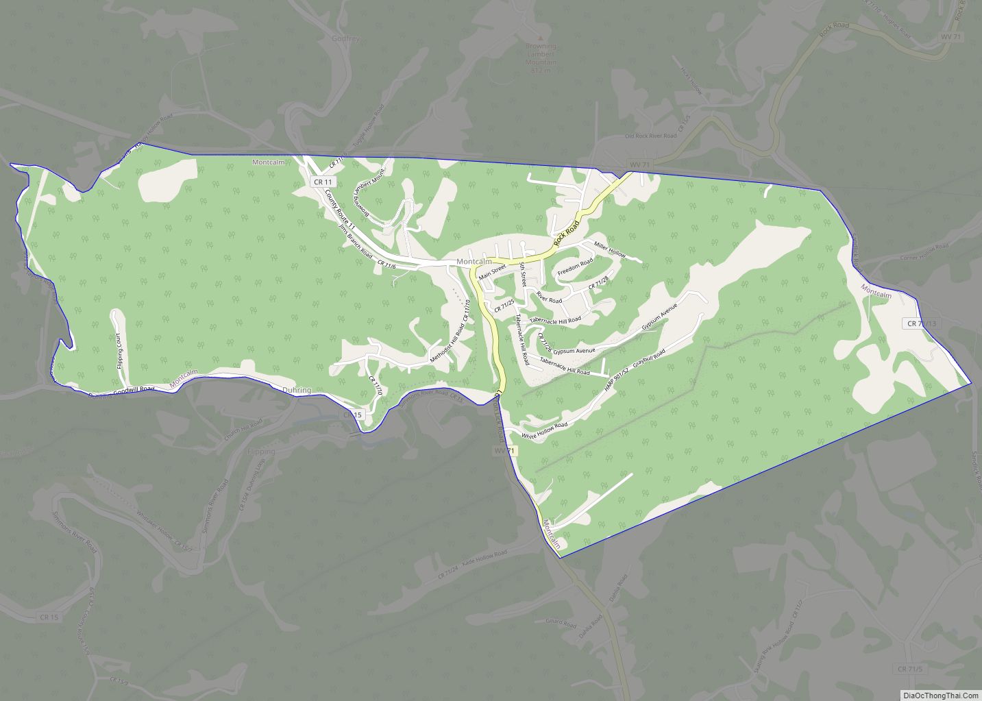
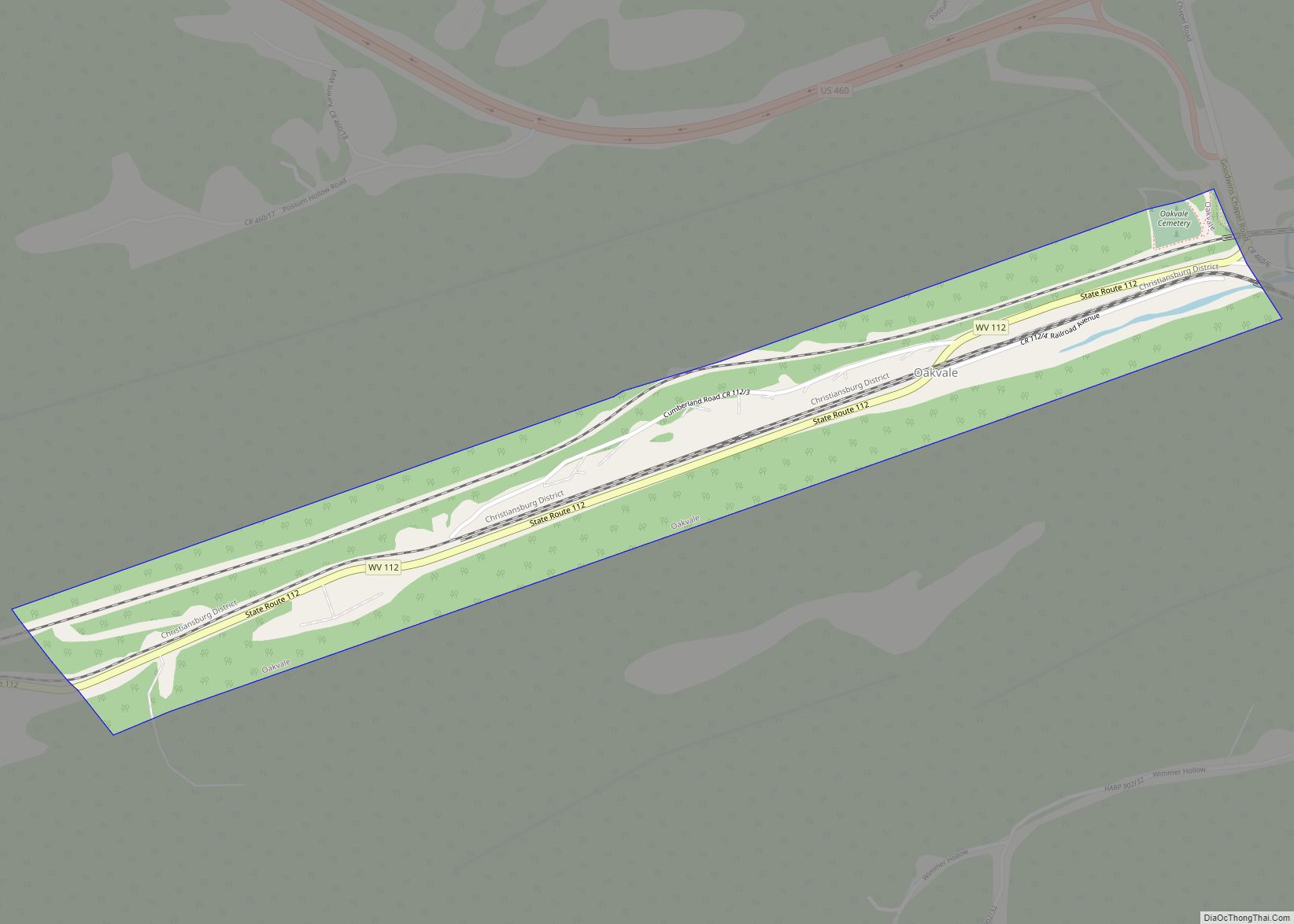
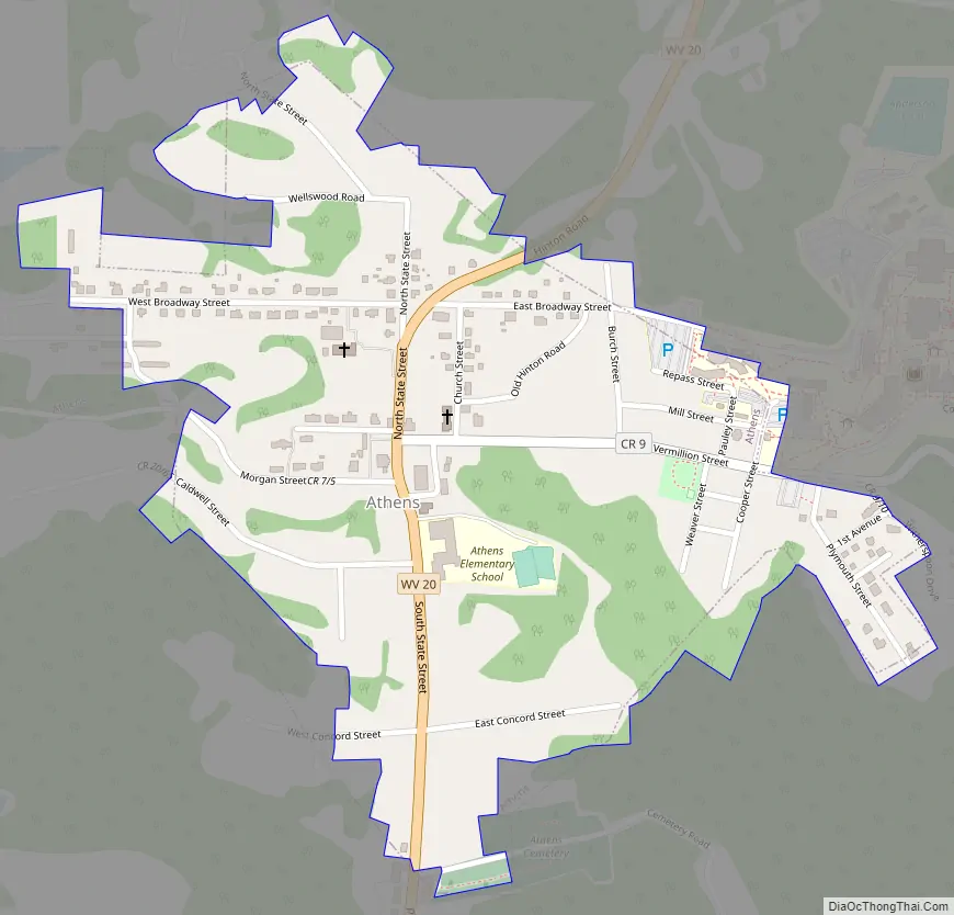
Athens Road Map
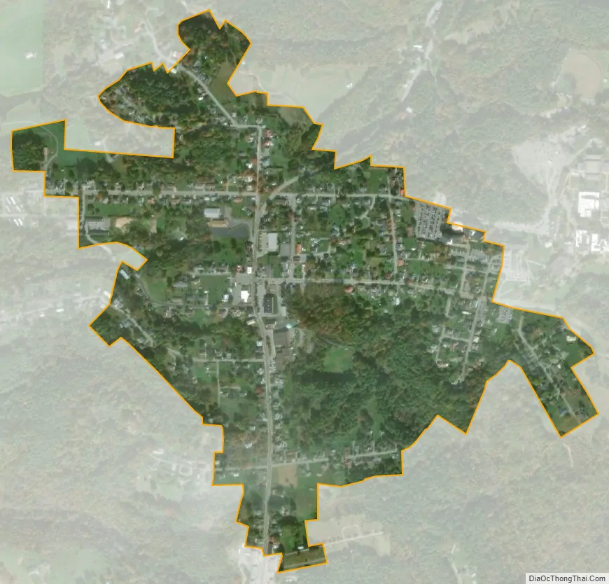
Athens city Satellite Map
Geography
Athens is located at 37°25′26″N 81°00′48″W / 37.423849°N 81.013363°W / 37.423849; -81.013363 (37.423849, -81.013363). The town is situated on a bluff above Laurel Creek, a tributary of the Bluestone River. The campus of Concord University lies at the eastern end of town. West Virginia Route 20 (State Street) traverses Athens, connecting the town with Princeton to the southwest and the rural towns along New River to the northeast.
According to the United States Census Bureau, the town has a total area of 0.39 square miles (1.01 km), all land.
See also
Map of West Virginia State and its subdivision:- Barbour
- Berkeley
- Boone
- Braxton
- Brooke
- Cabell
- Calhoun
- Clay
- Doddridge
- Fayette
- Gilmer
- Grant
- Greenbrier
- Hampshire
- Hancock
- Hardy
- Harrison
- Jackson
- Jefferson
- Kanawha
- Lewis
- Lincoln
- Logan
- Marion
- Marshall
- Mason
- McDowell
- Mercer
- Mineral
- Mingo
- Monongalia
- Monroe
- Morgan
- Nicholas
- Ohio
- Pendleton
- Pleasants
- Pocahontas
- Preston
- Putnam
- Raleigh
- Randolph
- Ritchie
- Roane
- Summers
- Taylor
- Tucker
- Tyler
- Upshur
- Wayne
- Webster
- Wetzel
- Wirt
- Wood
- Wyoming
- Alabama
- Alaska
- Arizona
- Arkansas
- California
- Colorado
- Connecticut
- Delaware
- District of Columbia
- Florida
- Georgia
- Hawaii
- Idaho
- Illinois
- Indiana
- Iowa
- Kansas
- Kentucky
- Louisiana
- Maine
- Maryland
- Massachusetts
- Michigan
- Minnesota
- Mississippi
- Missouri
- Montana
- Nebraska
- Nevada
- New Hampshire
- New Jersey
- New Mexico
- New York
- North Carolina
- North Dakota
- Ohio
- Oklahoma
- Oregon
- Pennsylvania
- Rhode Island
- South Carolina
- South Dakota
- Tennessee
- Texas
- Utah
- Vermont
- Virginia
- Washington
- West Virginia
- Wisconsin
- Wyoming