Moundsville is a city in and the county seat of Marshall County, West Virginia, United States, along the Ohio River. The population was 8,122 at the 2020 census. It is part of the Wheeling metropolitan area. The city was named for the nearby ancient Grave Creek Mound, constructed 250 to 100 BC by indigenous people of the Adena culture.
| Name: | Moundsville city |
|---|---|
| LSAD Code: | 25 |
| LSAD Description: | city (suffix) |
| State: | West Virginia |
| County: | Marshall County |
| Elevation: | 696 ft (212 m) |
| Total Area: | 3.36 sq mi (8.70 km²) |
| Land Area: | 2.91 sq mi (7.53 km²) |
| Water Area: | 0.45 sq mi (1.17 km²) |
| Total Population: | 8,122 |
| Population Density: | 2,400/sq mi (930/km²) |
| ZIP code: | 26041 |
| Area code: | 304 |
| FIPS code: | 5456020 |
| GNISfeature ID: | 1543607 |
| Website: | www.cityofmoundsville.com |
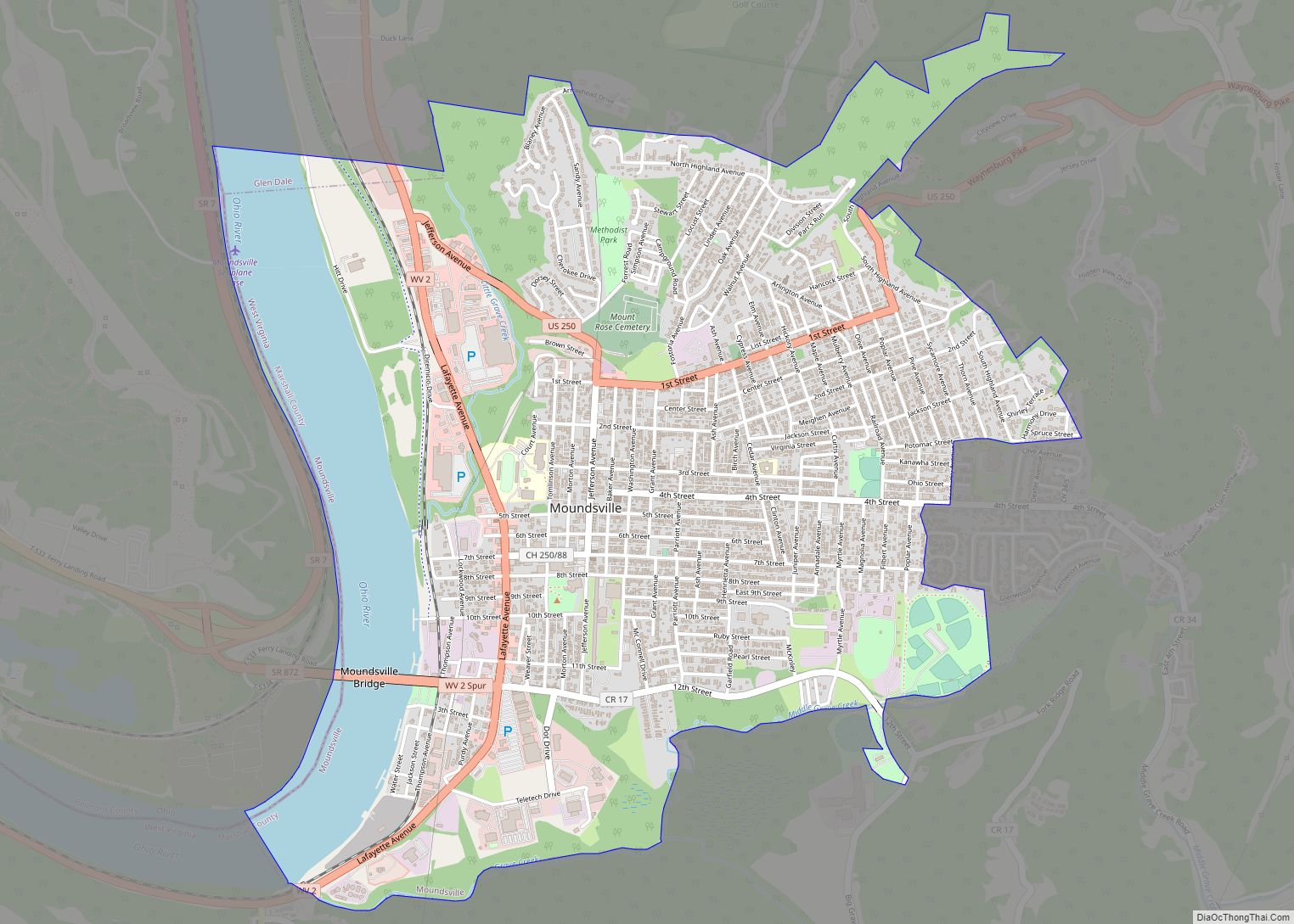
Online Interactive Map
Click on ![]() to view map in "full screen" mode.
to view map in "full screen" mode.
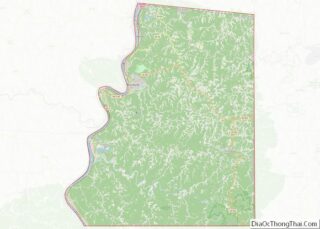
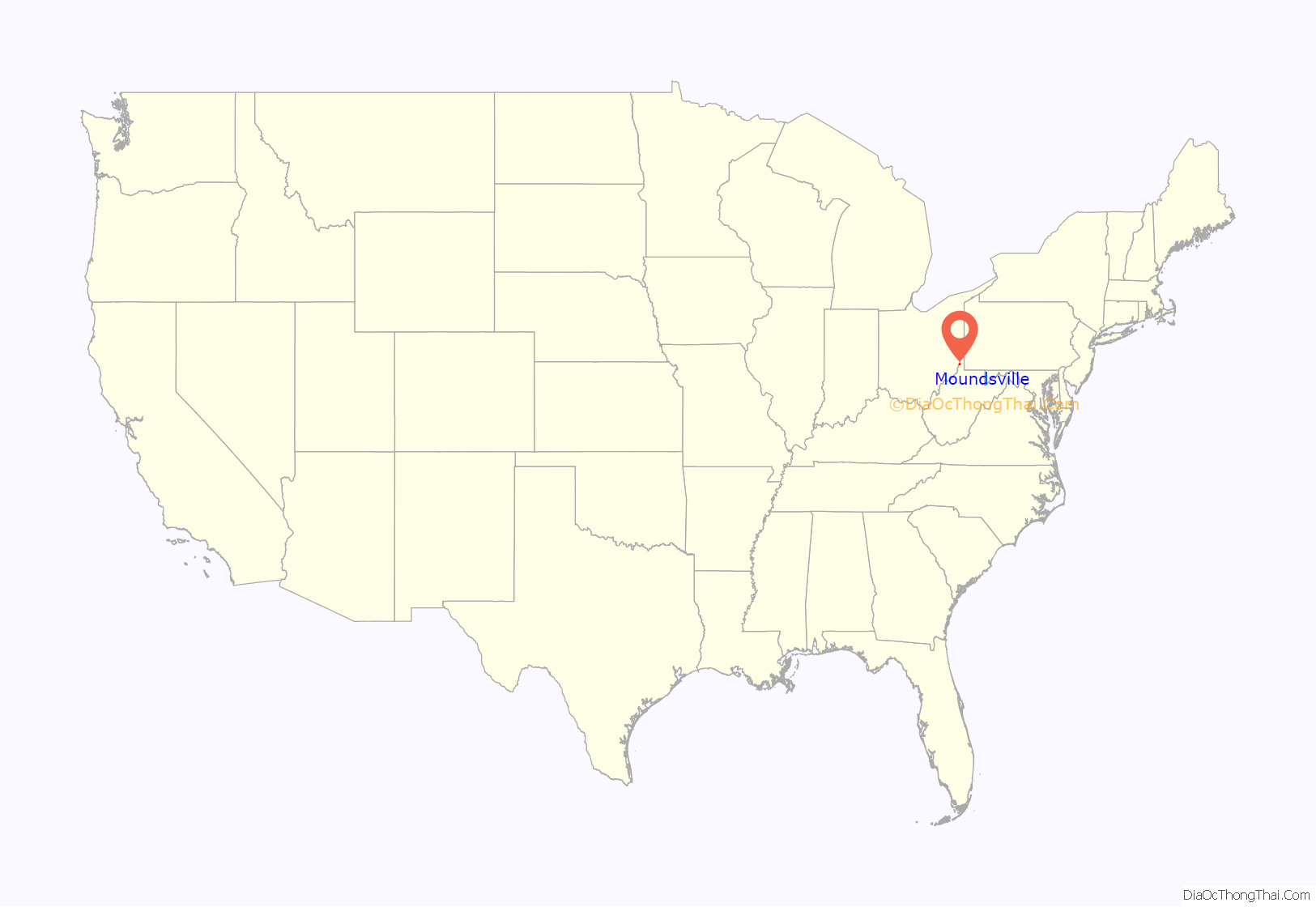
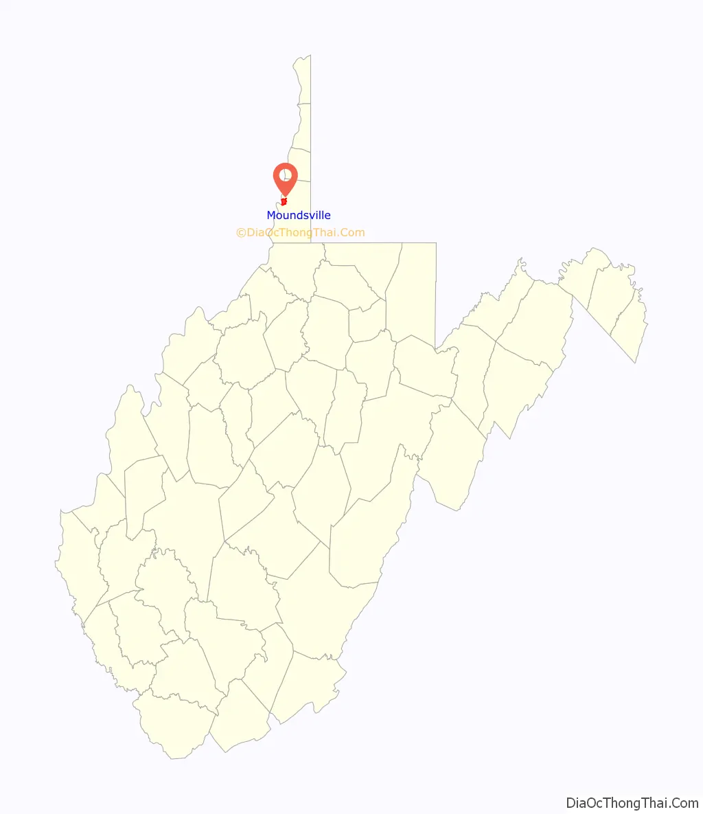
Moundsville location map. Where is Moundsville city?
History
In 1771, English colonists Samuel and James Tomlinson built a cabin at what later became Moundsville, although they did not overwinter, and in fact left for several years after attacks by Native Americans. Elizabethtown, as Tomlinson’s community was called, was incorporated in 1830 and would become the county seat upon the creation of Marshall County in 1835. Nearby, the town of Mound City was incorporated in 1832. The two towns combined in 1865. In 1852 a line of the Baltimore and Ohio Railroad opened, connecting the eastern rail network with the Ohio and Mississippi riverboat system; Moundsville was an important port until 1861, when the Civil War shut down the river system and caused major damage to the railroad. Fostoria Glass Company (specializing in hand-blown glassworks) was headquartered in Moundsville from 1891 to 1986. The retired West Virginia State Penitentiary operated in Moundsville from 1867 to 1995. On August 4, 1927, Charles Lindbergh landed The Spirit of St. Louis at Langin Field in Moundsville.
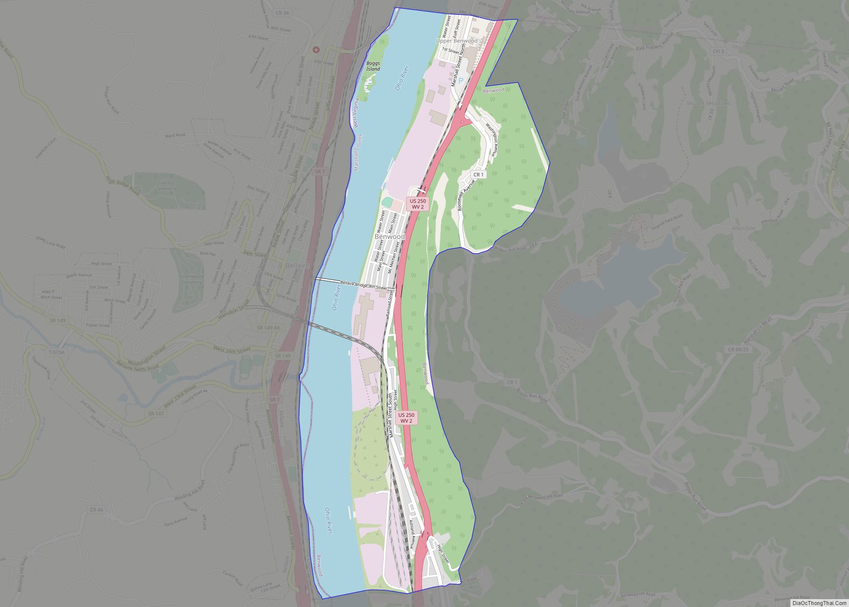
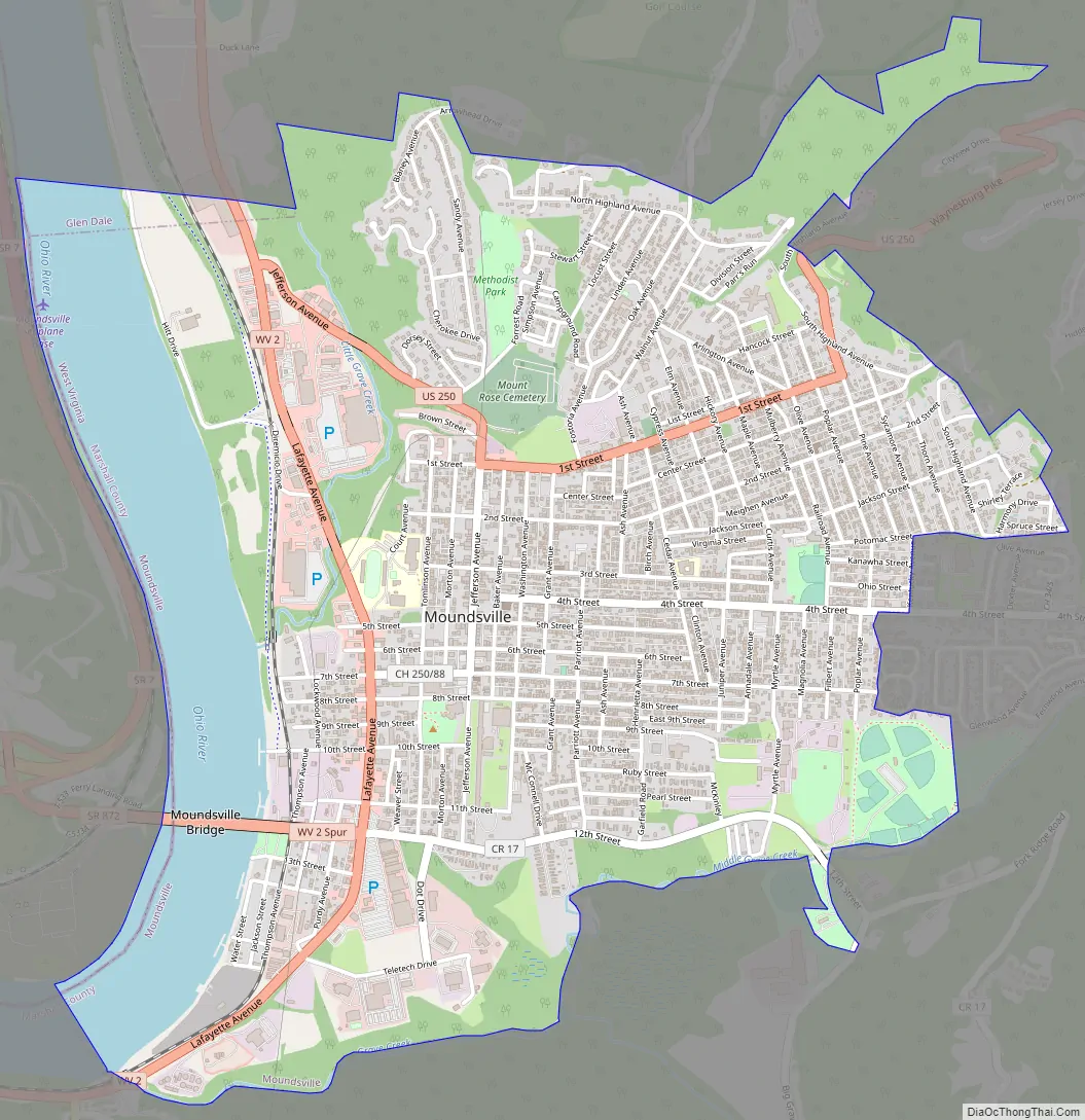
Moundsville Road Map
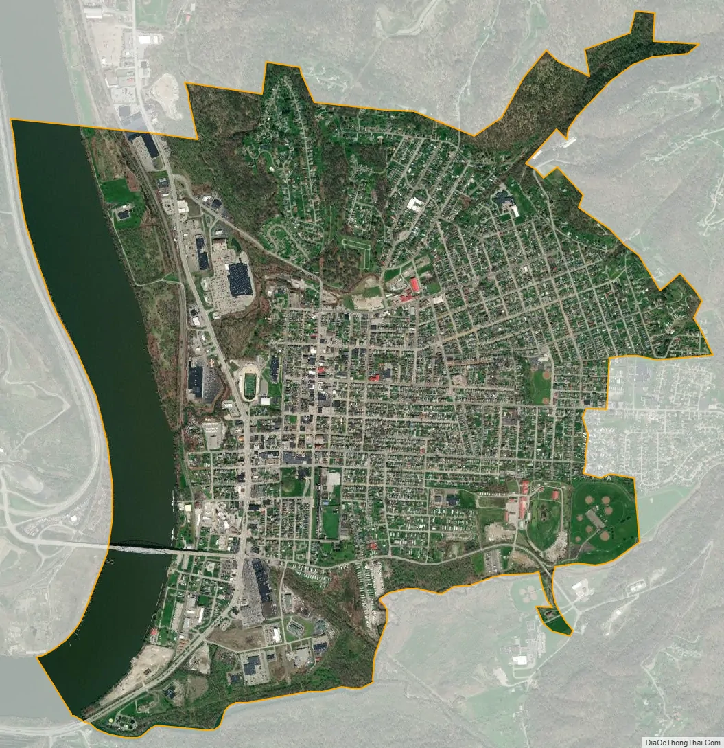
Moundsville city Satellite Map
Geography
According to the United States Census Bureau, the city has a total area of 3.36 square miles (8.70 km), of which 2.91 square miles (7.54 km) is land and 0.45 square miles (1.17 km) is water.
Climate
The climate in this area is characterized by relatively high temperatures and evenly distributed precipitation throughout the year. According to the Köppen Climate Classification system, Moundsville has a Humid subtropical climate, abbreviated “Cfa” on climate maps.
See also
Map of West Virginia State and its subdivision:- Barbour
- Berkeley
- Boone
- Braxton
- Brooke
- Cabell
- Calhoun
- Clay
- Doddridge
- Fayette
- Gilmer
- Grant
- Greenbrier
- Hampshire
- Hancock
- Hardy
- Harrison
- Jackson
- Jefferson
- Kanawha
- Lewis
- Lincoln
- Logan
- Marion
- Marshall
- Mason
- McDowell
- Mercer
- Mineral
- Mingo
- Monongalia
- Monroe
- Morgan
- Nicholas
- Ohio
- Pendleton
- Pleasants
- Pocahontas
- Preston
- Putnam
- Raleigh
- Randolph
- Ritchie
- Roane
- Summers
- Taylor
- Tucker
- Tyler
- Upshur
- Wayne
- Webster
- Wetzel
- Wirt
- Wood
- Wyoming
- Alabama
- Alaska
- Arizona
- Arkansas
- California
- Colorado
- Connecticut
- Delaware
- District of Columbia
- Florida
- Georgia
- Hawaii
- Idaho
- Illinois
- Indiana
- Iowa
- Kansas
- Kentucky
- Louisiana
- Maine
- Maryland
- Massachusetts
- Michigan
- Minnesota
- Mississippi
- Missouri
- Montana
- Nebraska
- Nevada
- New Hampshire
- New Jersey
- New Mexico
- New York
- North Carolina
- North Dakota
- Ohio
- Oklahoma
- Oregon
- Pennsylvania
- Rhode Island
- South Carolina
- South Dakota
- Tennessee
- Texas
- Utah
- Vermont
- Virginia
- Washington
- West Virginia
- Wisconsin
- Wyoming