Glen Dale is a city in Marshall County, West Virginia, United States, along the Ohio River. It is part of the Wheeling, West Virginia Metropolitan Statistical Area. The population was 1,514 at the 2020 census. Glen Dale was incorporated in 1924. It is in the northwest part of the county, which is above the Mason–Dixon line and forms the base of the Northern Panhandle of West Virginia.
| Name: | Glen Dale city |
|---|---|
| LSAD Code: | 25 |
| LSAD Description: | city (suffix) |
| State: | West Virginia |
| County: | Marshall County |
| Elevation: | 692 ft (211 m) |
| Total Area: | 1.20 sq mi (3.11 km²) |
| Land Area: | 0.85 sq mi (2.20 km²) |
| Water Area: | 0.35 sq mi (0.91 km²) |
| Total Population: | 1,514 |
| Population Density: | 1,612.94/sq mi (622.89/km²) |
| ZIP code: | 26038 |
| Area code: | 304/681 |
| FIPS code: | 5431492 |
| GNISfeature ID: | 1560592 |
| Website: | www.cityofglendalewv.com |
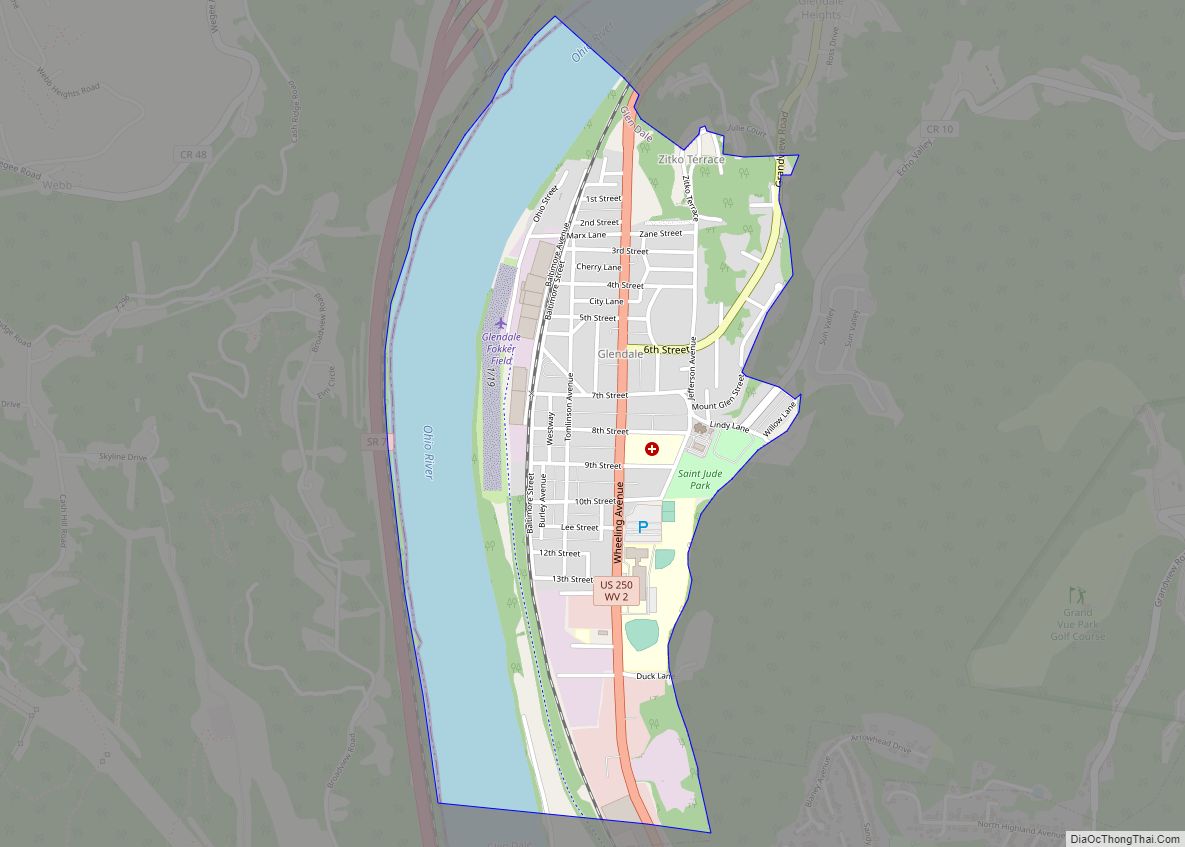
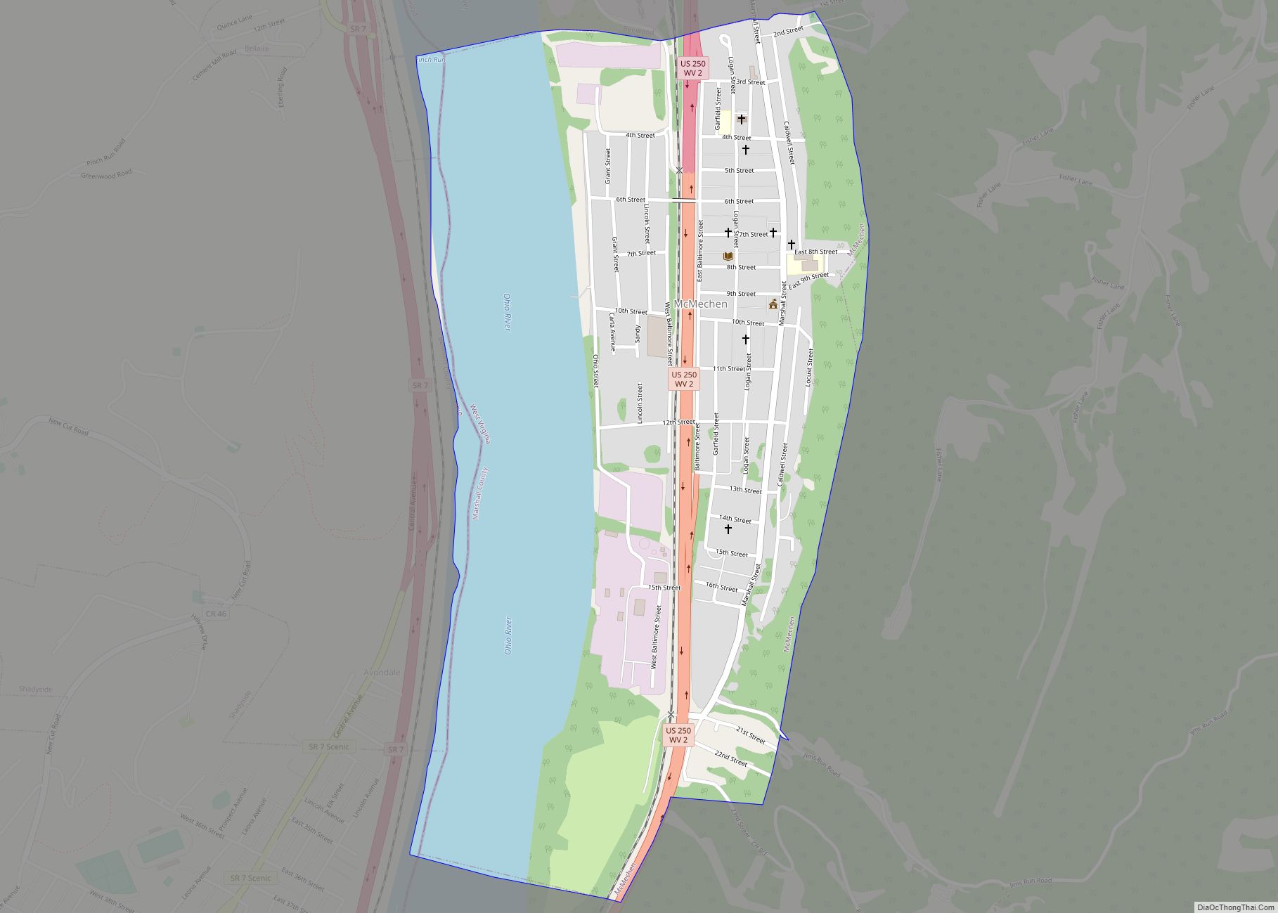
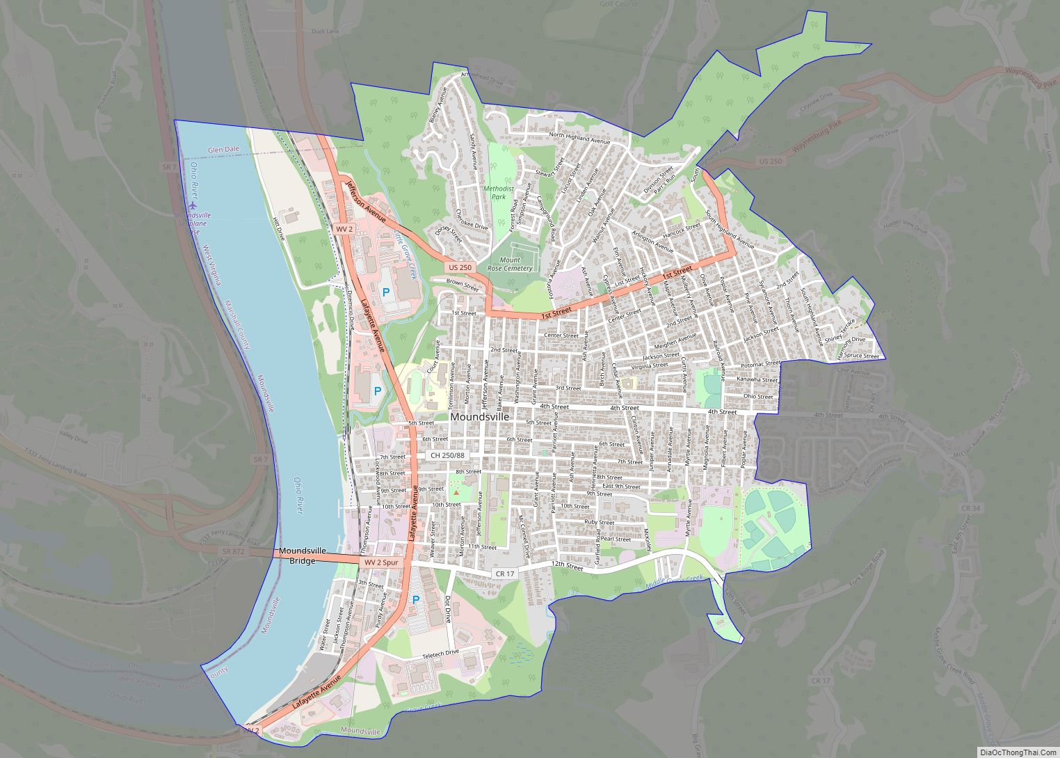
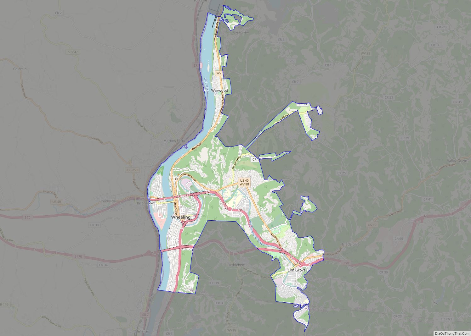
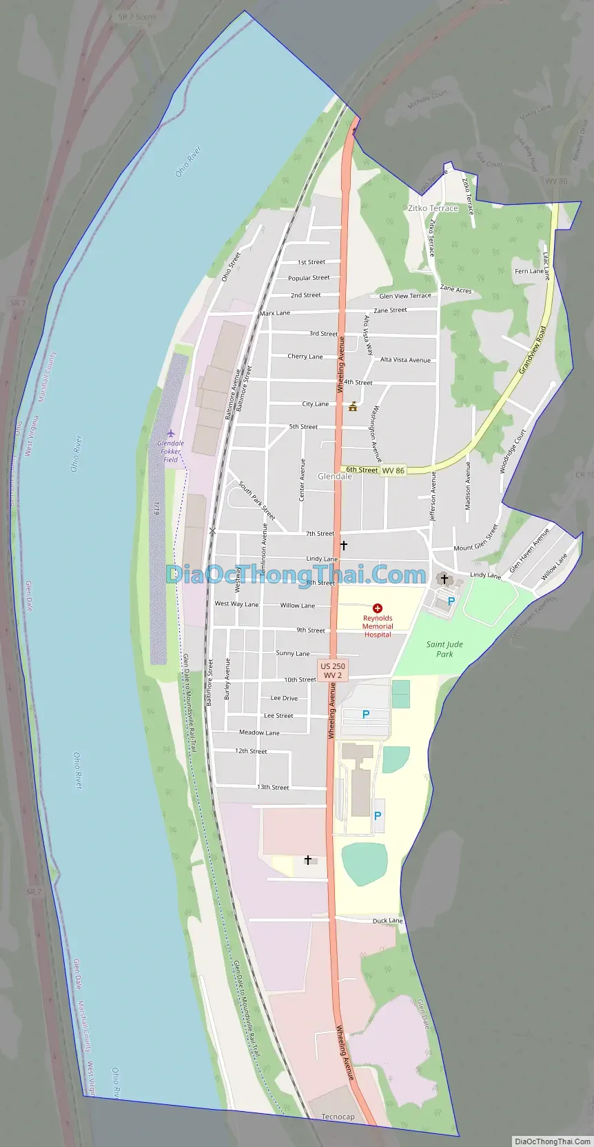
Online Interactive Map
Click on ![]() to view map in "full screen" mode.
to view map in "full screen" mode.
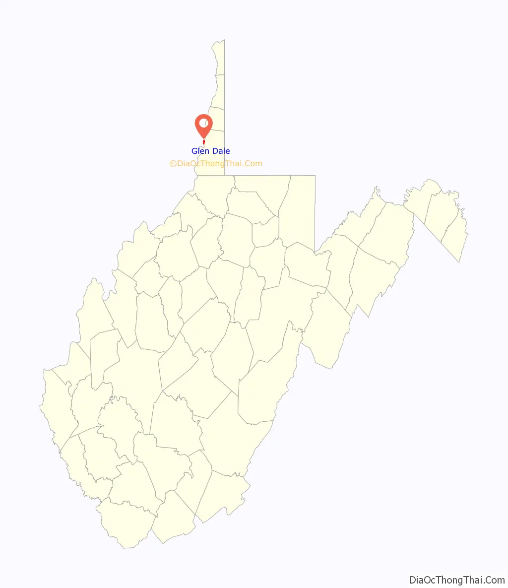
Glen Dale location map. Where is Glen Dale city?

History
The community was named after Glendale, the farm of a local family.
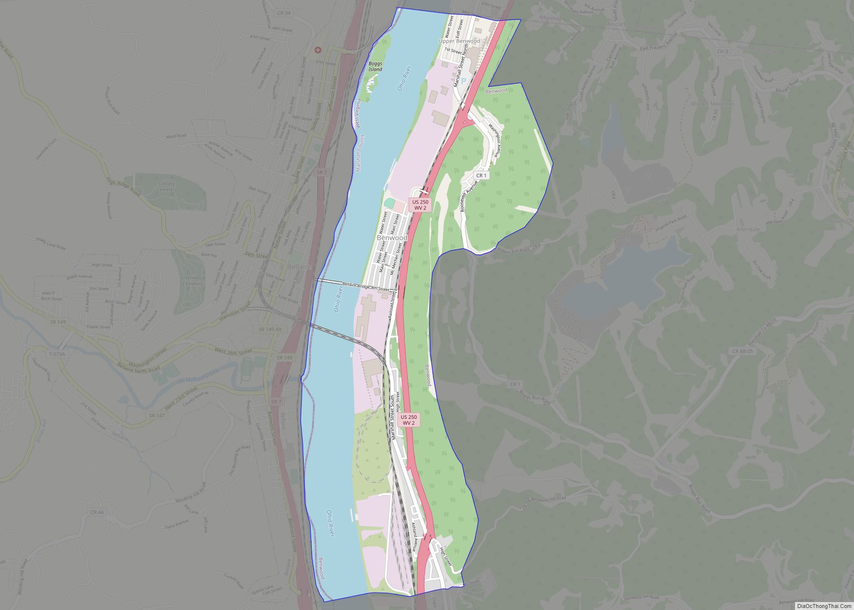
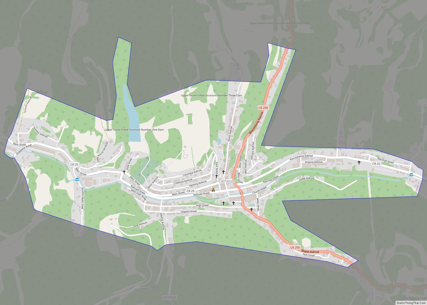
Glen Dale Road Map
Glen Dale city Satellite Map

Geography
Glen Dale is located at 39°56′55″N 80°45′18″W / 39.94861°N 80.75500°W / 39.94861; -80.75500 (39.948594, -80.754922).
According to the United States Census Bureau, the city has a total area of 1.20 square miles (3.11 km), of which 0.85 square miles (2.20 km) is land and 0.35 square miles (0.91 km) is water.
See also
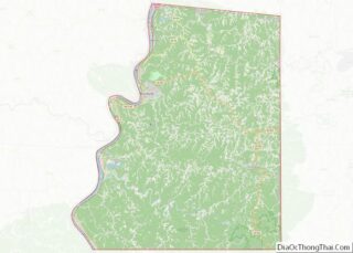
Map of West Virginia State and its subdivision:- Barbour
- Berkeley
- Boone
- Braxton
- Brooke
- Cabell
- Calhoun
- Clay
- Doddridge
- Fayette
- Gilmer
- Grant
- Greenbrier
- Hampshire
- Hancock
- Hardy
- Harrison
- Jackson
- Jefferson
- Kanawha
- Lewis
- Lincoln
- Logan
- Marion
- Marshall
- Mason
- McDowell
- Mercer
- Mineral
- Mingo
- Monongalia
- Monroe
- Morgan
- Nicholas
- Ohio
- Pendleton
- Pleasants
- Pocahontas
- Preston
- Putnam
- Raleigh
- Randolph
- Ritchie
- Roane
- Summers
- Taylor
- Tucker
- Tyler
- Upshur
- Wayne
- Webster
- Wetzel
- Wirt
- Wood
- Wyoming
- Alabama
- Alaska
- Arizona
- Arkansas
- California
- Colorado
- Connecticut
- Delaware
- District of Columbia
- Florida
- Georgia
- Hawaii
- Idaho
- Illinois
- Indiana
- Iowa
- Kansas
- Kentucky
- Louisiana
- Maine
- Maryland
- Massachusetts
- Michigan
- Minnesota
- Mississippi
- Missouri
- Montana
- Nebraska
- Nevada
- New Hampshire
- New Jersey
- New Mexico
- New York
- North Carolina
- North Dakota
- Ohio
- Oklahoma
- Oregon
- Pennsylvania
- Rhode Island
- South Carolina
- South Dakota
- Tennessee
- Texas
- Utah
- Vermont
- Virginia
- Washington
- West Virginia
- Wisconsin
- Wyoming