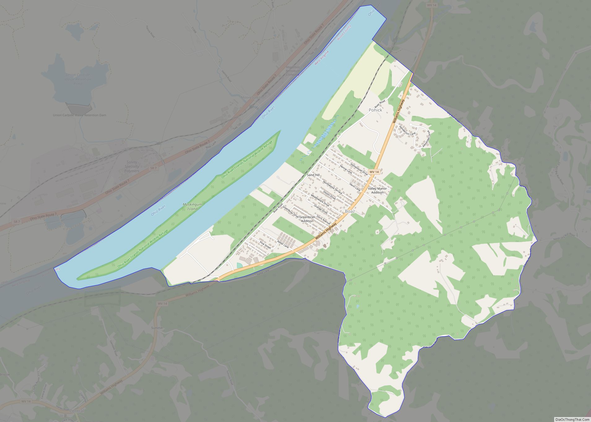
Boaz is a census-designated place (CDP) in Wood County, West Virginia, United States. It is part of the Parkersburg–Marietta–Vienna, WV-OH Metropolitan Statistical Area. As of the 2020 census, the CDP population was 1,321.
The community was named in 1878 by the United States Post Office Department, which selected from three names suggested by a resident named William Johnson: “Johnson,” “Ruth,” and “Boaz.”
| Name: | Boaz CDP |
|---|---|
| LSAD Code: | 57 |
| LSAD Description: | CDP (suffix) |
| State: | West Virginia |
| County: | Wood County |
| Elevation: | 650 ft (198 m) |
| Total Area: | 4.5 sq mi (11.7 km²) |
| Land Area: | 3.7 sq mi (9.6 km²) |
| Water Area: | 0.8 sq mi (2.1 km²) |
| Total Population: | 1,321 |
| Population Density: | 290/sq mi (110/km²) |
| Area code: | 304 |
| FIPS code: | 5408836 |
| GNISfeature ID: | 1553944 |
Online Interactive Map
Click on ![]() to view map in "full screen" mode.
to view map in "full screen" mode.
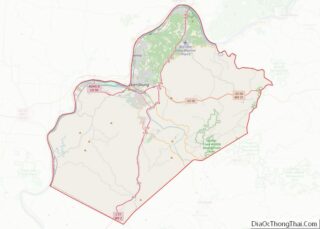
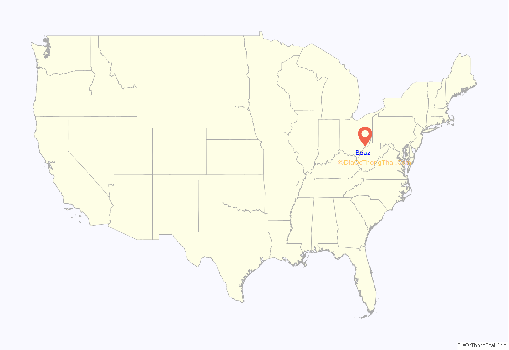
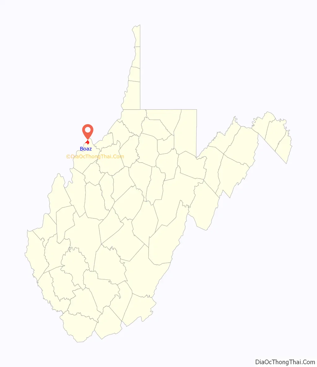
Boaz location map. Where is Boaz CDP?
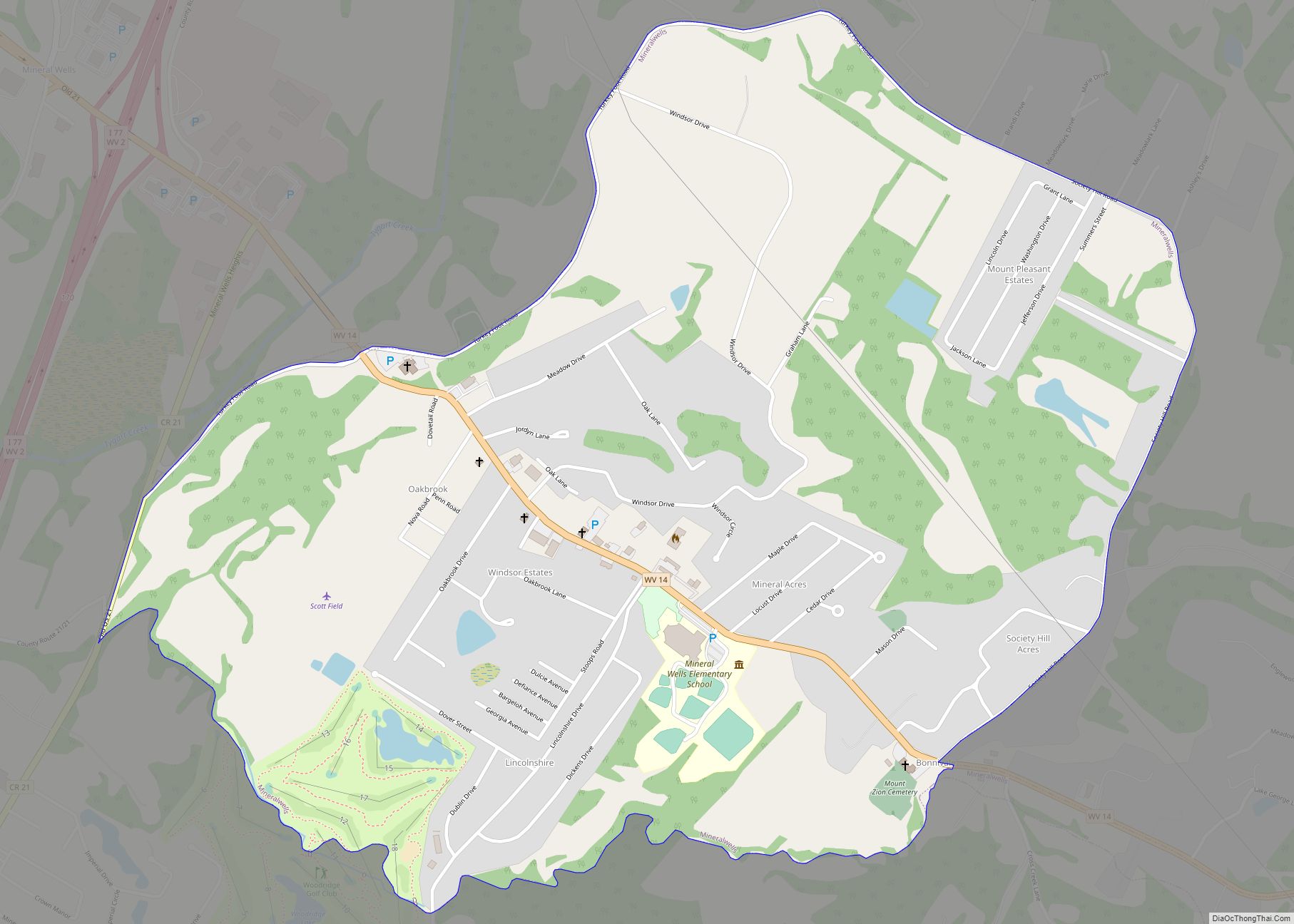
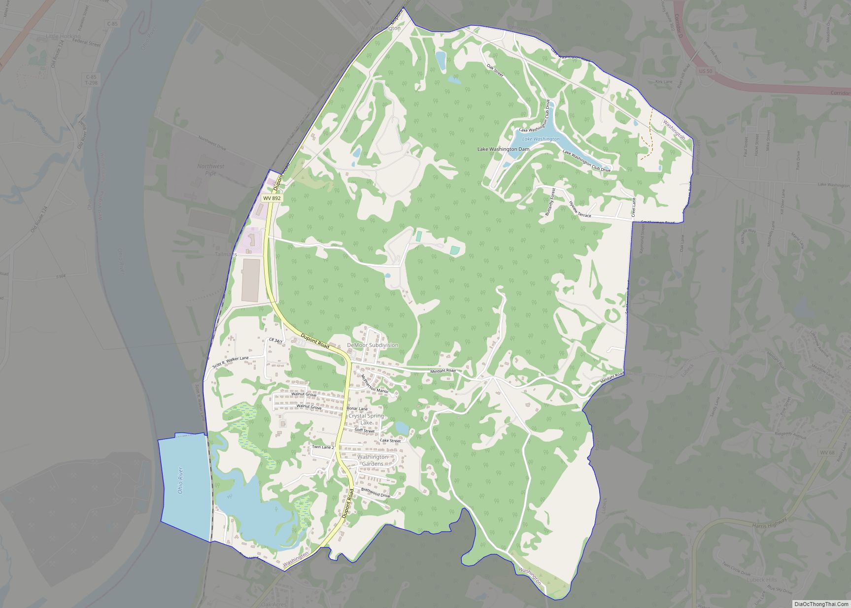
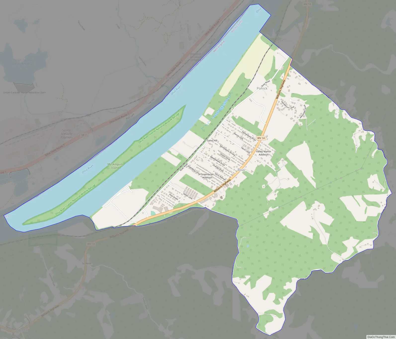
Boaz Road Map
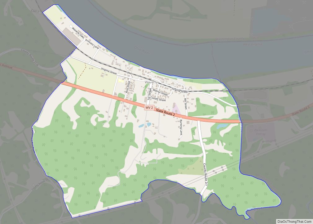
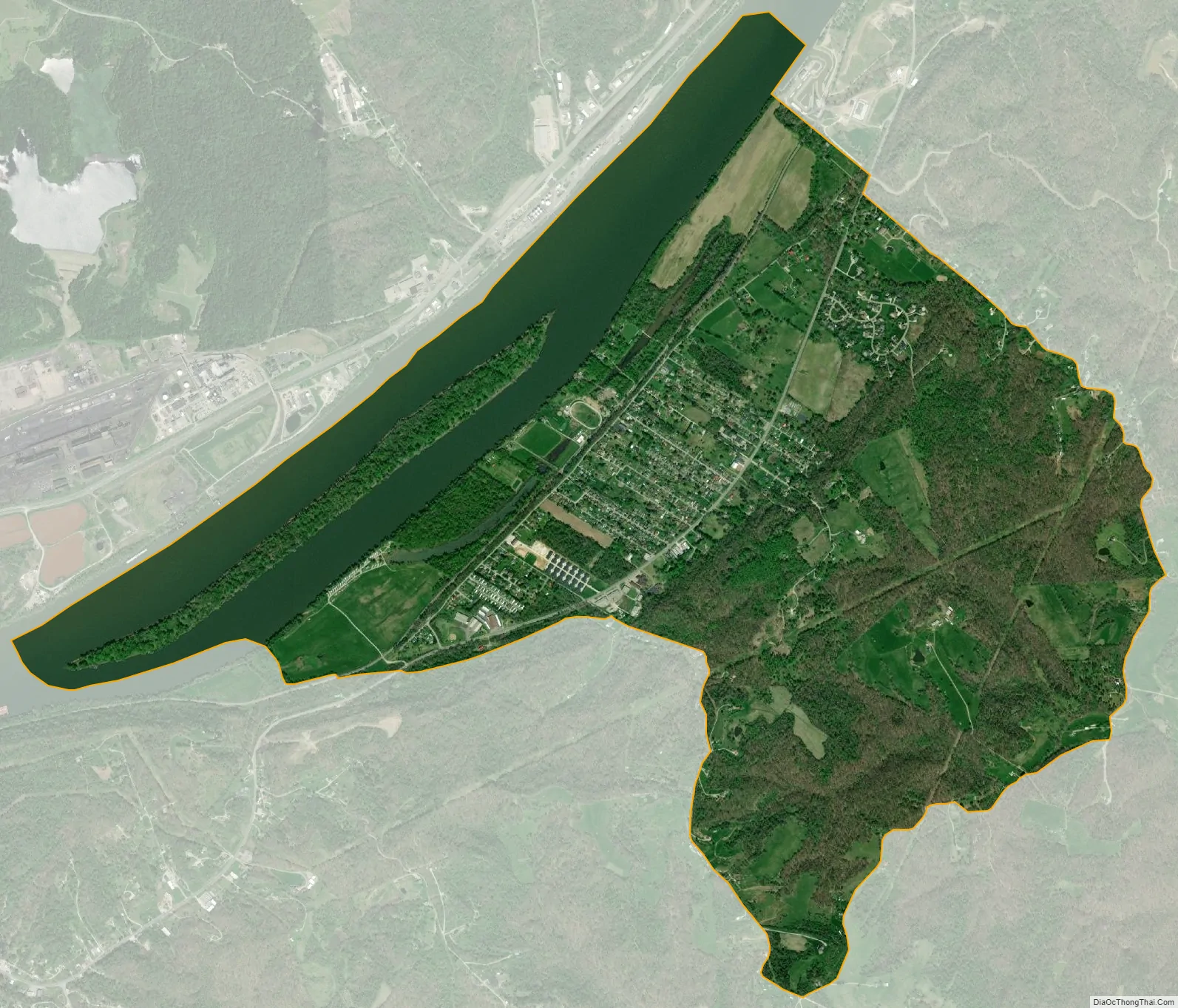
Boaz city Satellite Map
Geography
Boaz is located at 39°22′5″N 81°29′24″W / 39.36806°N 81.49000°W / 39.36806; -81.49000 (39.368194, -81.490045), along the Ohio River.
According to the United States Census Bureau, the CDP has a total area of 4.5 square miles (11.7 km), of which 3.7 square miles (9.6 km) is land and 0.8 square mile (2.1 km) (18.10%) is water. Boaz is bordered to the north on WV Route 14 by Williamstown, WV. The CDP is approximately 9 miles north of Parkersburg, WV.
Boaz has several unknown Indian mounds that have been protected by the residents of Boaz since they were discovered in 1895. These mounds have yet to be excavated.
See also
Map of West Virginia State and its subdivision:- Barbour
- Berkeley
- Boone
- Braxton
- Brooke
- Cabell
- Calhoun
- Clay
- Doddridge
- Fayette
- Gilmer
- Grant
- Greenbrier
- Hampshire
- Hancock
- Hardy
- Harrison
- Jackson
- Jefferson
- Kanawha
- Lewis
- Lincoln
- Logan
- Marion
- Marshall
- Mason
- McDowell
- Mercer
- Mineral
- Mingo
- Monongalia
- Monroe
- Morgan
- Nicholas
- Ohio
- Pendleton
- Pleasants
- Pocahontas
- Preston
- Putnam
- Raleigh
- Randolph
- Ritchie
- Roane
- Summers
- Taylor
- Tucker
- Tyler
- Upshur
- Wayne
- Webster
- Wetzel
- Wirt
- Wood
- Wyoming
- Alabama
- Alaska
- Arizona
- Arkansas
- California
- Colorado
- Connecticut
- Delaware
- District of Columbia
- Florida
- Georgia
- Hawaii
- Idaho
- Illinois
- Indiana
- Iowa
- Kansas
- Kentucky
- Louisiana
- Maine
- Maryland
- Massachusetts
- Michigan
- Minnesota
- Mississippi
- Missouri
- Montana
- Nebraska
- Nevada
- New Hampshire
- New Jersey
- New Mexico
- New York
- North Carolina
- North Dakota
- Ohio
- Oklahoma
- Oregon
- Pennsylvania
- Rhode Island
- South Carolina
- South Dakota
- Tennessee
- Texas
- Utah
- Vermont
- Virginia
- Washington
- West Virginia
- Wisconsin
- Wyoming