Chapmanville is a town in Logan County, West Virginia, United States. The population was 1,025 at the 2020 census. Chapmanville is named for Ned Chapman, an early settler who operated a store and post office. It was incorporated in 1947.
| Name: | Chapmanville town |
|---|---|
| LSAD Code: | 43 |
| LSAD Description: | town (suffix) |
| State: | West Virginia |
| County: | Logan County |
| Elevation: | 640 ft (195 m) |
| Total Area: | 0.68 sq mi (1.76 km²) |
| Land Area: | 0.66 sq mi (1.70 km²) |
| Water Area: | 0.02 sq mi (0.06 km²) |
| Total Population: | 1,025 |
| Population Density: | 1,665.14/sq mi (642.93/km²) |
| ZIP code: | 25508 |
| Area code: | 304 & 681 |
| FIPS code: | 5414524 |
| GNISfeature ID: | 1537207 |
| Website: | https://townofchapmanville.com |
Online Interactive Map
Click on ![]() to view map in "full screen" mode.
to view map in "full screen" mode.
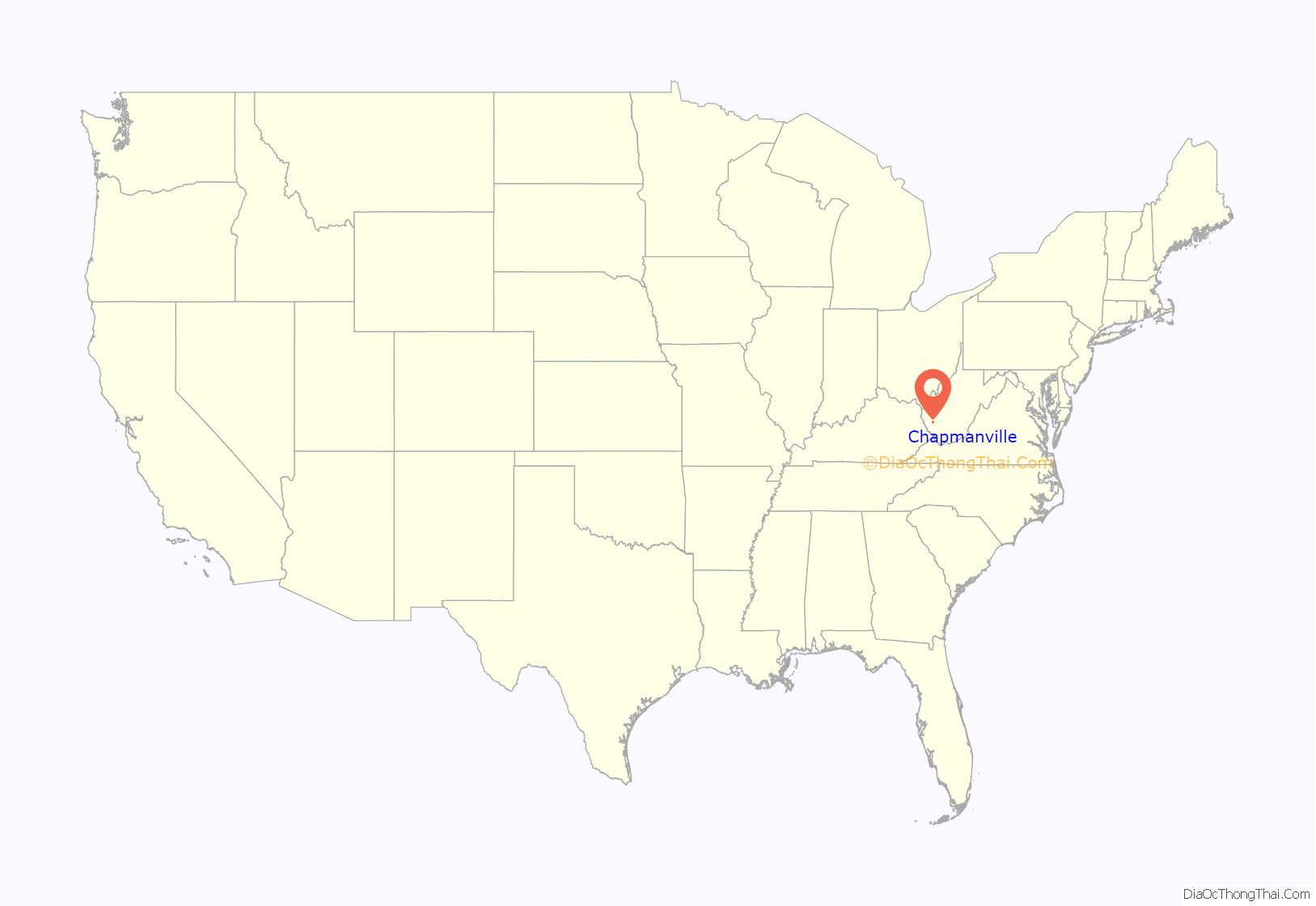
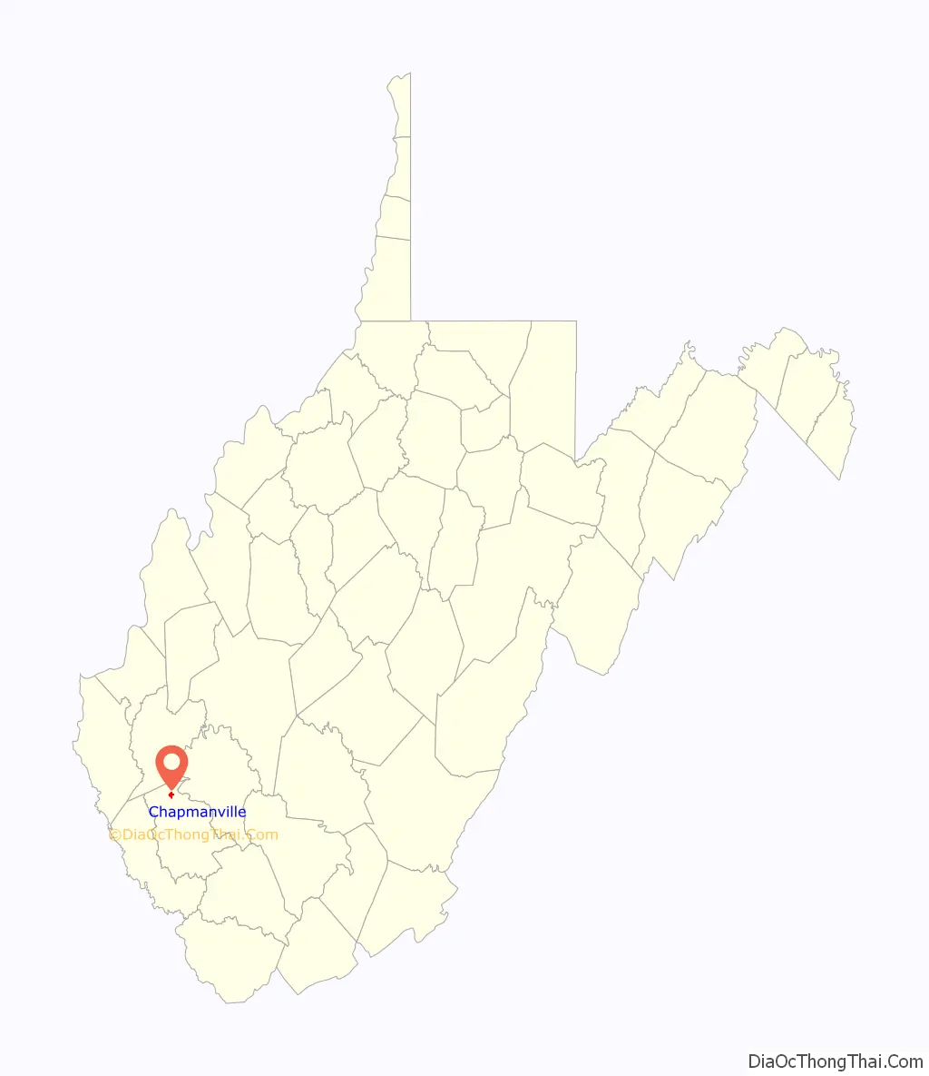
Chapmanville location map. Where is Chapmanville town?
History
Captain Farley’s Raid
Captain Henry Farley, a veteran of the Revolutionary War and resident of Montgomery County, Virginia, was the first known Anglo visitor to present-day Chapmanville. In June 1792, Captain Farley passed through the area while pursuing a Native American war party that had raided Virginia settlements at Bluestone River. By the time he reached what is today Chapmanville, he and his group had already engaged the retreating natives in the headwaters of Coal River and in the Guyandotte River valley some two miles below what is today Logan. Farley pursued the natives to the mouth of the Guyandotte River before returning home.
Pioneer Settlers
Chapmanville was settled by the Chapman and Ferrell families. The following families were also important in its early history: Butcher, Conley, Dingess, Godby, and Stollings.
Civil War
During the American Civil War, Chapmanville residents overwhelmingly supported the Confederacy. The Battle of Kanawha Gap occurred at Chapmanville on September 25, 1861. A highway historical marker commemorates the battle. An irregular pro-Confederate unit called the Black-Striped Company operated in the vicinity throughout the war. A legend persists that a Union payroll of gold coins is buried on the west side of the river in Chapmanville.
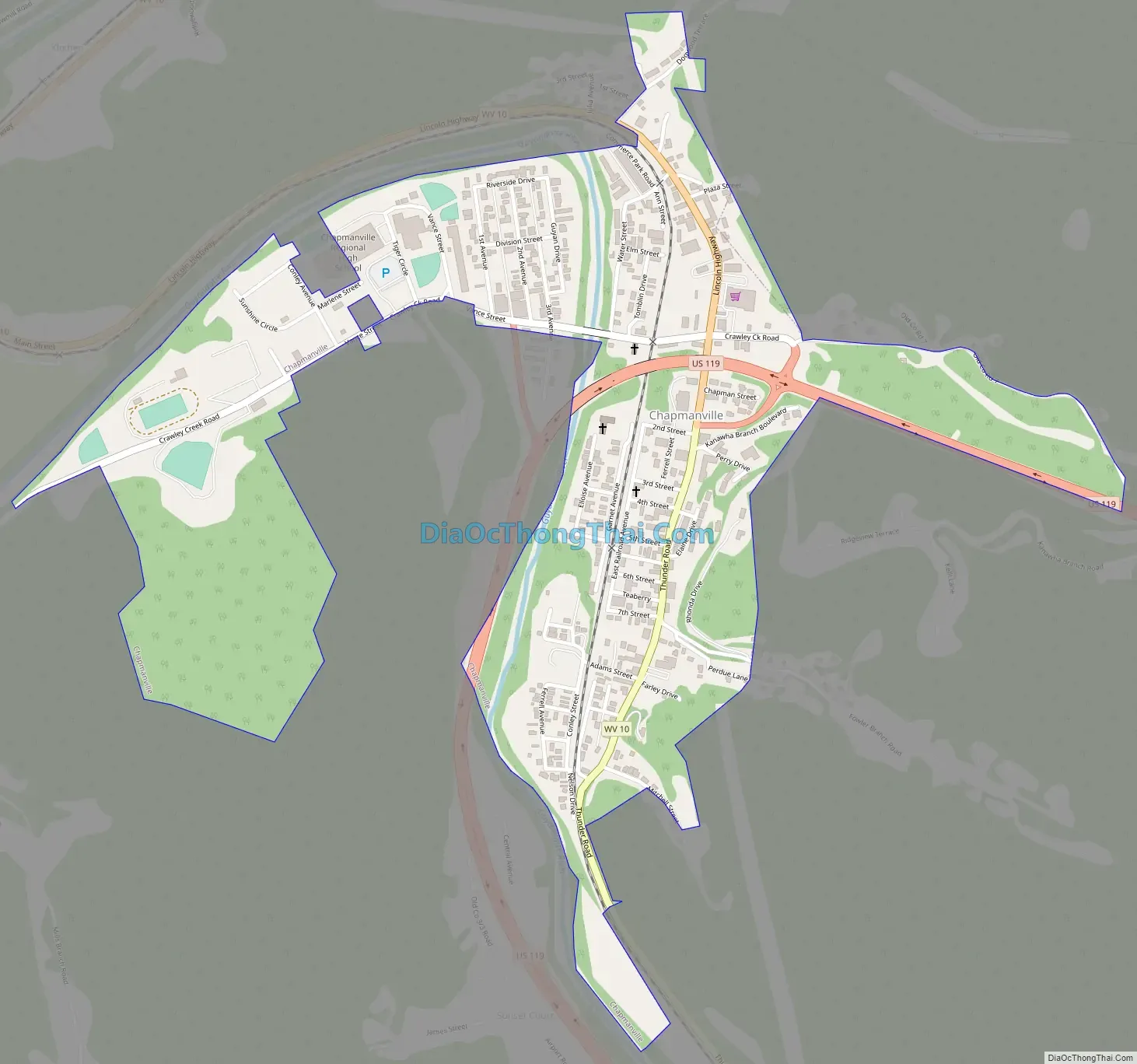
Chapmanville Road Map
Chapmanville city Satellite Map
Geography
Chapmanville is located in northern Logan County at 37°58′18″N 82°1′12″W / 37.97167°N 82.02000°W / 37.97167; -82.02000 (37.971615, -82.020017). It is situated between the mouth of Crawley Creek and Godby Branch along the Guyandotte River at a point where the northward-flowing river briefly bends sharply southwestwardly before turning north again.
U.S. Route 119 and West Virginia Route 10, both of which approach from Logan to the south, intersect in Chapmanville. From this intersection, WV 10 continues northward in the direction of Huntington, while US 119 veers northeastward toward Charleston.
According to the United States Census Bureau, the town has a total area of 0.67 square miles (1.74 km), of which 0.65 square miles (1.68 km) is land and 0.02 square miles (0.05 km) is water.
See also
Map of West Virginia State and its subdivision:- Barbour
- Berkeley
- Boone
- Braxton
- Brooke
- Cabell
- Calhoun
- Clay
- Doddridge
- Fayette
- Gilmer
- Grant
- Greenbrier
- Hampshire
- Hancock
- Hardy
- Harrison
- Jackson
- Jefferson
- Kanawha
- Lewis
- Lincoln
- Logan
- Marion
- Marshall
- Mason
- McDowell
- Mercer
- Mineral
- Mingo
- Monongalia
- Monroe
- Morgan
- Nicholas
- Ohio
- Pendleton
- Pleasants
- Pocahontas
- Preston
- Putnam
- Raleigh
- Randolph
- Ritchie
- Roane
- Summers
- Taylor
- Tucker
- Tyler
- Upshur
- Wayne
- Webster
- Wetzel
- Wirt
- Wood
- Wyoming
- Alabama
- Alaska
- Arizona
- Arkansas
- California
- Colorado
- Connecticut
- Delaware
- District of Columbia
- Florida
- Georgia
- Hawaii
- Idaho
- Illinois
- Indiana
- Iowa
- Kansas
- Kentucky
- Louisiana
- Maine
- Maryland
- Massachusetts
- Michigan
- Minnesota
- Mississippi
- Missouri
- Montana
- Nebraska
- Nevada
- New Hampshire
- New Jersey
- New Mexico
- New York
- North Carolina
- North Dakota
- Ohio
- Oklahoma
- Oregon
- Pennsylvania
- Rhode Island
- South Carolina
- South Dakota
- Tennessee
- Texas
- Utah
- Vermont
- Virginia
- Washington
- West Virginia
- Wisconsin
- Wyoming


