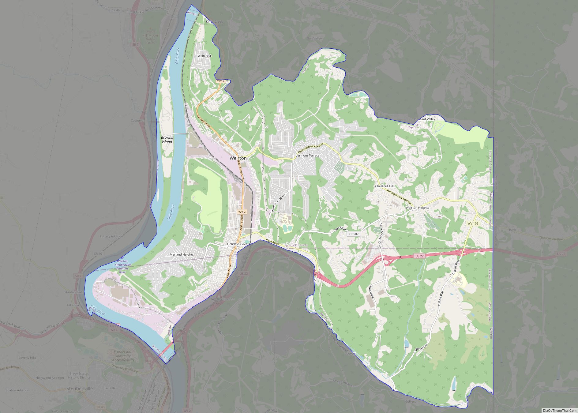
Chester is a city in northern Hancock County, West Virginia, United States, along the Ohio River. The population was 2,214 at the 2020 census. Located immediately south of Ohio and just west of Pennsylvania, Chester is the northernmost city in West Virginia. It is a part of the Weirton–Steubenville metropolitan area, and is home to the World’s Largest Teapot.
| Name: | Chester city |
|---|---|
| LSAD Code: | 25 |
| LSAD Description: | city (suffix) |
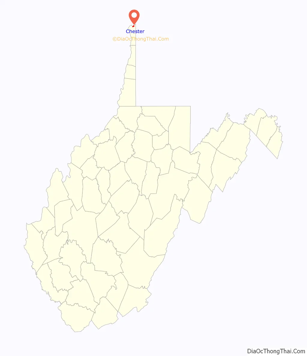
| State: | West Virginia |
| County: | Hancock County |
| Elevation: | 705 ft (215 m) |
| Total Area: | 1.00 sq mi (2.59 km²) |
| Land Area: | 1.00 sq mi (2.59 km²) |
| Water Area: | 0.00 sq mi (0.00 km²) |
| Total Population: | 2,214 |
| Population Density: | 2,371.37/sq mi (915.53/km²) |
| ZIP code: | 26034 |
| Area code: | 304, 681 |
| FIPS code: | 5415076 |
| GNISfeature ID: | 1537260 |
| Website: | http://chesterwv.org/ |
Online Interactive Map
Click on ![]() to view map in "full screen" mode.
to view map in "full screen" mode.
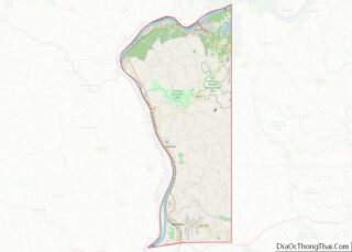
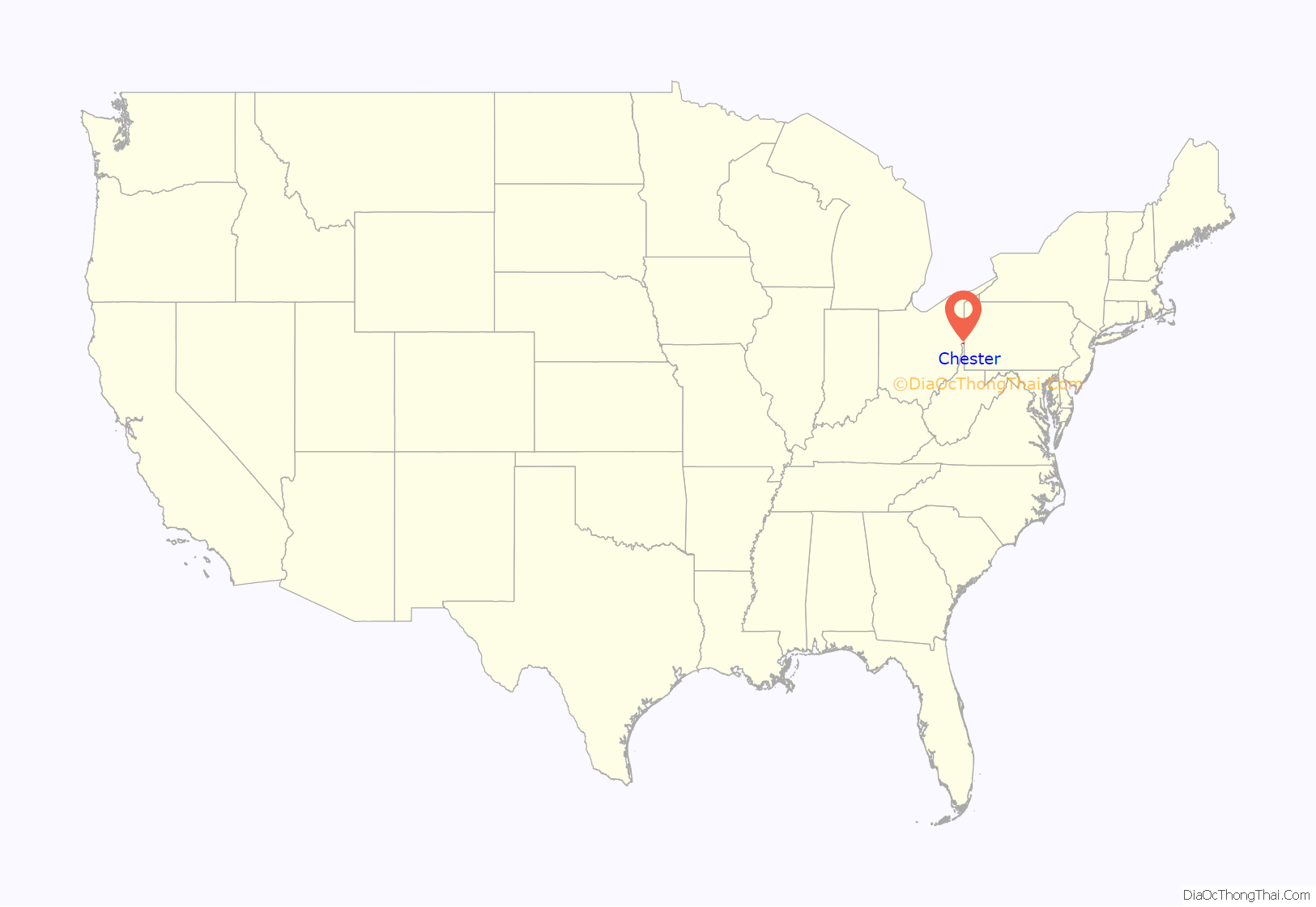
Chester location map. Where is Chester city?
History
Chester was established in 1896, but not incorporated until 1907. The town was established by East Liverpool, Ohio lawyer J.E. McDonald, and the name may be a transfer from Chester County, Pennsylvania or Chester, England, although its true origin is unknown. It was the home of Rock Springs Park, a small amusement park founded in 1897 by McDonald, home to various rides, a swimming pool, a lake, a small zoo, and live performances. It closed in 1970 for the expansion of U.S. Route 30 through the area.
The town grew in the early 20th century, led primarily by the pottery industry founded in nearby East Liverpool. The Taylor, Smith & Taylor Company was the leading manufacturer in Chester, employing over 800 people at one time. Another large employer was the steel manufacturing Chester Rolling Mill Company. The Chester teapot, the town’s main attraction, was purchased by Wilford Devon in 1938 and moved to Chester from Carnegie, Pennsylvania. It served as a barrel-shaped food stand with soft serve ice cream, hot dogs, and soft drinks until it was moved and remodeled to its current location in 1990 and has been featured in depictions of West Virginia, such as in the video game Fallout 76.
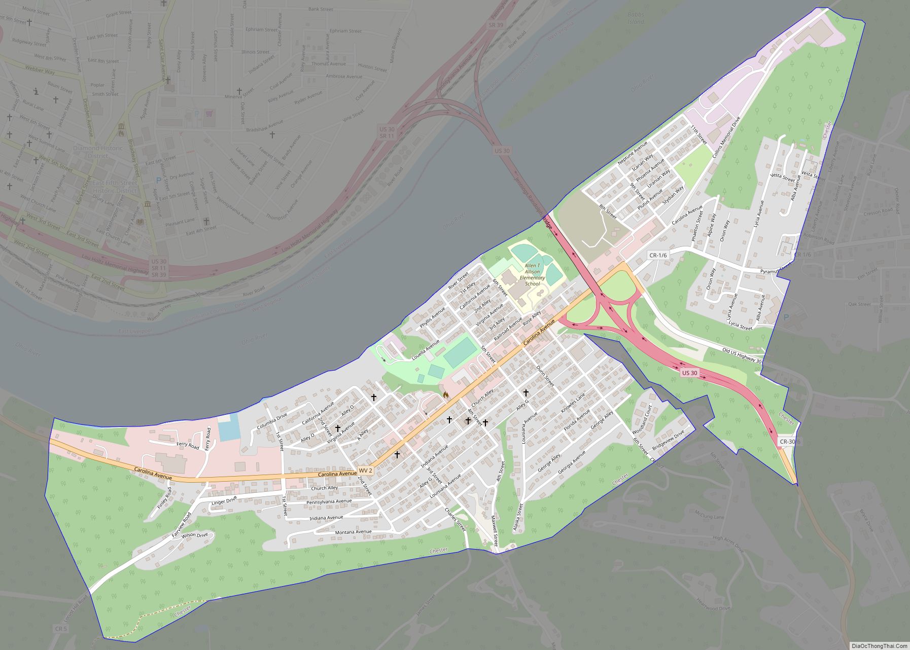
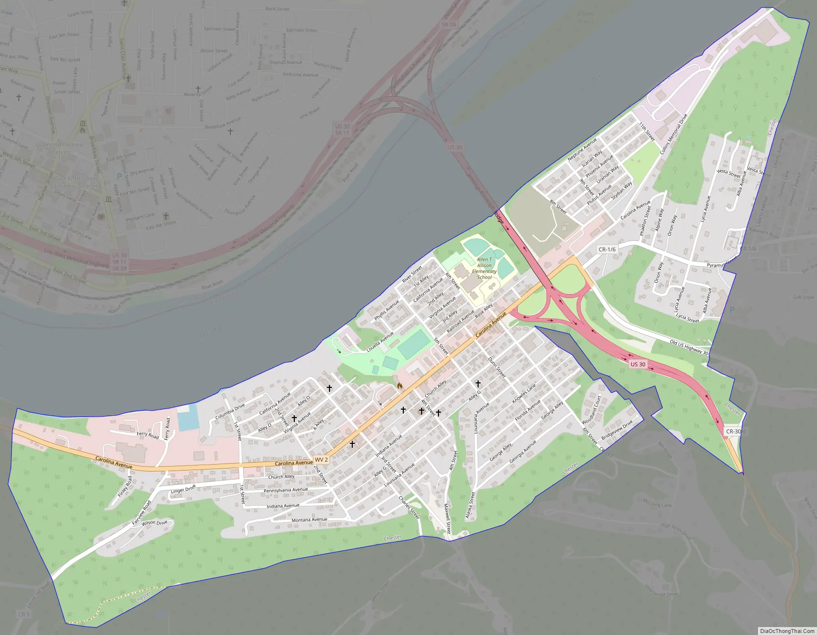
Chester Road Map
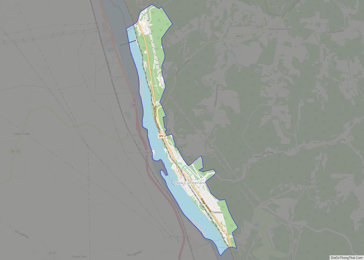
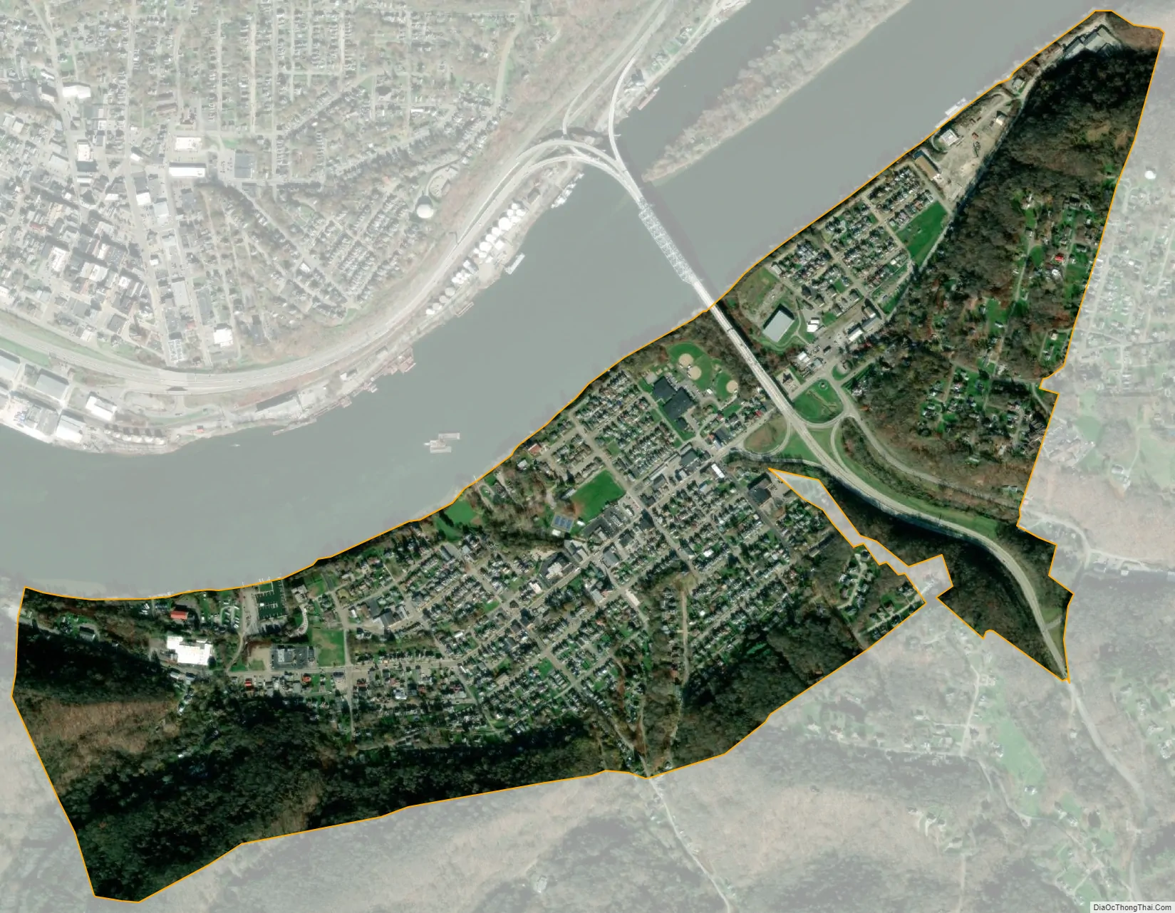
Chester city Satellite Map
Geography
Chester is located at 40°36′46″N 80°33′46″W / 40.61278°N 80.56278°W / 40.61278; -80.56278 (40.612792, -80.562771). At the outbreak of hostilities of the Civil War in April 1861, this location was part of Virginia and was the northernmost point in any slave state. Chester remains the northernmost point in the Southern United States, as defined by the United States Census Bureau.
The following highways pass through Chester:
- U.S. Route 30
- West Virginia Route 2
According to the United States Census Bureau, the city has a total area of 1.00 square mile (2.59 km), all land.
See also
Map of West Virginia State and its subdivision:- Barbour
- Berkeley
- Boone
- Braxton
- Brooke
- Cabell
- Calhoun
- Clay
- Doddridge
- Fayette
- Gilmer
- Grant
- Greenbrier
- Hampshire
- Hancock
- Hardy
- Harrison
- Jackson
- Jefferson
- Kanawha
- Lewis
- Lincoln
- Logan
- Marion
- Marshall
- Mason
- McDowell
- Mercer
- Mineral
- Mingo
- Monongalia
- Monroe
- Morgan
- Nicholas
- Ohio
- Pendleton
- Pleasants
- Pocahontas
- Preston
- Putnam
- Raleigh
- Randolph
- Ritchie
- Roane
- Summers
- Taylor
- Tucker
- Tyler
- Upshur
- Wayne
- Webster
- Wetzel
- Wirt
- Wood
- Wyoming
- Alabama
- Alaska
- Arizona
- Arkansas
- California
- Colorado
- Connecticut
- Delaware
- District of Columbia
- Florida
- Georgia
- Hawaii
- Idaho
- Illinois
- Indiana
- Iowa
- Kansas
- Kentucky
- Louisiana
- Maine
- Maryland
- Massachusetts
- Michigan
- Minnesota
- Mississippi
- Missouri
- Montana
- Nebraska
- Nevada
- New Hampshire
- New Jersey
- New Mexico
- New York
- North Carolina
- North Dakota
- Ohio
- Oklahoma
- Oregon
- Pennsylvania
- Rhode Island
- South Carolina
- South Dakota
- Tennessee
- Texas
- Utah
- Vermont
- Virginia
- Washington
- West Virginia
- Wisconsin
- Wyoming