Handley is a town in Kanawha County, West Virginia, United States. The population was 224 at the 2020 census. Handley was first established in 1877 and known as Upper Creek until July 29, 1881, when its name was changed to Handley for pioneer settlers who farmed the area. Handley has the distinction of bearing a name like no other town in the United States. The town was incorporated November 1972.
Handley is located in the Upper Kanawha Valley on the south side of the Kanawha River on West Virginia Route 61, along the Chesapeake & Ohio Railways (Now CSX Transportation). Railroad yards moved here from nearby Montgomery in 1899. Trains and barges hauled coal for the Chesapeake Mining Company until deposits were removed from the town and surrounding hills.
| Name: | Handley town |
|---|---|
| LSAD Code: | 43 |
| LSAD Description: | town (suffix) |
| State: | West Virginia |
| County: | Kanawha County |
| Elevation: | 643 ft (196 m) |
| Total Area: | 0.97 sq mi (2.52 km²) |
| Land Area: | 0.95 sq mi (2.47 km²) |
| Water Area: | 0.02 sq mi (0.05 km²) |
| Total Population: | 224 |
| Population Density: | 327.04/sq mi (126.29/km²) |
| ZIP code: | 25102 |
| Area code: | 304 |
| FIPS code: | 5434756 |
| GNISfeature ID: | 1554637 |
Online Interactive Map
Click on ![]() to view map in "full screen" mode.
to view map in "full screen" mode.
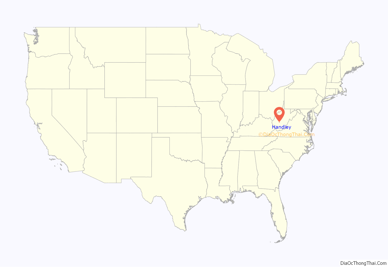
Handley location map. Where is Handley town?
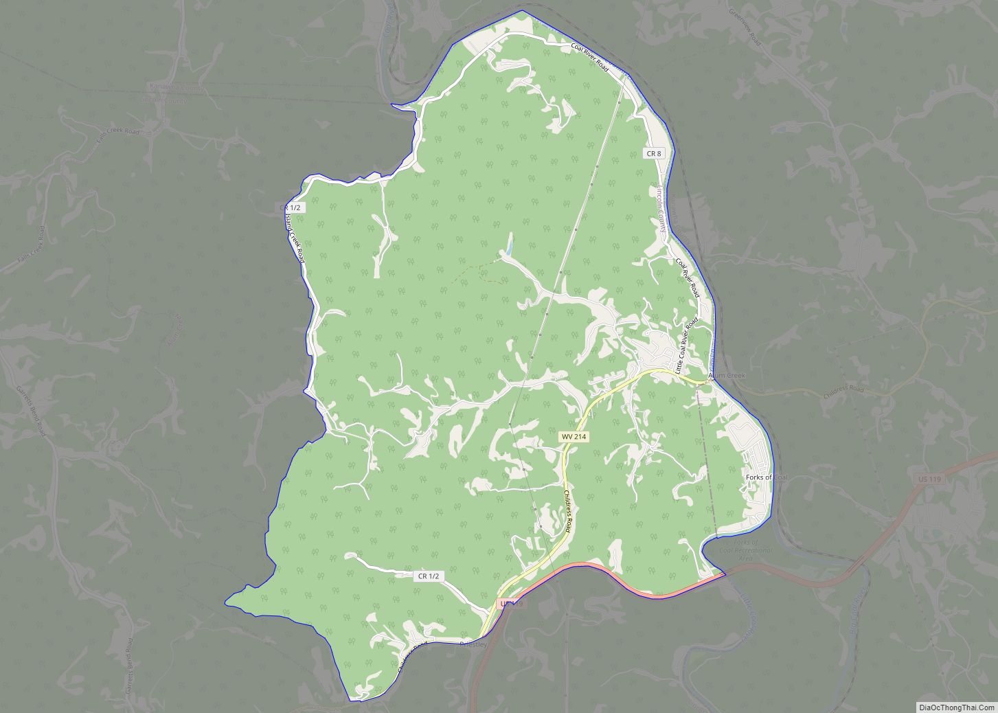
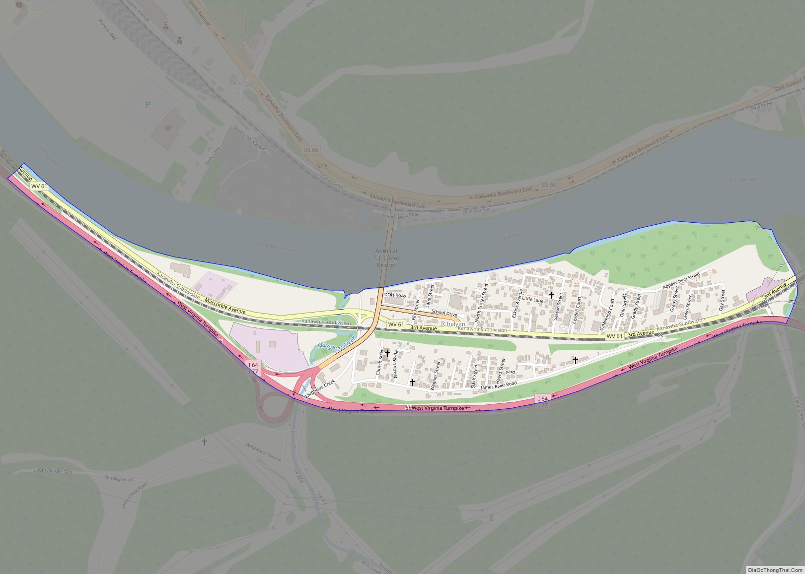
Handley Road Map
Handley city Satellite Map
Geography
According to the United States Census Bureau, the town has a total area of 0.97 square miles (2.51 km), of which 0.95 square miles (2.46 km) is land and 0.02 square miles (0.05 km) is water.
See also
Map of West Virginia State and its subdivision:- Barbour
- Berkeley
- Boone
- Braxton
- Brooke
- Cabell
- Calhoun
- Clay
- Doddridge
- Fayette
- Gilmer
- Grant
- Greenbrier
- Hampshire
- Hancock
- Hardy
- Harrison
- Jackson
- Jefferson
- Kanawha
- Lewis
- Lincoln
- Logan
- Marion
- Marshall
- Mason
- McDowell
- Mercer
- Mineral
- Mingo
- Monongalia
- Monroe
- Morgan
- Nicholas
- Ohio
- Pendleton
- Pleasants
- Pocahontas
- Preston
- Putnam
- Raleigh
- Randolph
- Ritchie
- Roane
- Summers
- Taylor
- Tucker
- Tyler
- Upshur
- Wayne
- Webster
- Wetzel
- Wirt
- Wood
- Wyoming
- Alabama
- Alaska
- Arizona
- Arkansas
- California
- Colorado
- Connecticut
- Delaware
- District of Columbia
- Florida
- Georgia
- Hawaii
- Idaho
- Illinois
- Indiana
- Iowa
- Kansas
- Kentucky
- Louisiana
- Maine
- Maryland
- Massachusetts
- Michigan
- Minnesota
- Mississippi
- Missouri
- Montana
- Nebraska
- Nevada
- New Hampshire
- New Jersey
- New Mexico
- New York
- North Carolina
- North Dakota
- Ohio
- Oklahoma
- Oregon
- Pennsylvania
- Rhode Island
- South Carolina
- South Dakota
- Tennessee
- Texas
- Utah
- Vermont
- Virginia
- Washington
- West Virginia
- Wisconsin
- Wyoming
