Montgomery is a city in West Virginia, along the Kanawha River. Most of the city is in Fayette County, with the remainder in Kanawha County. The population was 1,280 at the 2020 census.
From 1876 to 1890, the town was called Coal Valley Post Office. The name then changed to Montgomery’s Landing, then to Coal Valley. In 1890 it was again renamed, as Cannelton. It was incorporated on April 1, 1891, and the name Montgomery was settled upon; it was named for James C. Montgomery, one of the city’s first settlers. The land was given to James Montgomery as a wedding present from his father-in-law, Levi Morris, who owned all the land.
The town’s late-19th century growth was due to the construction of the Kanawha & Michigan Railroad across the river and the connection of the Virginian Railway at nearby Deepwater. In the early 1910s, Montgomery was the shipping center for 26 different coal operations and was the largest town in Fayette County at the time.
From 1895 until its 2017 move to Beckley, Montgomery was the home of West Virginia University Institute of Technology, popularly called WVU Tech. The city is currently home to BridgeValley Community and Technical College – Montgomery Campus.
| Name: | Montgomery city |
|---|---|
| LSAD Code: | 25 |
| LSAD Description: | city (suffix) |
| State: | West Virginia |
| County: | Fayette County, Kanawha County |
| Elevation: | 636 ft (194 m) |
| Total Area: | 1.75 sq mi (4.53 km²) |
| Land Area: | 1.60 sq mi (4.14 km²) |
| Water Area: | 0.15 sq mi (0.39 km²) |
| Total Population: | 1,280 |
| Population Density: | 942.50/sq mi (363.88/km²) |
| ZIP code: | 25136 |
| Area code: | 304 |
| FIPS code: | 5455468 |
| GNISfeature ID: | 1555154 |
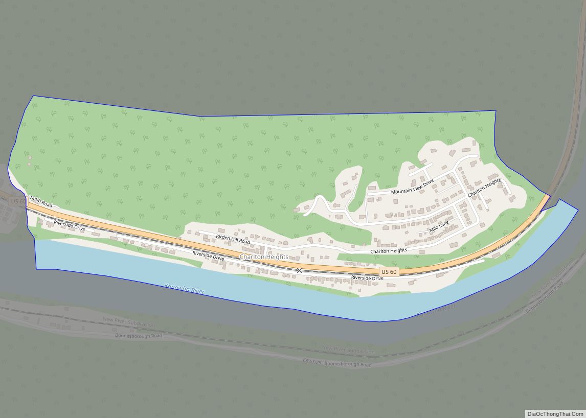
Online Interactive Map
Click on ![]() to view map in "full screen" mode.
to view map in "full screen" mode.
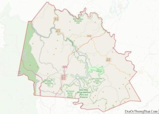
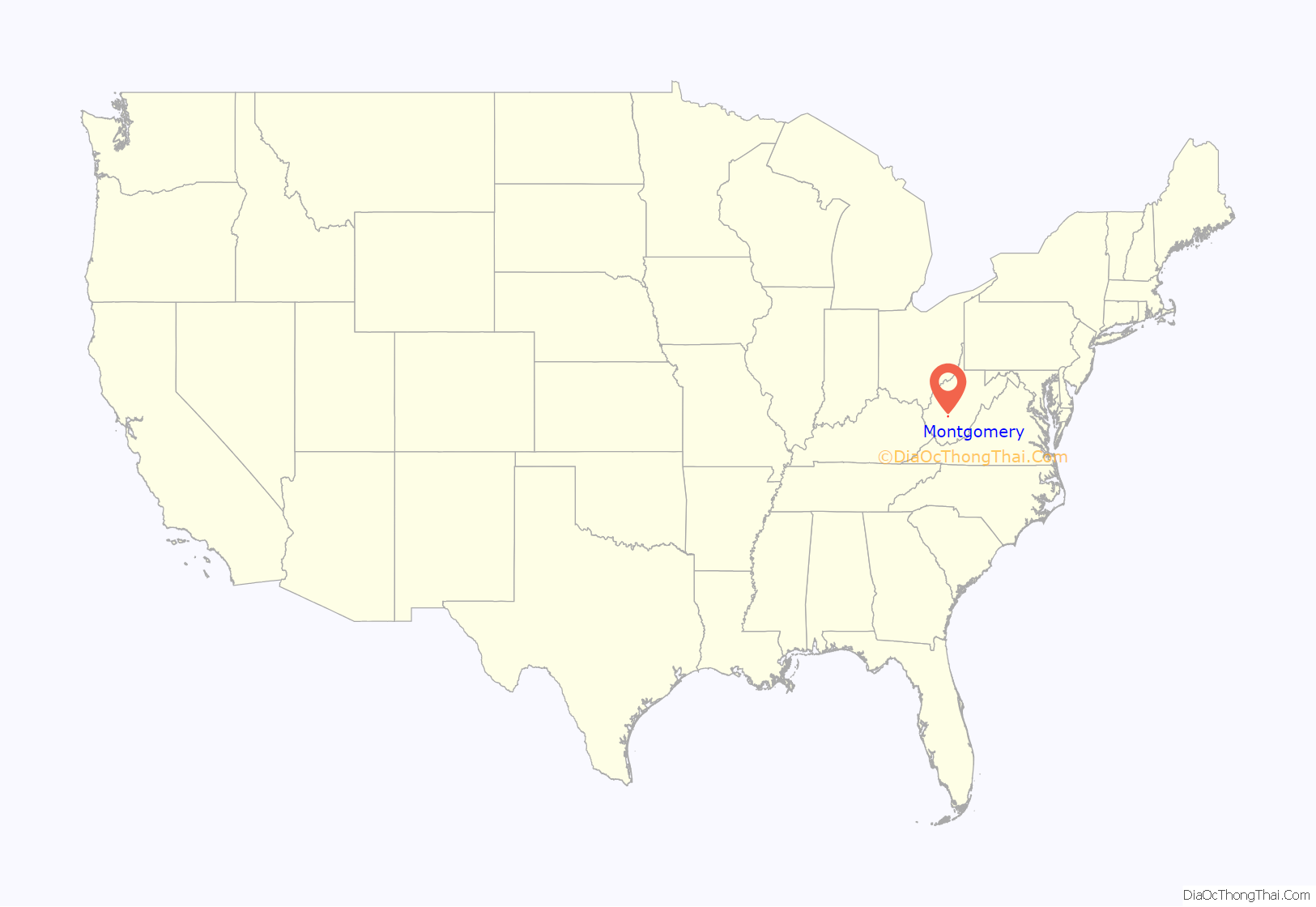
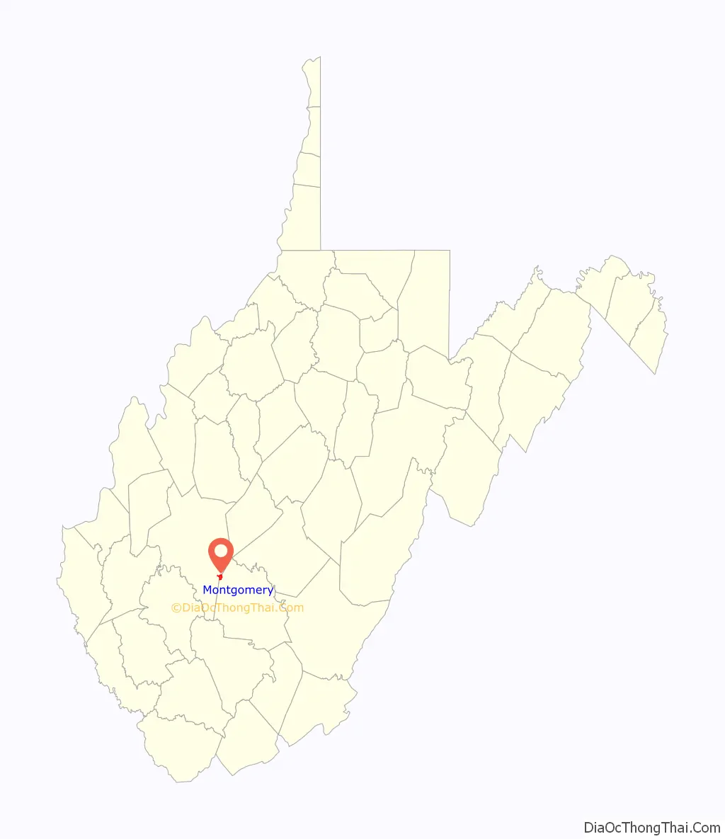
Montgomery location map. Where is Montgomery city?
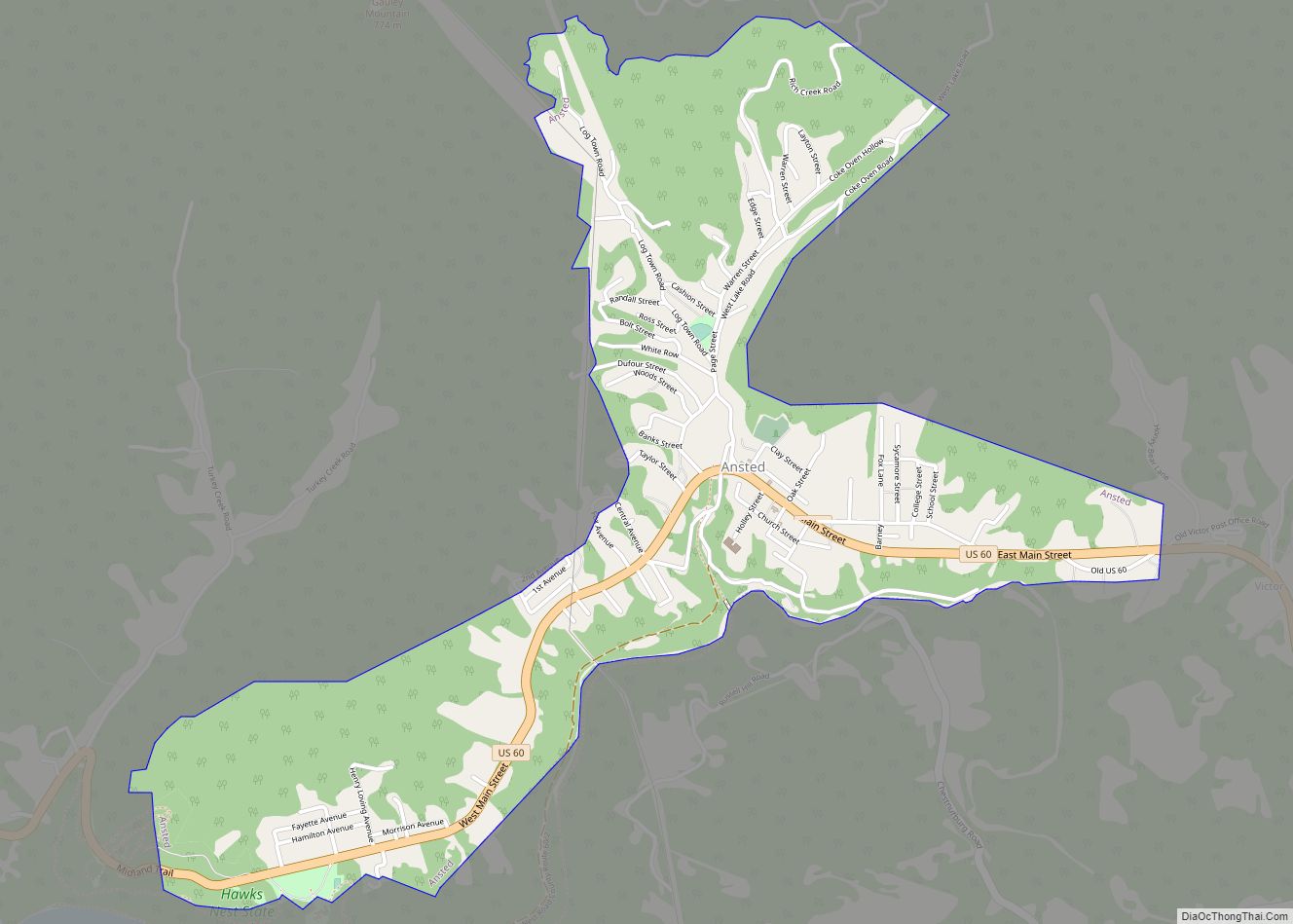
Montgomery Road Map
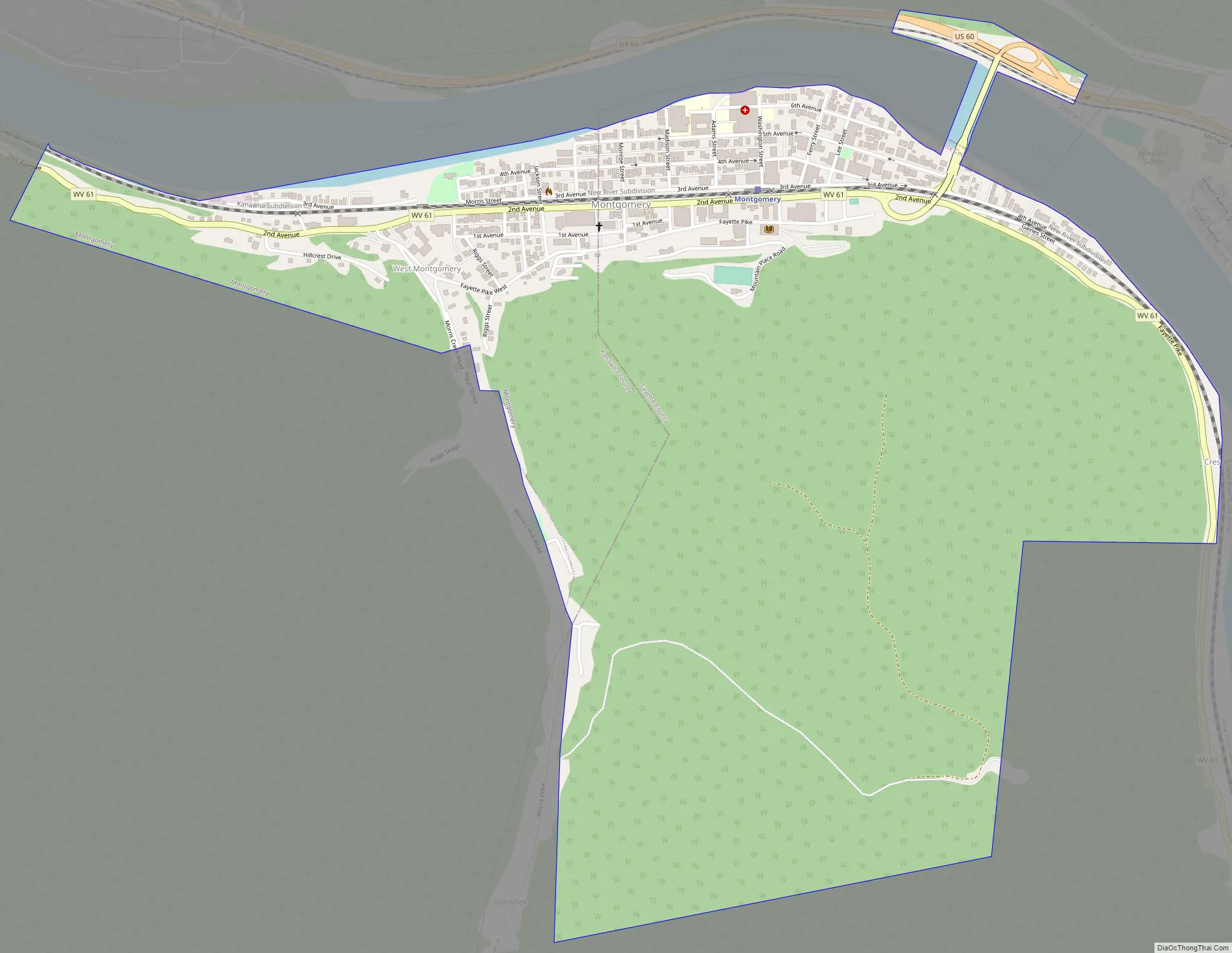
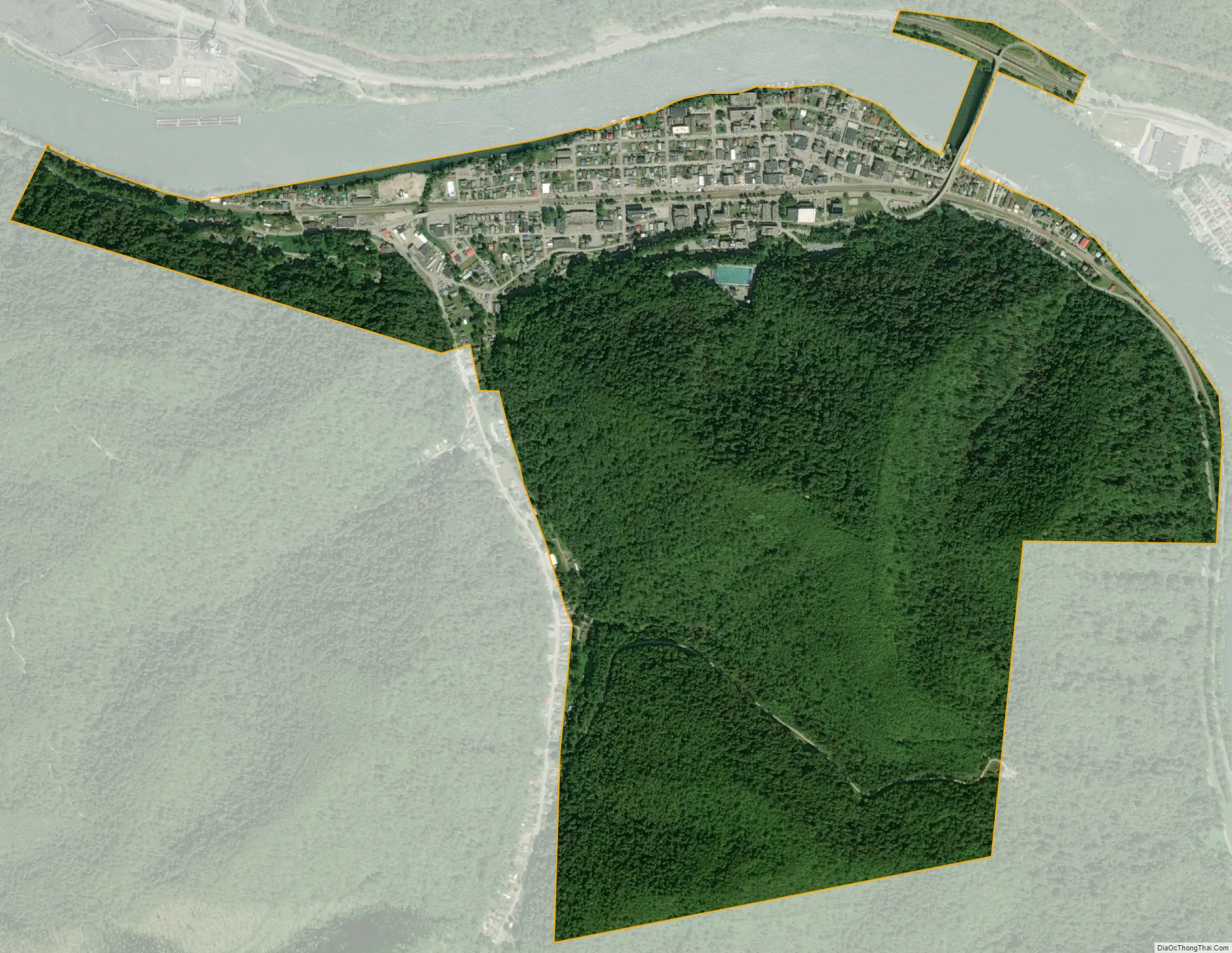
Montgomery city Satellite Map
Geography
According to the United States Census Bureau, the city has a total area of 1.59 square miles (4.12 km), of which 1.57 square miles (4.07 km) is land and 0.02 square miles (0.05 km) is water.
See also
Map of West Virginia State and its subdivision:- Barbour
- Berkeley
- Boone
- Braxton
- Brooke
- Cabell
- Calhoun
- Clay
- Doddridge
- Fayette
- Gilmer
- Grant
- Greenbrier
- Hampshire
- Hancock
- Hardy
- Harrison
- Jackson
- Jefferson
- Kanawha
- Lewis
- Lincoln
- Logan
- Marion
- Marshall
- Mason
- McDowell
- Mercer
- Mineral
- Mingo
- Monongalia
- Monroe
- Morgan
- Nicholas
- Ohio
- Pendleton
- Pleasants
- Pocahontas
- Preston
- Putnam
- Raleigh
- Randolph
- Ritchie
- Roane
- Summers
- Taylor
- Tucker
- Tyler
- Upshur
- Wayne
- Webster
- Wetzel
- Wirt
- Wood
- Wyoming
- Alabama
- Alaska
- Arizona
- Arkansas
- California
- Colorado
- Connecticut
- Delaware
- District of Columbia
- Florida
- Georgia
- Hawaii
- Idaho
- Illinois
- Indiana
- Iowa
- Kansas
- Kentucky
- Louisiana
- Maine
- Maryland
- Massachusetts
- Michigan
- Minnesota
- Mississippi
- Missouri
- Montana
- Nebraska
- Nevada
- New Hampshire
- New Jersey
- New Mexico
- New York
- North Carolina
- North Dakota
- Ohio
- Oklahoma
- Oregon
- Pennsylvania
- Rhode Island
- South Carolina
- South Dakota
- Tennessee
- Texas
- Utah
- Vermont
- Virginia
- Washington
- West Virginia
- Wisconsin
- Wyoming