Mineralwells, also known as Mineral Wells, is a census-designated place (CDP) in Wood County, West Virginia, United States. It is part of the Parkersburg–Marietta–Vienna, WV-OH Metropolitan Statistical Area. The population was 1,950 at the 2010 census.
The United States Census Bureau calls the community Mineralwells, although the United States Postal Service renamed the community’s post office in the late 1990s to Mineral Wells.
| Name: | Mineralwells CDP |
|---|---|
| LSAD Code: | 57 |
| LSAD Description: | CDP (suffix) |
| State: | West Virginia |
| County: | Wood County |
| Total Area: | 1.5 sq mi (4.0 km²) |
| Land Area: | 1.5 sq mi (4.0 km²) |
| Water Area: | 0.0 sq mi (0.0 km²) |
| Total Population: | 1,950 |
| Population Density: | 1,300/sq mi (490/km²) |
| ZIP code: | 26120, 26121, 26150 |
| Area code: | 304 |
| FIPS code: | 5454580 |
| GNISfeature ID: | 1543436 |
Online Interactive Map
Click on ![]() to view map in "full screen" mode.
to view map in "full screen" mode.
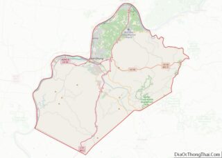
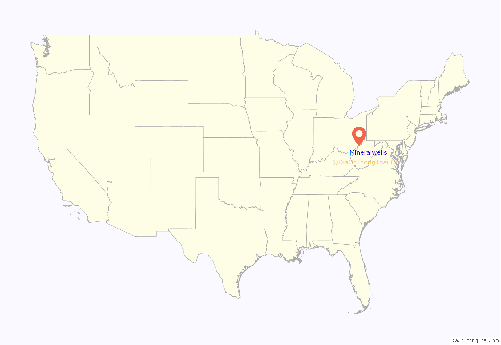
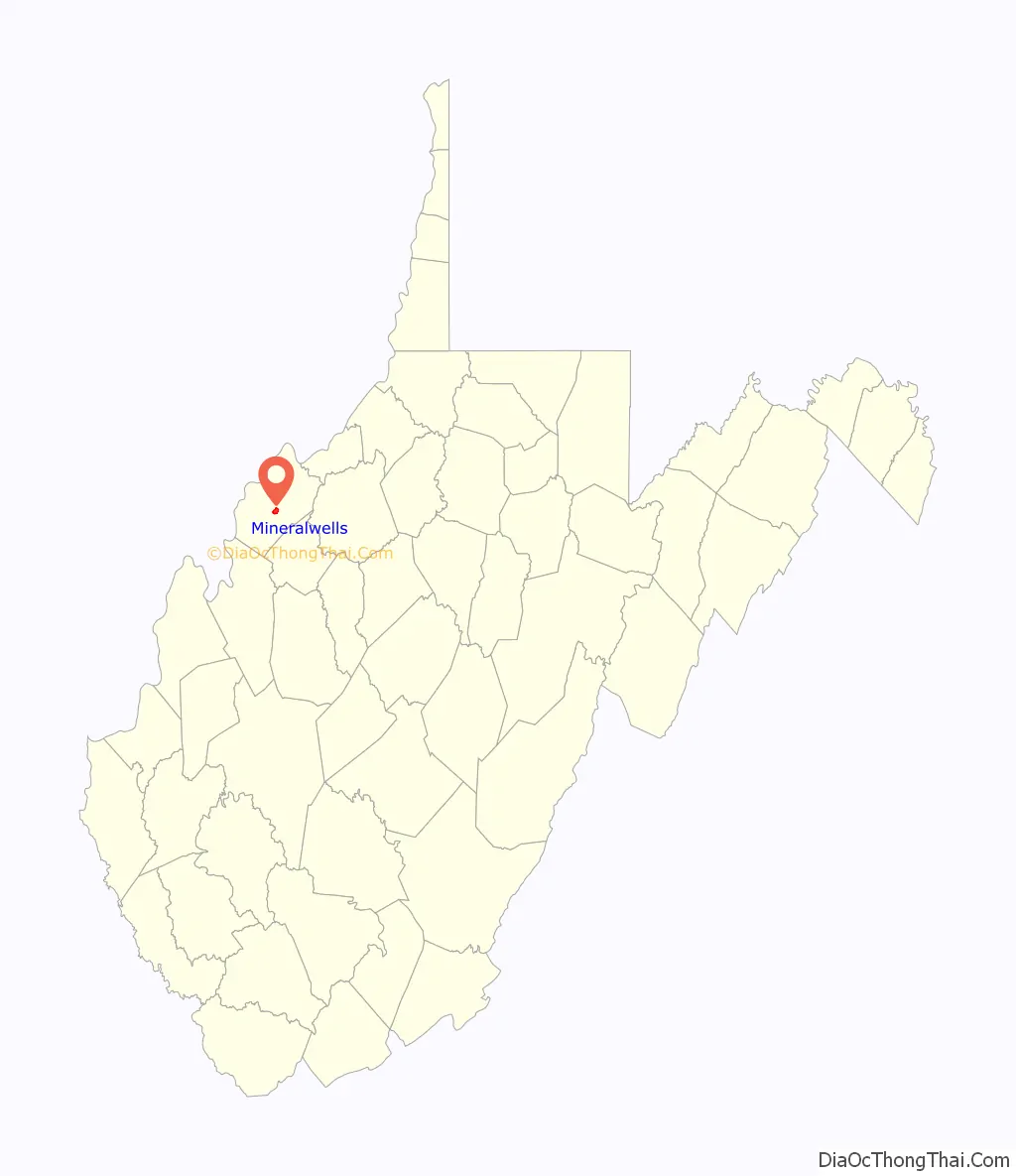
Mineralwells location map. Where is Mineralwells CDP?
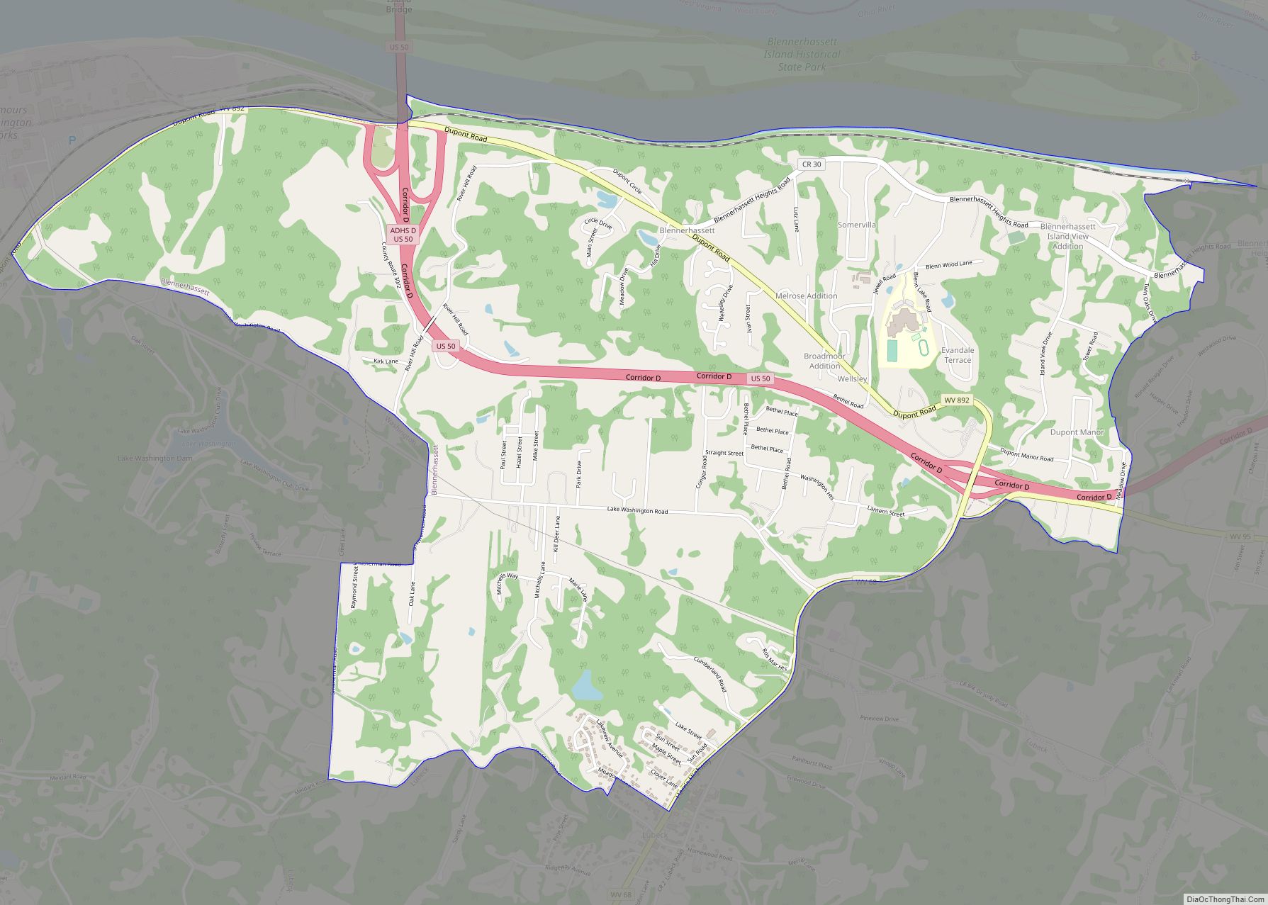
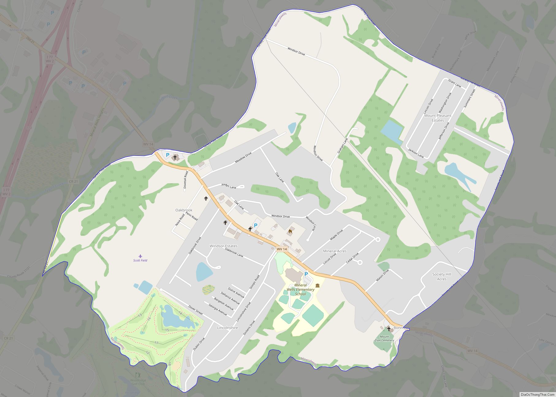
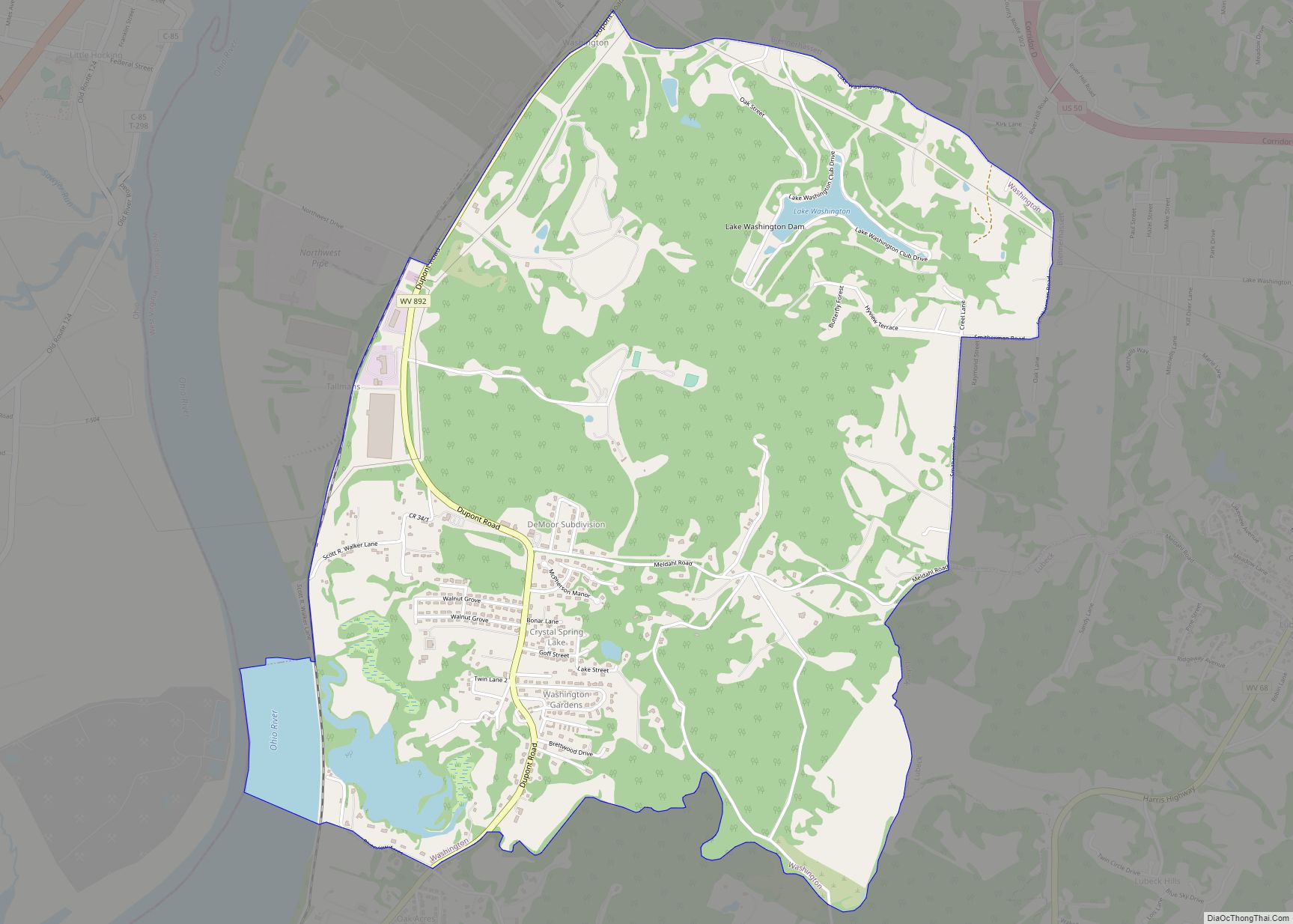
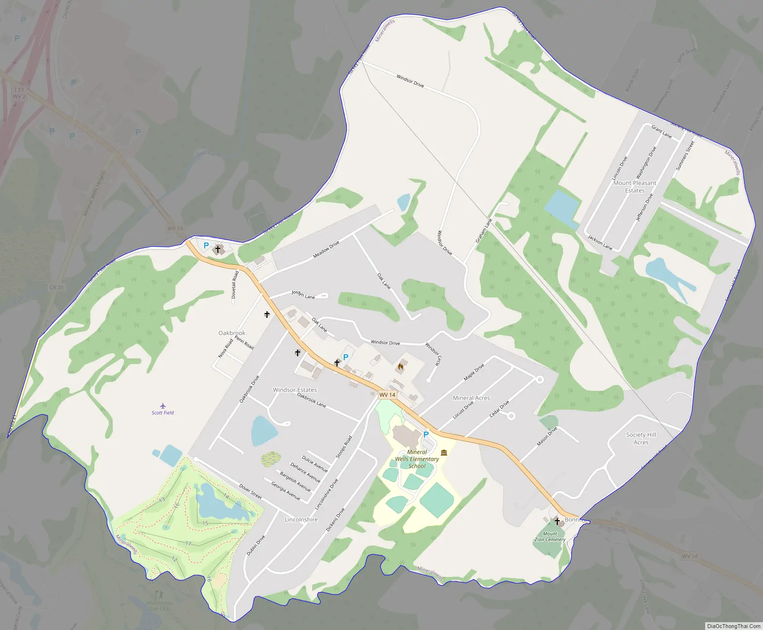
Mineralwells Road Map
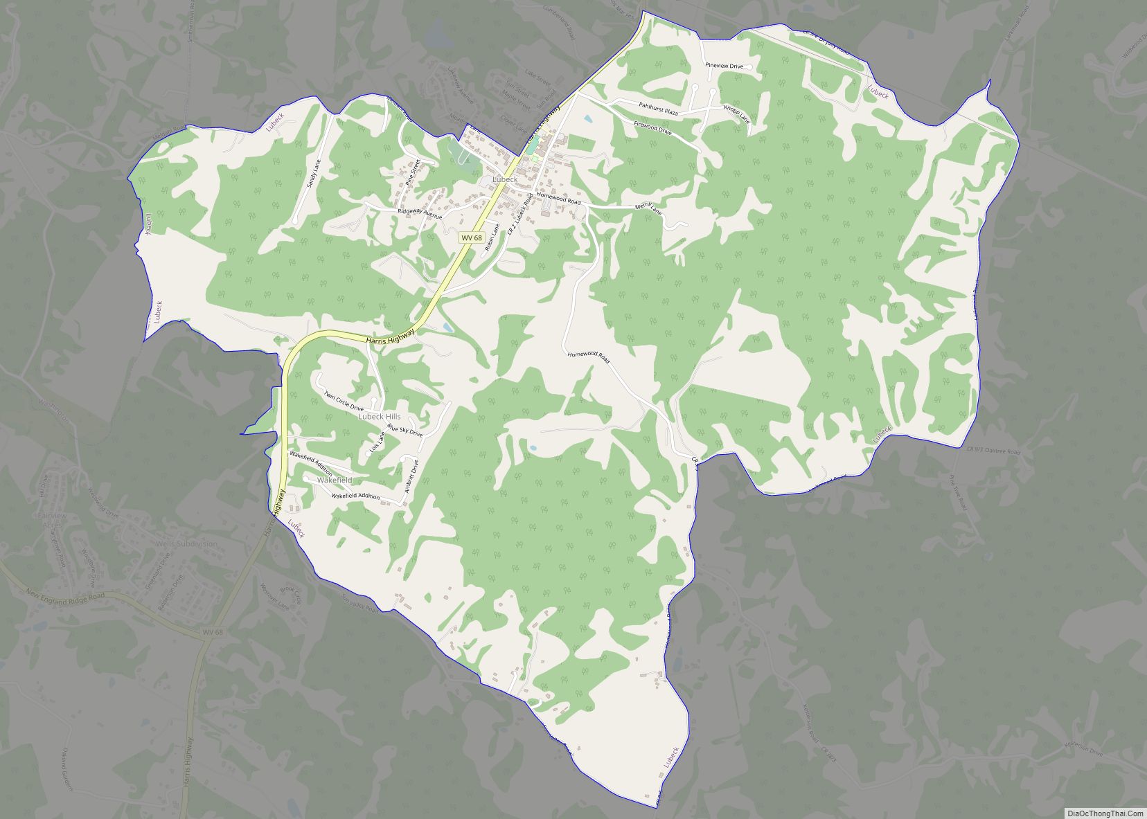
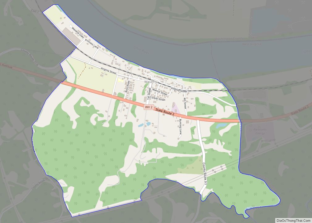
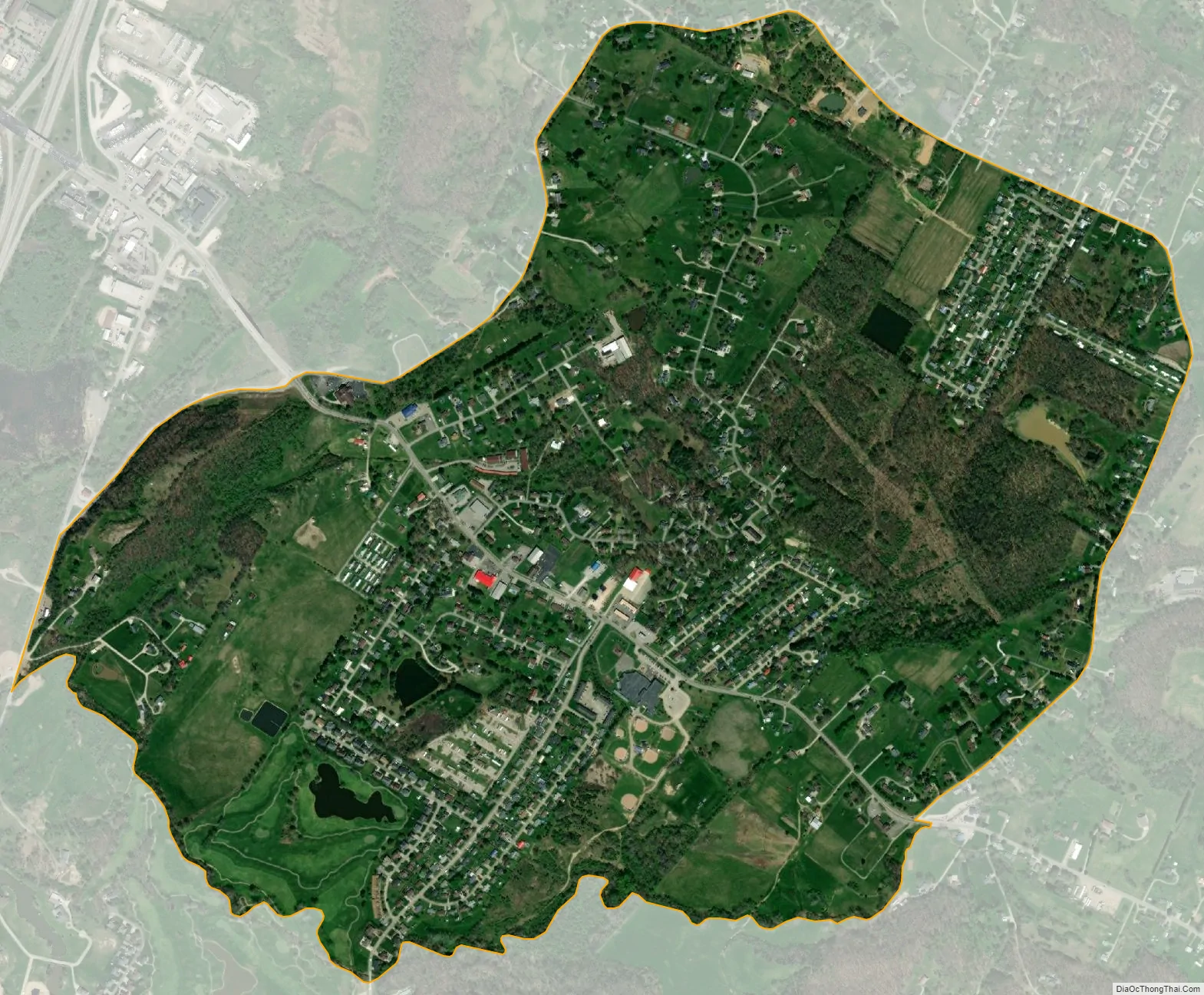
Mineralwells city Satellite Map
Geography
Mineralwells is located at 39°10′44″N 81°30′37″W / 39.17889°N 81.51028°W / 39.17889; -81.51028 (39.178764, -81.510242), south of the Little Kanawha River, along Tygart Creek.
According to the United States Census Bureau, the CDP has a total area of 1.5 square miles (4.0 km²), all land.
See also
Map of West Virginia State and its subdivision:- Barbour
- Berkeley
- Boone
- Braxton
- Brooke
- Cabell
- Calhoun
- Clay
- Doddridge
- Fayette
- Gilmer
- Grant
- Greenbrier
- Hampshire
- Hancock
- Hardy
- Harrison
- Jackson
- Jefferson
- Kanawha
- Lewis
- Lincoln
- Logan
- Marion
- Marshall
- Mason
- McDowell
- Mercer
- Mineral
- Mingo
- Monongalia
- Monroe
- Morgan
- Nicholas
- Ohio
- Pendleton
- Pleasants
- Pocahontas
- Preston
- Putnam
- Raleigh
- Randolph
- Ritchie
- Roane
- Summers
- Taylor
- Tucker
- Tyler
- Upshur
- Wayne
- Webster
- Wetzel
- Wirt
- Wood
- Wyoming
- Alabama
- Alaska
- Arizona
- Arkansas
- California
- Colorado
- Connecticut
- Delaware
- District of Columbia
- Florida
- Georgia
- Hawaii
- Idaho
- Illinois
- Indiana
- Iowa
- Kansas
- Kentucky
- Louisiana
- Maine
- Maryland
- Massachusetts
- Michigan
- Minnesota
- Mississippi
- Missouri
- Montana
- Nebraska
- Nevada
- New Hampshire
- New Jersey
- New Mexico
- New York
- North Carolina
- North Dakota
- Ohio
- Oklahoma
- Oregon
- Pennsylvania
- Rhode Island
- South Carolina
- South Dakota
- Tennessee
- Texas
- Utah
- Vermont
- Virginia
- Washington
- West Virginia
- Wisconsin
- Wyoming