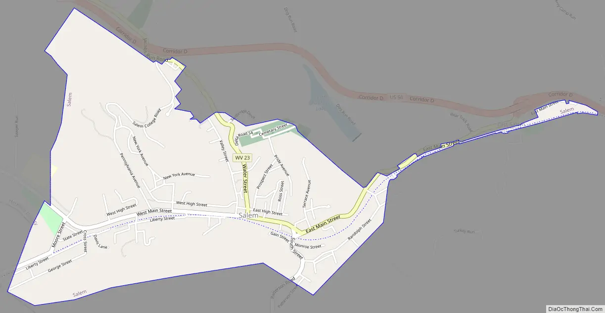
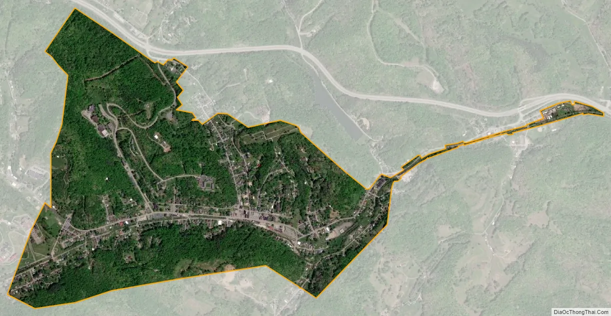
Salem is a city in Harrison County, West Virginia, United States. The population was 1,485 at the 2020 census. It is located at the junction of U.S. Route 50 and West Virginia Route 23; the North Bend Rail Trail passes through the city. Salem University is located in Salem.
| Name: | Salem city |
|---|---|
| LSAD Code: | 25 |
| LSAD Description: | city (suffix) |
| State: | West Virginia |
| County: | Harrison County |
| Elevation: | 1,050 ft (320 m) |
| Total Area: | 1.34 sq mi (3.47 km²) |
| Land Area: | 1.34 sq mi (3.47 km²) |
| Water Area: | 0.00 sq mi (0.00 km²) |
| Total Population: | 1,490 |
| Population Density: | 1,137.52/sq mi (439.20/km²) |
| ZIP code: | 26426 |
| Area code: | 304 |
| FIPS code: | 5471380 |
| GNISfeature ID: | 1546280 |
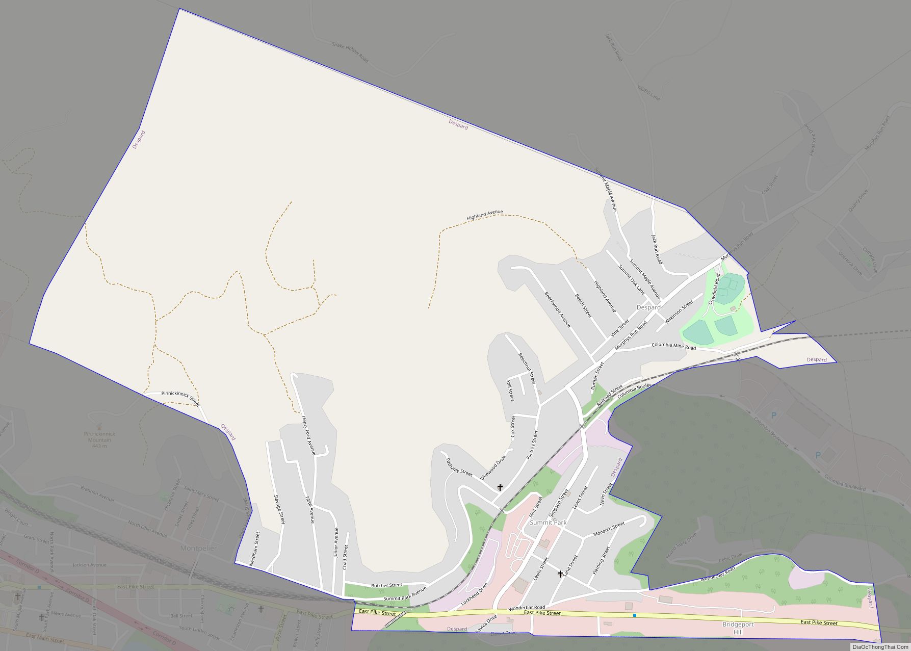
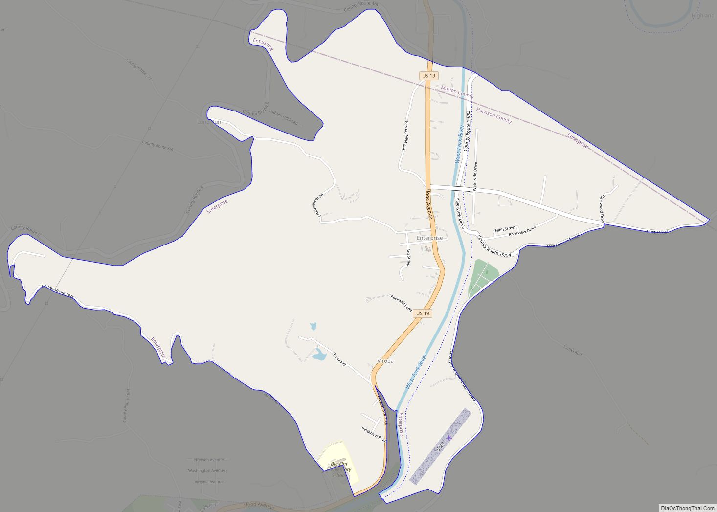
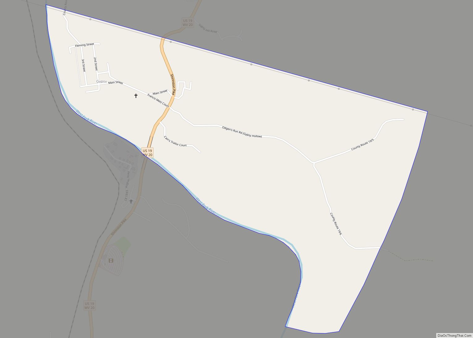
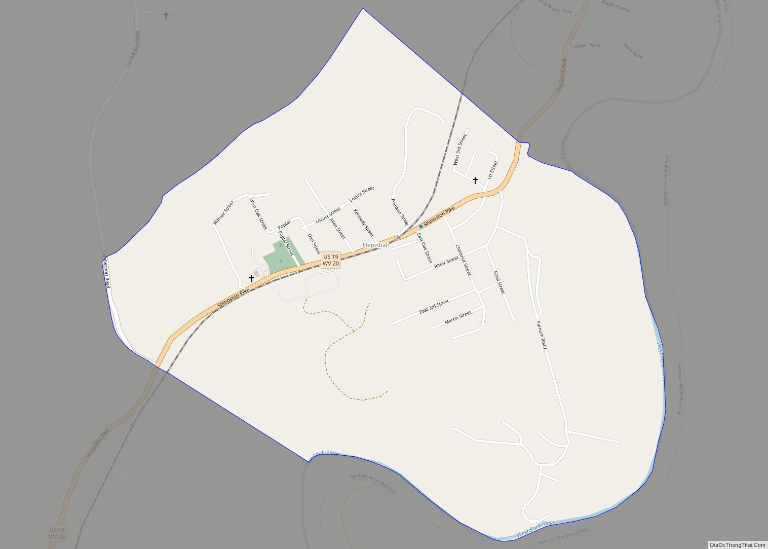
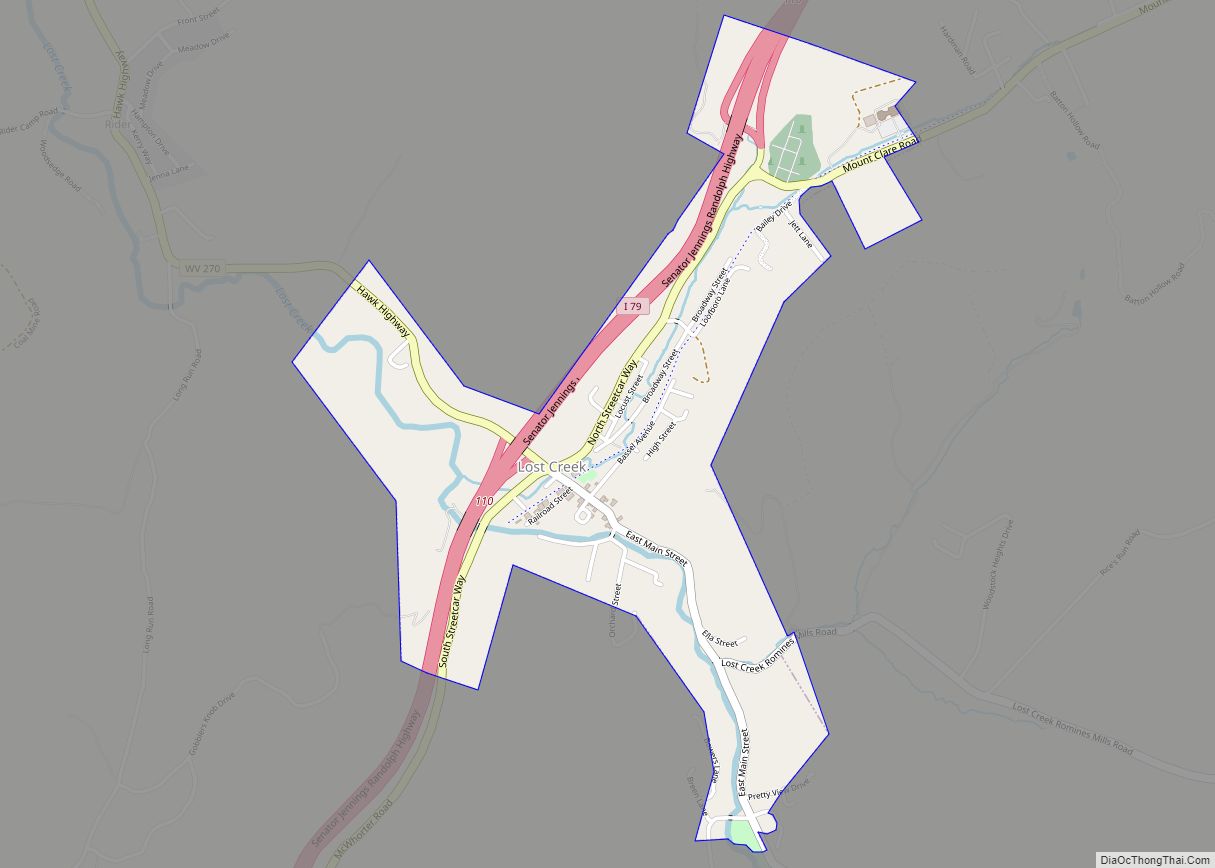
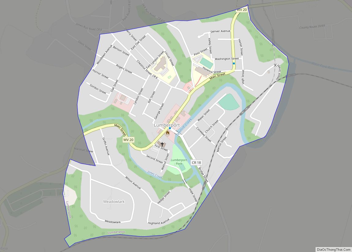
Online Interactive Map
Click on ![]() to view map in "full screen" mode.
to view map in "full screen" mode.
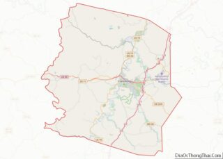
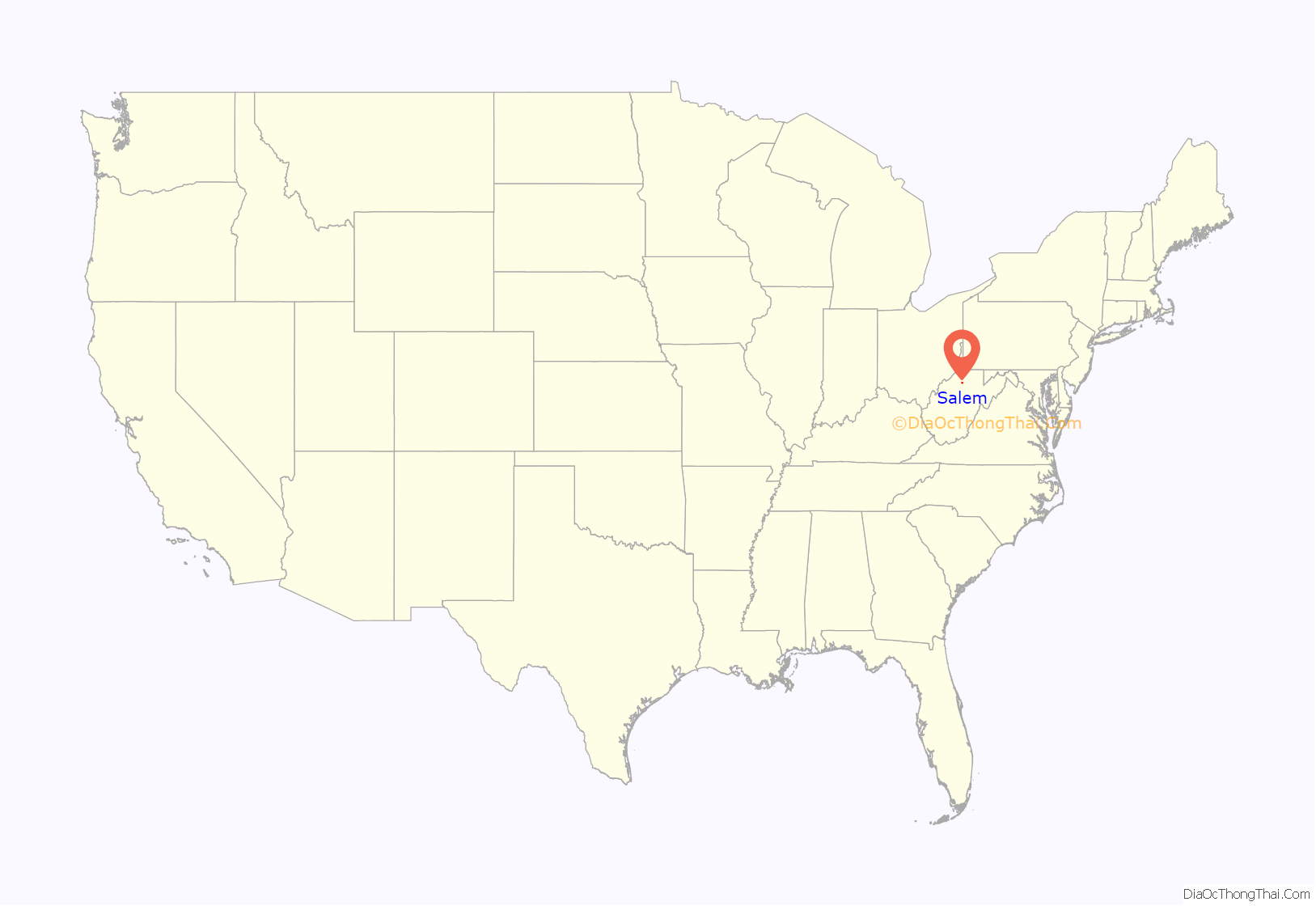
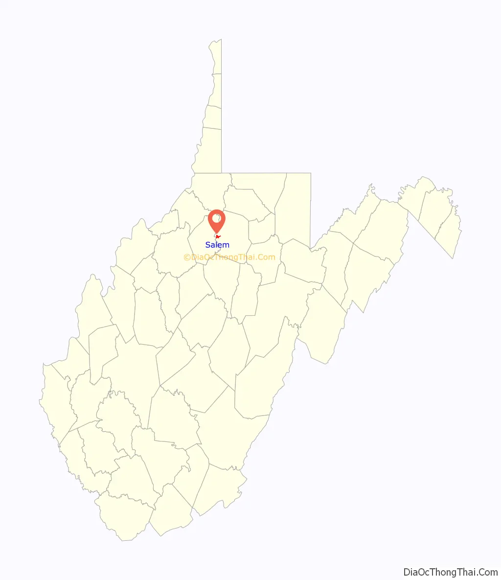
Salem location map. Where is Salem city?
History
Salem was settled in the summer of 1790 — as “New Salem” — by forty Seventh Day Baptist families from Shrewsbury, New Jersey. Notable settler family names included Lippincott, Maxson, Babcock, Plumer, Davis, and Fitz-Randolph. New Salem was formally chartered and made a town by legislative enactment of the Virginia Assembly on December 19, 1794, on land owned by Samuel Fitz Randolph. John Patterson, John Davis, Samuel Lippincott, James Davis, Zebulon Maxon, Benjamin Thorp, Thomas Clayton, William Davis, Jacob Davis, George Jackson and John Haymond were appointed its first trustees.
By the 1870s, the town was more frequently being called “Salem” than “New Salem”, as the separation of West Virginia from Virginia in 1863 had diminished the need to distinguish it from the town named Salem near Roanoke. The US Postal Service made the change official in March 1884. Salem was incorporated by the state of West Virginia on 25 February 1905.
As late as 1870, Charles A. Burdick came to town as a Seventh Day Baptist missionary, feeling the need for an educational institution in the area, opened a school, though it operated for only two semesters. In 1888, the Eastern Seventh Day Baptist Association provided for the construction of the Salem Academy, which later became a college in 1890, existing to this day.
Salem has a history of large fires. The same full city block has burned down twice in the city’s history. The north side of Main Street downtown burned once in 1901 and again on March 2, 2006. The more recent fire burned the old city bank building, several store fronts, and several residences; five structures in all were damaged. The fire was determined to have been started by a hot water tank in an apartment. The fire departments’ ability to put out the blaze was hampered by a limited city water supply; they were forced to draw water from the nearby creek.
The Salem College Administration Building and Salem Historic District are listed on the National Register of Historic Places.
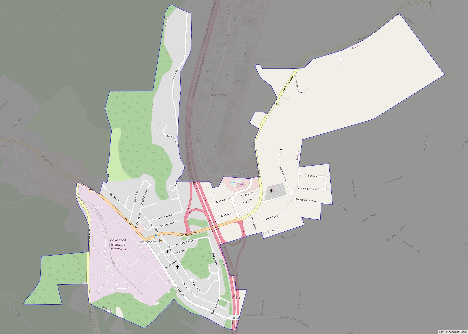
Salem Road Map
Salem city Satellite Map
Geography
Salem is located at 39°17′0″N 80°33′46″W / 39.28333°N 80.56278°W / 39.28333; -80.56278 (39.283411, -80.562731), along Salem Fork, a tributary of Tenmile Creek, in western Harrison County
According to the United States Census Bureau, the city has a total area of 1.34 square miles (3.47 km), all land.
See also
Map of West Virginia State and its subdivision:- Barbour
- Berkeley
- Boone
- Braxton
- Brooke
- Cabell
- Calhoun
- Clay
- Doddridge
- Fayette
- Gilmer
- Grant
- Greenbrier
- Hampshire
- Hancock
- Hardy
- Harrison
- Jackson
- Jefferson
- Kanawha
- Lewis
- Lincoln
- Logan
- Marion
- Marshall
- Mason
- McDowell
- Mercer
- Mineral
- Mingo
- Monongalia
- Monroe
- Morgan
- Nicholas
- Ohio
- Pendleton
- Pleasants
- Pocahontas
- Preston
- Putnam
- Raleigh
- Randolph
- Ritchie
- Roane
- Summers
- Taylor
- Tucker
- Tyler
- Upshur
- Wayne
- Webster
- Wetzel
- Wirt
- Wood
- Wyoming
- Alabama
- Alaska
- Arizona
- Arkansas
- California
- Colorado
- Connecticut
- Delaware
- District of Columbia
- Florida
- Georgia
- Hawaii
- Idaho
- Illinois
- Indiana
- Iowa
- Kansas
- Kentucky
- Louisiana
- Maine
- Maryland
- Massachusetts
- Michigan
- Minnesota
- Mississippi
- Missouri
- Montana
- Nebraska
- Nevada
- New Hampshire
- New Jersey
- New Mexico
- New York
- North Carolina
- North Dakota
- Ohio
- Oklahoma
- Oregon
- Pennsylvania
- Rhode Island
- South Carolina
- South Dakota
- Tennessee
- Texas
- Utah
- Vermont
- Virginia
- Washington
- West Virginia
- Wisconsin
- Wyoming