Williamstown is a city in Wood County, West Virginia, United States, along the Ohio River. It is part of the Parkersburg–Vienna metropolitan area. The population was 2,997 at the 2020 census. The now closed Fenton Art Glass Company was located in the city.
| Name: | Williamstown city |
|---|---|
| LSAD Code: | 25 |
| LSAD Description: | city (suffix) |
| State: | West Virginia |
| County: | Wood County |
| Elevation: | 633 ft (193 m) |
| Total Area: | 1.81 sq mi (4.69 km²) |
| Land Area: | 1.49 sq mi (3.86 km²) |
| Water Area: | 0.32 sq mi (0.82 km²) |
| Total Population: | 2,997 |
| Population Density: | 2,011/sq mi (776.4/km²) |
| ZIP code: | 26187 |
| Area code: | 304 |
| FIPS code: | 5487556 |
| GNISfeature ID: | 1555989 |
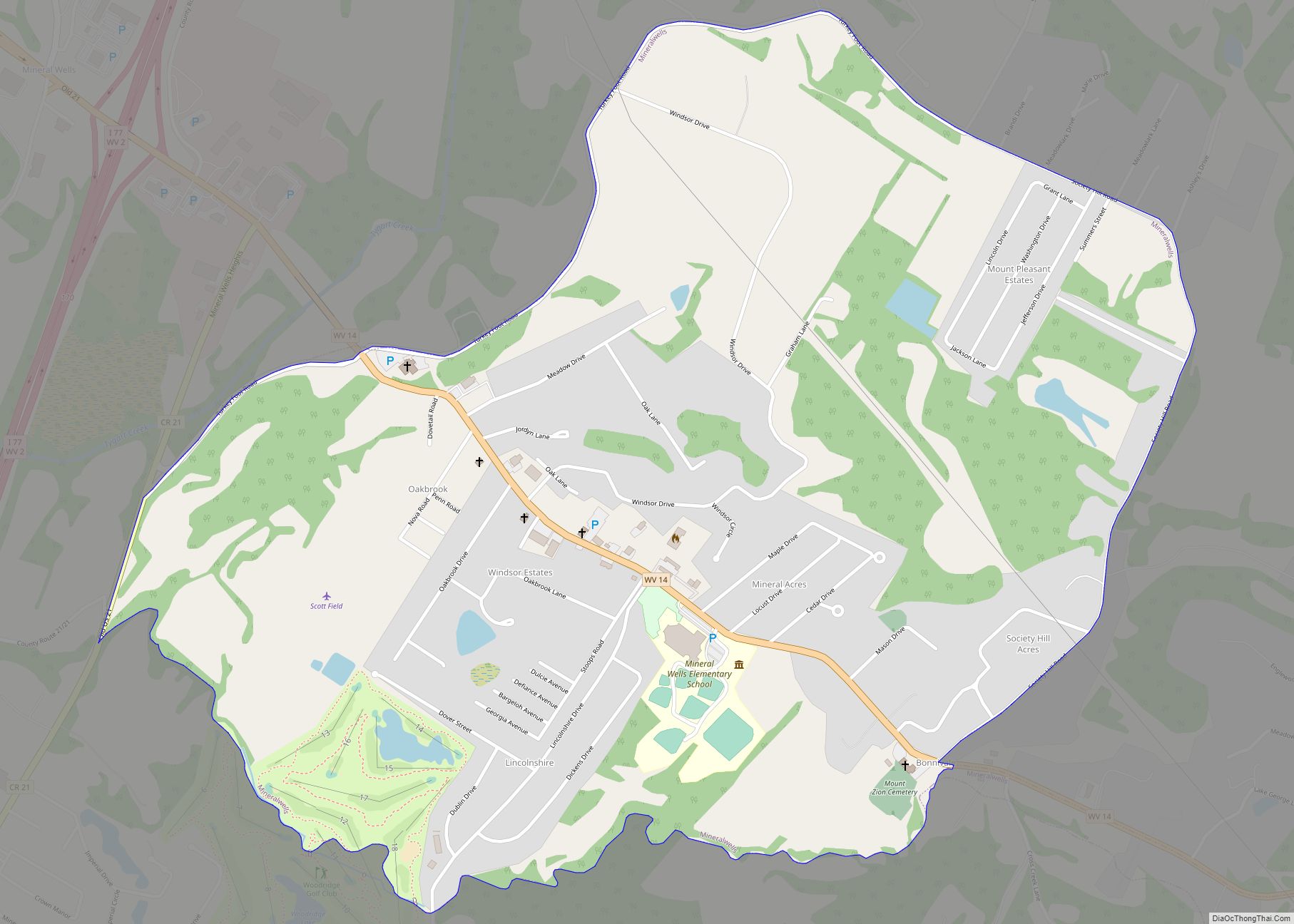
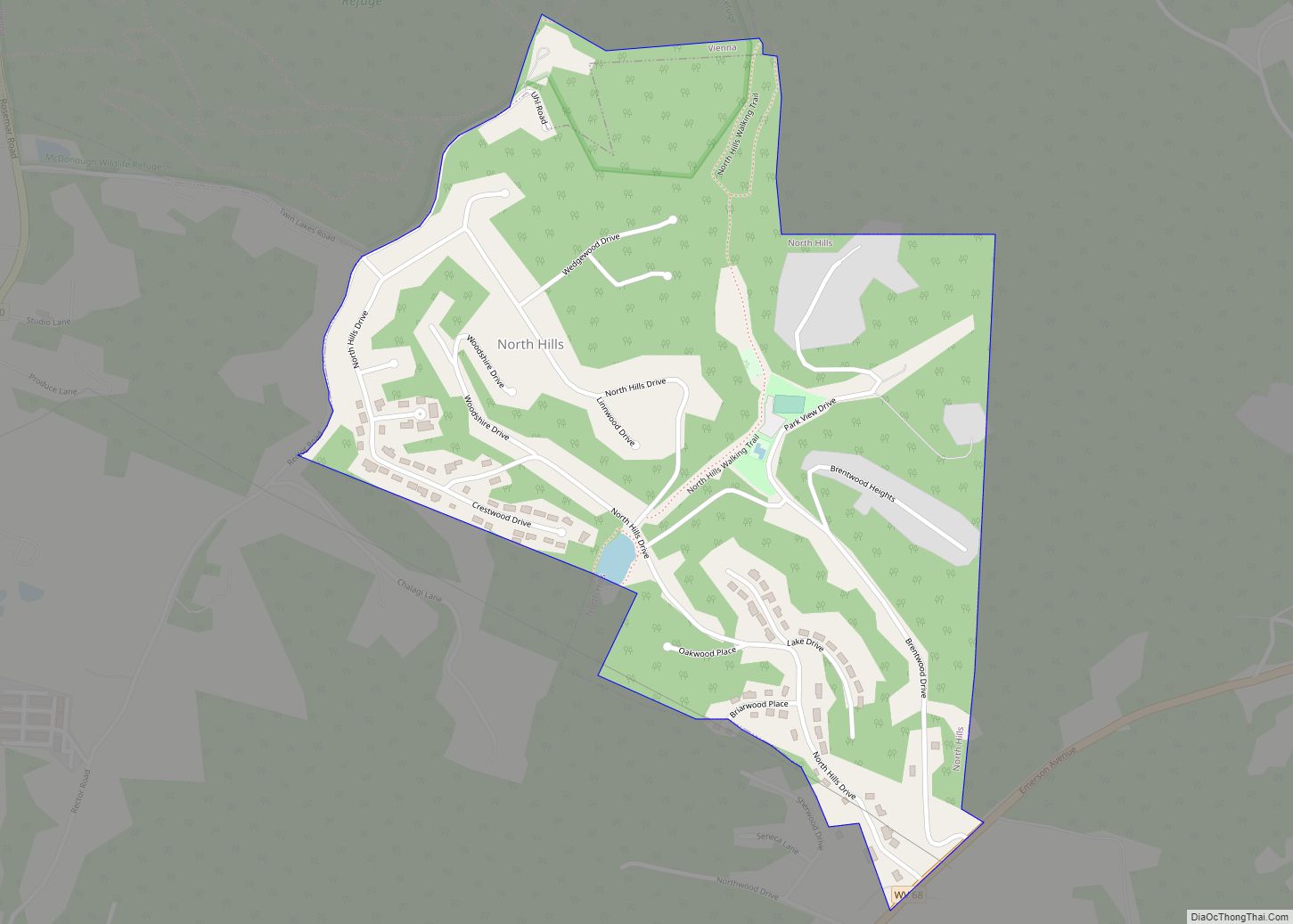
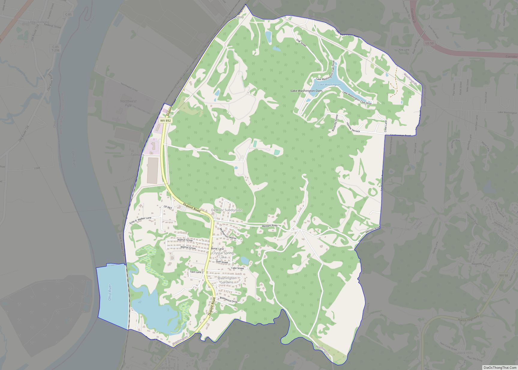
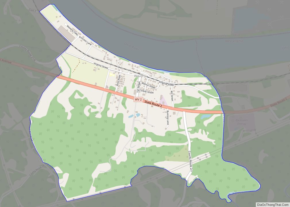
Online Interactive Map
Click on ![]() to view map in "full screen" mode.
to view map in "full screen" mode.
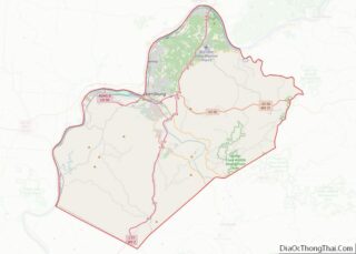
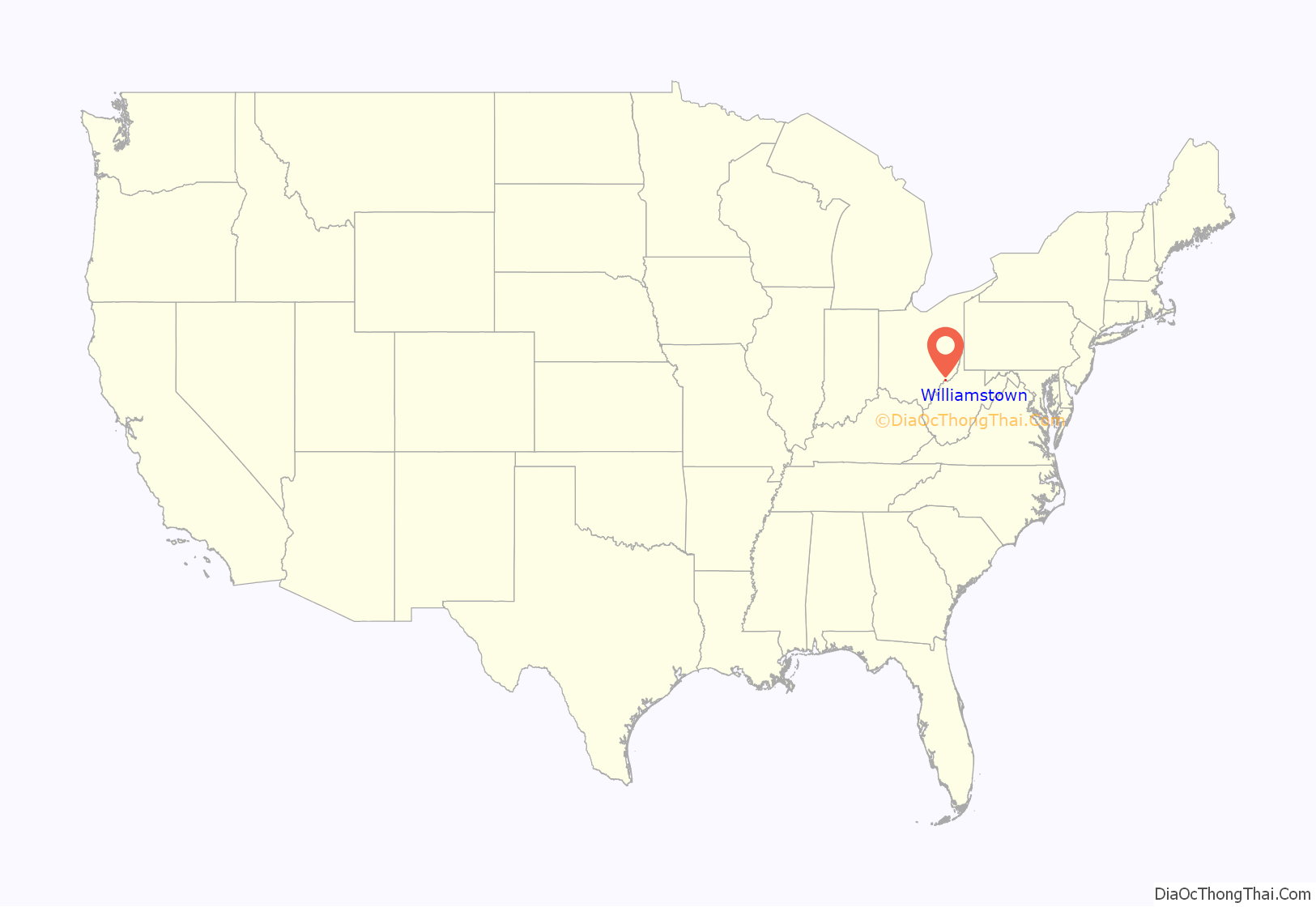
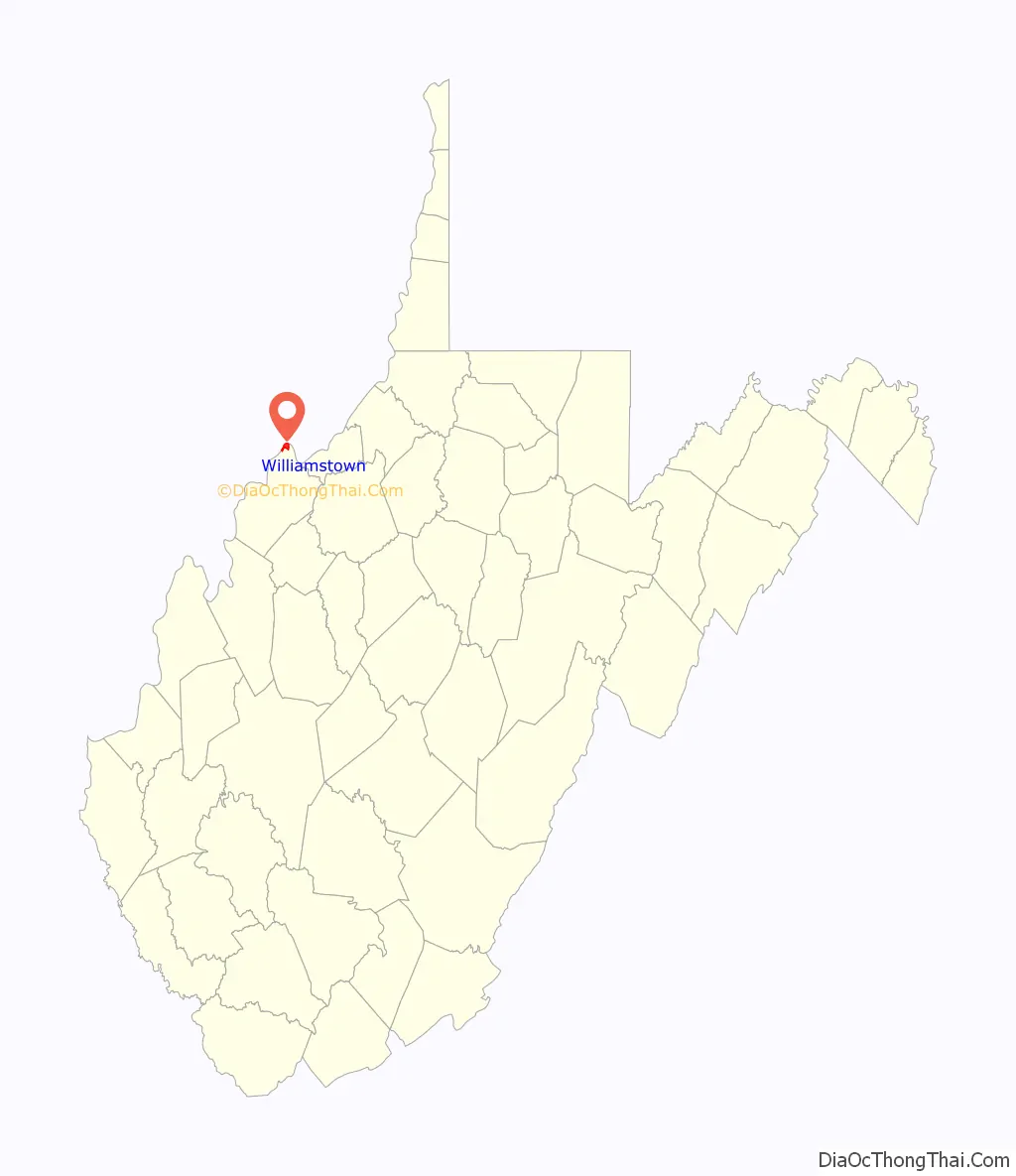
Williamstown location map. Where is Williamstown city?
History
Williamstown was named for Isaac Williams (1737–1820), who settled here in 1787. Williams had served under General Braddock (1755) as a ranger and spy and under Governor Dunmore (1774) fighting against the Shawnee. His home was on 400 acres on the Ohio River opposite the mouth of the Muskingum River, site of Marietta, Ohio, which was founded about a year after he arrived. Other local namesakes include Williams Creek and Williams District. The settlement was known as “Williamsport” to Ohio River travelers until 1822 when the present name was formalized.
Located in Williamstown is the Tomlinson Mansion, listed on the National Register of Historic Places in 1974. Located near Williamstown is the Henderson Hall Historic District.
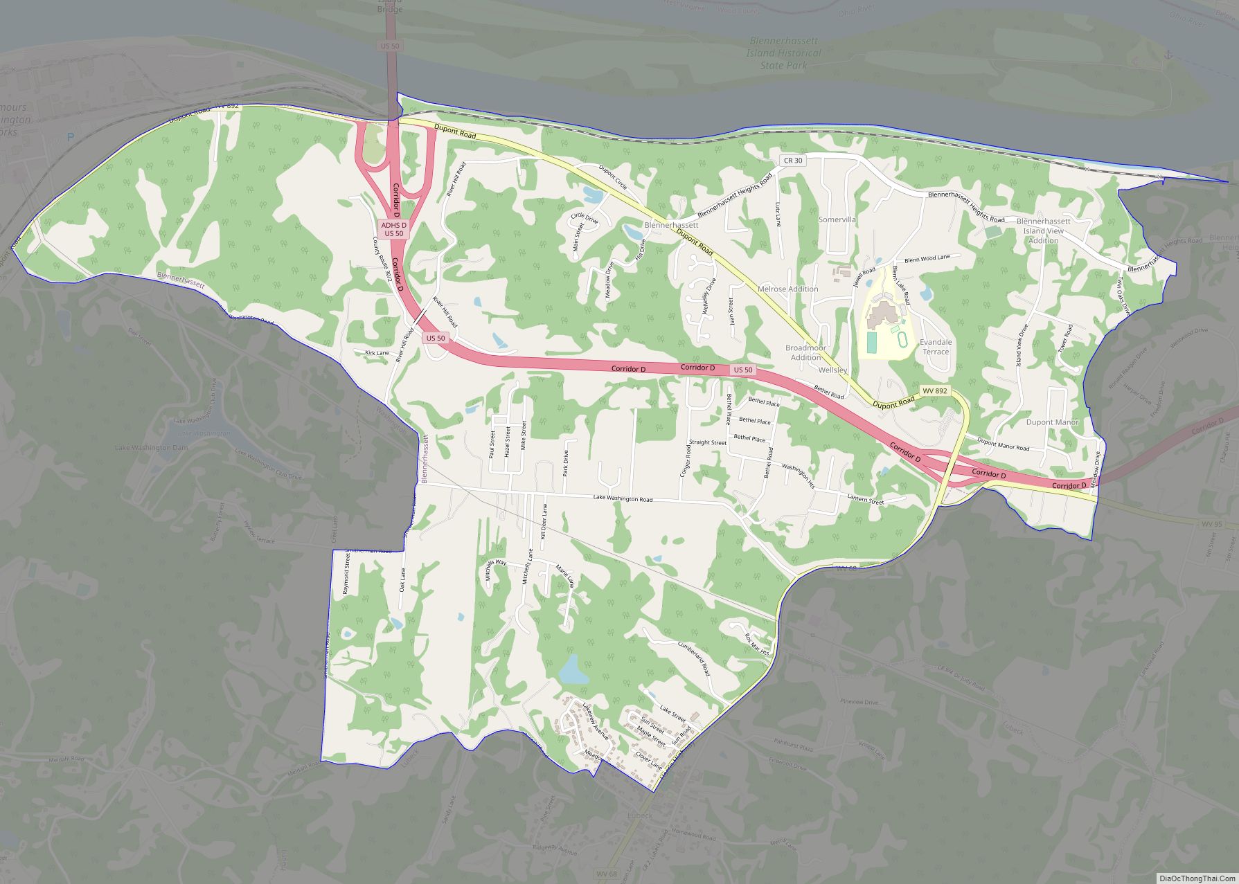
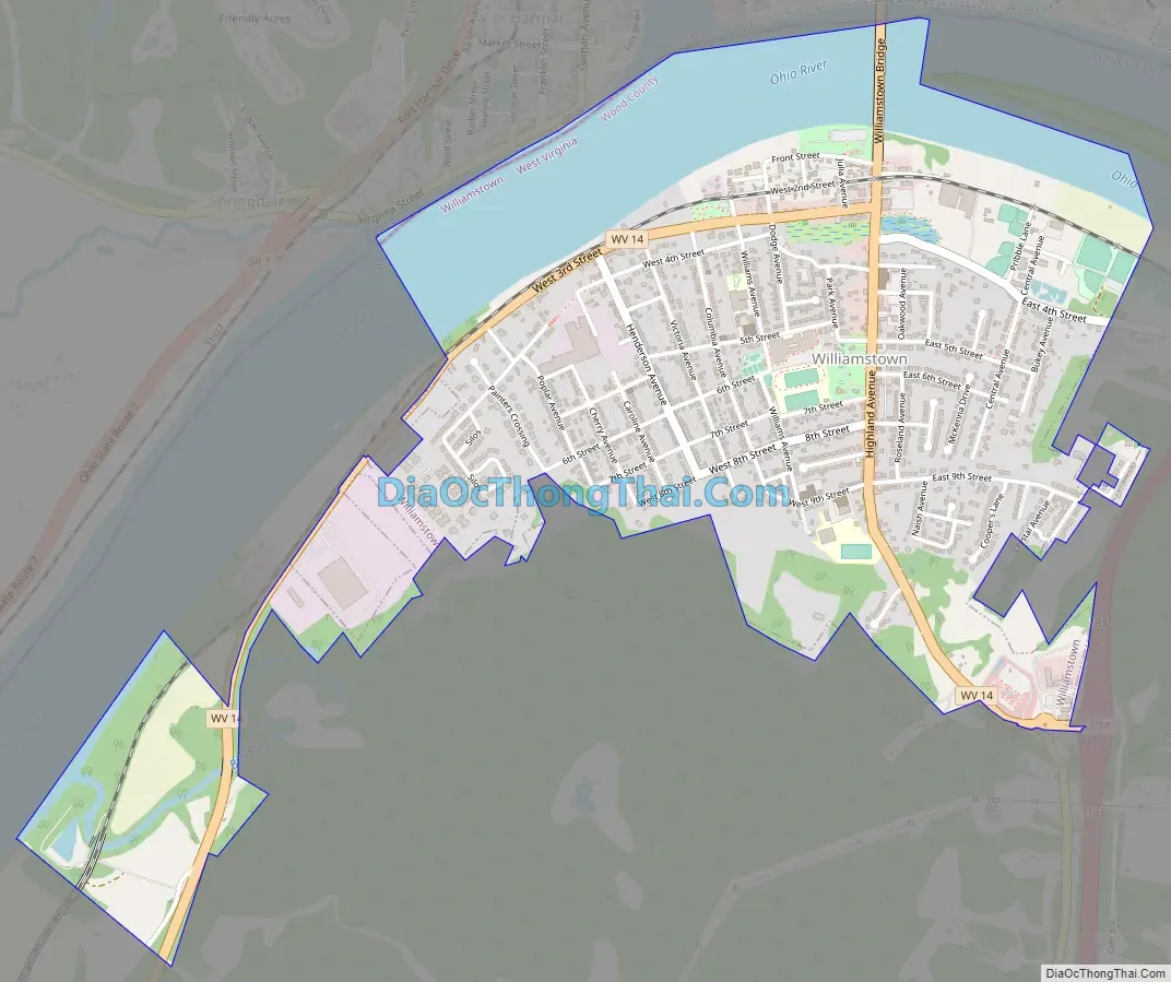
Williamstown Road Map
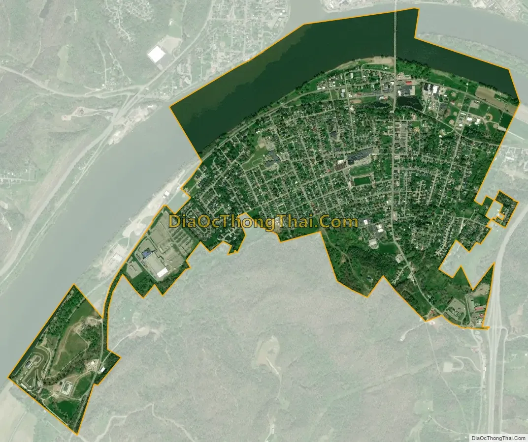
Williamstown city Satellite Map
Geography
Williamstown is located at 39°23′58″N 81°27′2″W / 39.39944°N 81.45056°W / 39.39944; -81.45056 (39.399574, −81.450558).
According to the United States Census Bureau, the city has a total area of 1.79 square miles (4.64 km), of which 1.38 square miles (3.57 km) is land and 0.41 square miles (1.06 km) is water.
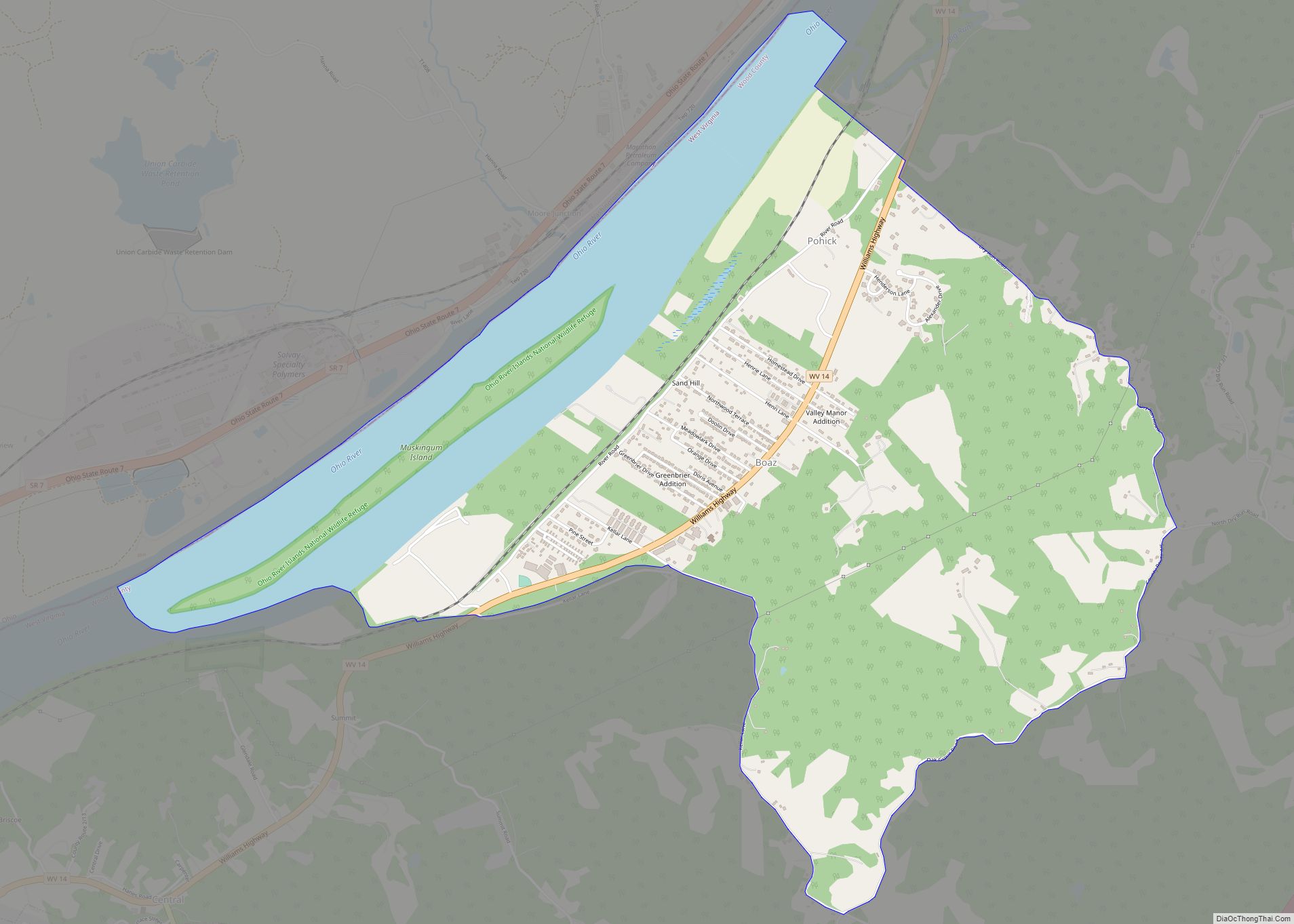
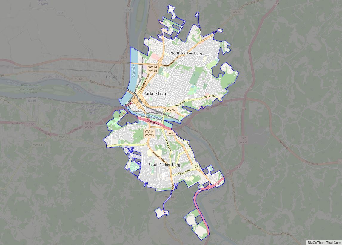
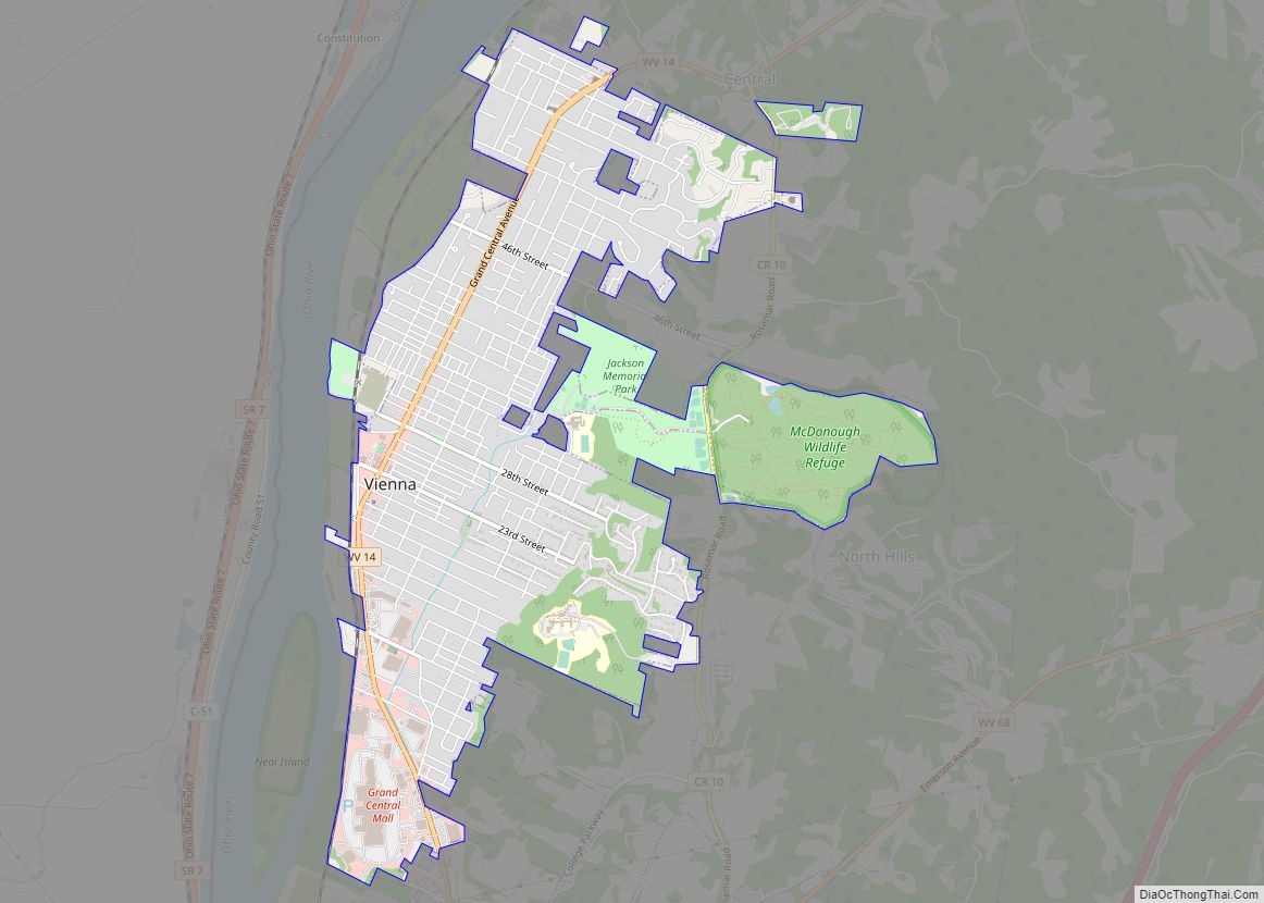
Williamstown is bordered by Marietta, Ohio to the west of the city across the Ohio River and Boaz, WV to the south on WV Route 14. The city is approximately 14 miles north of Parkersburg, WV. Interstate 77 runs through the northeastern tip of the city.
Climate
The climate in this area is characterized by relatively high temperatures and evenly distributed precipitation throughout the year. According to the Köppen Climate Classification system, Williamstown has a Humid continental climate, abbreviated “Cfa” on climate maps.
See also
Map of West Virginia State and its subdivision:- Barbour
- Berkeley
- Boone
- Braxton
- Brooke
- Cabell
- Calhoun
- Clay
- Doddridge
- Fayette
- Gilmer
- Grant
- Greenbrier
- Hampshire
- Hancock
- Hardy
- Harrison
- Jackson
- Jefferson
- Kanawha
- Lewis
- Lincoln
- Logan
- Marion
- Marshall
- Mason
- McDowell
- Mercer
- Mineral
- Mingo
- Monongalia
- Monroe
- Morgan
- Nicholas
- Ohio
- Pendleton
- Pleasants
- Pocahontas
- Preston
- Putnam
- Raleigh
- Randolph
- Ritchie
- Roane
- Summers
- Taylor
- Tucker
- Tyler
- Upshur
- Wayne
- Webster
- Wetzel
- Wirt
- Wood
- Wyoming
- Alabama
- Alaska
- Arizona
- Arkansas
- California
- Colorado
- Connecticut
- Delaware
- District of Columbia
- Florida
- Georgia
- Hawaii
- Idaho
- Illinois
- Indiana
- Iowa
- Kansas
- Kentucky
- Louisiana
- Maine
- Maryland
- Massachusetts
- Michigan
- Minnesota
- Mississippi
- Missouri
- Montana
- Nebraska
- Nevada
- New Hampshire
- New Jersey
- New Mexico
- New York
- North Carolina
- North Dakota
- Ohio
- Oklahoma
- Oregon
- Pennsylvania
- Rhode Island
- South Carolina
- South Dakota
- Tennessee
- Texas
- Utah
- Vermont
- Virginia
- Washington
- West Virginia
- Wisconsin
- Wyoming