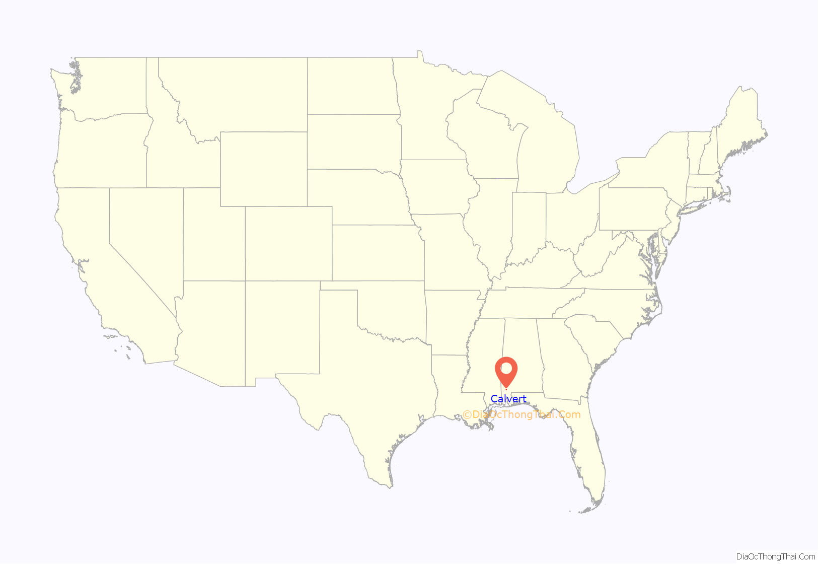
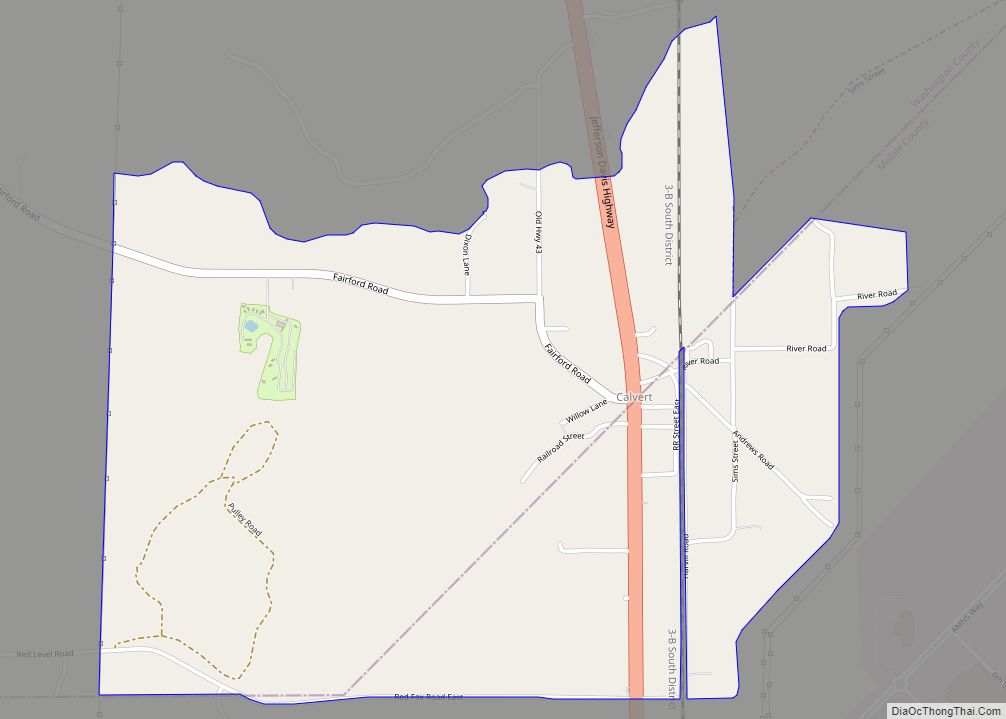
Calvert is an unincorporated community and census-designated place (CDP) in Mobile and Washington counties, Alabama, United States. It is located in the extreme northeast corner of Mobile County and southeast corner of Washington County near the Tombigbee River, along U.S. Route 43. As of the 2020 census, the population of Calvert was 255.
German technology conglomerate ThyssenKrupp broke ground on a US$4.65 billion stainless and carbon steel processing facility in Calvert in 2007. The facility became operational in July 2010. ThyssenKrupp’s stainless steel division, Inoxum, including the stainless portion of the Calvert plant, was sold to Finnish stainless steel company Outokumpu in 2012. The remaining portion of the ThyssenKrupp plant, with a production capacity of 5.3 million metric tons that includes a hot strip mill, cold roll mill and four coating lines, was purchased by a 50/50 joint partnership of ArcelorMittal and Nippon Steel in February 2014 for $1.5 billion and renamed AM/NS Calvert. It is the region’s 2nd largest industrial employer.
| Name: | Calvert CDP |
|---|---|
| LSAD Code: | 57 |
| LSAD Description: | CDP (suffix) |
| State: | Alabama |
| County: | Mobile County, Washington County |
| Elevation: | 46 ft (14 m) |
| Total Area: | 2.36 sq mi (6.10 km²) |
| Land Area: | 2.34 sq mi (6.06 km²) |
| Water Area: | 0.02 sq mi (0.05 km²) |
| Total Population: | 255 |
| Population Density: | 109.07/sq mi (42.11/km²) |
| ZIP code: | 36513 |
| Area code: | 251 |
| FIPS code: | 0111488 |
Online Interactive Map
Click on ![]() to view map in "full screen" mode.
to view map in "full screen" mode.
Calvert location map. Where is Calvert CDP?
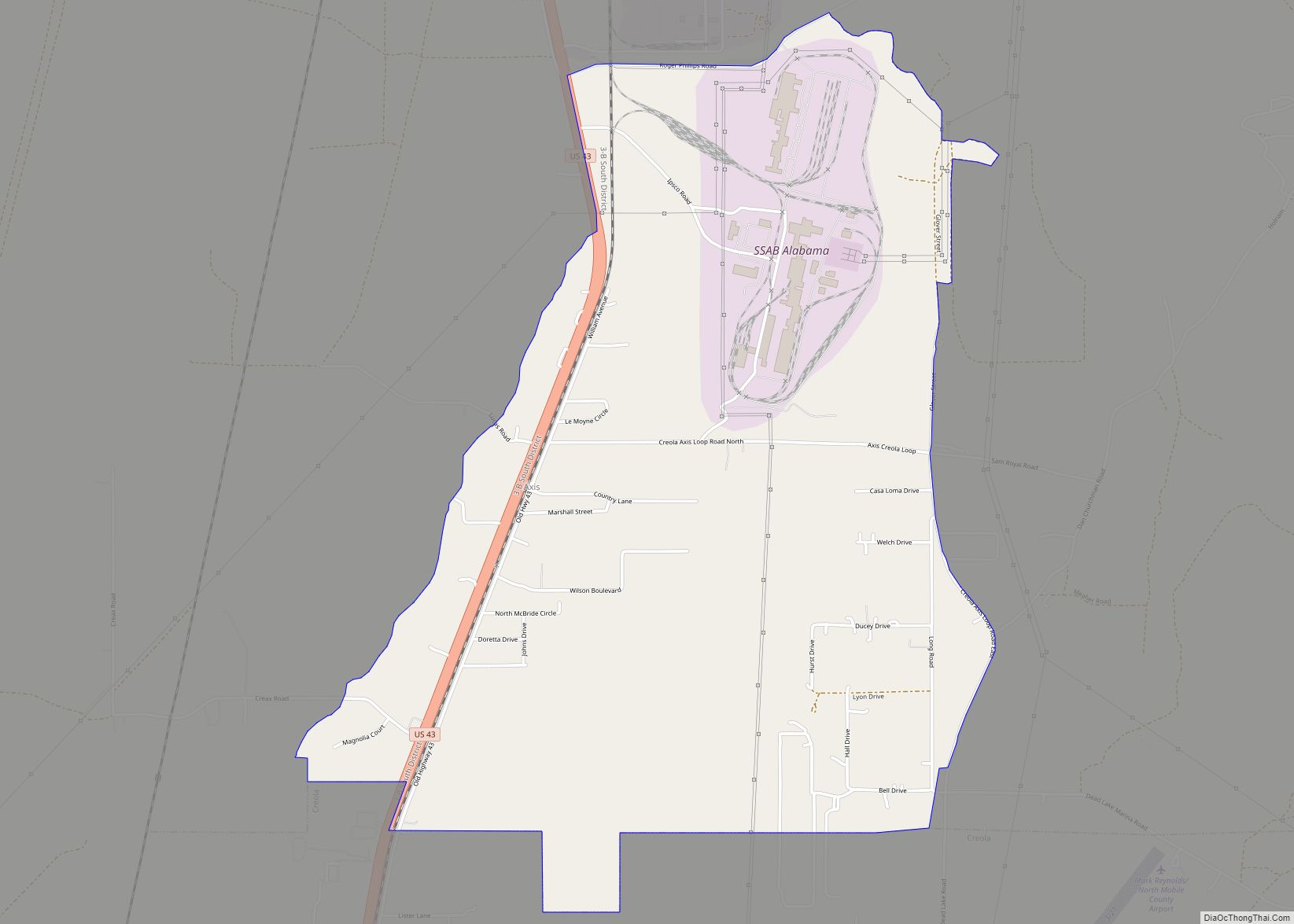
Calvert Road Map
Calvert city Satellite Map
See also
Map of Alabama State and its subdivision:- Autauga
- Baldwin
- Barbour
- Bibb
- Blount
- Bullock
- Butler
- Calhoun
- Chambers
- Cherokee
- Chilton
- Choctaw
- Clarke
- Clay
- Cleburne
- Coffee
- Colbert
- Conecuh
- Coosa
- Covington
- Crenshaw
- Cullman
- Dale
- Dallas
- De Kalb
- Elmore
- Escambia
- Etowah
- Fayette
- Franklin
- Geneva
- Greene
- Hale
- Henry
- Houston
- Jackson
- Jefferson
- Lamar
- Lauderdale
- Lawrence
- Lee
- Limestone
- Lowndes
- Macon
- Madison
- Marengo
- Marion
- Marshall
- Mobile
- Monroe
- Montgomery
- Morgan
- Perry
- Pickens
- Pike
- Randolph
- Russell
- Saint Clair
- Shelby
- Sumter
- Talladega
- Tallapoosa
- Tuscaloosa
- Walker
- Washington
- Wilcox
- Winston
- Alabama
- Alaska
- Arizona
- Arkansas
- California
- Colorado
- Connecticut
- Delaware
- District of Columbia
- Florida
- Georgia
- Hawaii
- Idaho
- Illinois
- Indiana
- Iowa
- Kansas
- Kentucky
- Louisiana
- Maine
- Maryland
- Massachusetts
- Michigan
- Minnesota
- Mississippi
- Missouri
- Montana
- Nebraska
- Nevada
- New Hampshire
- New Jersey
- New Mexico
- New York
- North Carolina
- North Dakota
- Ohio
- Oklahoma
- Oregon
- Pennsylvania
- Rhode Island
- South Carolina
- South Dakota
- Tennessee
- Texas
- Utah
- Vermont
- Virginia
- Washington
- West Virginia
- Wisconsin
- Wyoming
