Dutton is a town in Jackson County, Alabama, United States. It was incorporated in 1963. As of the 2010 census, the population of the town was 315, up from 310 in 2000. Dutton is located atop Sand Mountain.
| Name: | Dutton town |
|---|---|
| LSAD Code: | 43 |
| LSAD Description: | town (suffix) |
| State: | Alabama |
| County: | Jackson County |
| Elevation: | 1,368 ft (417 m) |
| Total Area: | 0.86 sq mi (2.24 km²) |
| Land Area: | 0.86 sq mi (2.24 km²) |
| Water Area: | 0.00 sq mi (0.00 km²) |
| Total Population: | 330 |
| Population Density: | 381.94/sq mi (147.47/km²) |
| ZIP code: | 35744 |
| Area code: | 256 |
| FIPS code: | 0121952 |
| GNISfeature ID: | 0117699 |
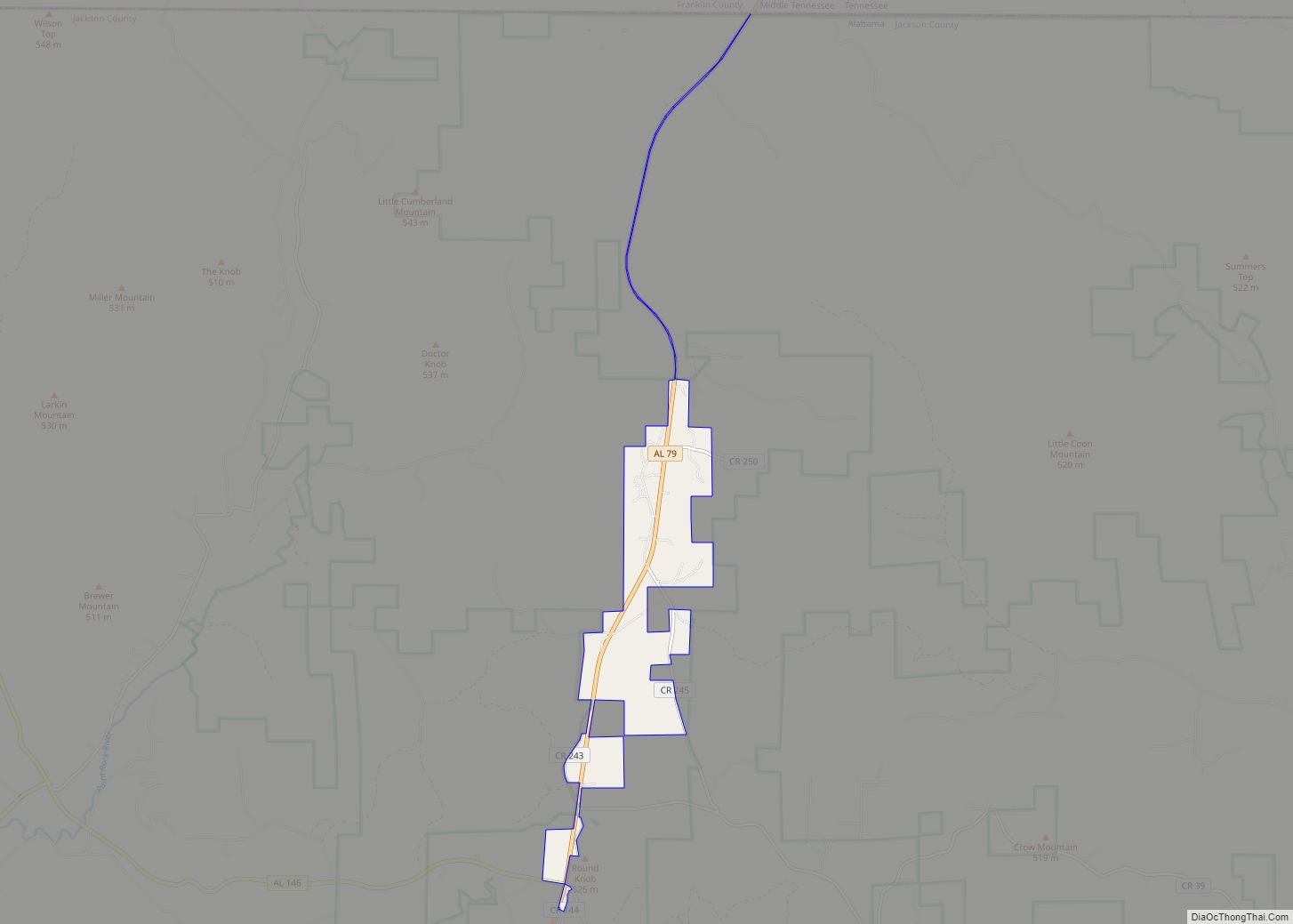
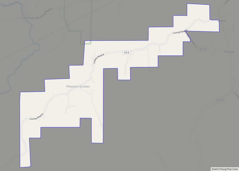
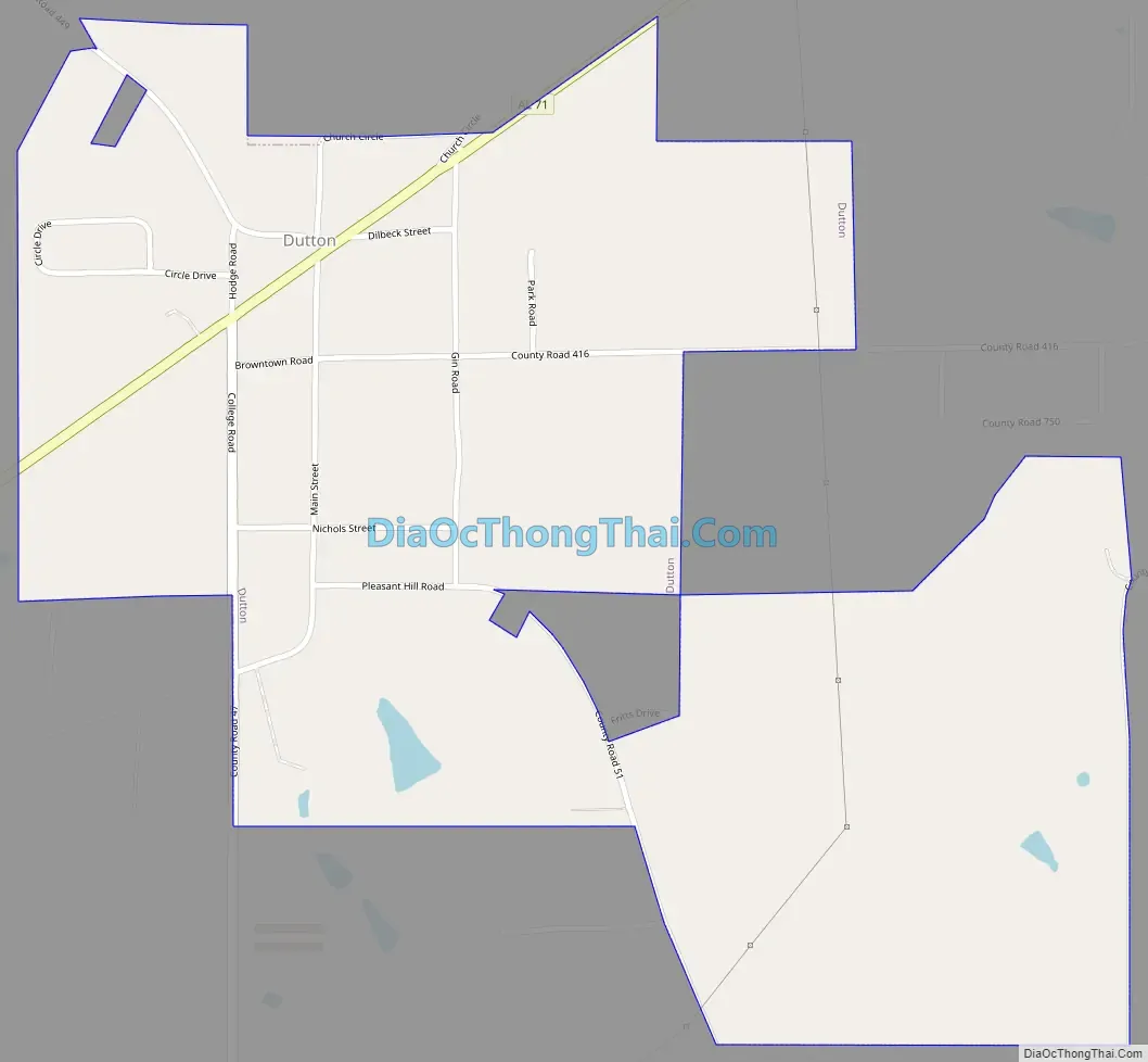
Online Interactive Map
Click on ![]() to view map in "full screen" mode.
to view map in "full screen" mode.
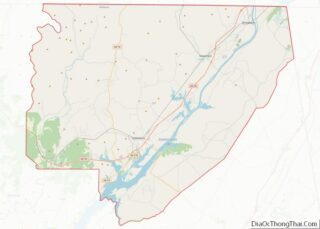
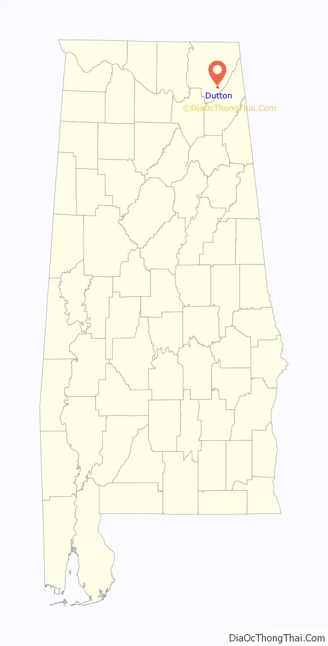
Dutton location map. Where is Dutton town?

History
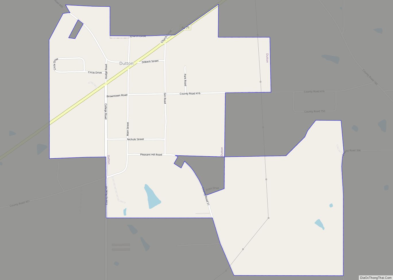
Dutton was founded in 1888, and was initially known by several different names, including “Press,” “Barnes,” “Callahan,” and “Fern Hill.” When urged by the U.S. Postal Service to choose a permanent name in 1896, the town chose “Dutton” in honor of a prominent local businessman.
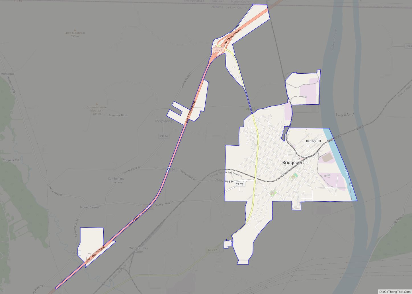
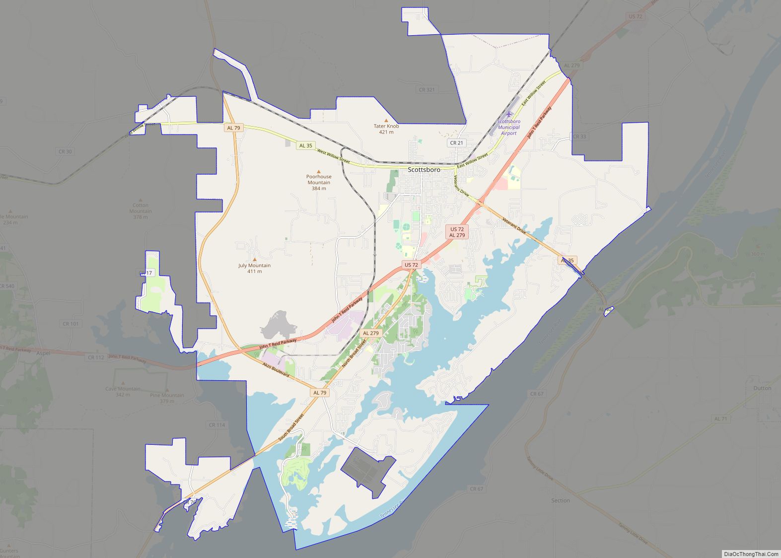
Dutton Road Map
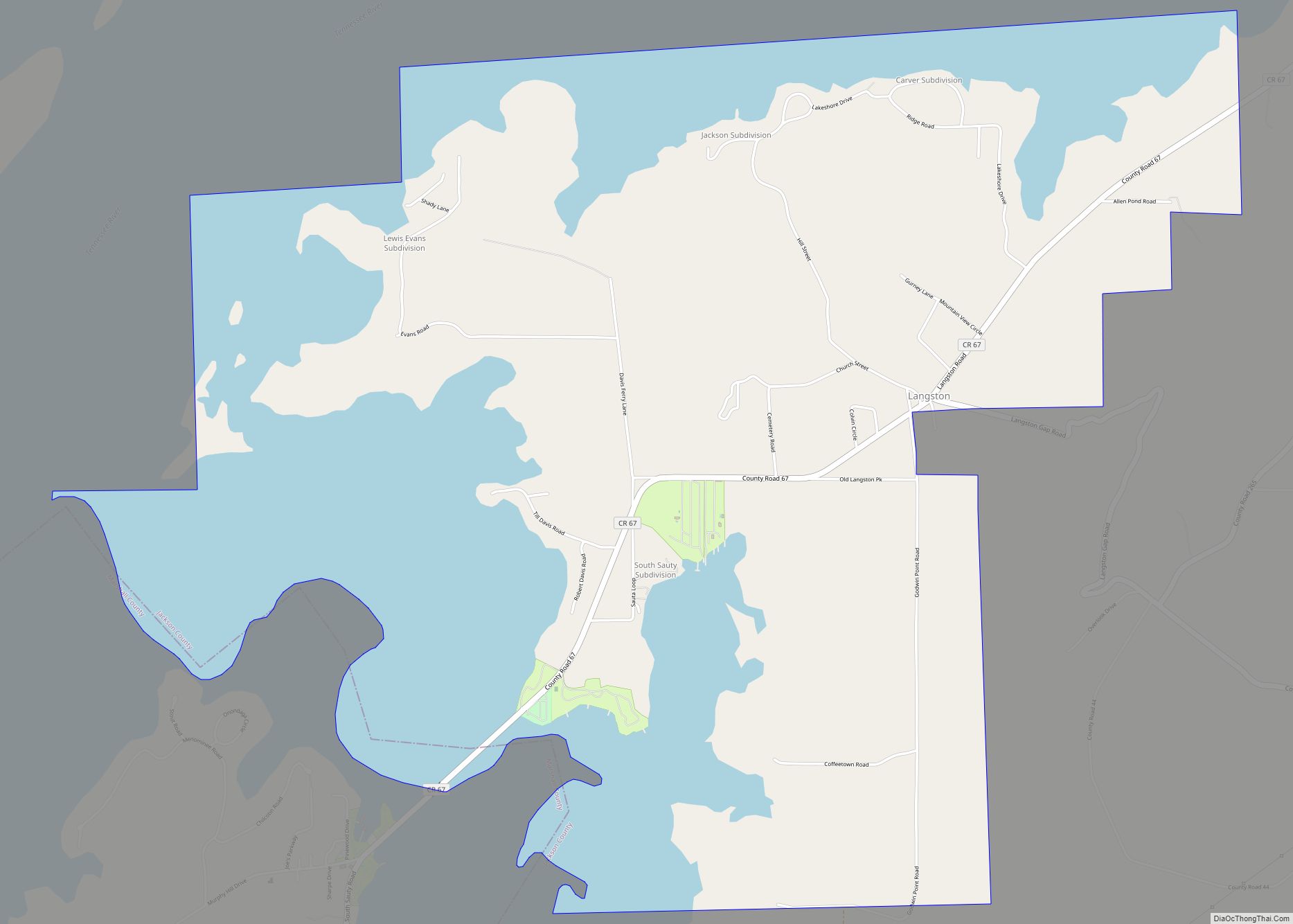
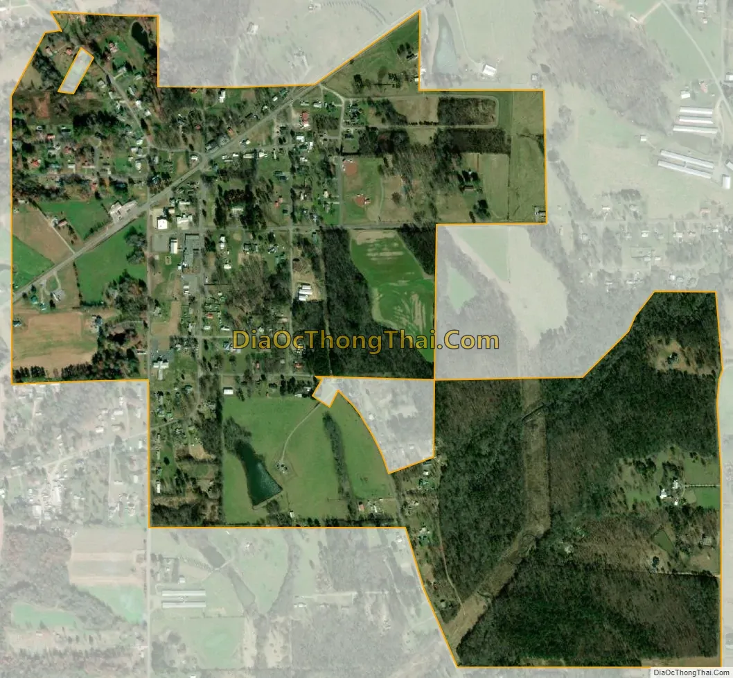
Dutton city Satellite Map
Geography
Dutton is located at 34°36′28″N 85°54′56″W / 34.60778°N 85.91556°W / 34.60778; -85.91556 (34.607639, -85.915563). The town is situated along State Route 71 between Section and Pisgah, near the western edge of Sand Mountain.
According to the U.S. Census Bureau, the town has a total area of 0.9 square miles (2.3 km), all land.
See also
Map of Alabama State and its subdivision:- Autauga
- Baldwin
- Barbour
- Bibb
- Blount
- Bullock
- Butler
- Calhoun
- Chambers
- Cherokee
- Chilton
- Choctaw
- Clarke
- Clay
- Cleburne
- Coffee
- Colbert
- Conecuh
- Coosa
- Covington
- Crenshaw
- Cullman
- Dale
- Dallas
- De Kalb
- Elmore
- Escambia
- Etowah
- Fayette
- Franklin
- Geneva
- Greene
- Hale
- Henry
- Houston
- Jackson
- Jefferson
- Lamar
- Lauderdale
- Lawrence
- Lee
- Limestone
- Lowndes
- Macon
- Madison
- Marengo
- Marion
- Marshall
- Mobile
- Monroe
- Montgomery
- Morgan
- Perry
- Pickens
- Pike
- Randolph
- Russell
- Saint Clair
- Shelby
- Sumter
- Talladega
- Tallapoosa
- Tuscaloosa
- Walker
- Washington
- Wilcox
- Winston
- Alabama
- Alaska
- Arizona
- Arkansas
- California
- Colorado
- Connecticut
- Delaware
- District of Columbia
- Florida
- Georgia
- Hawaii
- Idaho
- Illinois
- Indiana
- Iowa
- Kansas
- Kentucky
- Louisiana
- Maine
- Maryland
- Massachusetts
- Michigan
- Minnesota
- Mississippi
- Missouri
- Montana
- Nebraska
- Nevada
- New Hampshire
- New Jersey
- New Mexico
- New York
- North Carolina
- North Dakota
- Ohio
- Oklahoma
- Oregon
- Pennsylvania
- Rhode Island
- South Carolina
- South Dakota
- Tennessee
- Texas
- Utah
- Vermont
- Virginia
- Washington
- West Virginia
- Wisconsin
- Wyoming