Jasper is a city in and the county seat of Walker County, Alabama, United States. Its population was 14,352 as of the 2010 census. Named in honor of Sergeant William Jasper, an American Revolutionary War hero, Jasper was settled around 1815 and incorporated on August 18, 1886.
The first significant growth of the area was in 1886, when the Kansas City, Memphis and Birmingham Railroad and the Sheffield & Birmingham Railroads were completed through Jasper. The population grew from 200 people in 1886 to more than 3,000 in 1890. In a special edition in 1891, the Mountain Eagle stated there were six coal mines, two sandstone quarries, 400 coke ovens, one foundry and machine shop, two saw mills, one brick works, four hotels, and two banks.
| Name: | Jasper city |
|---|---|
| LSAD Code: | 25 |
| LSAD Description: | city (suffix) |
| State: | Alabama |
| County: | Walker County |
| Elevation: | 328 ft (100 m) |
| Total Area: | 29.66 sq mi (76.83 km²) |
| Land Area: | 29.33 sq mi (75.97 km²) |
| Water Area: | 0.33 sq mi (0.86 km²) |
| Total Population: | 14,572 |
| Population Density: | 496.81/sq mi (191.82/km²) |
| ZIP code: | 35501-35504 |
| Area code: | 205, 659 |
| FIPS code: | 0138416 |
| GNISfeature ID: | 0120822 |
| Website: | http://www.jaspercity.com/ |
Online Interactive Map
Click on ![]() to view map in "full screen" mode.
to view map in "full screen" mode.
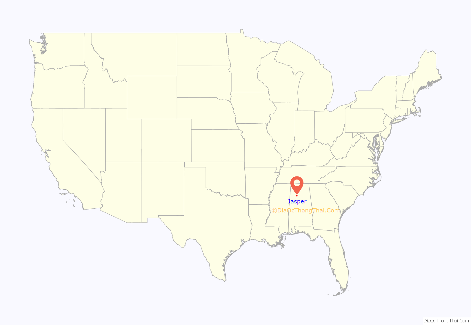
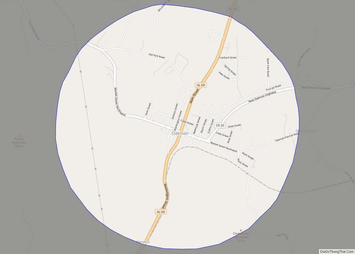
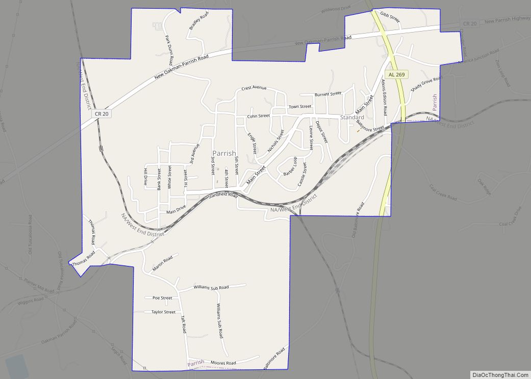
Jasper location map. Where is Jasper city?
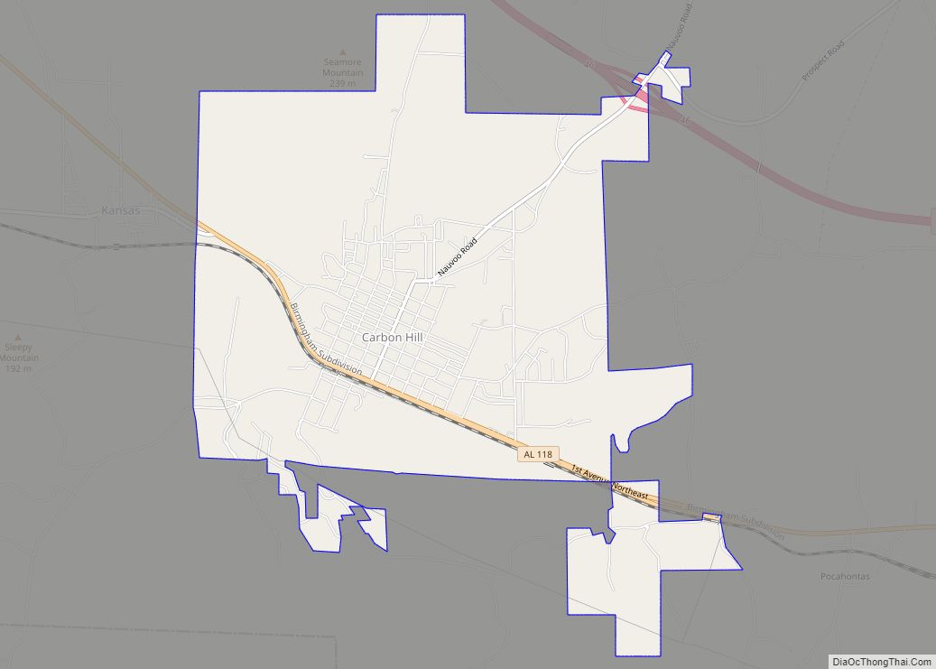
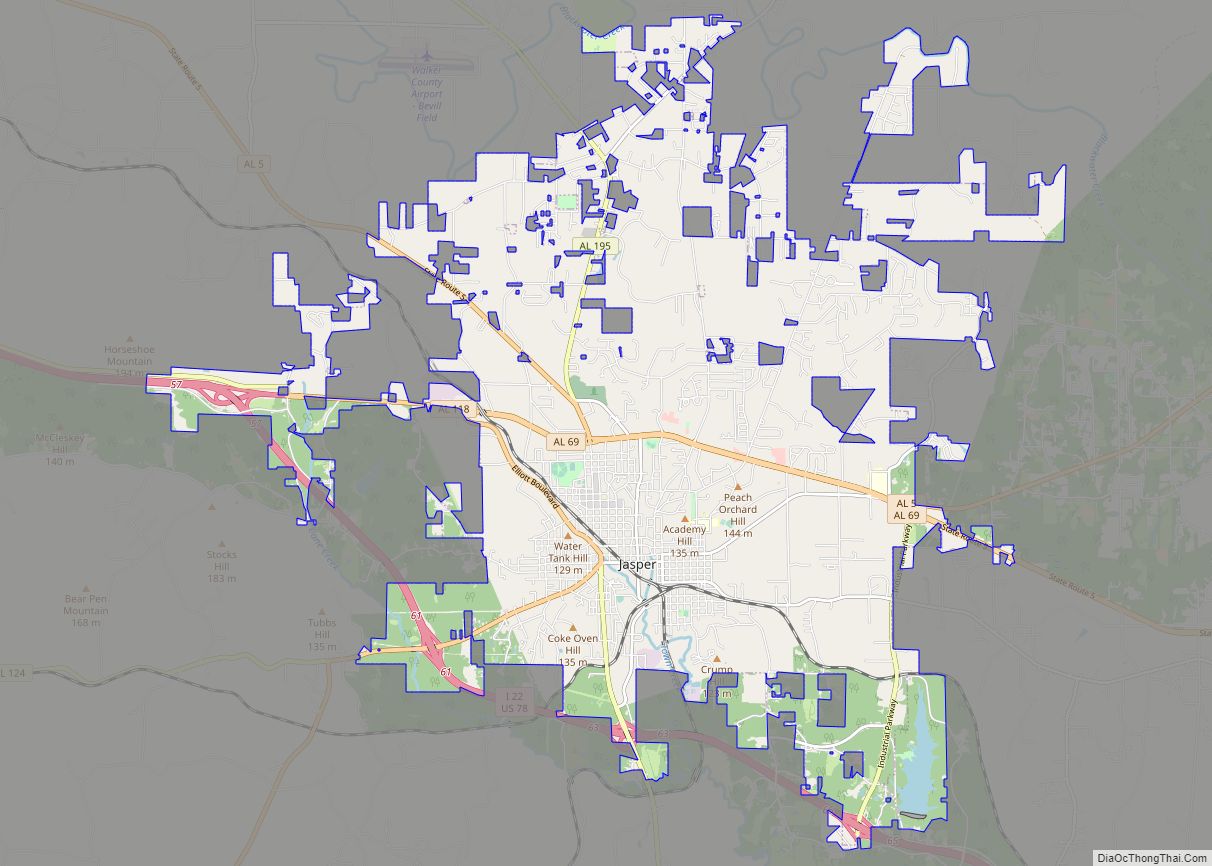
Jasper Road Map
Jasper city Satellite Map
Geography
Jasper is located at 33°50′32″N 87°16′38″W / 33.84222°N 87.27722°W / 33.84222; -87.27722 (33.842347, -87.277174). According to the U.S. Census Bureau, the city has a total area of 26.9 square miles (70 km), of which 26.9 square miles (70 km) is land and 0.04% is water.
Climate
See also
Map of Alabama State and its subdivision:- Autauga
- Baldwin
- Barbour
- Bibb
- Blount
- Bullock
- Butler
- Calhoun
- Chambers
- Cherokee
- Chilton
- Choctaw
- Clarke
- Clay
- Cleburne
- Coffee
- Colbert
- Conecuh
- Coosa
- Covington
- Crenshaw
- Cullman
- Dale
- Dallas
- De Kalb
- Elmore
- Escambia
- Etowah
- Fayette
- Franklin
- Geneva
- Greene
- Hale
- Henry
- Houston
- Jackson
- Jefferson
- Lamar
- Lauderdale
- Lawrence
- Lee
- Limestone
- Lowndes
- Macon
- Madison
- Marengo
- Marion
- Marshall
- Mobile
- Monroe
- Montgomery
- Morgan
- Perry
- Pickens
- Pike
- Randolph
- Russell
- Saint Clair
- Shelby
- Sumter
- Talladega
- Tallapoosa
- Tuscaloosa
- Walker
- Washington
- Wilcox
- Winston
- Alabama
- Alaska
- Arizona
- Arkansas
- California
- Colorado
- Connecticut
- Delaware
- District of Columbia
- Florida
- Georgia
- Hawaii
- Idaho
- Illinois
- Indiana
- Iowa
- Kansas
- Kentucky
- Louisiana
- Maine
- Maryland
- Massachusetts
- Michigan
- Minnesota
- Mississippi
- Missouri
- Montana
- Nebraska
- Nevada
- New Hampshire
- New Jersey
- New Mexico
- New York
- North Carolina
- North Dakota
- Ohio
- Oklahoma
- Oregon
- Pennsylvania
- Rhode Island
- South Carolina
- South Dakota
- Tennessee
- Texas
- Utah
- Vermont
- Virginia
- Washington
- West Virginia
- Wisconsin
- Wyoming
