Oakman is a town in Walker County, Alabama, United States. At the 2010 census the population was 789, down from 944 in 2000. Initially named Day (or Day’s) Gap, it was renamed Oakman and incorporated in 1895.
| Name: | Oakman town |
|---|---|
| LSAD Code: | 43 |
| LSAD Description: | town (suffix) |
| State: | Alabama |
| County: | Walker County |
| Elevation: | 341 ft (104 m) |
| Total Area: | 3.09 sq mi (8.00 km²) |
| Land Area: | 3.08 sq mi (7.98 km²) |
| Water Area: | 0.01 sq mi (0.02 km²) |
| Total Population: | 771 |
| Population Density: | 250.16/sq mi (96.60/km²) |
| ZIP code: | 35579 |
| Area code: | 205, 659 |
| FIPS code: | 0155992 |
| GNISfeature ID: | 0152754 |
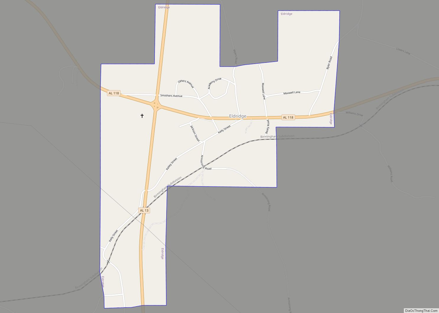
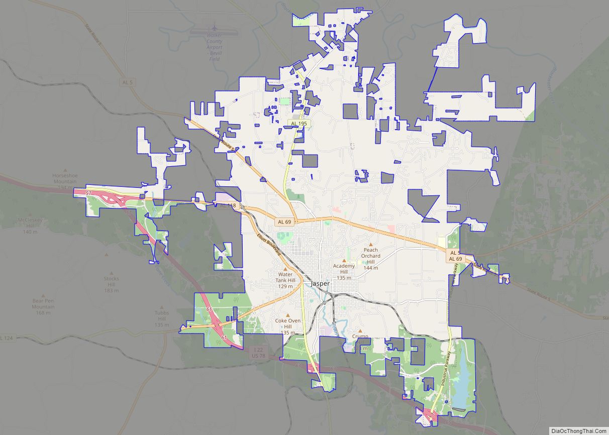
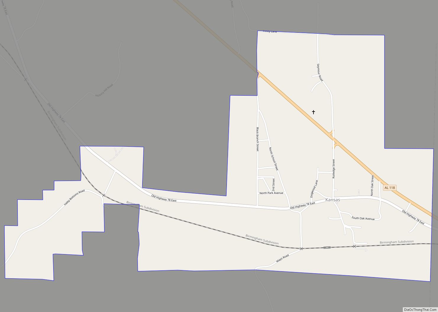
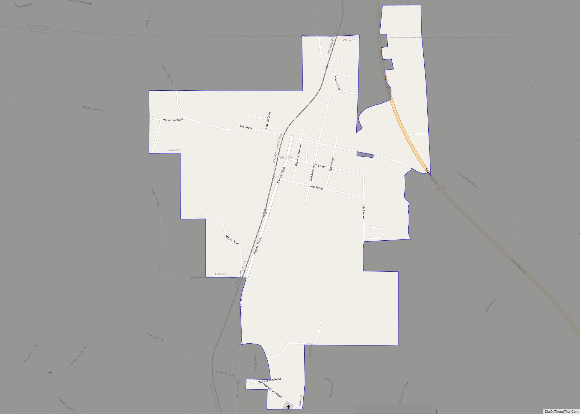
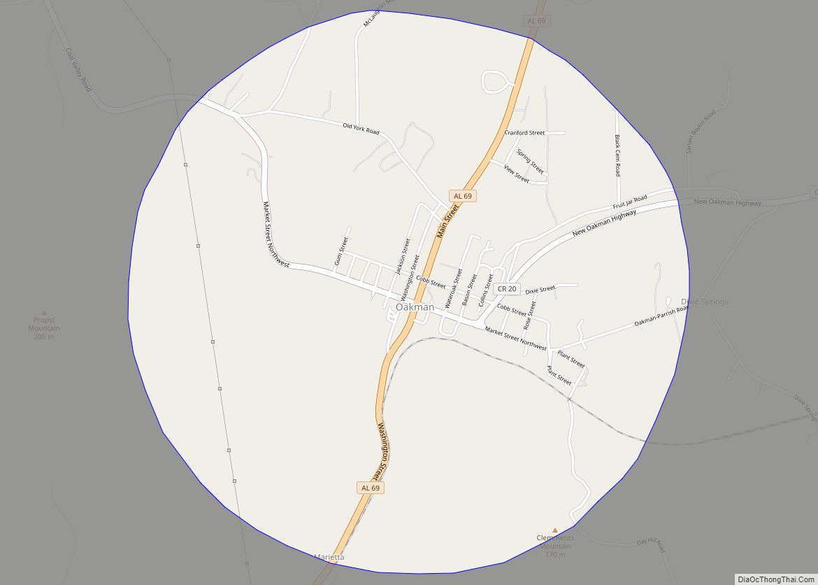
Online Interactive Map
Click on ![]() to view map in "full screen" mode.
to view map in "full screen" mode.
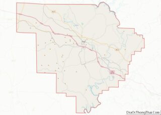
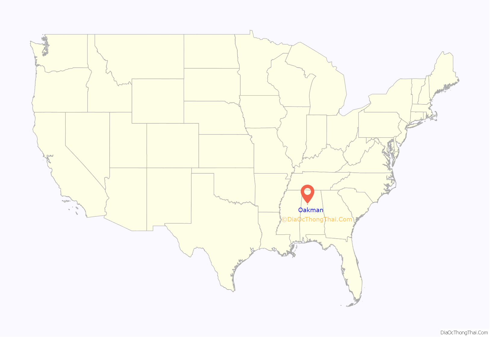
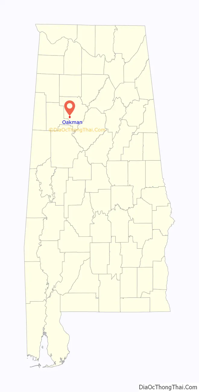
Oakman location map. Where is Oakman town?
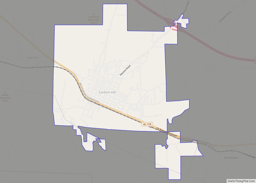
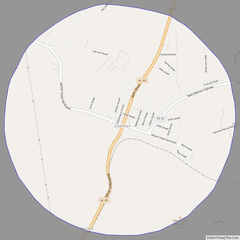
Oakman Road Map
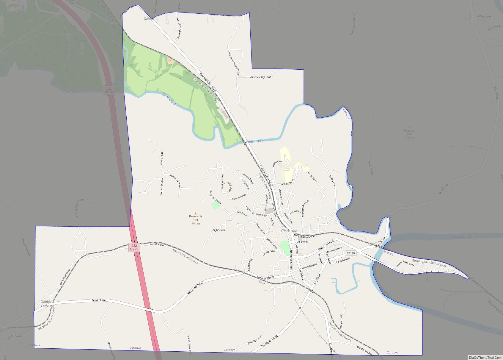
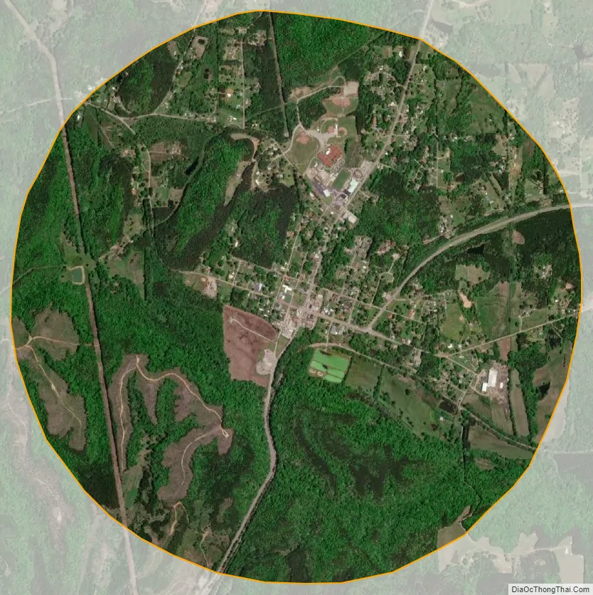
Oakman city Satellite Map
Geography
Oakman is located at 33°42′49″N 87°23′10″W / 33.71361°N 87.38611°W / 33.71361; -87.38611 (33.713594, -87.386111).
According to the U.S. Census Bureau, the town has a total area of 3.1 square miles (8.0 km), all of it land. It is the only town in Alabama with perfectly round city limits.
See also
Map of Alabama State and its subdivision:- Autauga
- Baldwin
- Barbour
- Bibb
- Blount
- Bullock
- Butler
- Calhoun
- Chambers
- Cherokee
- Chilton
- Choctaw
- Clarke
- Clay
- Cleburne
- Coffee
- Colbert
- Conecuh
- Coosa
- Covington
- Crenshaw
- Cullman
- Dale
- Dallas
- De Kalb
- Elmore
- Escambia
- Etowah
- Fayette
- Franklin
- Geneva
- Greene
- Hale
- Henry
- Houston
- Jackson
- Jefferson
- Lamar
- Lauderdale
- Lawrence
- Lee
- Limestone
- Lowndes
- Macon
- Madison
- Marengo
- Marion
- Marshall
- Mobile
- Monroe
- Montgomery
- Morgan
- Perry
- Pickens
- Pike
- Randolph
- Russell
- Saint Clair
- Shelby
- Sumter
- Talladega
- Tallapoosa
- Tuscaloosa
- Walker
- Washington
- Wilcox
- Winston
- Alabama
- Alaska
- Arizona
- Arkansas
- California
- Colorado
- Connecticut
- Delaware
- District of Columbia
- Florida
- Georgia
- Hawaii
- Idaho
- Illinois
- Indiana
- Iowa
- Kansas
- Kentucky
- Louisiana
- Maine
- Maryland
- Massachusetts
- Michigan
- Minnesota
- Mississippi
- Missouri
- Montana
- Nebraska
- Nevada
- New Hampshire
- New Jersey
- New Mexico
- New York
- North Carolina
- North Dakota
- Ohio
- Oklahoma
- Oregon
- Pennsylvania
- Rhode Island
- South Carolina
- South Dakota
- Tennessee
- Texas
- Utah
- Vermont
- Virginia
- Washington
- West Virginia
- Wisconsin
- Wyoming