Pleasant Groves is a town in Jackson County, Alabama, United States. It incorporated on February 17, 1993. As of the 2010 census, the population of the town was 420, down from 447 in 2000.
| Name: | Pleasant Groves town |
|---|---|
| LSAD Code: | 43 |
| LSAD Description: | town (suffix) |
| State: | Alabama |
| County: | Jackson County |
| Total Area: | 3.65 sq mi (9.45 km²) |
| Land Area: | 3.65 sq mi (9.44 km²) |
| Water Area: | 0.00 sq mi (0.01 km²) |
| Total Population: | 426 |
| Population Density: | 116.84/sq mi (45.11/km²) |
| FIPS code: | 0161038 |
Online Interactive Map
Click on ![]() to view map in "full screen" mode.
to view map in "full screen" mode.
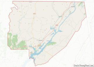
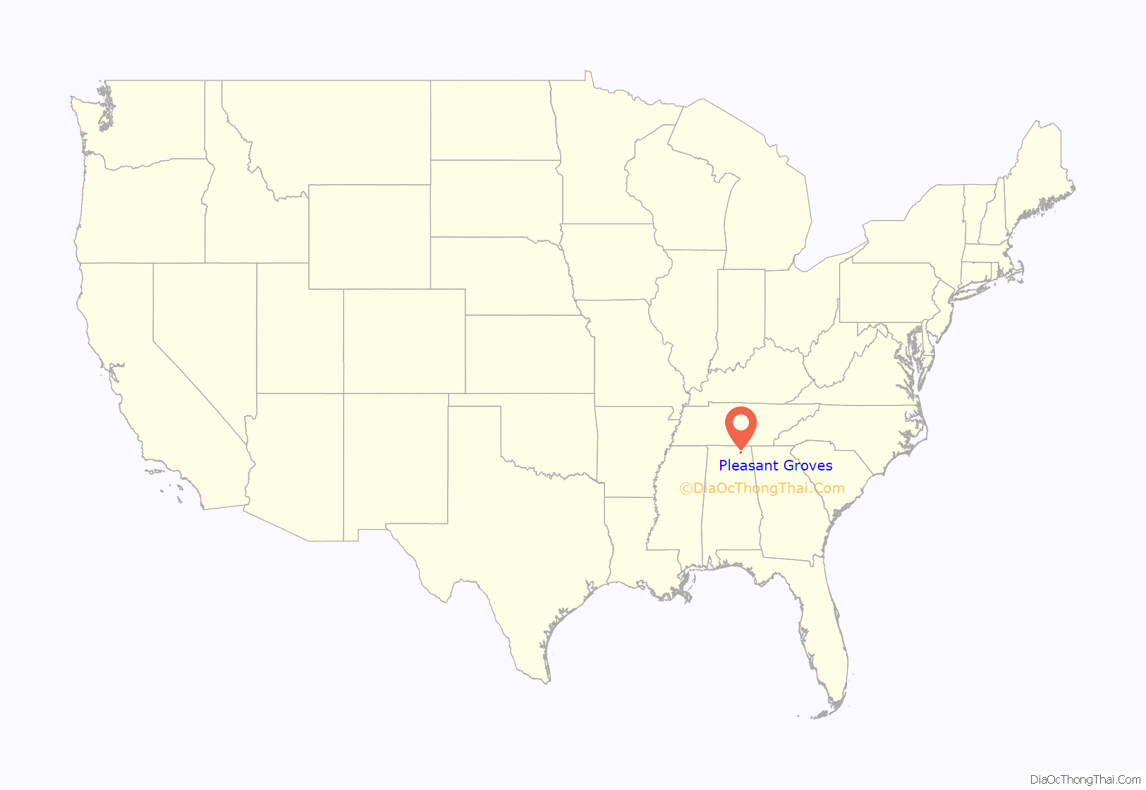
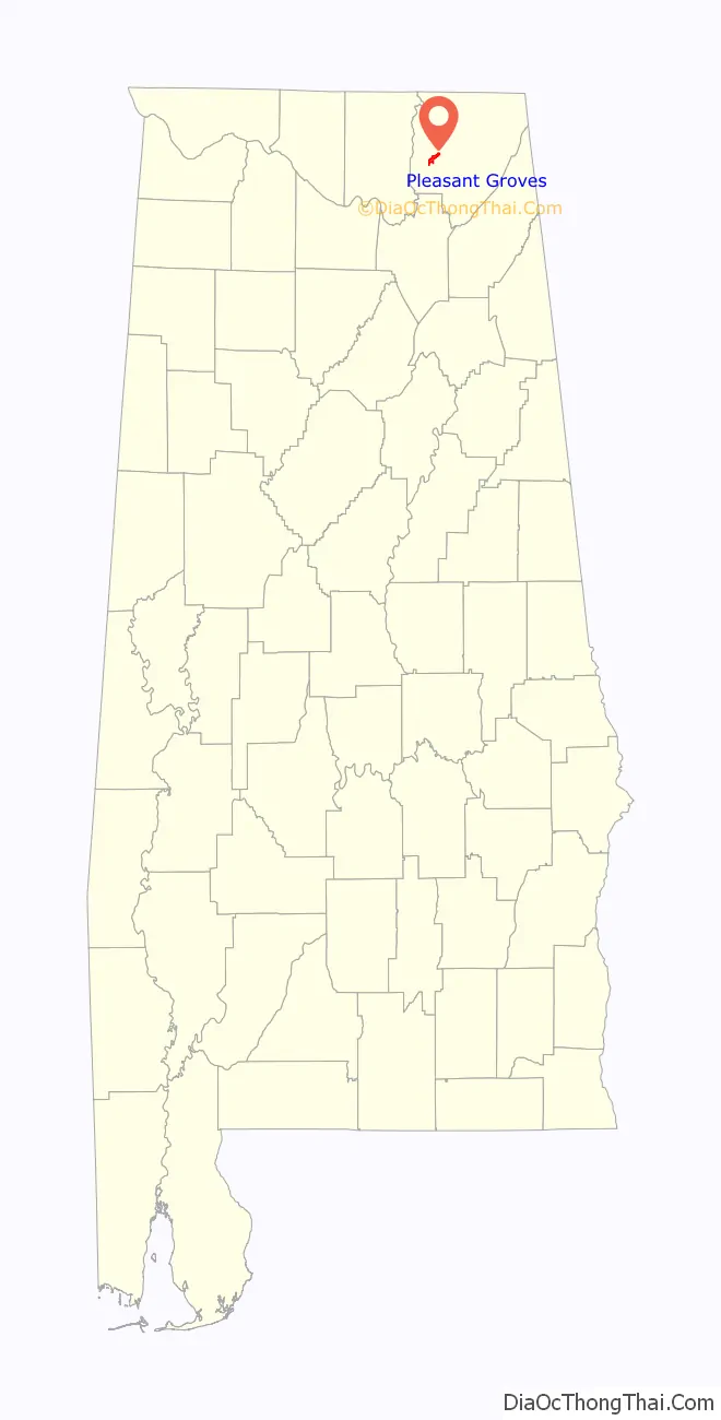
Pleasant Groves location map. Where is Pleasant Groves town?
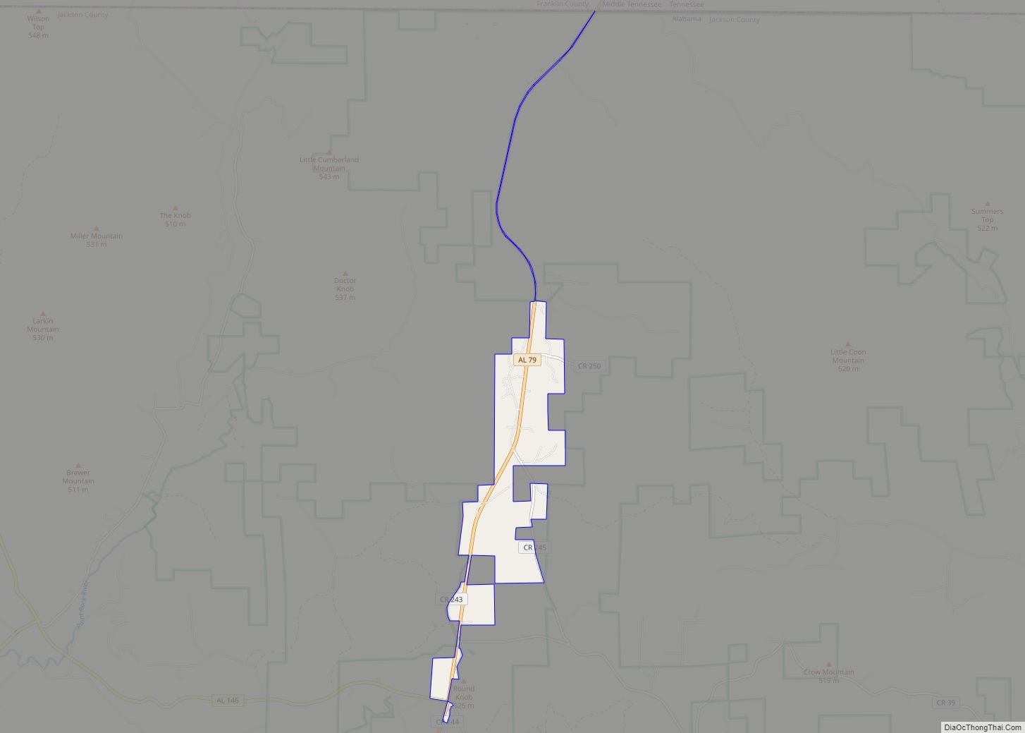
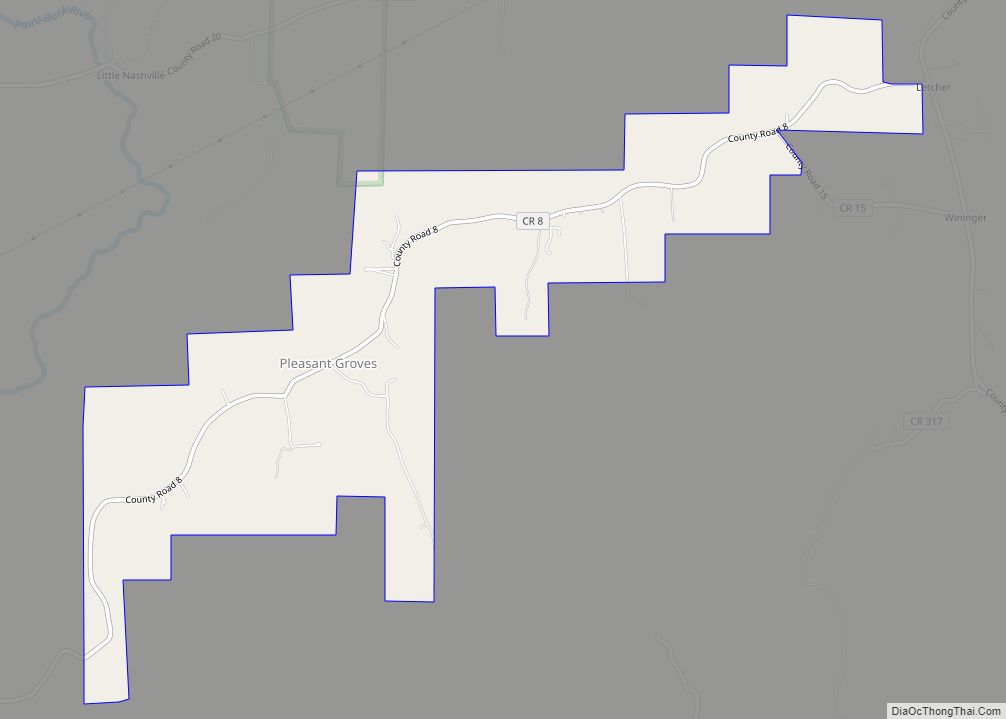
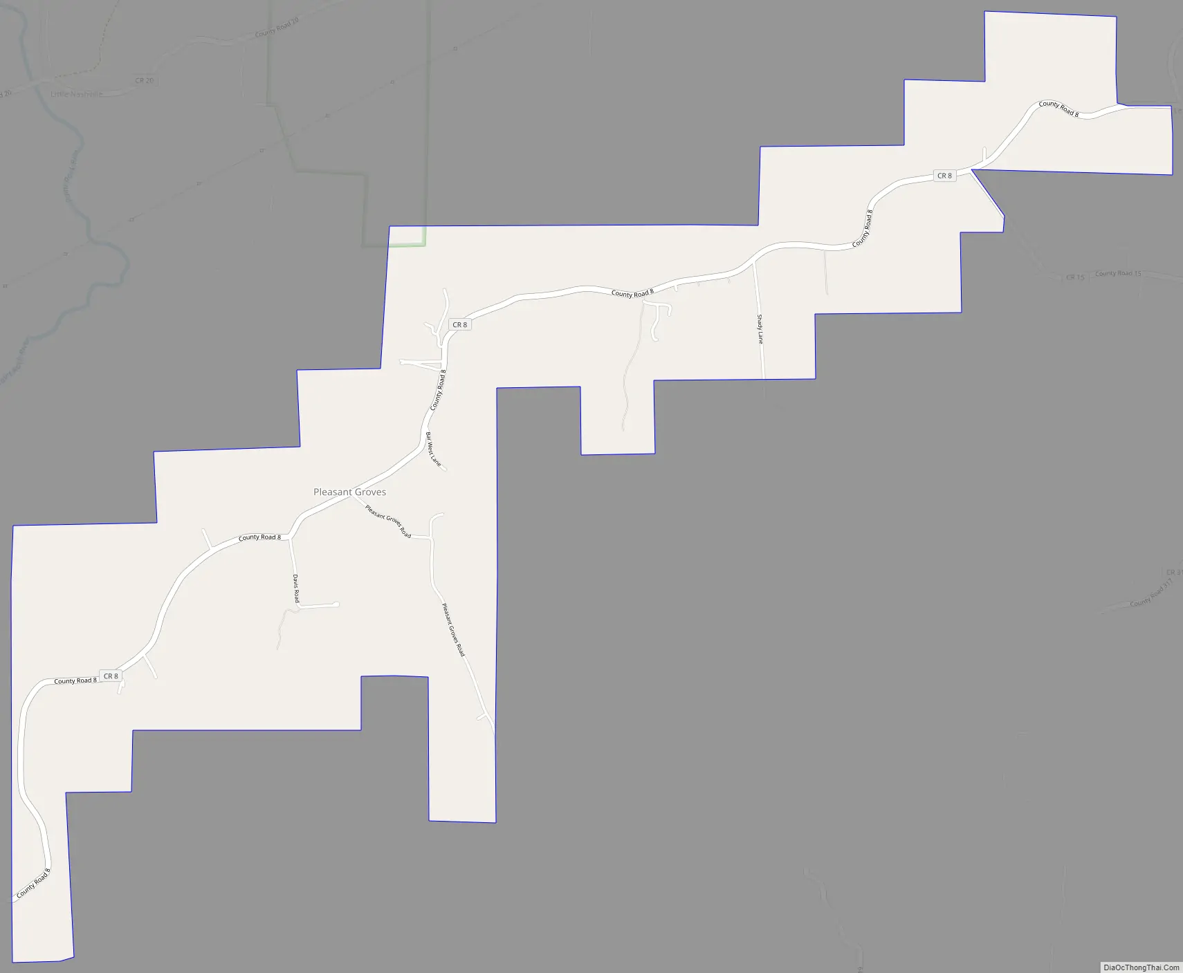
Pleasant Groves Road Map
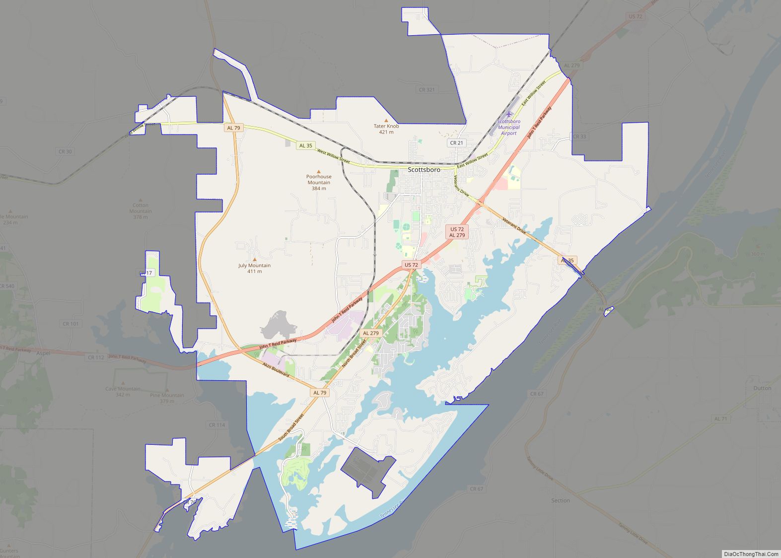
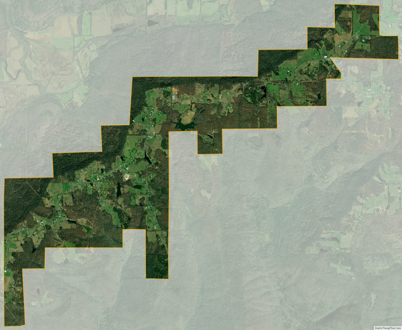
Pleasant Groves city Satellite Map
Geography
Pleasant Groves is located at 34°44’29” North, 86°11’26” West (34.741295, -86.190445). The town is situated on a narrow ridge that extends outward from the Cumberland Plateau in western Jackson County. Woodville lies at the base of the plateau to the southwest, Skyline lies along the plateau to the northeast, and the Paint Rock River flows through the valley to the northwest. County Road 8 is the primary traffic artery in Pleasant Groves.
According to the U.S. Census Bureau, the town has a total area of 3.8 square miles (9.8 km), all land.
See also
Map of Alabama State and its subdivision:- Autauga
- Baldwin
- Barbour
- Bibb
- Blount
- Bullock
- Butler
- Calhoun
- Chambers
- Cherokee
- Chilton
- Choctaw
- Clarke
- Clay
- Cleburne
- Coffee
- Colbert
- Conecuh
- Coosa
- Covington
- Crenshaw
- Cullman
- Dale
- Dallas
- De Kalb
- Elmore
- Escambia
- Etowah
- Fayette
- Franklin
- Geneva
- Greene
- Hale
- Henry
- Houston
- Jackson
- Jefferson
- Lamar
- Lauderdale
- Lawrence
- Lee
- Limestone
- Lowndes
- Macon
- Madison
- Marengo
- Marion
- Marshall
- Mobile
- Monroe
- Montgomery
- Morgan
- Perry
- Pickens
- Pike
- Randolph
- Russell
- Saint Clair
- Shelby
- Sumter
- Talladega
- Tallapoosa
- Tuscaloosa
- Walker
- Washington
- Wilcox
- Winston
- Alabama
- Alaska
- Arizona
- Arkansas
- California
- Colorado
- Connecticut
- Delaware
- District of Columbia
- Florida
- Georgia
- Hawaii
- Idaho
- Illinois
- Indiana
- Iowa
- Kansas
- Kentucky
- Louisiana
- Maine
- Maryland
- Massachusetts
- Michigan
- Minnesota
- Mississippi
- Missouri
- Montana
- Nebraska
- Nevada
- New Hampshire
- New Jersey
- New Mexico
- New York
- North Carolina
- North Dakota
- Ohio
- Oklahoma
- Oregon
- Pennsylvania
- Rhode Island
- South Carolina
- South Dakota
- Tennessee
- Texas
- Utah
- Vermont
- Virginia
- Washington
- West Virginia
- Wisconsin
- Wyoming