Section is a town in Jackson County, Alabama, United States and is included in the Chattanooga-Cleveland-Dalton, TN-GA-AL Combined Statistical Area. As of the 2010 census, the population of the town was 770, an increase of one person (769) from 2000. Section is located on top of Sand Mountain.
| Name: | Section town |
|---|---|
| LSAD Code: | 43 |
| LSAD Description: | town (suffix) |
| State: | Alabama |
| County: | Jackson County |
| Elevation: | 1,348 ft (411 m) |
| Total Area: | 4.57 sq mi (11.84 km²) |
| Land Area: | 4.57 sq mi (11.84 km²) |
| Water Area: | 0.00 sq mi (0.00 km²) |
| Total Population: | 756 |
| Population Density: | 165.35/sq mi (63.84/km²) |
| ZIP code: | 35771 |
| Area code: | 256 |
| FIPS code: | 0169000 |
| GNISfeature ID: | 0153363 |
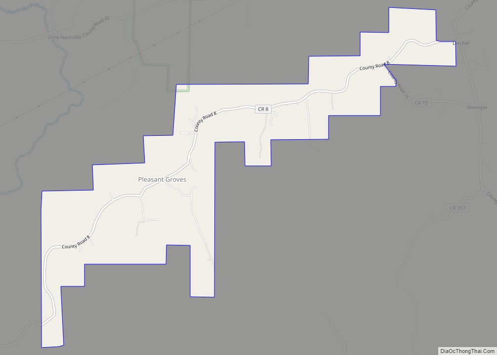
Online Interactive Map
Click on ![]() to view map in "full screen" mode.
to view map in "full screen" mode.
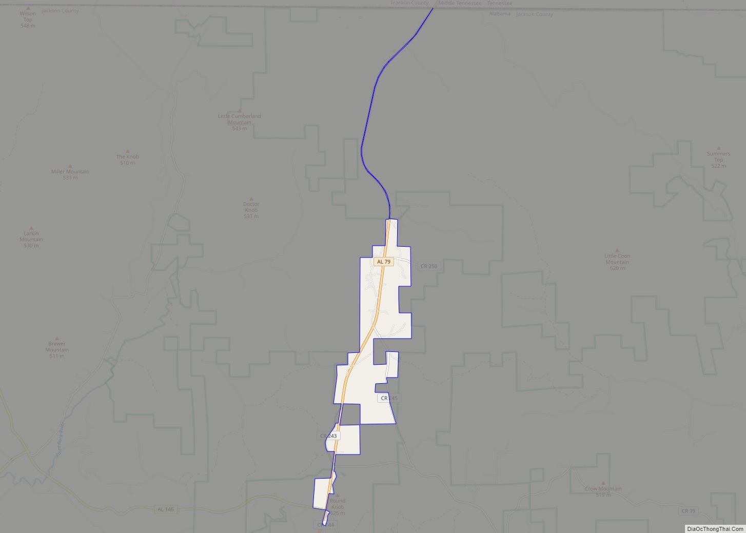
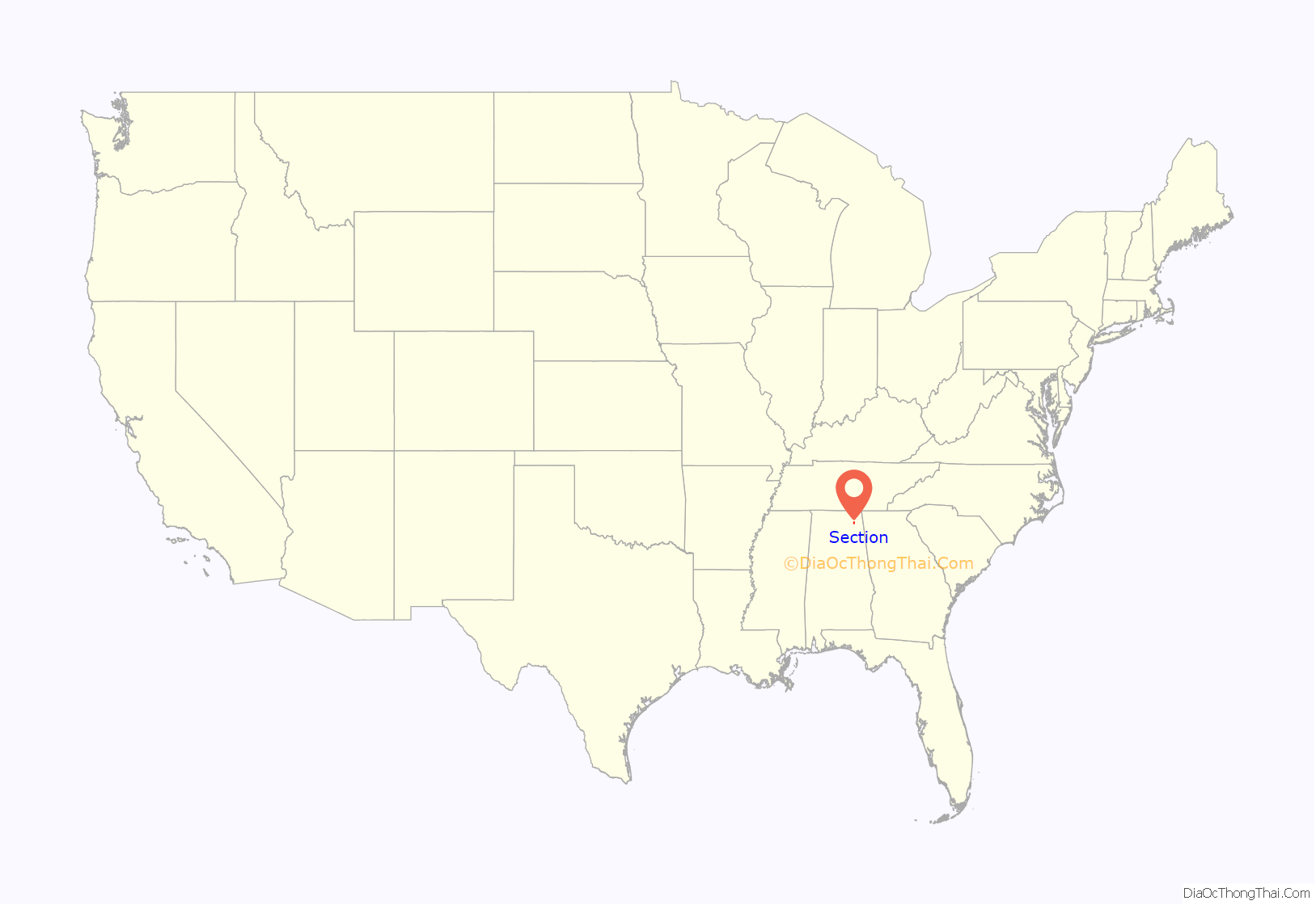
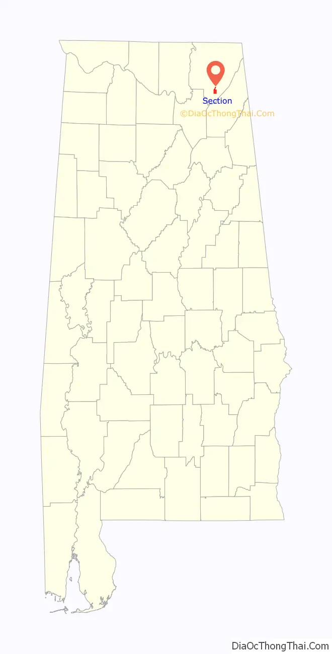
Section location map. Where is Section town?
History
Section is located on land where the Cherokee once hunted and lived. The community was originally known as Mt. Zion when the first post office was established. There were communities such as Kirby’s Creek, Gossets Hollow, and Fern Cliff. These communities came together to form the Town of Section. Pioneer settlers came in 1862 to Section, in large numbers. Settlers were required to live on the land for five years before claiming the property as their own. It became known later as “Section” because it was the location of a square-mile parcel of land, known as the 16th Section, required by the federal government to be set aside in support of public schools. Bort Harrison ran a 6-horsepower, water-powered flour and grist mill in 1886, and the first store in the community was built in 1889. The first school was built in the area before 1890, which was the year it burned. Its successor lasted 25 years before it also burned. Section was cited as having incorporated in 1910, however, on the 1950 U.S. Census rolls, it stated Section incorporated in 1946.
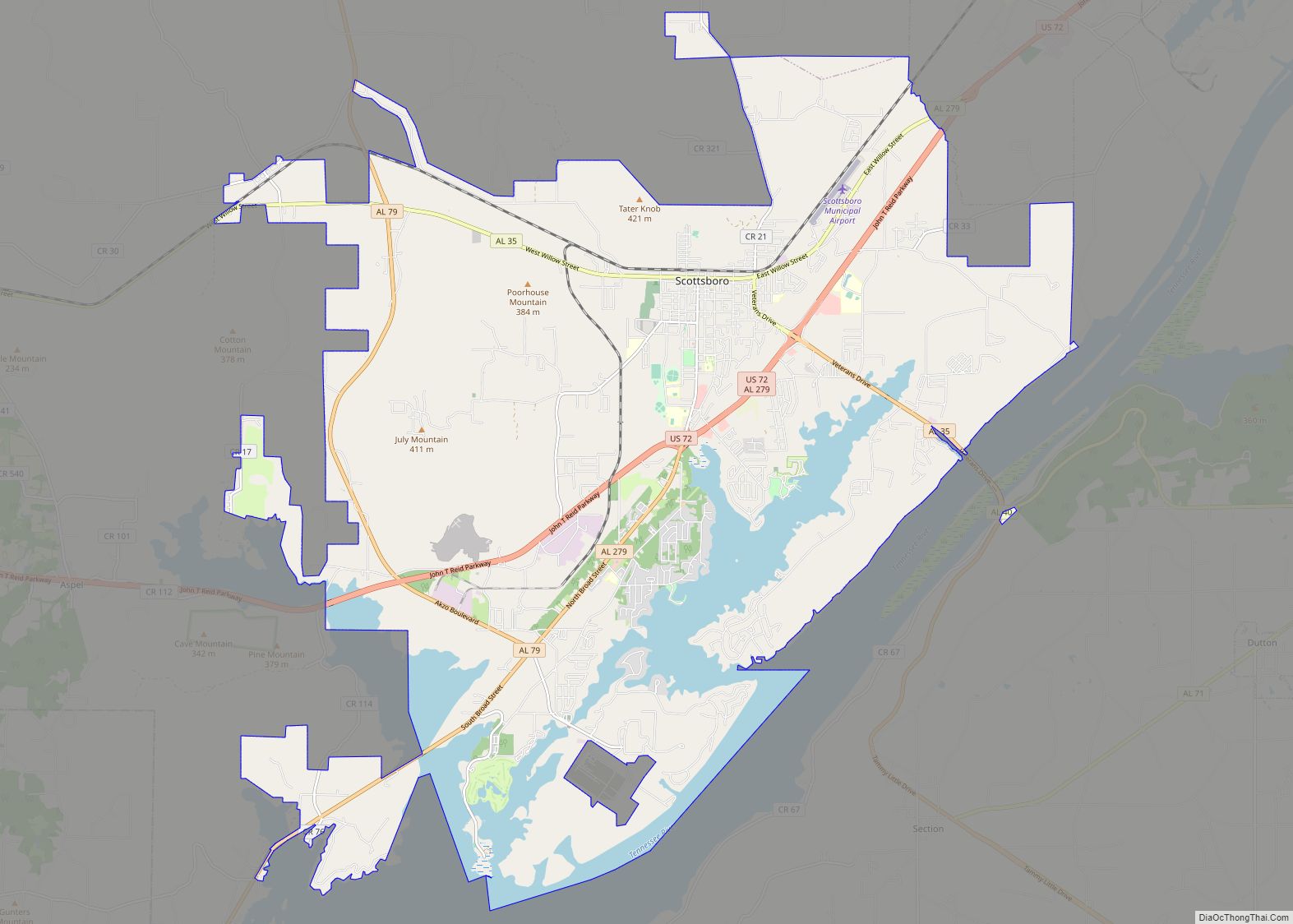
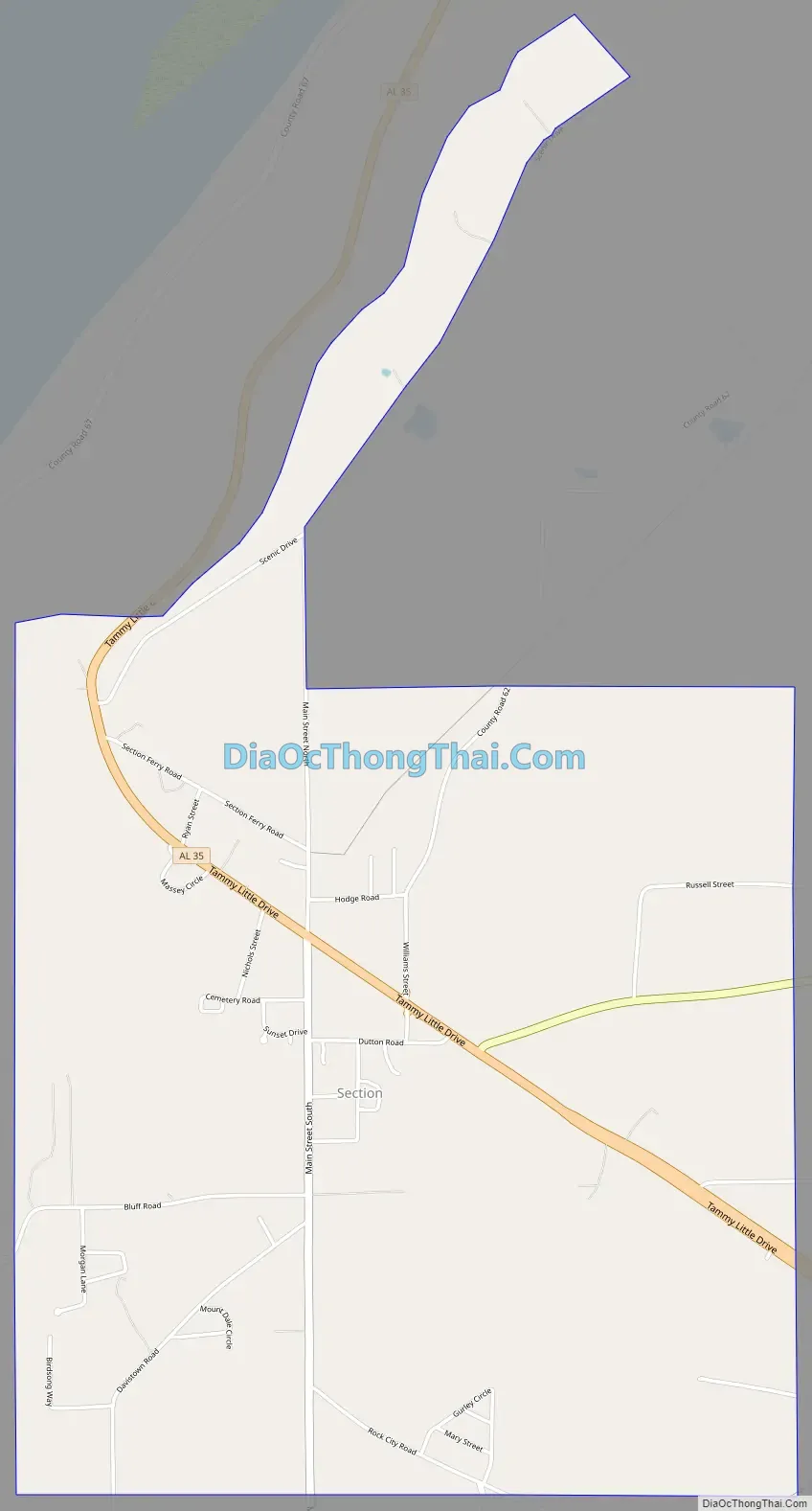
Section Road Map
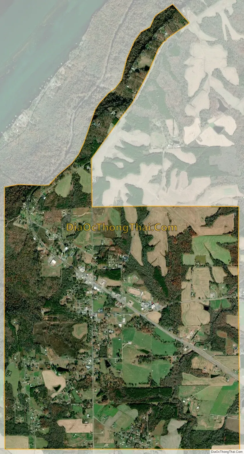
Section city Satellite Map
Geography
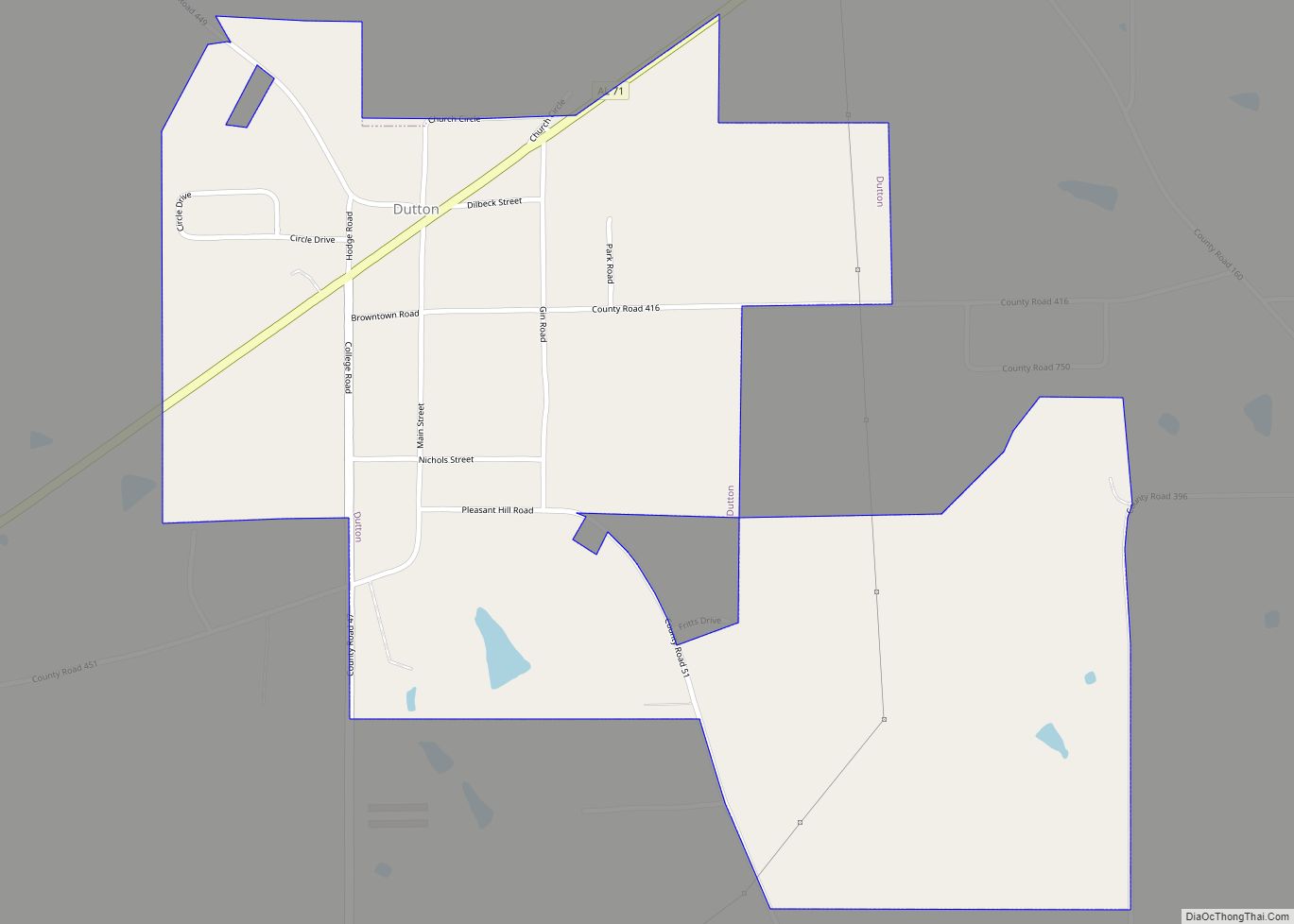
Section is located at 34°34′41″N 85°59′17″W / 34.57806°N 85.98806°W / 34.57806; -85.98806 (34.578155, -85.988114). The town is situated along State Route 35, northwest of Rainsville and southeast of Scottsboro. It lies along the western edge of Sand Mountain, and several points in the town, including Weathington Park, offer dramatic views of the Tennessee River and valley to the west. State Route 71 intersects State Route 35 in Section, connecting the area with Dutton and the Pisgah area to the northeast.
According to the U.S. Census Bureau, the town has a total area of 4.6 square miles (12 km), all land.
See also
Map of Alabama State and its subdivision:- Autauga
- Baldwin
- Barbour
- Bibb
- Blount
- Bullock
- Butler
- Calhoun
- Chambers
- Cherokee
- Chilton
- Choctaw
- Clarke
- Clay
- Cleburne
- Coffee
- Colbert
- Conecuh
- Coosa
- Covington
- Crenshaw
- Cullman
- Dale
- Dallas
- De Kalb
- Elmore
- Escambia
- Etowah
- Fayette
- Franklin
- Geneva
- Greene
- Hale
- Henry
- Houston
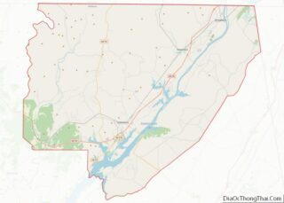
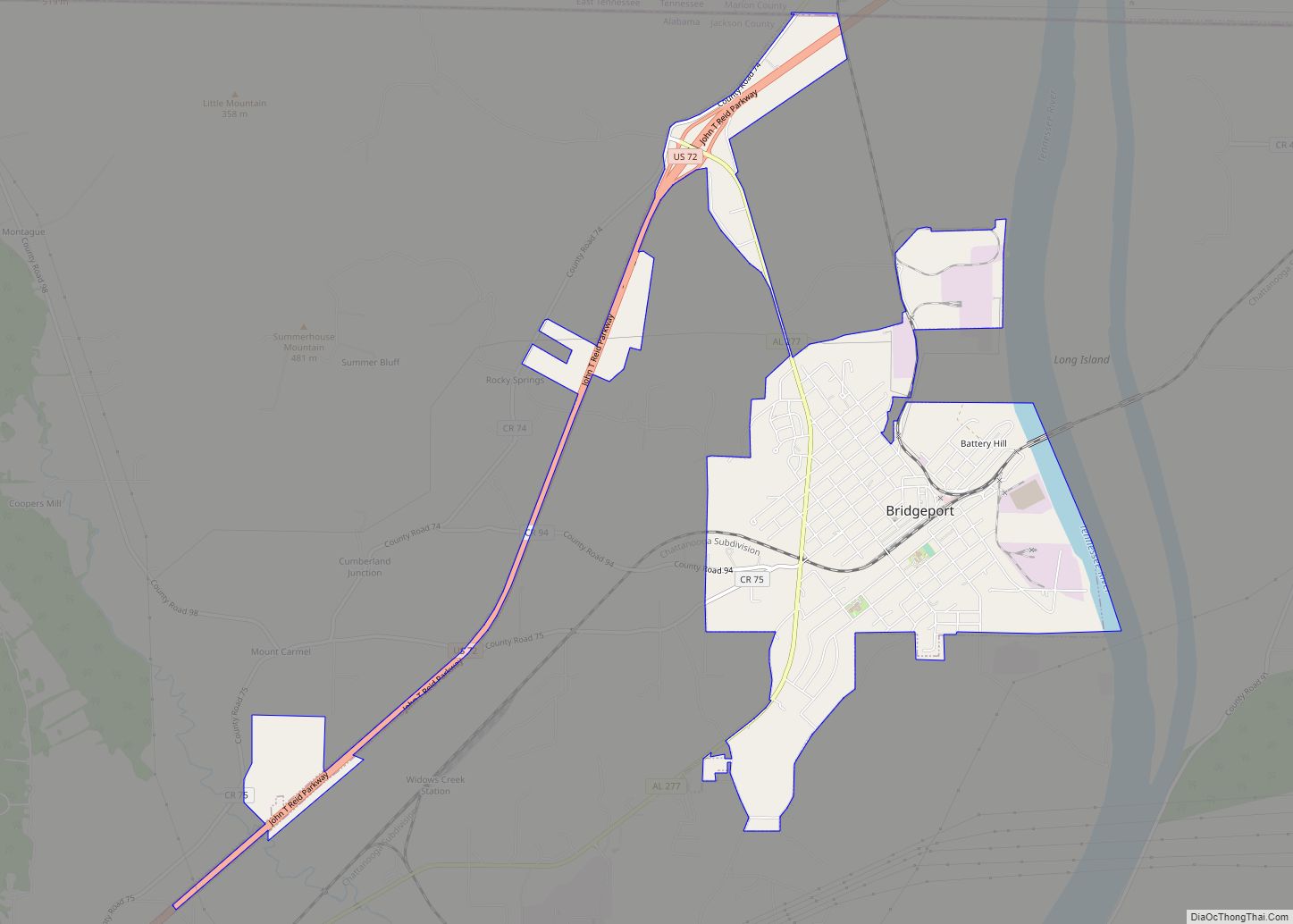
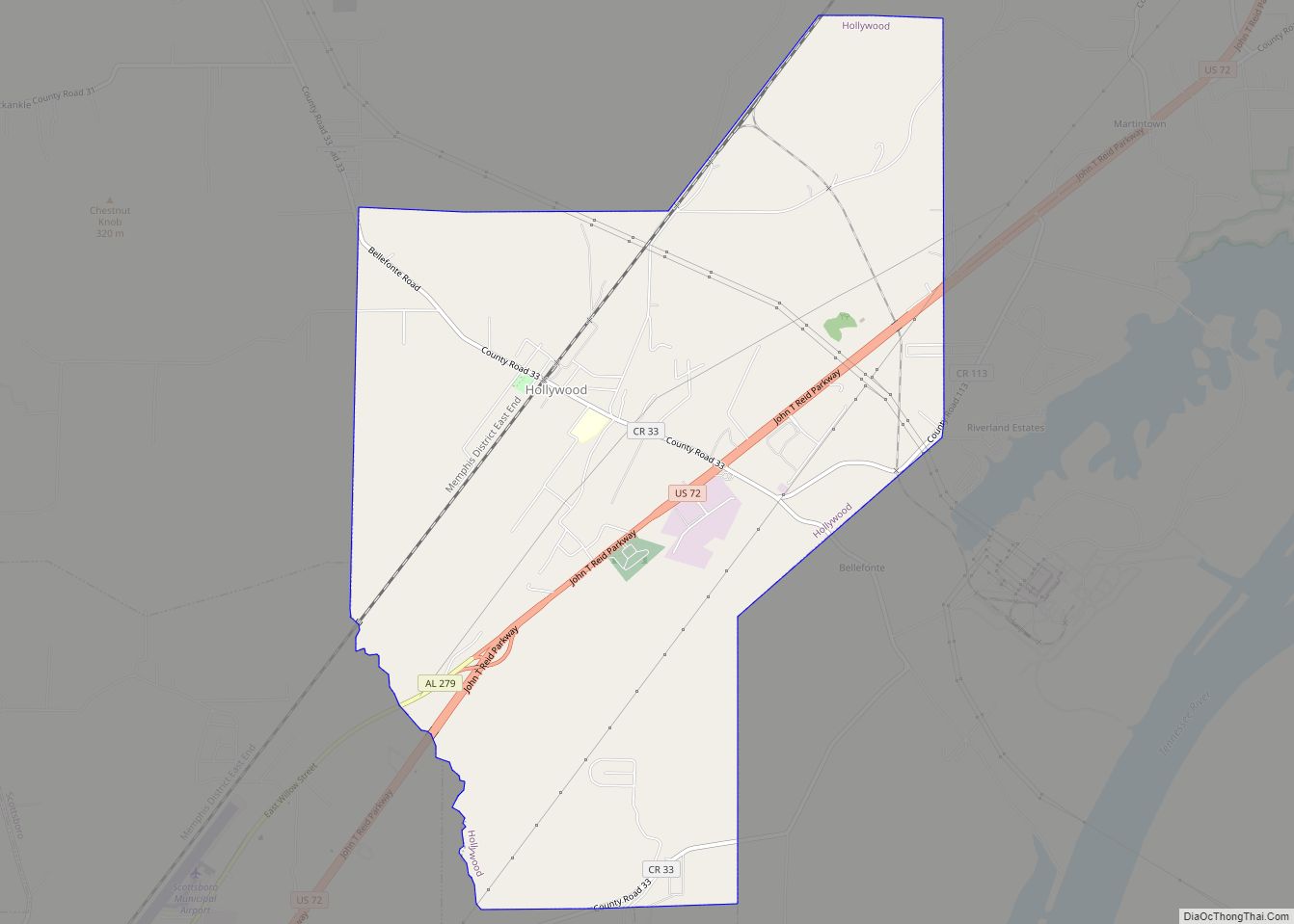
- Jackson
- Jefferson
- Lamar
- Lauderdale
- Lawrence
- Lee
- Limestone
- Lowndes
- Macon
- Madison
- Marengo
- Marion
- Marshall
- Mobile
- Monroe
- Montgomery
- Morgan
- Perry
- Pickens
- Pike
- Randolph
- Russell
- Saint Clair
- Shelby
- Sumter
- Talladega
- Tallapoosa
- Tuscaloosa
- Walker
- Washington
- Wilcox
- Winston
- Alabama
- Alaska
- Arizona
- Arkansas
- California
- Colorado
- Connecticut
- Delaware
- District of Columbia
- Florida
- Georgia
- Hawaii
- Idaho
- Illinois
- Indiana
- Iowa
- Kansas
- Kentucky
- Louisiana
- Maine
- Maryland
- Massachusetts
- Michigan
- Minnesota
- Mississippi
- Missouri
- Montana
- Nebraska
- Nevada
- New Hampshire
- New Jersey
- New Mexico
- New York
- North Carolina
- North Dakota
- Ohio
- Oklahoma
- Oregon
- Pennsylvania
- Rhode Island
- South Carolina
- South Dakota
- Tennessee
- Texas
- Utah
- Vermont
- Virginia
- Washington
- West Virginia
- Wisconsin
- Wyoming