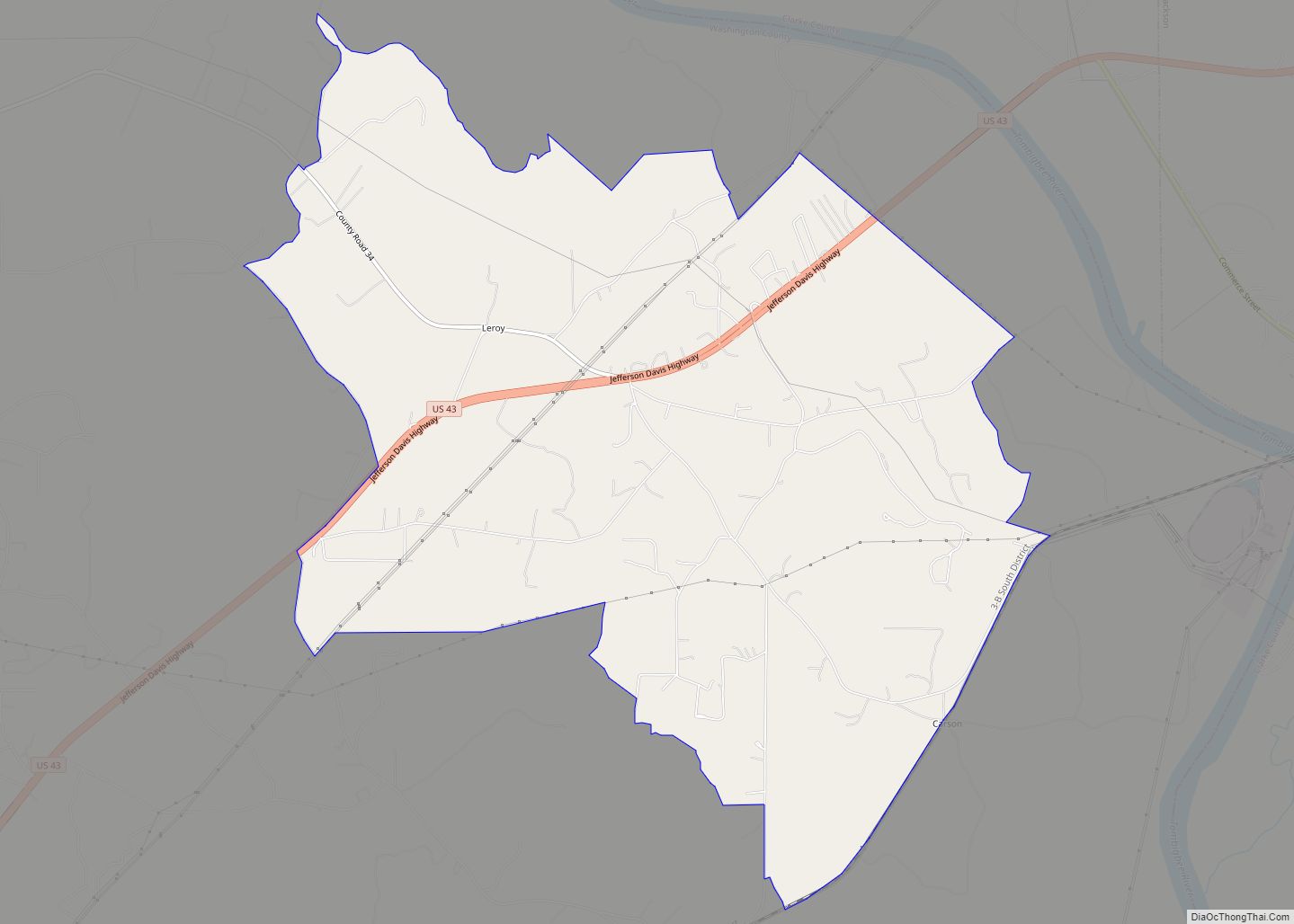
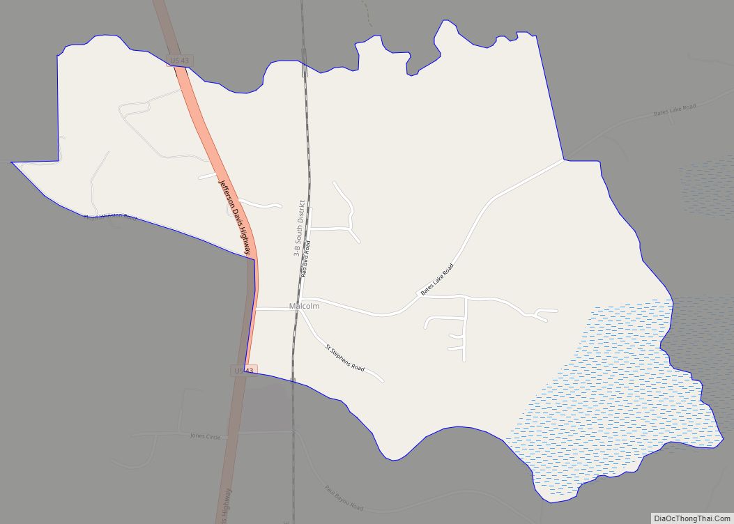
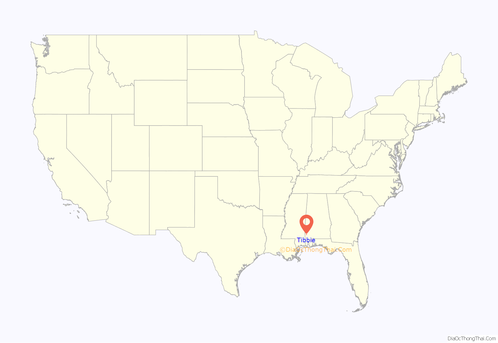
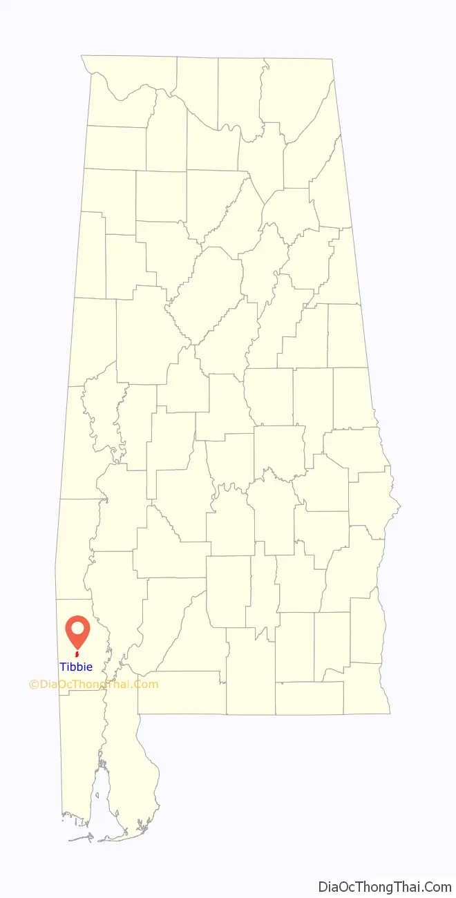
Tibbie is a census-designated place and unincorporated community in Washington County, Alabama, United States. Its population was 41 as of the 2010 census.
The Red Alabama Blackmouth Cur is thought to have originated in the area around Tibbie in the 1940s.
| Name: | Tibbie CDP |
|---|---|
| LSAD Code: | 57 |
| LSAD Description: | CDP (suffix) |
| State: | Alabama |
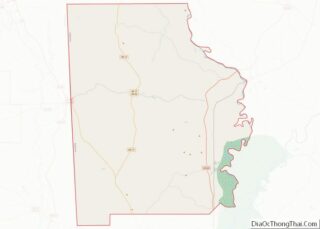
| County: | Washington County |
| Elevation: | 226 ft (69 m) |
| Total Area: | 1.77 sq mi (4.57 km²) |
| Land Area: | 1.75 sq mi (4.53 km²) |
| Water Area: | 0.02 sq mi (0.04 km²) |
| Total Population: | 55 |
| Population Density: | 31.45/sq mi (12.14/km²) |
| Area code: | 251 |
| FIPS code: | 0176200 |
| GNISfeature ID: | 127959 |
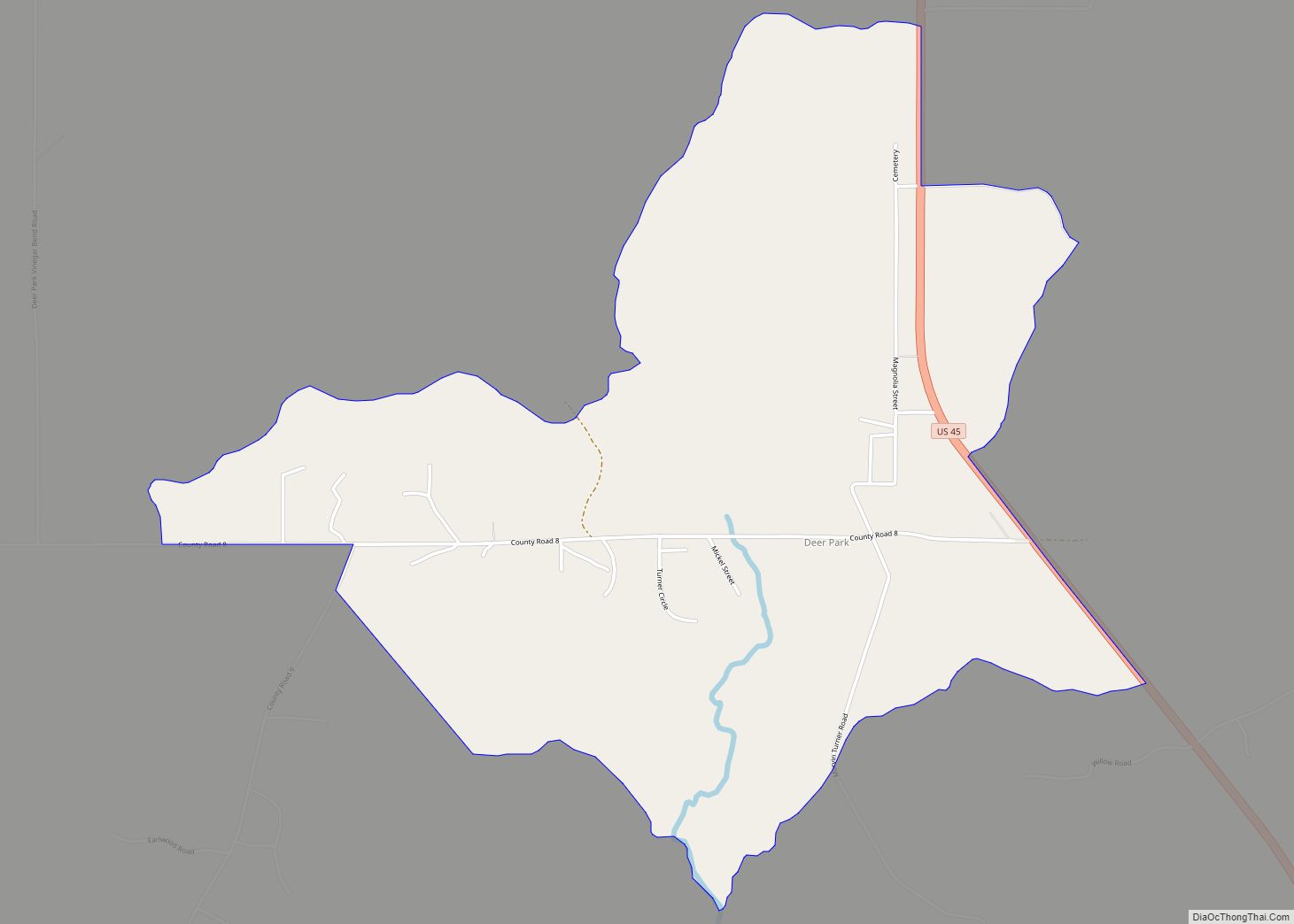
Online Interactive Map
Click on ![]() to view map in "full screen" mode.
to view map in "full screen" mode.
Tibbie location map. Where is Tibbie CDP?
History
The name Tibbie comes from a shortened form of the Choctaw word “oakibbeha”. Oakibbeha means “blocks of ice therein,” with okti meaning “ice” and the plural form abeha meaning “to be in”.
A post office first began operations under the name Tibbie in 1910.
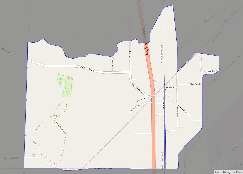
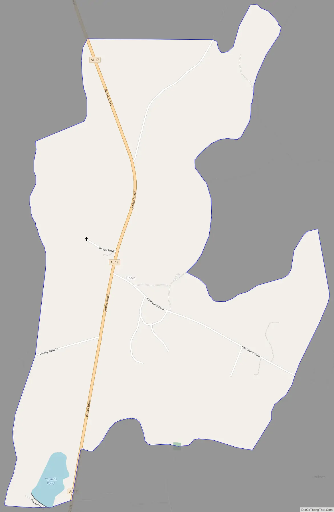
Tibbie Road Map
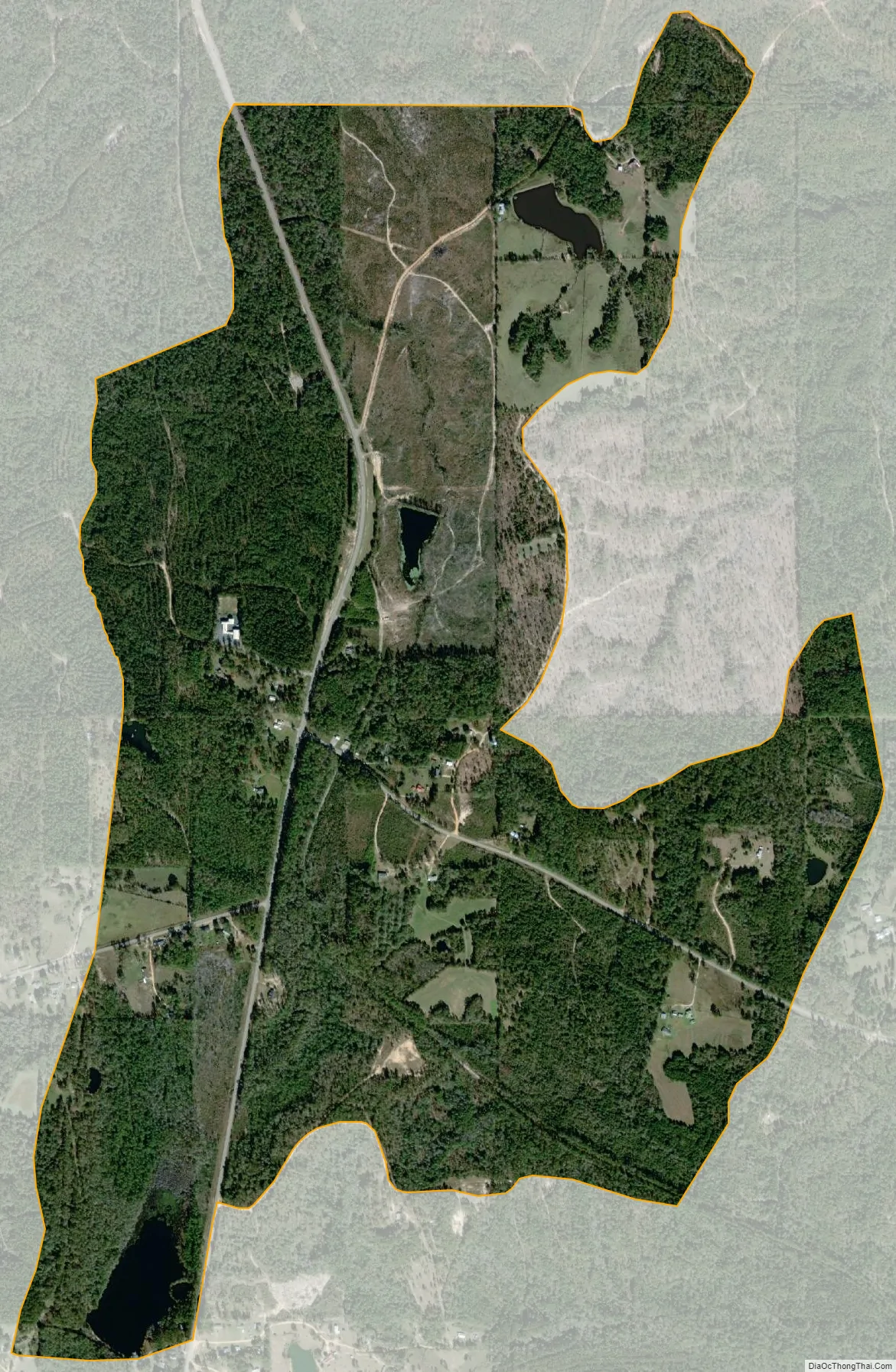
Tibbie city Satellite Map
See also
Map of Alabama State and its subdivision:- Autauga
- Baldwin
- Barbour
- Bibb
- Blount
- Bullock
- Butler
- Calhoun
- Chambers
- Cherokee
- Chilton
- Choctaw
- Clarke
- Clay
- Cleburne
- Coffee
- Colbert
- Conecuh
- Coosa
- Covington
- Crenshaw
- Cullman
- Dale
- Dallas
- De Kalb
- Elmore
- Escambia
- Etowah
- Fayette
- Franklin
- Geneva
- Greene
- Hale
- Henry
- Houston
- Jackson
- Jefferson
- Lamar
- Lauderdale
- Lawrence
- Lee
- Limestone
- Lowndes
- Macon
- Madison
- Marengo
- Marion
- Marshall
- Mobile
- Monroe
- Montgomery
- Morgan
- Perry
- Pickens
- Pike
- Randolph
- Russell
- Saint Clair
- Shelby
- Sumter
- Talladega
- Tallapoosa
- Tuscaloosa
- Walker
- Washington
- Wilcox
- Winston
- Alabama
- Alaska
- Arizona
- Arkansas
- California
- Colorado
- Connecticut
- Delaware
- District of Columbia
- Florida
- Georgia
- Hawaii
- Idaho
- Illinois
- Indiana
- Iowa
- Kansas
- Kentucky
- Louisiana
- Maine
- Maryland
- Massachusetts
- Michigan
- Minnesota
- Mississippi
- Missouri
- Montana
- Nebraska
- Nevada
- New Hampshire
- New Jersey
- New Mexico
- New York
- North Carolina
- North Dakota
- Ohio
- Oklahoma
- Oregon
- Pennsylvania
- Rhode Island
- South Carolina
- South Dakota
- Tennessee
- Texas
- Utah
- Vermont
- Virginia
- Washington
- West Virginia
- Wisconsin
- Wyoming