Valley Grande is a city in Dallas County, Alabama, United States, just north of Selma. Incorporated in early 2003, Valley Grande has a mayor-council form of government. The city’s population was 4,020 at the time of the 2010 census.
| Name: | Valley Grande city |
|---|---|
| LSAD Code: | 25 |
| LSAD Description: | city (suffix) |
| State: | Alabama |
| County: | Dallas County |
| Incorporated: | 2003 |
| Elevation: | 259 ft (79 m) |
| Total Area: | 33.82 sq mi (87.59 km²) |
| Land Area: | 33.51 sq mi (86.78 km²) |
| Water Area: | 0.31 sq mi (0.81 km²) |
| Total Population: | 4,190 |
| Population Density: | 125.06/sq mi (48.29/km²) |
| ZIP code: | 36701, 36703 |
| Area code: | 334 |
| FIPS code: | 0178232 |
| GNISfeature ID: | 2405635 |
| Website: | www.cityofvalleygrande.com |
Online Interactive Map
Click on ![]() to view map in "full screen" mode.
to view map in "full screen" mode.
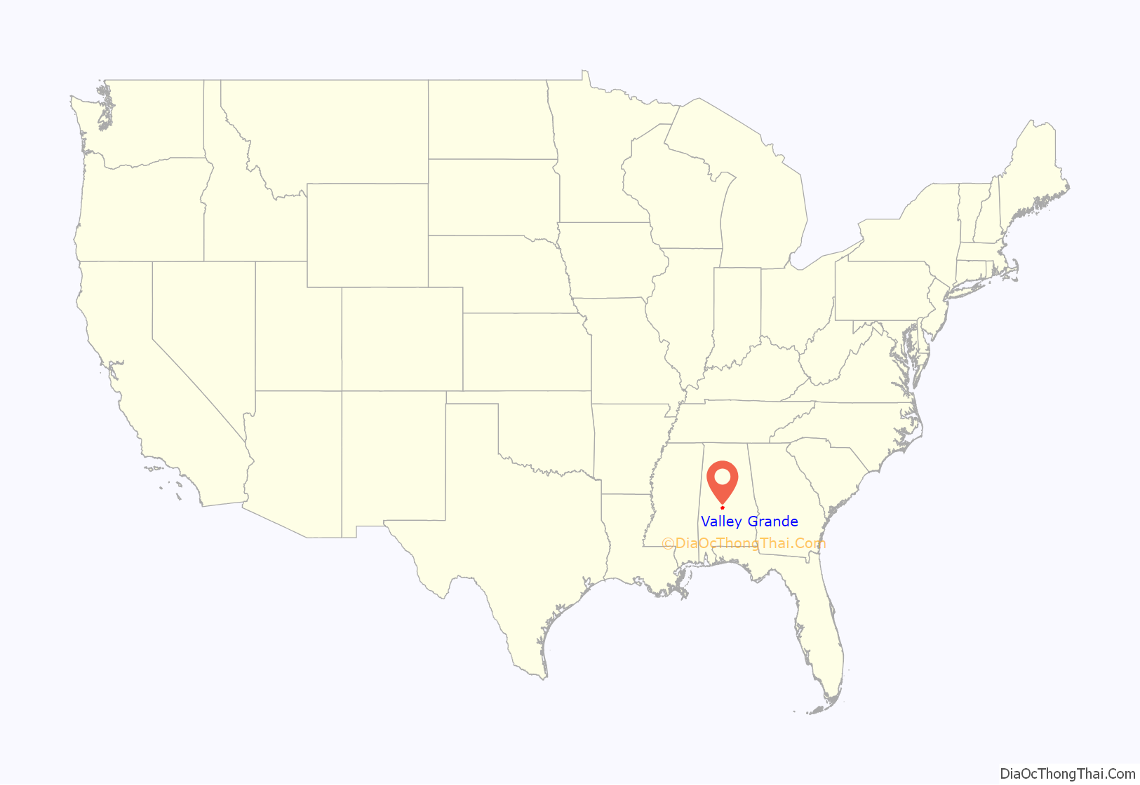
Valley Grande location map. Where is Valley Grande city?
History
Valley Grande encompasses the historic community of Summerfield. Established in 1819 as “Valley Creek”, the town was renamed “Summerfield” in 1845 to honor the noted Methodist preacher John Summerfield. In 1829, the first academy in Dallas County was chartered in Valley Creek. In 1842, the Alabama Conference of the Methodist Church opened the Methodist Centenary Institute, a coeducational institution chartered by the Alabama Legislature on January 2, 1841. At its peak when cotton production was profitable, Summerfield was a very prosperous community of planters, doctors, merchants, ministers, and educators. The historical core of Summerfield has survived intact and is listed on the National Register of Historic Places as a historic district encompassing 56.12 acres (227,100 m).. On January 9, 2003, the people of Valley Grande voted 9 to 1 for incorporation as the Town of Valley Grande. After the election of a mayor and five-member town council the vast majority of the Summerfield area was voluntarily annexed as part of Valley Grande.
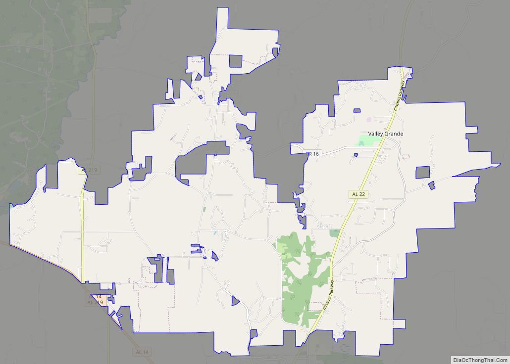
Valley Grande Road Map
Valley Grande city Satellite Map
Geography
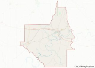
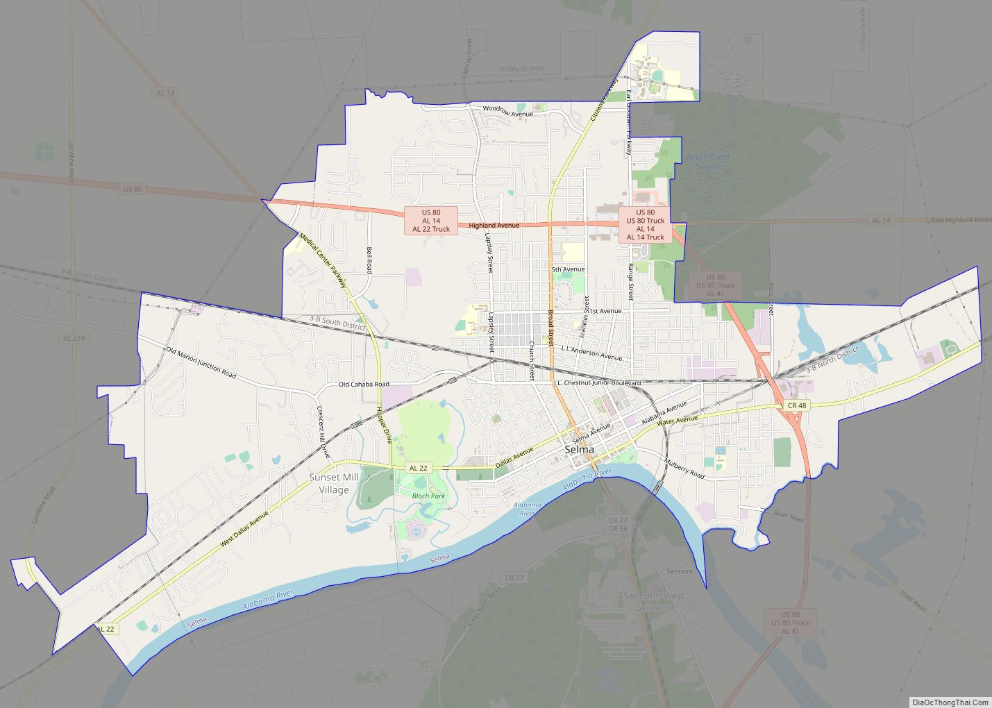
Valley Grande is located in northeastern Dallas County at 32.486872, -87.032773. It is bordered to the south by the city of Selma, the county seat.
According to the United States Census Bureau, Valley Grande has a total area of 33.8 square miles (87.6 km), of which 33.5 square miles (86.8 km) is land and 0.31 square miles (0.8 km) is water.
See also
Map of Alabama State and its subdivision:- Autauga
- Baldwin
- Barbour
- Bibb
- Blount
- Bullock
- Butler
- Calhoun
- Chambers
- Cherokee
- Chilton
- Choctaw
- Clarke
- Clay
- Cleburne
- Coffee
- Colbert
- Conecuh
- Coosa
- Covington
- Crenshaw
- Cullman
- Dale
- Dallas
- De Kalb
- Elmore
- Escambia
- Etowah
- Fayette
- Franklin
- Geneva
- Greene
- Hale
- Henry
- Houston
- Jackson
- Jefferson
- Lamar
- Lauderdale
- Lawrence
- Lee
- Limestone
- Lowndes
- Macon
- Madison
- Marengo
- Marion
- Marshall
- Mobile
- Monroe
- Montgomery
- Morgan
- Perry
- Pickens
- Pike
- Randolph
- Russell
- Saint Clair
- Shelby
- Sumter
- Talladega
- Tallapoosa
- Tuscaloosa
- Walker
- Washington
- Wilcox
- Winston
- Alabama
- Alaska
- Arizona
- Arkansas
- California
- Colorado
- Connecticut
- Delaware
- District of Columbia
- Florida
- Georgia
- Hawaii
- Idaho
- Illinois
- Indiana
- Iowa
- Kansas
- Kentucky
- Louisiana
- Maine
- Maryland
- Massachusetts
- Michigan
- Minnesota
- Mississippi
- Missouri
- Montana
- Nebraska
- Nevada
- New Hampshire
- New Jersey
- New Mexico
- New York
- North Carolina
- North Dakota
- Ohio
- Oklahoma
- Oregon
- Pennsylvania
- Rhode Island
- South Carolina
- South Dakota
- Tennessee
- Texas
- Utah
- Vermont
- Virginia
- Washington
- West Virginia
- Wisconsin
- Wyoming
