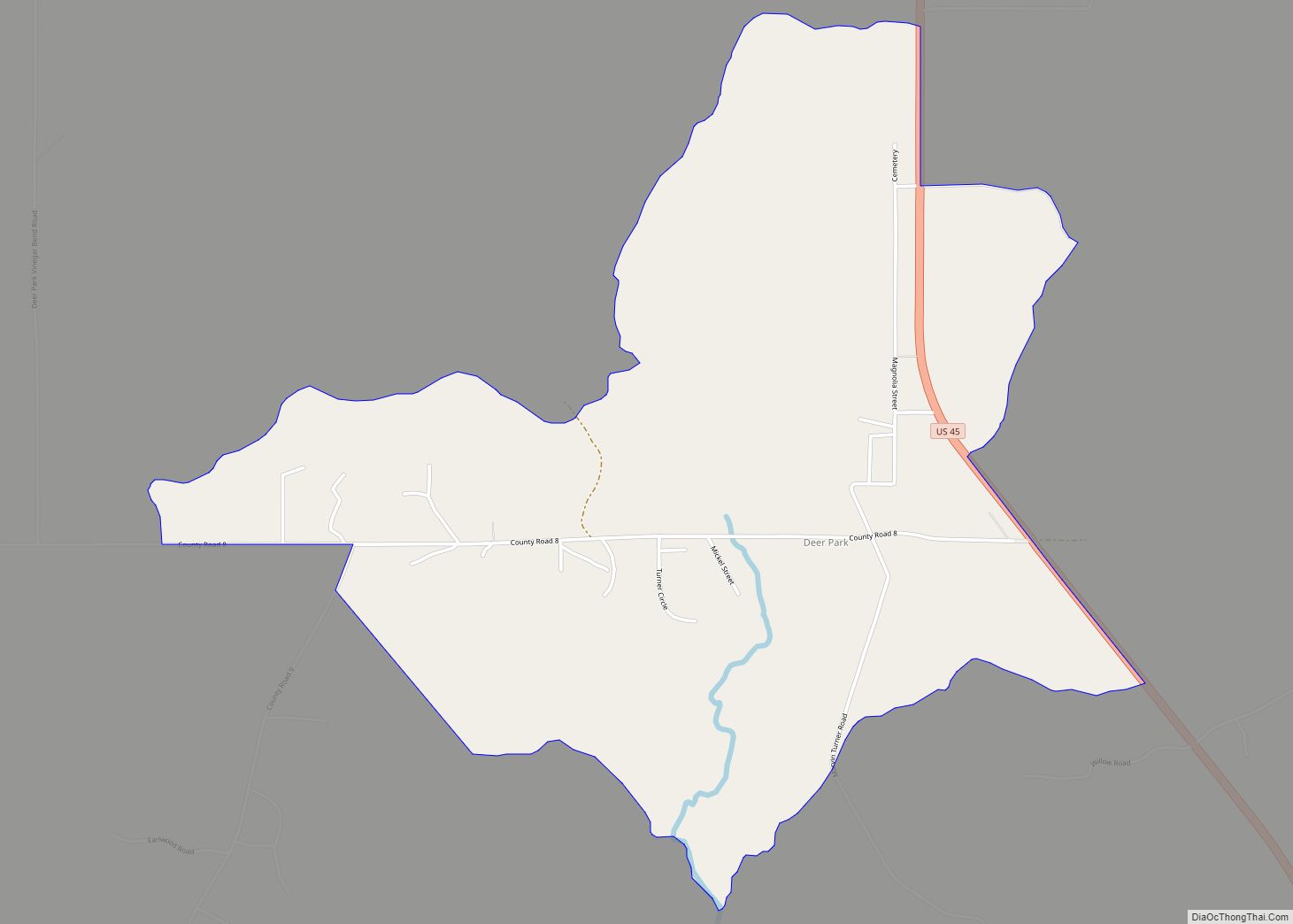
Vinegar Bend is an unincorporated census-designated place in Washington County, Alabama, United States. Vinegar Bend is 15 miles (24 km) south-southwest of Chatom. As of the 2010 census, its population was 192. Vinegar Bend had a post office with ZIP code 36584 until it was closed July 1, 2010. When the bridge on the “main” road into Vinegar Bend was closed for repairs, the USPS closed the post office for good.
| Name: | Vinegar Bend CDP |
|---|---|
| LSAD Code: | 57 |
| LSAD Description: | CDP (suffix) |
| State: | Alabama |
| County: | Washington County |
| Elevation: | 161 ft (49 m) |
| Total Area: | 9.47 sq mi (24.54 km²) |
| Land Area: | 9.45 sq mi (24.48 km²) |
| Water Area: | 0.02 sq mi (0.05 km²) |
| Total Population: | 178 |
| Population Density: | 18.83/sq mi (7.27/km²) |
| ZIP code: | 36584 |
| Area code: | 251 |
| FIPS code: | 0179032 |
| GNISfeature ID: | 153854 |
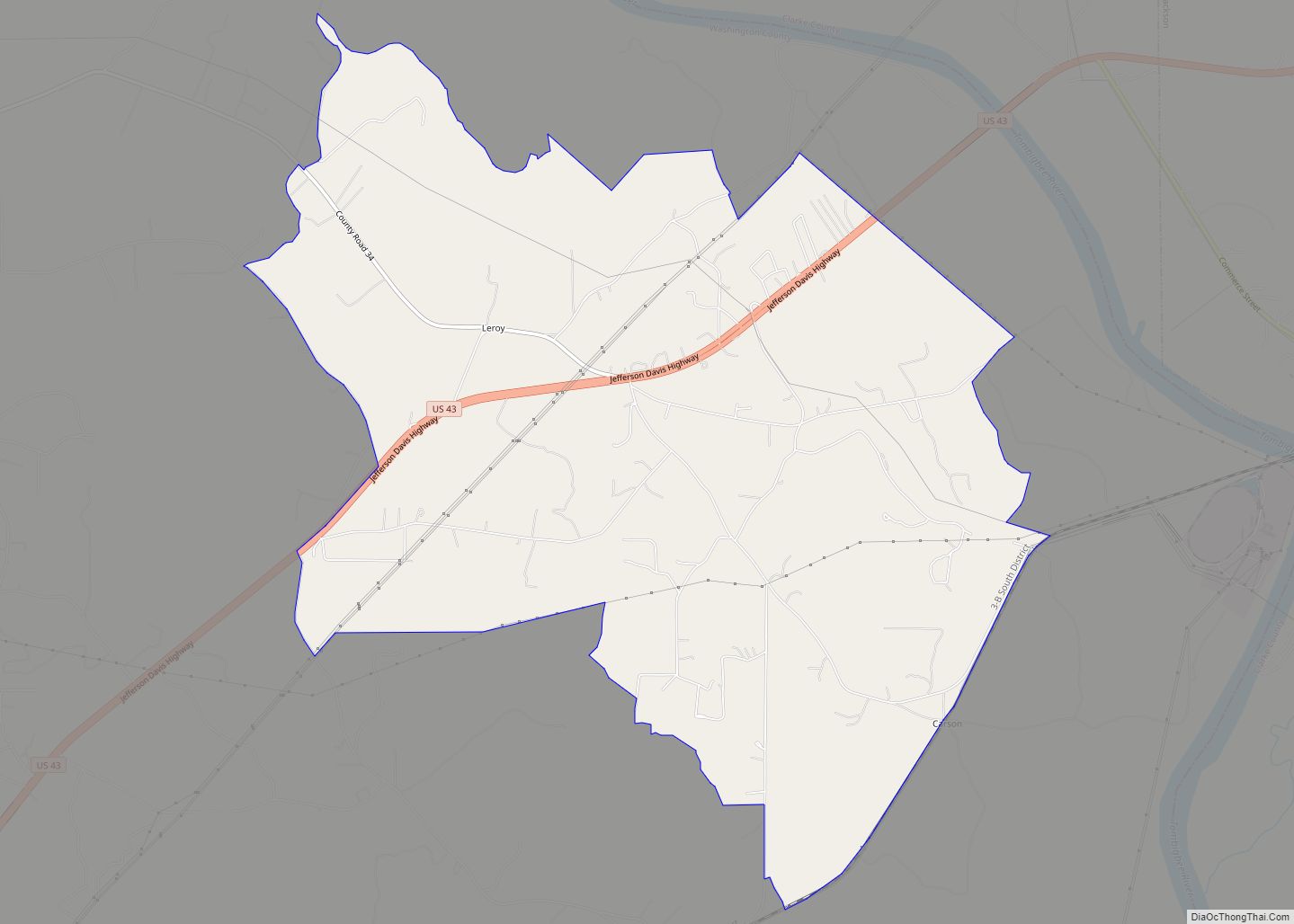
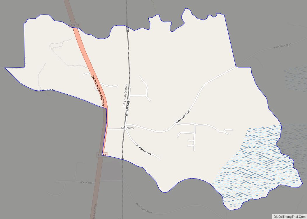
Online Interactive Map
Click on ![]() to view map in "full screen" mode.
to view map in "full screen" mode.
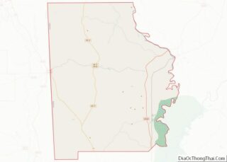
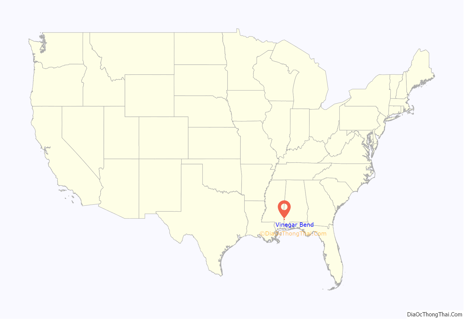
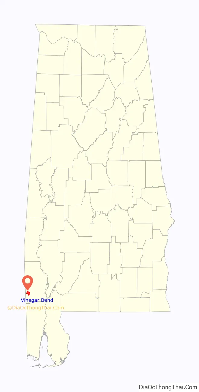
Vinegar Bend location map. Where is Vinegar Bend CDP?
History
There are a number of stories about how Vinegar Bend got its name. One is that it received its name when a container holding vinegar burst at the freight station near the river’s bend. It has frequently been noted on lists of unusual place names.
Lucius Beebe visited Vinegar Bend in the 1940s and wrote “Vinegar Bend itself is a communal last chapter. Once at the turn of the century, a local ancient told us, it had been a hustling township boasting a huge planing mill, numerous stores and residences and a forty-two-room-hotel. The railroad had owned half a dozen engines, each one smokier and more pyrotechnic than the next, and life had gone on at a giddy pace.”
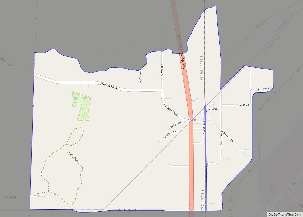
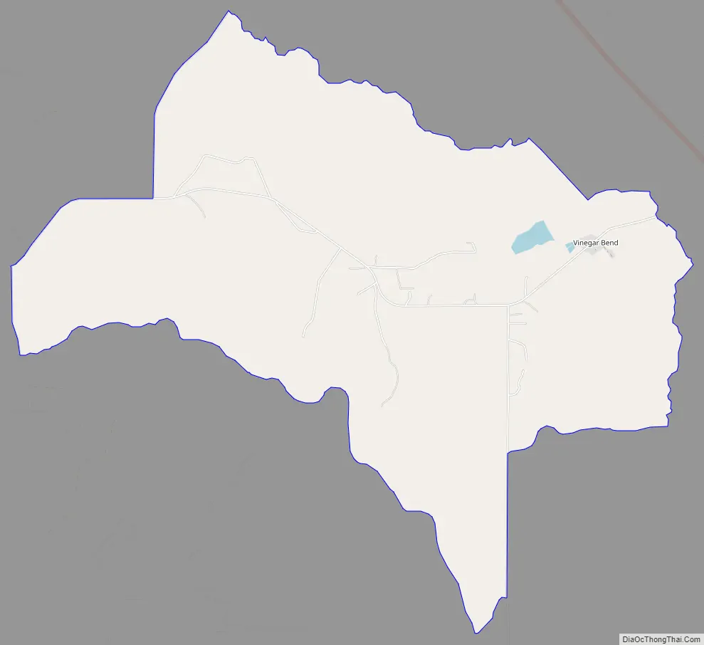
Vinegar Bend Road Map
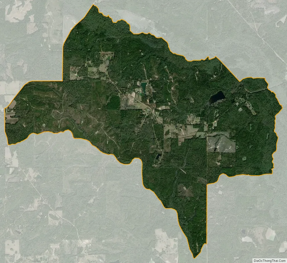
Vinegar Bend city Satellite Map
See also
Map of Alabama State and its subdivision:- Autauga
- Baldwin
- Barbour
- Bibb
- Blount
- Bullock
- Butler
- Calhoun
- Chambers
- Cherokee
- Chilton
- Choctaw
- Clarke
- Clay
- Cleburne
- Coffee
- Colbert
- Conecuh
- Coosa
- Covington
- Crenshaw
- Cullman
- Dale
- Dallas
- De Kalb
- Elmore
- Escambia
- Etowah
- Fayette
- Franklin
- Geneva
- Greene
- Hale
- Henry
- Houston
- Jackson
- Jefferson
- Lamar
- Lauderdale
- Lawrence
- Lee
- Limestone
- Lowndes
- Macon
- Madison
- Marengo
- Marion
- Marshall
- Mobile
- Monroe
- Montgomery
- Morgan
- Perry
- Pickens
- Pike
- Randolph
- Russell
- Saint Clair
- Shelby
- Sumter
- Talladega
- Tallapoosa
- Tuscaloosa
- Walker
- Washington
- Wilcox
- Winston
- Alabama
- Alaska
- Arizona
- Arkansas
- California
- Colorado
- Connecticut
- Delaware
- District of Columbia
- Florida
- Georgia
- Hawaii
- Idaho
- Illinois
- Indiana
- Iowa
- Kansas
- Kentucky
- Louisiana
- Maine
- Maryland
- Massachusetts
- Michigan
- Minnesota
- Mississippi
- Missouri
- Montana
- Nebraska
- Nevada
- New Hampshire
- New Jersey
- New Mexico
- New York
- North Carolina
- North Dakota
- Ohio
- Oklahoma
- Oregon
- Pennsylvania
- Rhode Island
- South Carolina
- South Dakota
- Tennessee
- Texas
- Utah
- Vermont
- Virginia
- Washington
- West Virginia
- Wisconsin
- Wyoming