Blevins is a city in Hempstead County, Arkansas, United States. The population was 315 at the 2010 census, down from 365 in 2000. It is part of the Hope Micropolitan Statistical Area.
| Name: | Blevins city |
|---|---|
| LSAD Code: | 25 |
| LSAD Description: | city (suffix) |
| State: | Arkansas |
| County: | Hempstead County |
| Elevation: | 420 ft (128 m) |
| Total Area: | 0.99 sq mi (2.58 km²) |
| Land Area: | 0.99 sq mi (2.58 km²) |
| Water Area: | 0.00 sq mi (0.00 km²) |
| Total Population: | 288 |
| Population Density: | 289.74/sq mi (111.84/km²) |
| ZIP code: | 71825 |
| Area code: | 870 |
| FIPS code: | 0507030 |
| GNISfeature ID: | 0046718 |
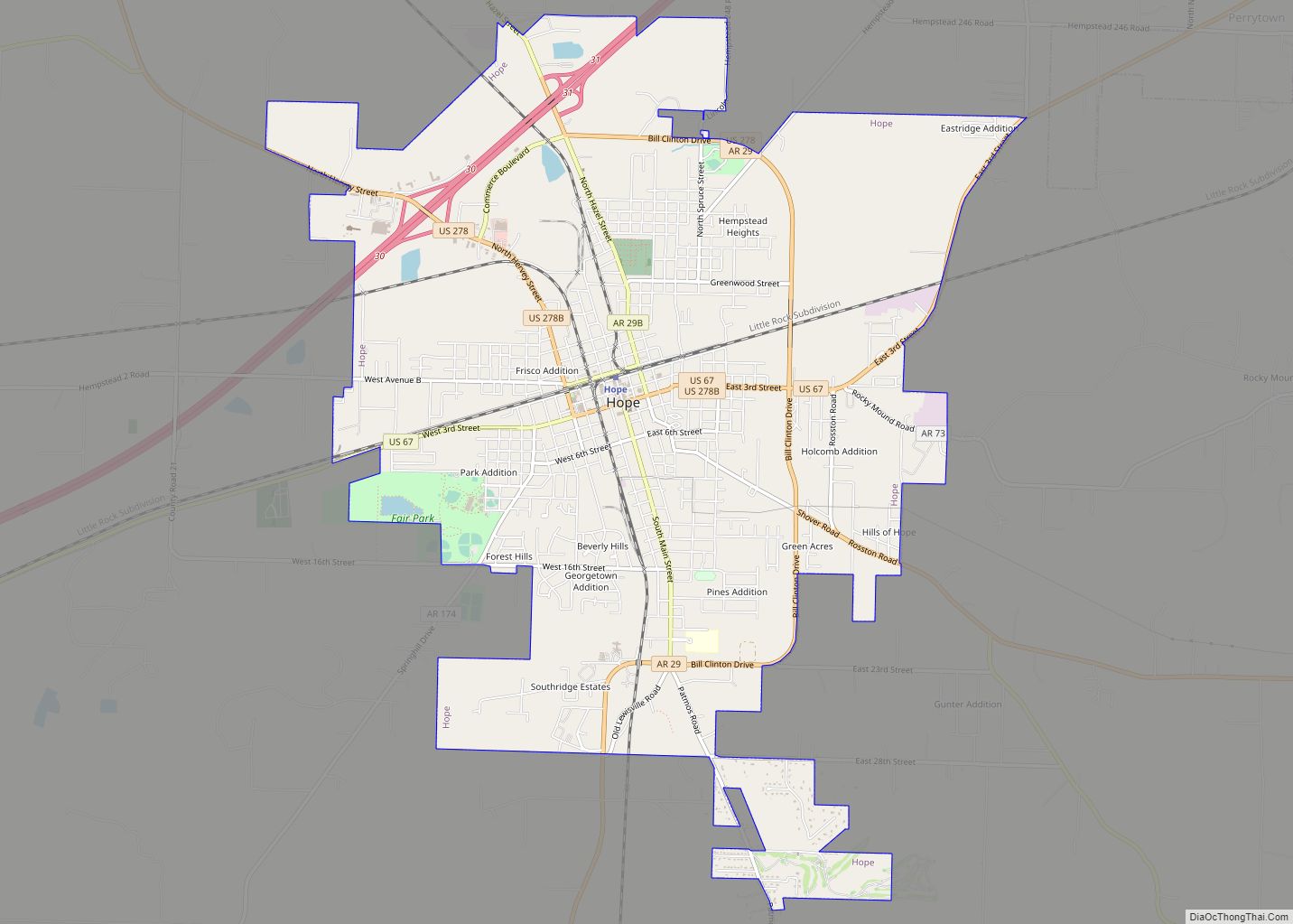
Online Interactive Map
Click on ![]() to view map in "full screen" mode.
to view map in "full screen" mode.
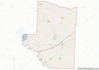
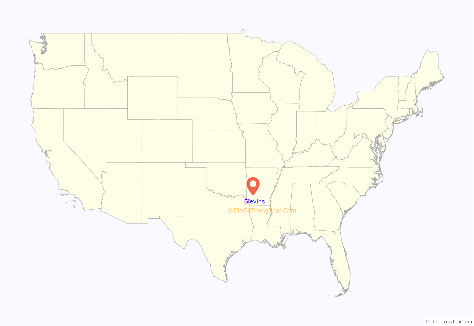
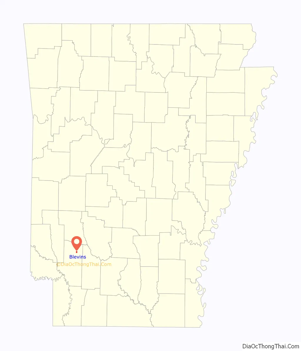
Blevins location map. Where is Blevins city?
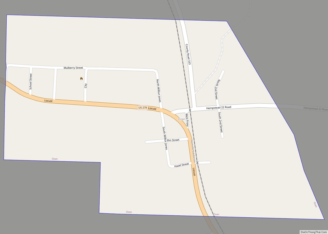
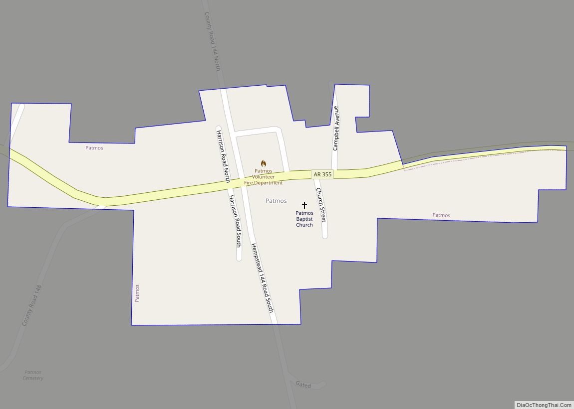
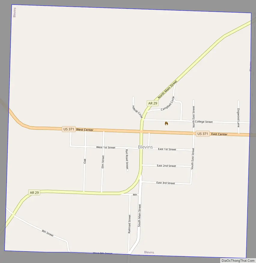
Blevins Road Map
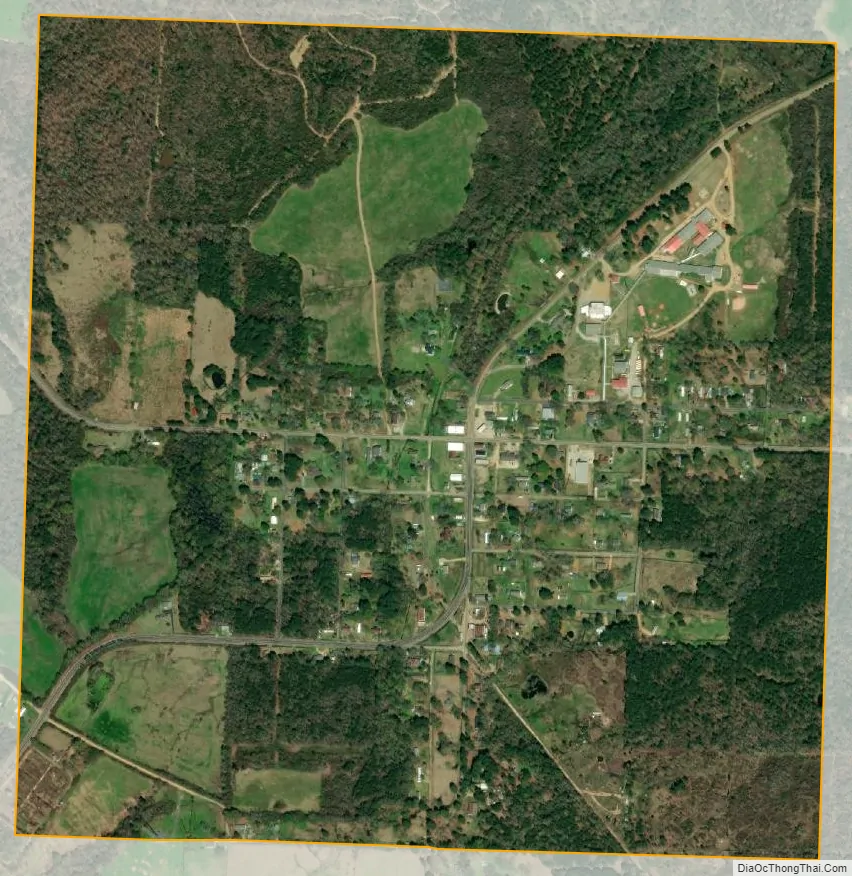
Blevins city Satellite Map
Geography
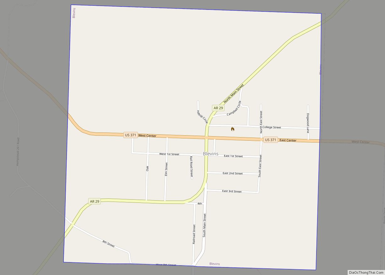
Blevins is located in northeastern Hempstead County at 33°52′16″N 93°34′36″W / 33.87111°N 93.57667°W / 33.87111; -93.57667 (33.871218, -93.576666). U.S. Route 371 passes through the city as Center Street, leading southeast 15 miles (24 km) to Prescott and northwest 19 miles (31 km) to Nashville. Arkansas Highway 29 is Main Street in Blevins, crossing US 371 in the center of town and leading northeast 18 miles (29 km) to Antoine and south 15 miles (24 km) to Hope, the Hempstead County seat.
According to the United States Census Bureau, the city of Blevins has a total area of 1.0 square mile (2.6 km), all land.
See also
Map of Arkansas State and its subdivision:- Arkansas
- Ashley
- Baxter
- Benton
- Boone
- Bradley
- Calhoun
- Carroll
- Chicot
- Clark
- Clay
- Cleburne
- Cleveland
- Columbia
- Conway
- Craighead
- Crawford
- Crittenden
- Cross
- Dallas
- Desha
- Drew
- Faulkner
- Franklin
- Fulton
- Garland
- Grant
- Greene
- Hempstead
- Hot Spring
- Howard
- Independence
- Izard
- Jackson
- Jefferson
- Johnson
- Lafayette
- Lawrence
- Lee
- Lincoln
- Little River
- Logan
- Lonoke
- Madison
- Marion
- Miller
- Mississippi
- Monroe
- Montgomery
- Nevada
- Newton
- Ouachita
- Perry
- Phillips
- Pike
- Poinsett
- Polk
- Pope
- Prairie
- Pulaski
- Randolph
- Saint Francis
- Saline
- Scott
- Searcy
- Sebastian
- Sevier
- Sharp
- Stone
- Union
- Van Buren
- Washington
- White
- Woodruff
- Yell
- Alabama
- Alaska
- Arizona
- Arkansas
- California
- Colorado
- Connecticut
- Delaware
- District of Columbia
- Florida
- Georgia
- Hawaii
- Idaho
- Illinois
- Indiana
- Iowa
- Kansas
- Kentucky
- Louisiana
- Maine
- Maryland
- Massachusetts
- Michigan
- Minnesota
- Mississippi
- Missouri
- Montana
- Nebraska
- Nevada
- New Hampshire
- New Jersey
- New Mexico
- New York
- North Carolina
- North Dakota
- Ohio
- Oklahoma
- Oregon
- Pennsylvania
- Rhode Island
- South Carolina
- South Dakota
- Tennessee
- Texas
- Utah
- Vermont
- Virginia
- Washington
- West Virginia
- Wisconsin
- Wyoming