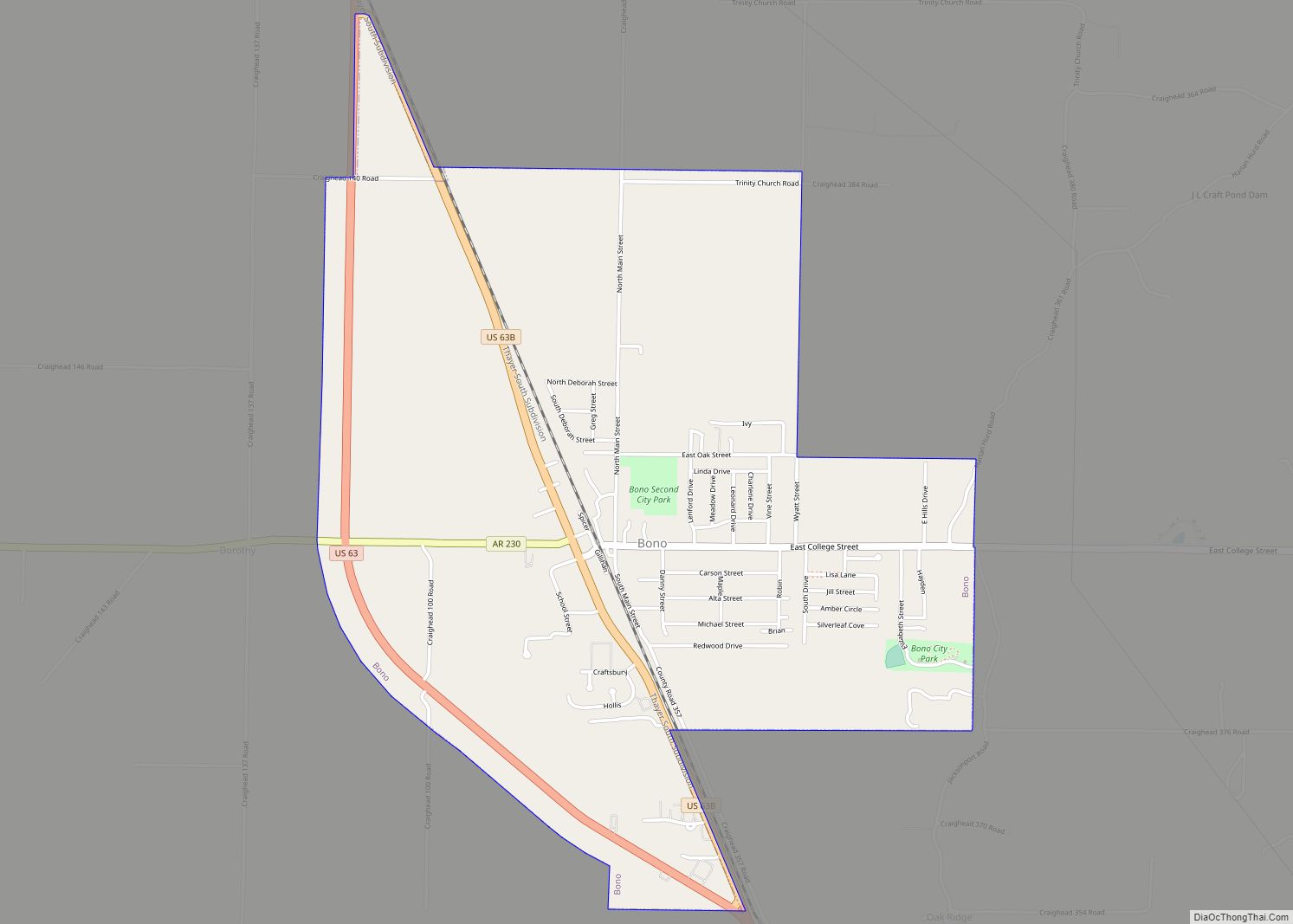
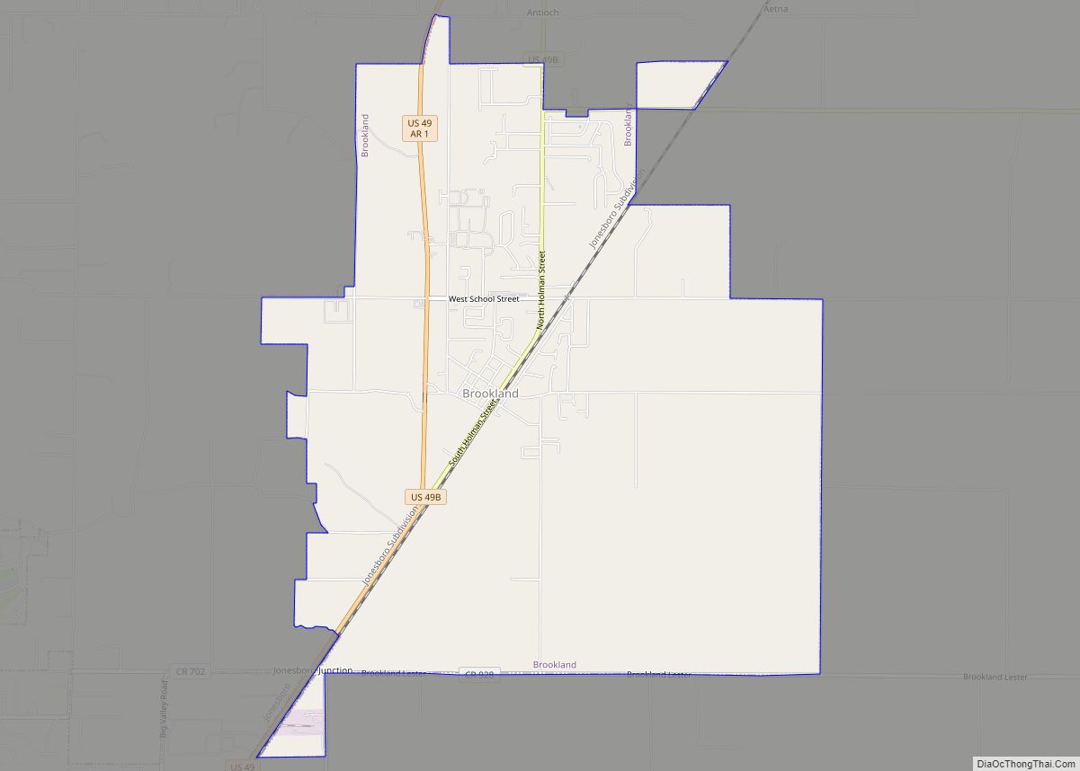
Brookland is a city in Craighead County, Arkansas, United States. The population was 1,642 at the 2010 census. It is included in the Jonesboro, Arkansas Metropolitan Statistical Area.
| Name: | Brookland city |
|---|---|
| LSAD Code: | 25 |
| LSAD Description: | city (suffix) |
| State: | Arkansas |
| County: | Craighead County |
| Elevation: | 262 ft (80 m) |
| Total Area: | 7.82 sq mi (20.25 km²) |
| Land Area: | 7.80 sq mi (20.20 km²) |
| Water Area: | 0.02 sq mi (0.04 km²) |
| Total Population: | 4,064 |
| Population Density: | 521.09/sq mi (201.18/km²) |
| ZIP code: | 72417 |
| Area code: | 870 |
| FIPS code: | 0509100 |
| GNISfeature ID: | 0076423 |
| Website: | www.brooklandarkansas.org |
Online Interactive Map
Click on ![]() to view map in "full screen" mode.
to view map in "full screen" mode.
Brookland location map. Where is Brookland city?
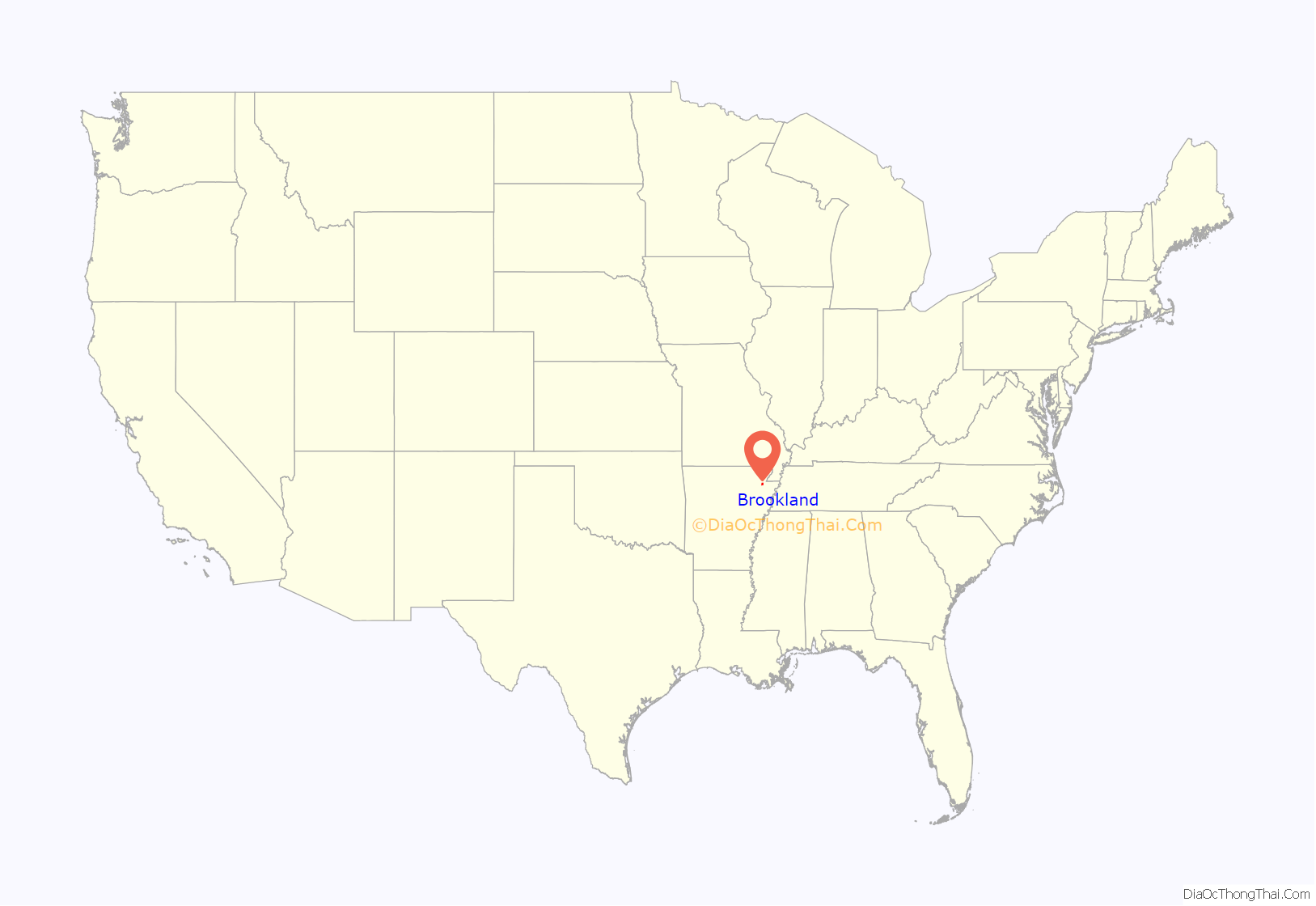
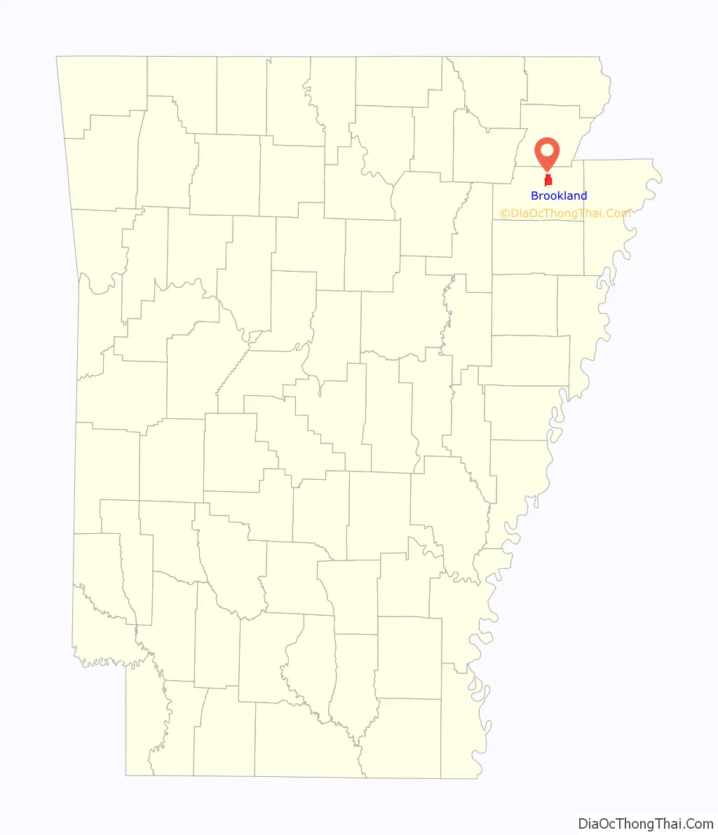
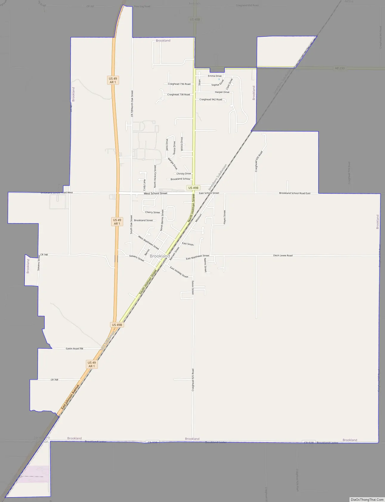
Brookland Road Map
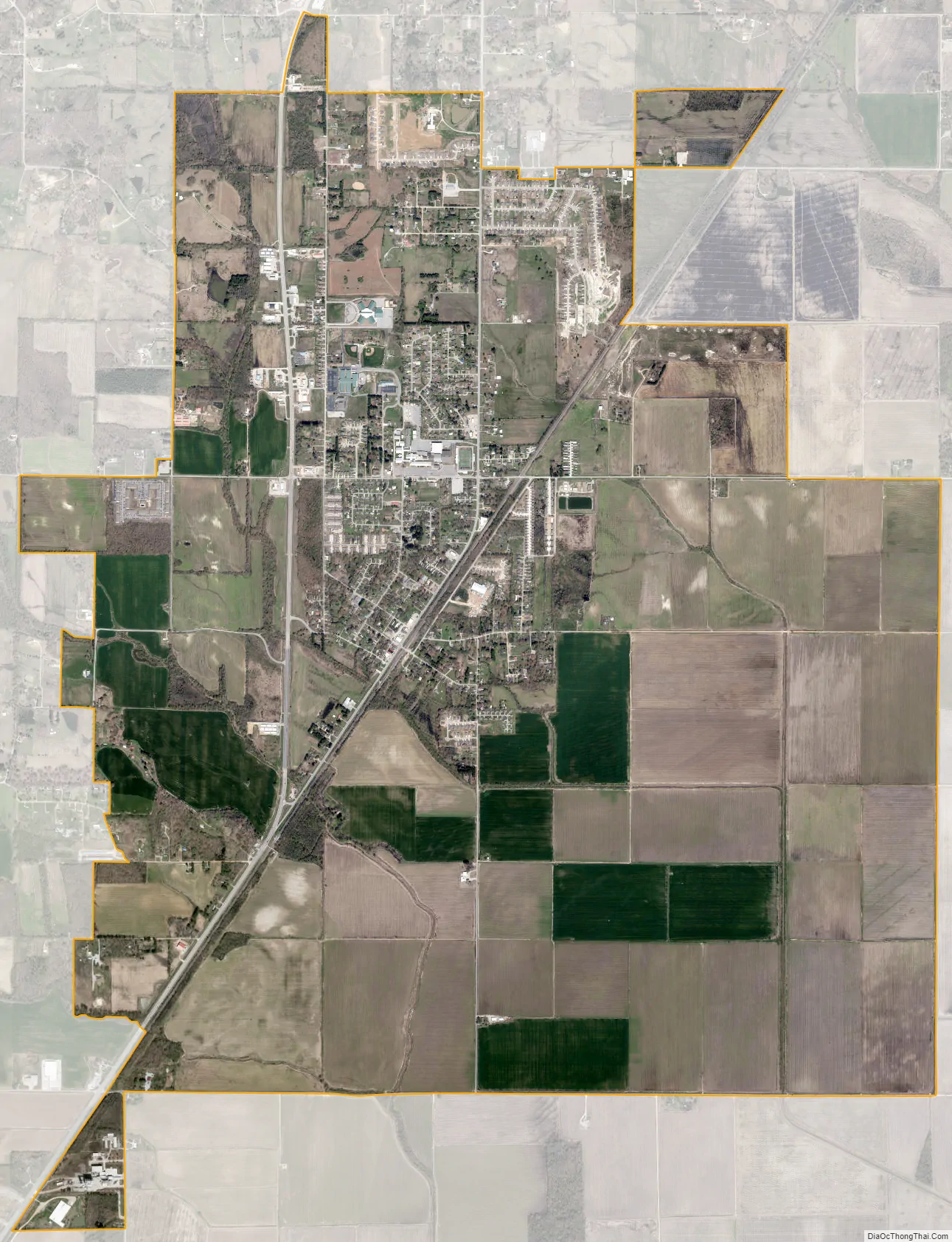
Brookland city Satellite Map
Geography
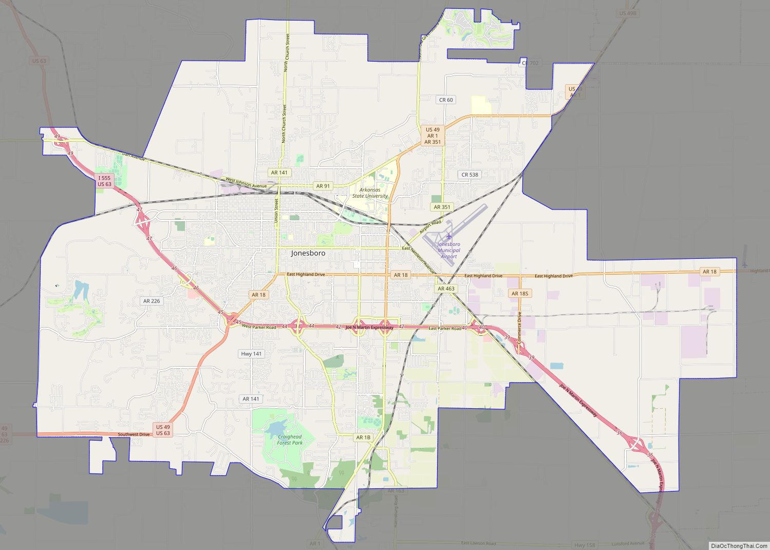
Brookland is located in northern Craighead County at 35°54′9″N 90°34′54″W / 35.90250°N 90.58167°W / 35.90250; -90.58167 (35.902386, -90.581591). Via U.S. Route 49 it is 8 miles (13 km) northeast of downtown Jonesboro, the county seat. Paragould is 12 miles (19 km) north via US 49.
According to the United States Census Bureau, the city has a total area of 2.0 square miles (5.3 km), of which 0.008 square miles (0.02 km), or 0.33%, is water.
List of highways
- US 49
- Highway 1
- Highway 230
See also
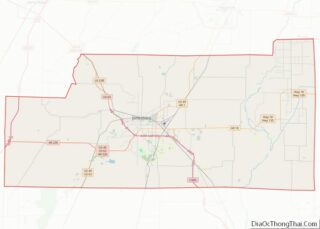
Map of Arkansas State and its subdivision:- Arkansas
- Ashley
- Baxter
- Benton
- Boone
- Bradley
- Calhoun
- Carroll
- Chicot
- Clark
- Clay
- Cleburne
- Cleveland
- Columbia
- Conway
- Craighead
- Crawford
- Crittenden
- Cross
- Dallas
- Desha
- Drew
- Faulkner
- Franklin
- Fulton
- Garland
- Grant
- Greene
- Hempstead
- Hot Spring
- Howard
- Independence
- Izard
- Jackson
- Jefferson
- Johnson
- Lafayette
- Lawrence
- Lee
- Lincoln
- Little River
- Logan
- Lonoke
- Madison
- Marion
- Miller
- Mississippi
- Monroe
- Montgomery
- Nevada
- Newton
- Ouachita
- Perry
- Phillips
- Pike
- Poinsett
- Polk
- Pope
- Prairie
- Pulaski
- Randolph
- Saint Francis
- Saline
- Scott
- Searcy
- Sebastian
- Sevier
- Sharp
- Stone
- Union
- Van Buren
- Washington
- White
- Woodruff
- Yell
- Alabama
- Alaska
- Arizona
- Arkansas
- California
- Colorado
- Connecticut
- Delaware
- District of Columbia
- Florida
- Georgia
- Hawaii
- Idaho
- Illinois
- Indiana
- Iowa
- Kansas
- Kentucky
- Louisiana
- Maine
- Maryland
- Massachusetts
- Michigan
- Minnesota
- Mississippi
- Missouri
- Montana
- Nebraska
- Nevada
- New Hampshire
- New Jersey
- New Mexico
- New York
- North Carolina
- North Dakota
- Ohio
- Oklahoma
- Oregon
- Pennsylvania
- Rhode Island
- South Carolina
- South Dakota
- Tennessee
- Texas
- Utah
- Vermont
- Virginia
- Washington
- West Virginia
- Wisconsin
- Wyoming