Cherokee City is an unincorporated census-designated place (CDP) in Benton County, Arkansas, United States. Per the 2020 census, the population was 73. It is the location of (or is the nearest community to) Coon Creek Bridge, which is located on Cty Rd. 24 and is listed on the National Register of Historic Places. The community was named for the Cherokee, since the Trail of Tears crossed the landscape when the Cherokee migrated west to Indian territory, now Oklahoma in the late 1830s. The town is within the Northwest Arkansas region, located about 5 miles east of Oklahoma and 4 miles south of the Missouri state line.
| Name: | Cherokee City CDP |
|---|---|
| LSAD Code: | 57 |
| LSAD Description: | CDP (suffix) |
| State: | Arkansas |
| County: | Benton County |
| Elevation: | 1,155 ft (352 m) |
| Total Area: | 0.47 sq mi (1.21 km²) |
| Land Area: | 0.47 sq mi (1.21 km²) |
| Water Area: | 0.00 sq mi (0.00 km²) |
| Total Population: | 73 |
| Population Density: | 155.98/sq mi (60.17/km²) |
| Area code: | 479 |
| FIPS code: | 0513420 |
| GNISfeature ID: | 76597 |
Online Interactive Map
Click on ![]() to view map in "full screen" mode.
to view map in "full screen" mode.
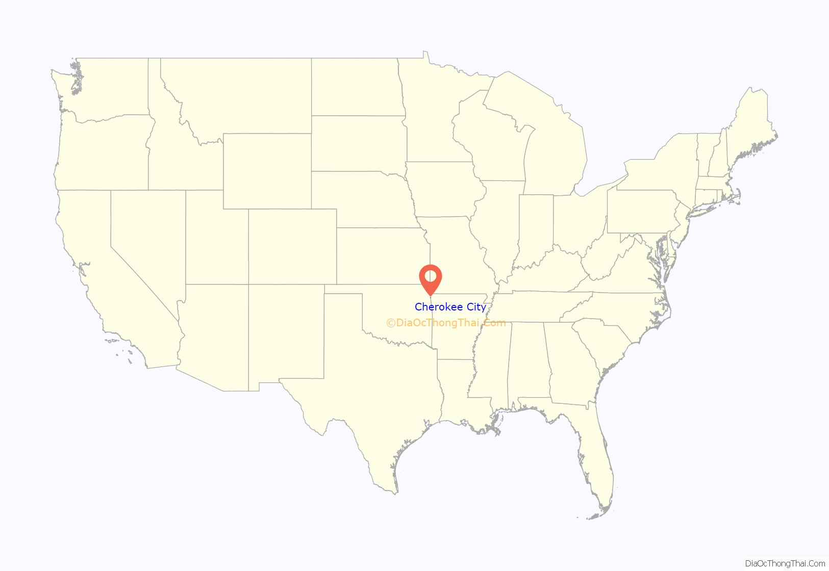
Cherokee City location map. Where is Cherokee City CDP?

History
Cherokee City was platted in 1880. A post office called Cherokee City was established in 1871, and remained in operation until 1953.
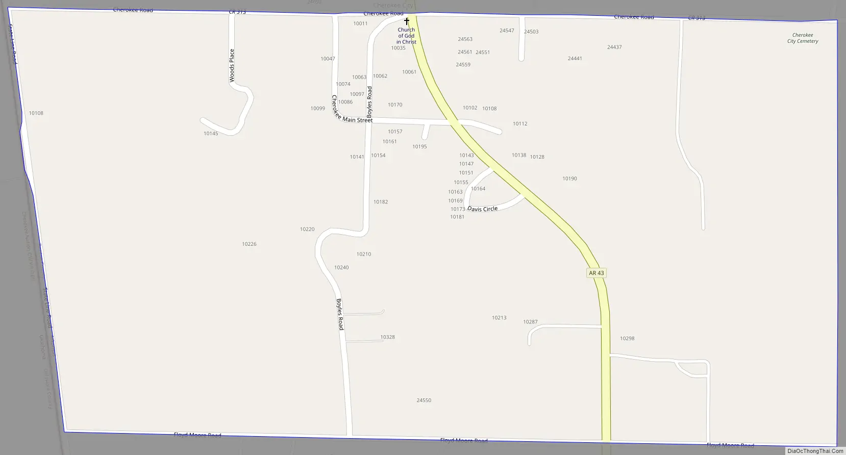
Cherokee City Road Map
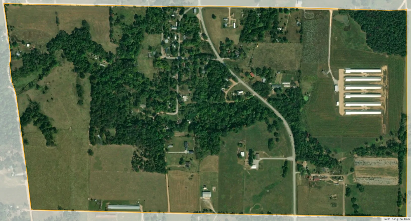
Cherokee City city Satellite Map
See also
Map of Arkansas State and its subdivision:- Arkansas
- Ashley
- Baxter
- Benton
- Boone
- Bradley
- Calhoun
- Carroll
- Chicot
- Clark
- Clay
- Cleburne
- Cleveland
- Columbia
- Conway
- Craighead
- Crawford
- Crittenden
- Cross
- Dallas
- Desha
- Drew
- Faulkner
- Franklin
- Fulton
- Garland
- Grant
- Greene
- Hempstead
- Hot Spring
- Howard
- Independence
- Izard
- Jackson
- Jefferson
- Johnson
- Lafayette
- Lawrence
- Lee
- Lincoln
- Little River
- Logan
- Lonoke
- Madison
- Marion
- Miller
- Mississippi
- Monroe
- Montgomery
- Nevada
- Newton
- Ouachita
- Perry
- Phillips
- Pike
- Poinsett
- Polk
- Pope
- Prairie
- Pulaski
- Randolph
- Saint Francis
- Saline
- Scott
- Searcy
- Sebastian
- Sevier
- Sharp
- Stone
- Union
- Van Buren
- Washington
- White
- Woodruff
- Yell
- Alabama
- Alaska
- Arizona
- Arkansas
- California
- Colorado
- Connecticut
- Delaware
- District of Columbia
- Florida
- Georgia
- Hawaii
- Idaho
- Illinois
- Indiana
- Iowa
- Kansas
- Kentucky
- Louisiana
- Maine
- Maryland
- Massachusetts
- Michigan
- Minnesota
- Mississippi
- Missouri
- Montana
- Nebraska
- Nevada
- New Hampshire
- New Jersey
- New Mexico
- New York
- North Carolina
- North Dakota
- Ohio
- Oklahoma
- Oregon
- Pennsylvania
- Rhode Island
- South Carolina
- South Dakota
- Tennessee
- Texas
- Utah
- Vermont
- Virginia
- Washington
- West Virginia
- Wisconsin
- Wyoming