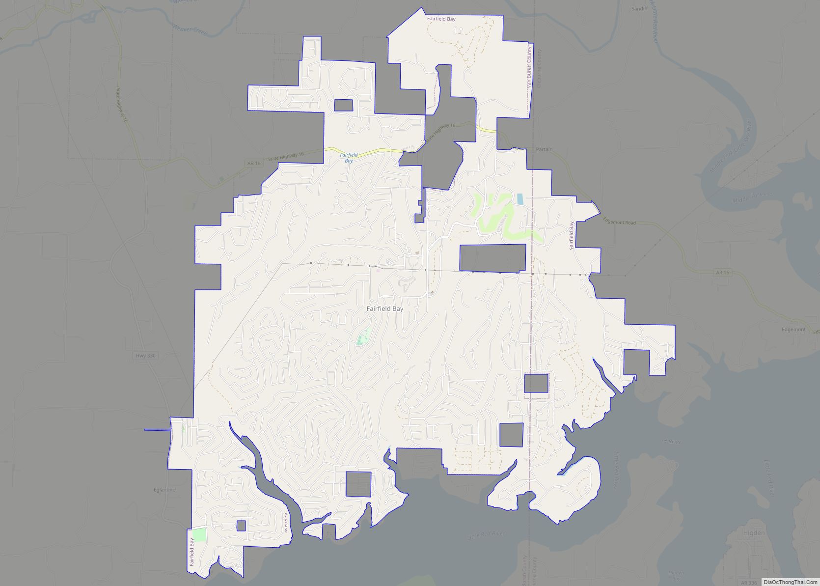
Fairfield Bay is a city in Cleburne and Van Buren counties in the northern part of the U.S. state of Arkansas. The population was 2,108 at the 2020 census. The population in its portion in Van Buren County, which accounts for the bulk of the city limits, made the city the most populous in Van Buren County as of the 2000 census, but with a slight decline in population, lost the distinction to Clinton as of 2010.
Fairfield Bay, located on the shore of Greers Ferry Lake, is home to Fairfield Bay Resort, the namesake of Wyndham Worldwide-owned Fairfield Resorts.
| Name: | Fairfield Bay city |
|---|---|
| LSAD Code: | 25 |
| LSAD Description: | city (suffix) |
| State: | Arkansas |
| County: | Cleburne County, Van Buren County |
| Elevation: | 932 ft (284 m) |
| Total Area: | 15.16 sq mi (39.26 km²) |
| Land Area: | 15.10 sq mi (39.10 km²) |
| Water Area: | 0.06 sq mi (0.16 km²) |
| Total Population: | 2,108 |
| Population Density: | 139.63/sq mi (53.91/km²) |
| ZIP code: | 72088 |
| Area code: | 501 |
| FIPS code: | 0522660 |
| GNISfeature ID: | 2403589 |
| Website: | www.cityoffairfieldbay.com |
Online Interactive Map
Click on ![]() to view map in "full screen" mode.
to view map in "full screen" mode.
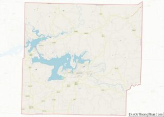
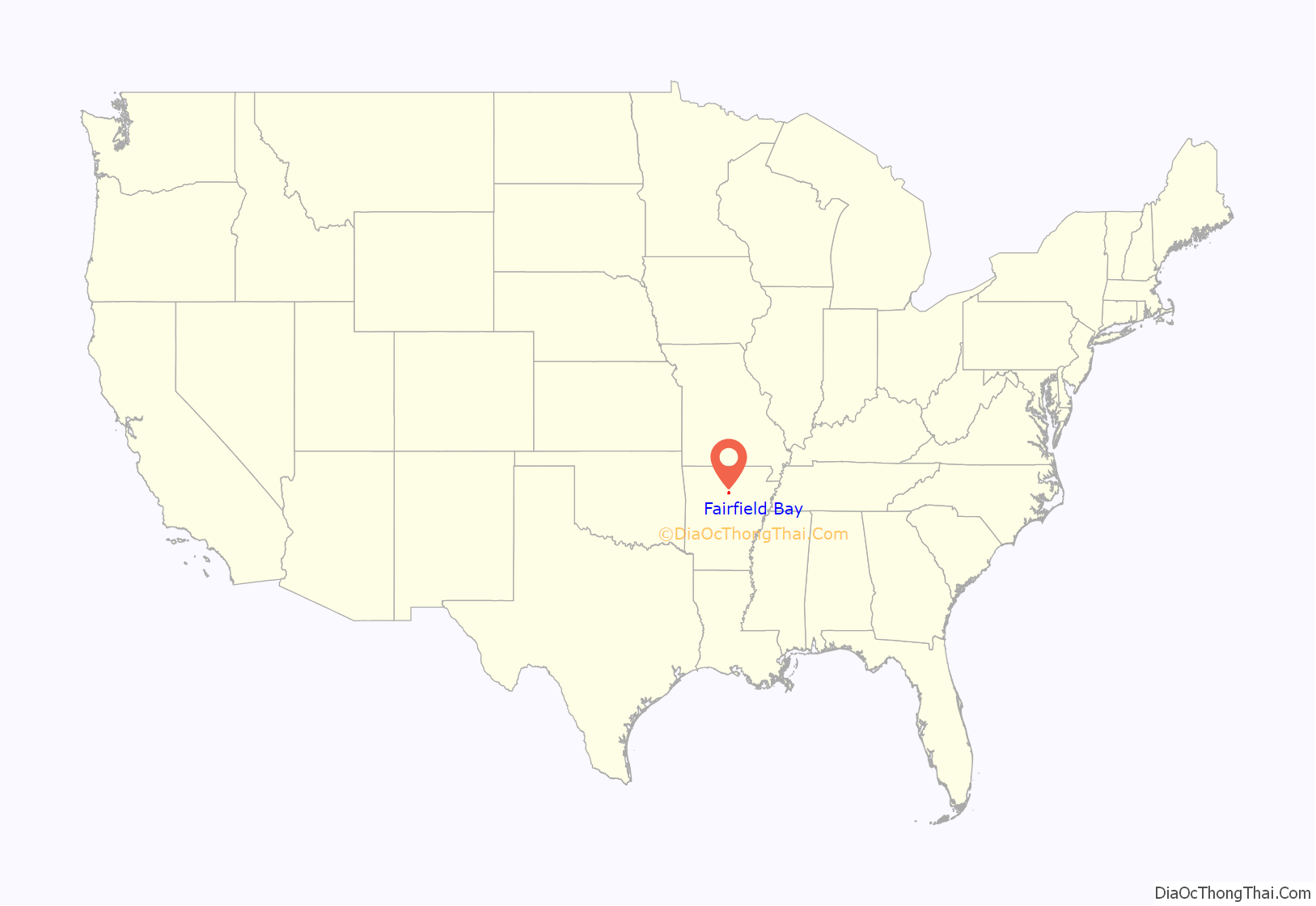
Fairfield Bay location map. Where is Fairfield Bay city?

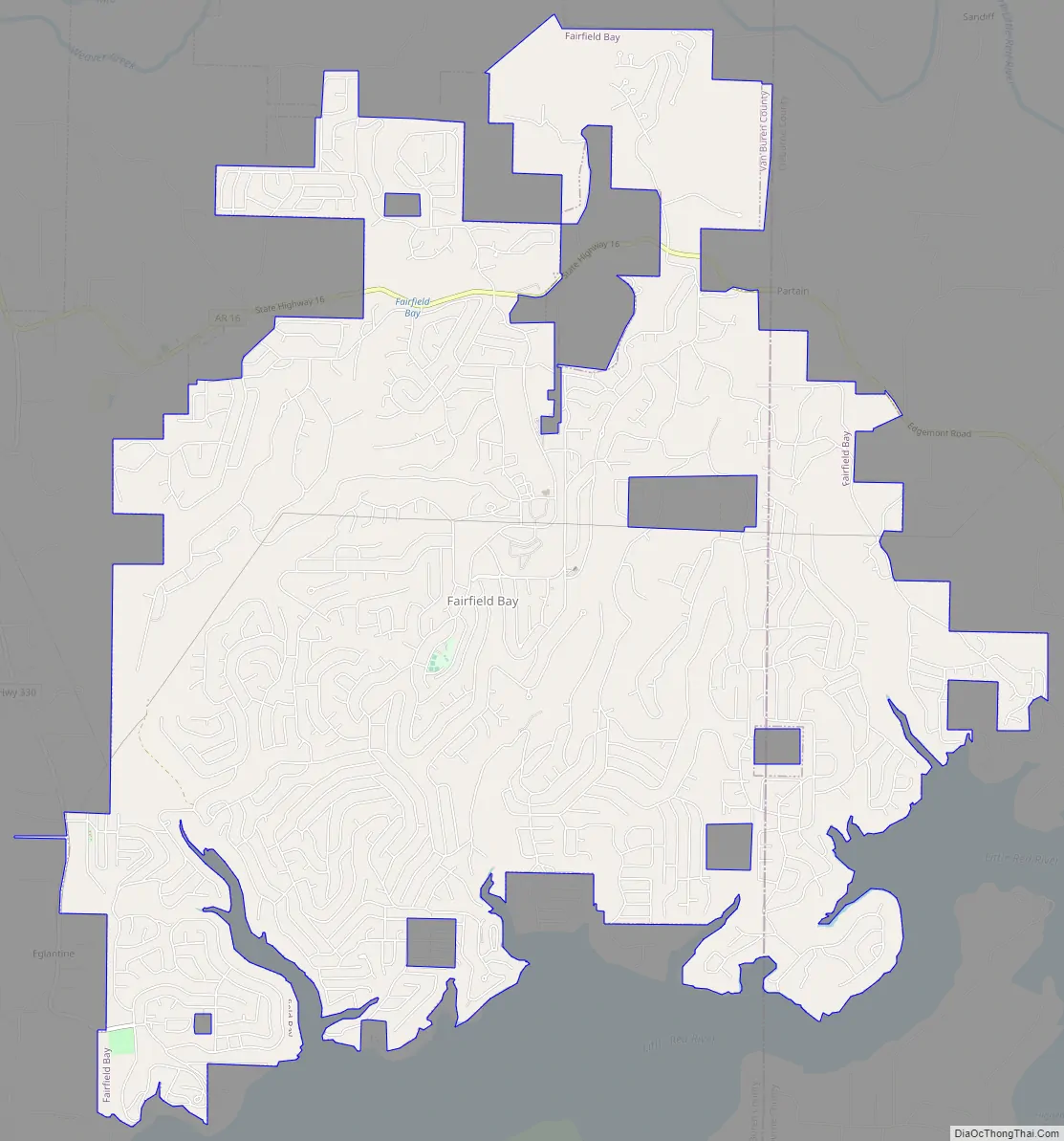
Fairfield Bay Road Map
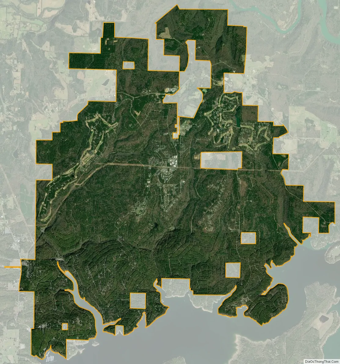
Fairfield Bay city Satellite Map
Geography
Fairfield Bay is located in eastern Van Buren County at 35°36′07″N 92°15′51″W / 35.602031°N 92.264164°W / 35.602031; -92.264164, extending eastward into Cleburne County. It is located on hills overlooking the northern shore of Greers Ferry Lake, a reservoir on the Little Red River, a tributary of the White River which flows to the Mississippi.
According to the United States Census Bureau, the city has a total area of 15.3 square miles (39.7 km), of which 15.3 square miles (39.5 km) is land and 0.04 square miles (0.1 km), or 0.36%, is water.
See also
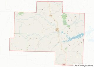
Map of Arkansas State and its subdivision:- Arkansas
- Ashley
- Baxter
- Benton
- Boone
- Bradley
- Calhoun
- Carroll
- Chicot
- Clark
- Clay
- Cleburne
- Cleveland
- Columbia
- Conway
- Craighead
- Crawford
- Crittenden
- Cross
- Dallas
- Desha
- Drew
- Faulkner
- Franklin
- Fulton
- Garland
- Grant
- Greene
- Hempstead
- Hot Spring
- Howard
- Independence
- Izard
- Jackson
- Jefferson
- Johnson
- Lafayette
- Lawrence
- Lee
- Lincoln
- Little River
- Logan
- Lonoke
- Madison
- Marion
- Miller
- Mississippi
- Monroe
- Montgomery
- Nevada
- Newton
- Ouachita
- Perry
- Phillips
- Pike
- Poinsett
- Polk
- Pope
- Prairie
- Pulaski
- Randolph
- Saint Francis
- Saline
- Scott
- Searcy
- Sebastian
- Sevier
- Sharp
- Stone
- Union
- Van Buren
- Washington
- White
- Woodruff
- Yell
- Alabama
- Alaska
- Arizona
- Arkansas
- California
- Colorado
- Connecticut
- Delaware
- District of Columbia
- Florida
- Georgia
- Hawaii
- Idaho
- Illinois
- Indiana
- Iowa
- Kansas
- Kentucky
- Louisiana
- Maine
- Maryland
- Massachusetts
- Michigan
- Minnesota
- Mississippi
- Missouri
- Montana
- Nebraska
- Nevada
- New Hampshire
- New Jersey
- New Mexico
- New York
- North Carolina
- North Dakota
- Ohio
- Oklahoma
- Oregon
- Pennsylvania
- Rhode Island
- South Carolina
- South Dakota
- Tennessee
- Texas
- Utah
- Vermont
- Virginia
- Washington
- West Virginia
- Wisconsin
- Wyoming