Conway is a city in the U.S. state of Arkansas and the county seat of Faulkner County, located in the state’s most populous Metropolitan Statistical Area, Central Arkansas. Although considered a suburb of Little Rock, Conway is unusual in that the majority of its residents do not commute out of the city to work. The city also serves as a regional shopping, educational, work, healthcare, sports, and cultural hub for Faulkner County and surrounding areas. Conway’s growth can be attributed to its jobs in technology and higher education; among its largest employers being Acxiom, the University of Central Arkansas, Hendrix College, Insight Enterprises, and many technology start-up companies. Conway is home to three post-secondary educational institutions, earning it the nickname “The City of Colleges”.
As of the 2010 census, the city proper had a total population of 58,908, making Conway the eighth-largest city in Arkansas. Central Arkansas, the Little Rock–North Little Rock–Conway, AR Metropolitan Statistical Area, is ranked 75th largest in the United States with 734,622 people in 2016. Conway is part of the larger Little Rock–North Little Rock, AR Combined Statistical Area, which in 2016 had a population of 905,847, and ranked the country’s 60th largest CSA.
| Name: | Conway city |
|---|---|
| LSAD Code: | 25 |
| LSAD Description: | city (suffix) |
| State: | Arkansas |
| County: | Faulkner County |
| Founded: | 1872 |
| Incorporated: | October 16, 1875 |
| Elevation: | 331 ft (101 m) |
| Land Area: | 46.26 sq mi (119.81 km²) |
| Water Area: | 0.25 sq mi (0.65 km²) 0.54% |
| Population Density: | 1,386.38/sq mi (535.28/km²) |
| ZIP code: | 72032-72035 |
| Area code: | 501 |
| FIPS code: | 0515190 |
| GNISfeature ID: | 2404119 |
Online Interactive Map
Click on ![]() to view map in "full screen" mode.
to view map in "full screen" mode.
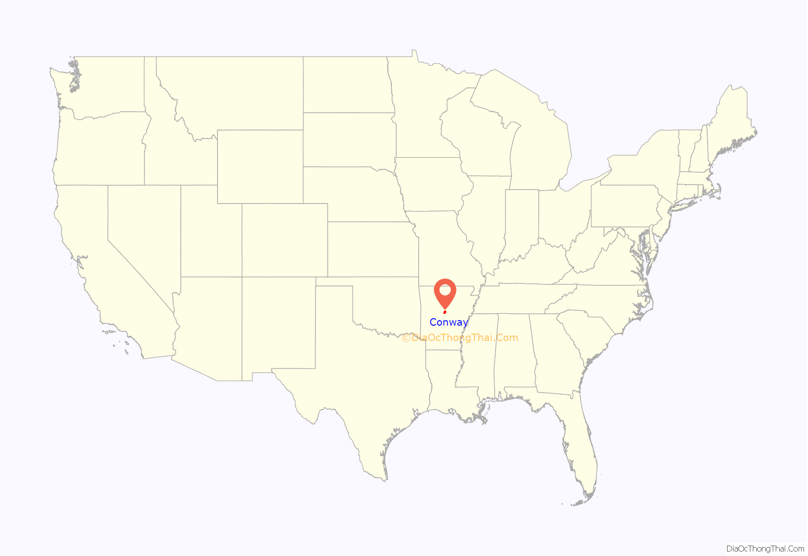
Conway location map. Where is Conway city?
History
The city of Conway was founded by Asa P. Robinson, who came to the area shortly after the Civil War. Robinson was the chief engineer for the Little Rock-Fort Smith Railroad (now the Union Pacific). Part of his compensation was the deed to a tract of land, one square mile, located near the old settlement of Cadron. When the railroad came through, Robinson deeded a small tract of his land back to the railroad for a depot site. He laid off a town site around the depot and named it “Conway Station” in honor of a famous Arkansas family. Conway Station contained two small stores, two saloons, a depot, some temporary housing, and a post office. Despite being founded as a railroad town, there is currently no passenger service; this is attributed to the increasing emphasis placed on cars.
In 1878, Father Joseph Strub, a priest in the Roman Catholic Holy Ghost Fathers, arrived in Arkansas. A native of Alsace-Lorraine, Strub was expelled from Prussia during the Kulturkampf in 1872. He moved to the United States, settling in Pittsburgh, where he founded Duquesne University in October 1878. Difficulties with Bishop John Tuigg led Strub to leave Pittsburgh in late October 1878 to travel to Conway. In 1879, Strub convinced the Little Rock and Fort Smith Railroad to deed 200,000 acres (810 km) along the northern side of the Arkansas River to the Holy Ghost Fathers in order to found the St. Joseph Colony. This included land on which Father Strub founded and built St. Joseph Catholic Church of Conway. As part of the land deal, the railroad offered land at 20 cents per acre to every German immigrant. In order to attract Roman Catholic Germans to Conway and the surrounding areas, Father Strub wrote The Guiding Star for the St. Joseph Colony. In addition to extolling the qualities of Conway and the surrounding area, Father Strub provided information on how best to travel from Europe to Conway. By 1889, over 100 German families had settled in Conway, giving the town many of its distinctively German street and business names.
On April 10, 1965, an F4 tornado struck Conway, causing six deaths and 200 injuries.
Conway Road Map
Conway city Satellite Map
Geography
Conway is located in southwestern Faulkner County. Interstate 40 passes through the north and east sides of the city, with access from Exits 124 through 132. Via I-40, Little Rock is 30 miles (48 km) to the south, and Russellville is 47 miles (76 km) to the west . West (307 km) of Oklahoma City
According to the United States Census Bureau, Conway has a total area of 45.6 square miles (118.1 km), of which 45.3 square miles (117.4 km) is land and 0.2 square miles (0.6 km), or 0.54%, is water.
Climate
The climate in this area is characterized by hot, humid summers and generally mild to cool winters. According to the Köppen Climate Classification system, Conway has a humid subtropical climate, abbreviated “Cfa” on climate maps.
See also
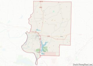
Map of Arkansas State and its subdivision:- Arkansas
- Ashley
- Baxter
- Benton
- Boone
- Bradley
- Calhoun
- Carroll
- Chicot
- Clark
- Clay
- Cleburne
- Cleveland
- Columbia
- Conway
- Craighead
- Crawford
- Crittenden
- Cross
- Dallas
- Desha
- Drew
- Faulkner
- Franklin
- Fulton
- Garland
- Grant
- Greene
- Hempstead
- Hot Spring
- Howard
- Independence
- Izard
- Jackson
- Jefferson
- Johnson
- Lafayette
- Lawrence
- Lee
- Lincoln
- Little River
- Logan
- Lonoke
- Madison
- Marion
- Miller
- Mississippi
- Monroe
- Montgomery
- Nevada
- Newton
- Ouachita
- Perry
- Phillips
- Pike
- Poinsett
- Polk
- Pope
- Prairie
- Pulaski
- Randolph
- Saint Francis
- Saline
- Scott
- Searcy
- Sebastian
- Sevier
- Sharp
- Stone
- Union
- Van Buren
- Washington
- White
- Woodruff
- Yell
- Alabama
- Alaska
- Arizona
- Arkansas
- California
- Colorado
- Connecticut
- Delaware
- District of Columbia
- Florida
- Georgia
- Hawaii
- Idaho
- Illinois
- Indiana
- Iowa
- Kansas
- Kentucky
- Louisiana
- Maine
- Maryland
- Massachusetts
- Michigan
- Minnesota
- Mississippi
- Missouri
- Montana
- Nebraska
- Nevada
- New Hampshire
- New Jersey
- New Mexico
- New York
- North Carolina
- North Dakota
- Ohio
- Oklahoma
- Oregon
- Pennsylvania
- Rhode Island
- South Carolina
- South Dakota
- Tennessee
- Texas
- Utah
- Vermont
- Virginia
- Washington
- West Virginia
- Wisconsin
- Wyoming
