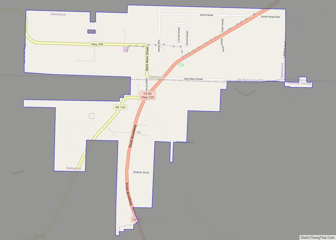
Damascus is a town in Faulkner and Van Buren counties of central Arkansas, United States. The population of Damascus was 382 at the 2010 census.
| Name: | Damascus town |
|---|---|
| LSAD Code: | 43 |
| LSAD Description: | town (suffix) |
| State: | Arkansas |
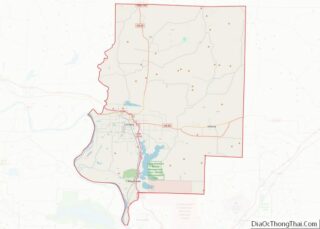
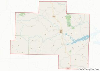
| County: | Faulkner County, Van Buren County |
| Incorporated: | July 15, 1966 |
| Elevation: | 696 ft (212 m) |
| Total Area: | 1.86 sq mi (4.82 km²) |
| Land Area: | 1.86 sq mi (4.82 km²) |
| Water Area: | 0.00 sq mi (0.00 km²) |
| Total Population: | 382 |
| Population Density: | 205.16/sq mi (79.20/km²) |
| ZIP code: | 72039 |
| Area code: | 501 |
| FIPS code: | 0517290 |
Online Interactive Map
Click on ![]() to view map in "full screen" mode.
to view map in "full screen" mode.
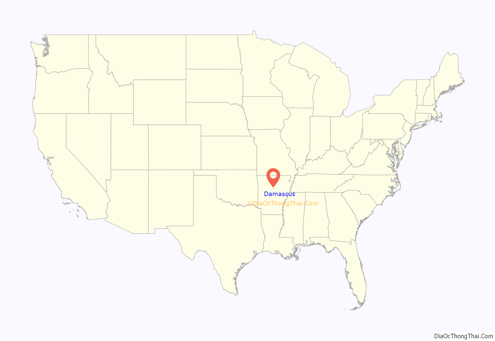
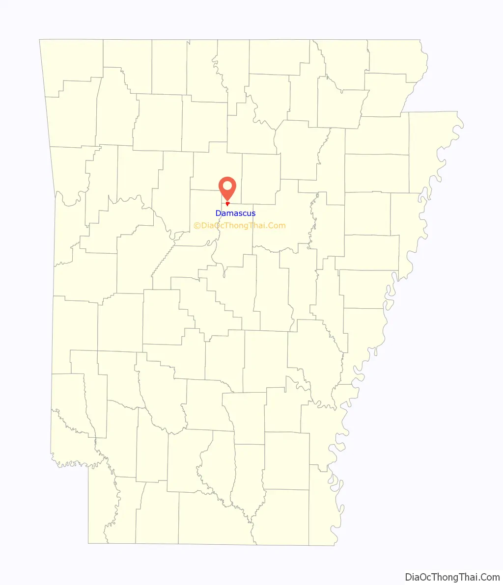
Damascus location map. Where is Damascus town?
History
Damascus is a town located in the Ozark foothills on a plateau surrounded by clear streams along U.S. Highway 65 on the county line between Faulkner and Van Buren counties. It is most known for its proximity to the Titan II missile base that operated from 1963 until 1980, when a missile explosion killed one person and injured twenty-one. Damascus is home to three Baptist churches, a Church of Christ that was built in 1917, and a Methodist church that was built in 1947. Though the Methodist congregation is no longer active, the Damascus Methodist Church Cemetery remains north of the town.
Damascus is also near the Gus Blass Scout Reservation, a Boy Scout Camp of 3,000 acres maintained by the Quapaw Area Council.
Broken Arrow Incident
Construction began on a Titan II missile base north of Damascus in 1961; the site became active on December 18, 1963. During routine maintenance in a Titan II silo, an Air Force repairman dropped a heavy wrench socket, which rolled off a work platform and fell toward the bottom of the silo. The socket bounced and struck the missile, causing a leak from a pressurized fuel tank. The missile complex and the surrounding area were evacuated and a team of specialists was called in from Little Rock Air Force Base, the missile’s main support base. About 8 1/2 hours after the initial puncture, fuel vapors within the silo ignited and exploded. The explosion fatally injured one member of the team. Twenty-one other USAR personnel were injured. The missile’s re-entry vehicle, which contained a nuclear warhead, was recovered intact. There was no radioactive contamination.
Damascus was the site of a nuclear “Broken Arrow” incident on September 18–19, 1980 when a Titan II ICBM exploded 3.3 miles (5.3 km) NNE of the town, although no radiation was spread as a result of the explosion.
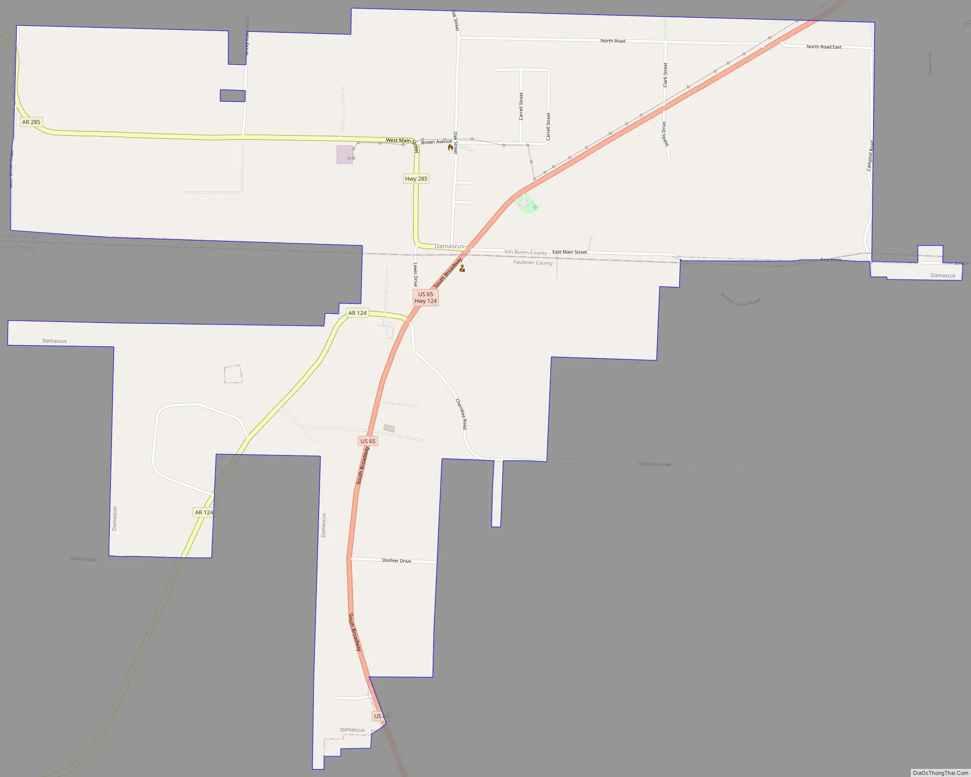
Damascus Road Map
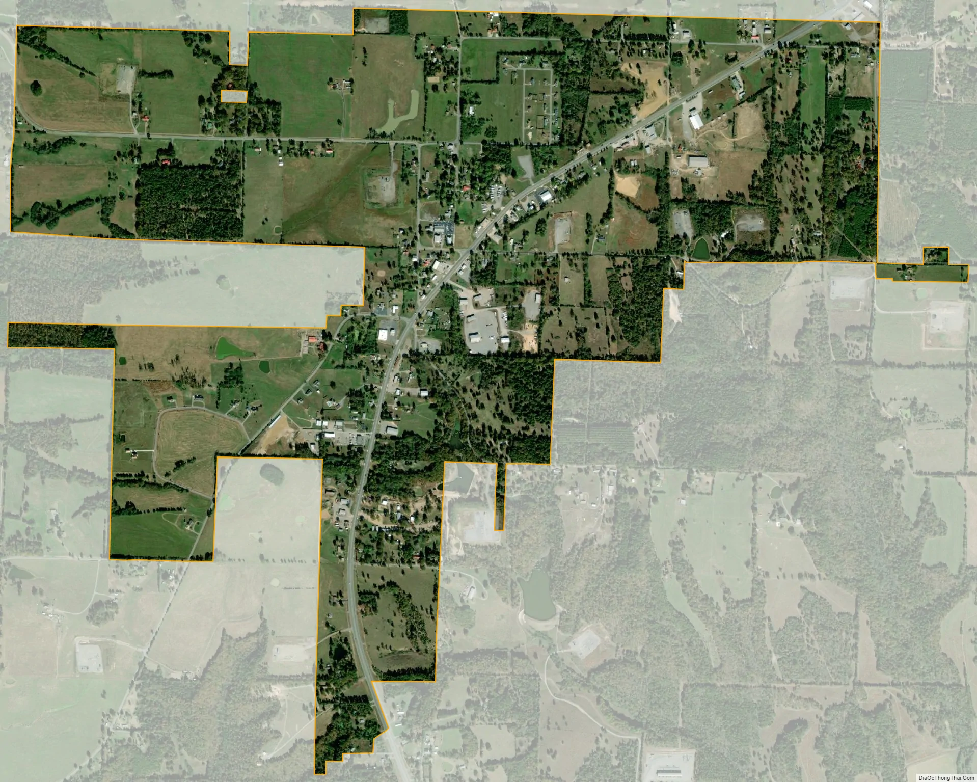
Damascus city Satellite Map
Geography
Damascus is located at 35°22′2″N 92°24′35″W / 35.36722°N 92.40972°W / 35.36722; -92.40972 (35.3673020, -92.4096005). According to the United States Census Bureau, the town has a total area of 5.0 km (1.9 mi²), all land.
See also
Map of Arkansas State and its subdivision:- Arkansas
- Ashley
- Baxter
- Benton
- Boone
- Bradley
- Calhoun
- Carroll
- Chicot
- Clark
- Clay
- Cleburne
- Cleveland
- Columbia
- Conway
- Craighead
- Crawford
- Crittenden
- Cross
- Dallas
- Desha
- Drew
- Faulkner
- Franklin
- Fulton
- Garland
- Grant
- Greene
- Hempstead
- Hot Spring
- Howard
- Independence
- Izard
- Jackson
- Jefferson
- Johnson
- Lafayette
- Lawrence
- Lee
- Lincoln
- Little River
- Logan
- Lonoke
- Madison
- Marion
- Miller
- Mississippi
- Monroe
- Montgomery
- Nevada
- Newton
- Ouachita
- Perry
- Phillips
- Pike
- Poinsett
- Polk
- Pope
- Prairie
- Pulaski
- Randolph
- Saint Francis
- Saline
- Scott
- Searcy
- Sebastian
- Sevier
- Sharp
- Stone
- Union
- Van Buren
- Washington
- White
- Woodruff
- Yell
- Alabama
- Alaska
- Arizona
- Arkansas
- California
- Colorado
- Connecticut
- Delaware
- District of Columbia
- Florida
- Georgia
- Hawaii
- Idaho
- Illinois
- Indiana
- Iowa
- Kansas
- Kentucky
- Louisiana
- Maine
- Maryland
- Massachusetts
- Michigan
- Minnesota
- Mississippi
- Missouri
- Montana
- Nebraska
- Nevada
- New Hampshire
- New Jersey
- New Mexico
- New York
- North Carolina
- North Dakota
- Ohio
- Oklahoma
- Oregon
- Pennsylvania
- Rhode Island
- South Carolina
- South Dakota
- Tennessee
- Texas
- Utah
- Vermont
- Virginia
- Washington
- West Virginia
- Wisconsin
- Wyoming