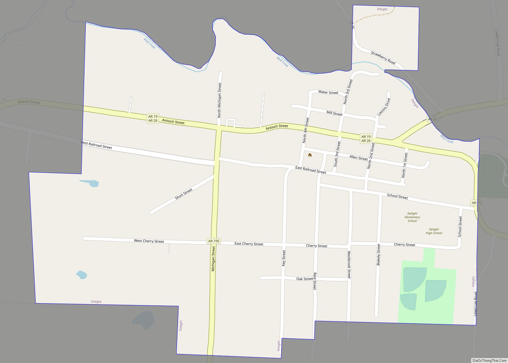
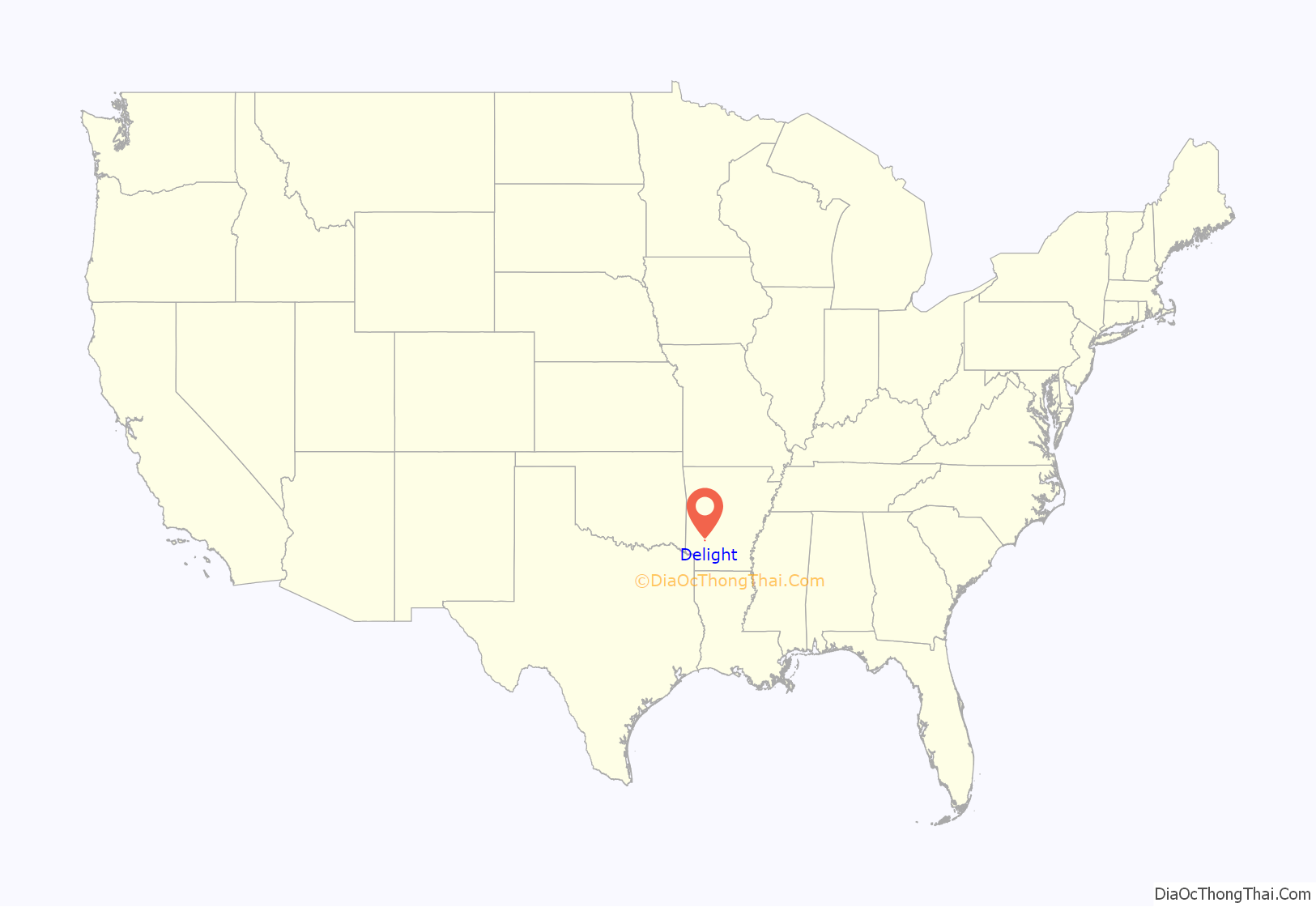
Delight is a town in Pike County, Arkansas, United States. The population was 279 at the 2010 census.
| Name: | Delight city |
|---|---|
| LSAD Code: | 25 |
| LSAD Description: | city (suffix) |
| State: | Arkansas |
| County: | Pike County |
| Elevation: | 348 ft (106 m) |
| Total Area: | 0.55 sq mi (1.43 km²) |
| Land Area: | 0.55 sq mi (1.43 km²) |
| Water Area: | 0.00 sq mi (0.01 km²) |
| Total Population: | 288 |
| Population Density: | 522.69/sq mi (201.65/km²) |
| ZIP code: | 71940 |
| Area code: | 870 |
| FIPS code: | 0518100 |
| GNISfeature ID: | 0057637 |
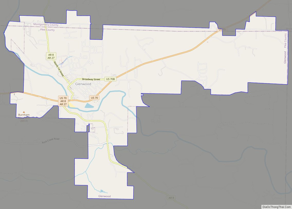
Online Interactive Map
Click on ![]() to view map in "full screen" mode.
to view map in "full screen" mode.
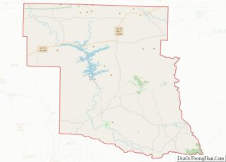
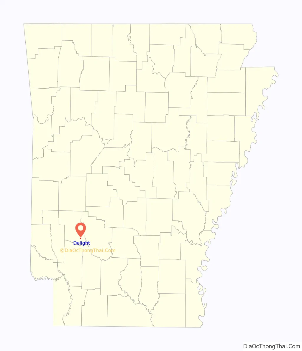
Delight location map. Where is Delight city?
History
Several decades after Pike County was formed and almost seventy years after Arkansas became a state, Delight became an incorporated town. The earliest known inhabitants of the area were the Quapaw Indians, a tribe of the great Dakotas who at one time had a population of many thousands. By the end of the eighteenth century, white settlers had begun making their homes near the banks of Wolf Creek. Some of the earliest residents of the area were the Kirkhams, Kelleys, Dixons, Dosses, Carpenters, Dosseys, Mobleys, Wards, Greens, Lambs, Reeves, Griffins, Clingmans, Wilsons, and Hancocks. On January 18, 1832, a post office was granted and called “Wolf Creek”. In the 1833 Territorial Papers of the United States proposals for mail contracts in Arkansas Territory, Wolf Creek was identified as a mail stop between Little Rock and Hempstead County Courthouse, which was in Washington at that time. The Wolf Creek post office was listed again in 1834, and the amount of postage from the Wolf Creek post office was $13.73 for that year.
On August 21, 1873, Samuel Hasley purchased almost 43 acres of land from the United States for $1.25 an acre. This acreage covers the present site of Delight. A few years later the land was sold to S. B. Dixon and wife, Nancy, who in turn sold it to Abner H. Hancock for $500. On January 4, 1853, he deeded it to David Mobley for the consideration of $700. This land remained in the Mobley family until 1860 when the heirs to David Mobley, then deceased, granted to convey their rights, titles, and interest to William H. Kirkham, his son in law, for the sum of $800. On December 13, 1895, Southwestern Arkansas, an Indian Territory Railroad Company, paid William H. Kirkham $1.00 for a 100-foot right-of-way and other territory through which their railroad was to be built. As the people of the community learned of the coming of the railroad, excitement grew. The prospects of train service brought new life into the community. A town site was provided and the location of the railroad station was selected. As William H. Kirkham, now a Confederate Army Veteran, had generously donated the town site, it was decided that he should choose the town’s name. Kirkham said, “This is such a delightful place to live, we shall call the town Delight.” The Pike County Court Record B, page 413, contains the proceedings for the incorporation Delight. On July 25, 1904, the petition for incorporation was read before the court and properly filed. It was recorded on September 9, 1905, with John Brock as the first mayor.
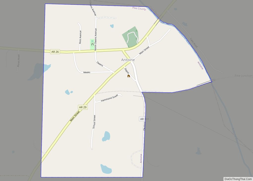
The coming of the new railroad brought new industry to Delight. R.B. F Key was interested in the timber business and he saw in the forests of virgin timber a veritable gold mine. He secured a site and proceeded to build a saw mill and planer. Early on a morning 1897 the whistle sounded and the wheels began to turn. Lumber was shipped far and near on the railroad but it was also used to build new houses for the residents of the Delight. Business boomed and so did Delight. Near the town, large deposits of gravel offered more industry. So carloads of gravel was also shipped over the new railroad. Key built a large hotel to accommodate the drummers who descended on the town to sell their wares to the rapidly expanding business district. Some of the early merchants were A. E. Westbrook, C. E. Reid, Bose and Jim Bratton, and the Geiser brothers. O. L Mckinney owned and operated the first cold drink stand. As the town grew, a need for a doctor arose. Antoine, a neighboring town 5 miles away, had shared its Dr. Kirkham with the community of Delight for a number of years. So Dr. Rice was the first to become the town’s physician in 1903. After Dr. Rice, Dr. Rodgers moved to Delight from Mississippi and practiced medicine for several years. Other doctors who gave unstintingly of their time were Dr. Walls, Dr. Newt Slaughter, Dr. Joe Thomasson, Dr. W. P. Hemby, and Dr. B. S. Stokes. Dr. Hemby’s brother, Hosea, operated a drug store. Ed Brewer became the town’s first post master.
About the year 1909 Key sold his saw mill and planer to the Blakely brothers and for six to seven years they continued to operate the mill. But the forest had been mostly cut over and the saw mill business could no longer be profitable to the owners. So the business was closed and people became interested in other work. Farming was one of the principal occupations with cotton as the leading crop. By 1919 Delight was a very good cotton market. The twenties were very prosperous years. Money was plentiful and credit was easy. When the depression hit in 1930, Delight, like, all other towns and cities across the nation, became paralyzed with fear. But they never gave up hope for a better day. And that day came in 1936, when the Ozan Lumber Company of Prescott began construction of a large saw mill and planer and by January 1937 the wheels of industry began to turn again for the city. New housing projects were completed and for the second time Delight became a thriving mill town.
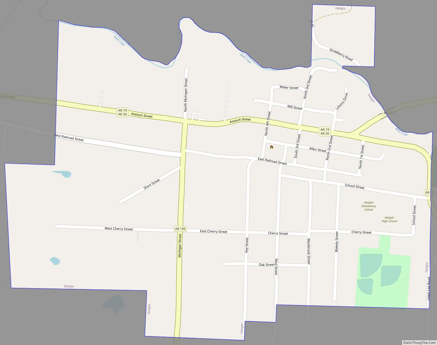
Delight Road Map
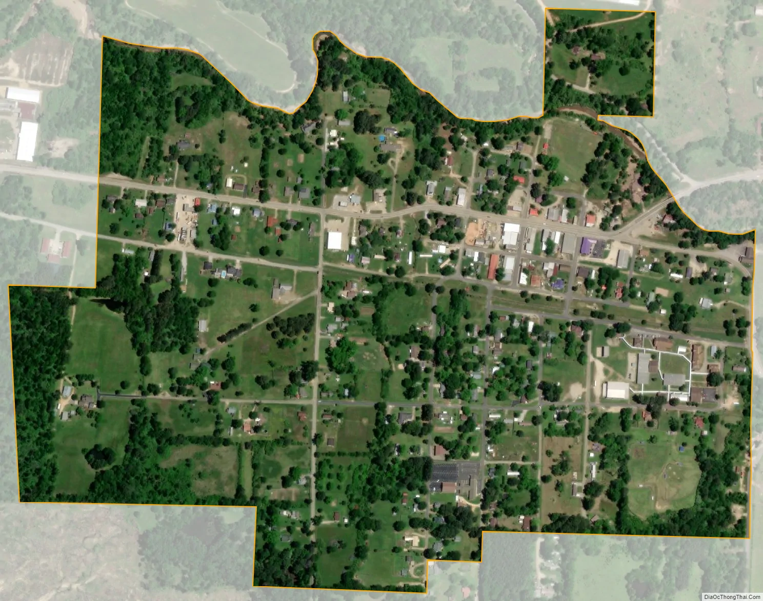
Delight city Satellite Map
Geography
Delight is located at 34°1′51″N 93°30′12″W / 34.03083°N 93.50333°W / 34.03083; -93.50333 (34.030717, -93.503269).
According to the United States Census Bureau, the city has a total area of 0.5 square miles (1.3 km), all land.
See also
Map of Arkansas State and its subdivision:- Arkansas
- Ashley
- Baxter
- Benton
- Boone
- Bradley
- Calhoun
- Carroll
- Chicot
- Clark
- Clay
- Cleburne
- Cleveland
- Columbia
- Conway
- Craighead
- Crawford
- Crittenden
- Cross
- Dallas
- Desha
- Drew
- Faulkner
- Franklin
- Fulton
- Garland
- Grant
- Greene
- Hempstead
- Hot Spring
- Howard
- Independence
- Izard
- Jackson
- Jefferson
- Johnson
- Lafayette
- Lawrence
- Lee
- Lincoln
- Little River
- Logan
- Lonoke
- Madison
- Marion
- Miller
- Mississippi
- Monroe
- Montgomery
- Nevada
- Newton
- Ouachita
- Perry
- Phillips
- Pike
- Poinsett
- Polk
- Pope
- Prairie
- Pulaski
- Randolph
- Saint Francis
- Saline
- Scott
- Searcy
- Sebastian
- Sevier
- Sharp
- Stone
- Union
- Van Buren
- Washington
- White
- Woodruff
- Yell
- Alabama
- Alaska
- Arizona
- Arkansas
- California
- Colorado
- Connecticut
- Delaware
- District of Columbia
- Florida
- Georgia
- Hawaii
- Idaho
- Illinois
- Indiana
- Iowa
- Kansas
- Kentucky
- Louisiana
- Maine
- Maryland
- Massachusetts
- Michigan
- Minnesota
- Mississippi
- Missouri
- Montana
- Nebraska
- Nevada
- New Hampshire
- New Jersey
- New Mexico
- New York
- North Carolina
- North Dakota
- Ohio
- Oklahoma
- Oregon
- Pennsylvania
- Rhode Island
- South Carolina
- South Dakota
- Tennessee
- Texas
- Utah
- Vermont
- Virginia
- Washington
- West Virginia
- Wisconsin
- Wyoming