Dumas is a city in Desha County, Arkansas, United States. The population was 4,706 at the 2010 census.
| Name: | Dumas city |
|---|---|
| LSAD Code: | 25 |
| LSAD Description: | city (suffix) |
| State: | Arkansas |
| County: | Desha County |
| Elevation: | 164 ft (50 m) |
| Total Area: | 2.91 sq mi (7.53 km²) |
| Land Area: | 2.91 sq mi (7.53 km²) |
| Water Area: | 0.00 sq mi (0.00 km²) |
| Total Population: | 4,001 |
| Population Density: | 1,376.81/sq mi (531.65/km²) |
| Area code: | 870 |
| FIPS code: | 0519990 |
| GNISfeature ID: | 0048697 |
| Website: | dumasar.net |
Online Interactive Map
Click on ![]() to view map in "full screen" mode.
to view map in "full screen" mode.
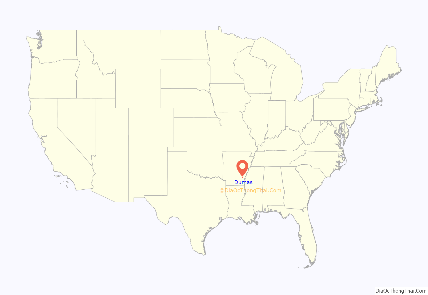
Dumas location map. Where is Dumas city?
History
In 1870, a planter, merchant and surveyor of French descent, William B. Dumas, bought acres of farmland from the Abercrombie Holmes family. The area was named Watson District and the town continued to develop. Then, the District was renamed Dumas and was incorporated in 1904.
Dumas proudly proclaims itself as “Home of the Ding Dong Daddy”, a reference to the vaudeville song “I’m a Ding Dong Daddy from Dumas” by Phil Baxter. However, this is up for debate, as the city of Dumas, Texas, also lays claim, with some documentation, to the song being about them.
On February 24, 2007, Dumas was struck by a long-tracked F3 tornado. Twenty-eight people were injured, and many homes and business were damaged or destroyed. Police said on CNN that “the feed mill was the local employer and now it is gone”. Following the storm, U.S. Senator Mark Pryor criticized the Federal Emergency Management Agency’s response to the recovery and cleanup efforts.
On March 19, 2022, two gunmen killed one person and injured at least 26 others, including six children, at the Hood-Nic Festival, an annual car show held in the city. One suspect was later arrested and admitted to firing a gun at another man present at the festival.
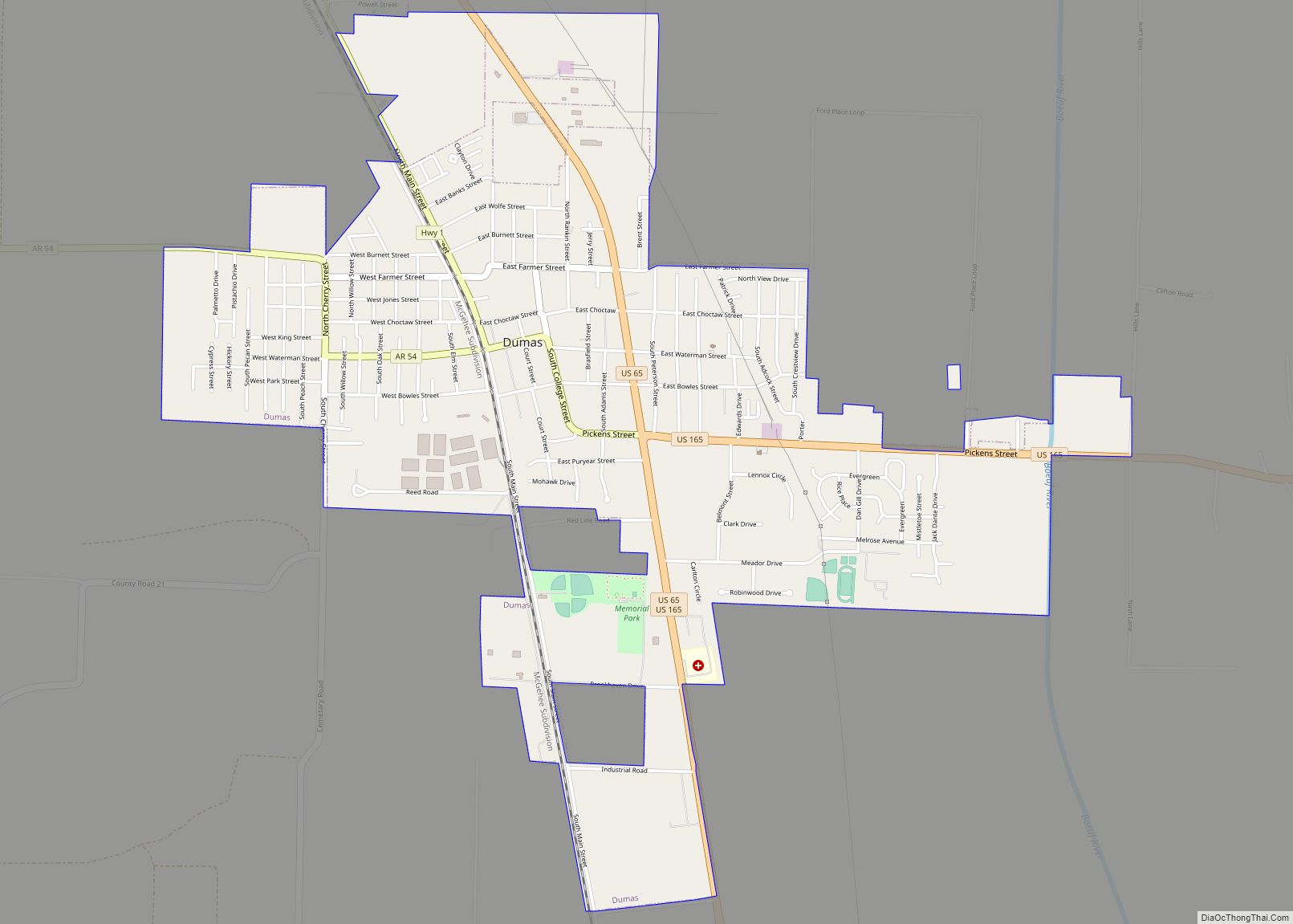
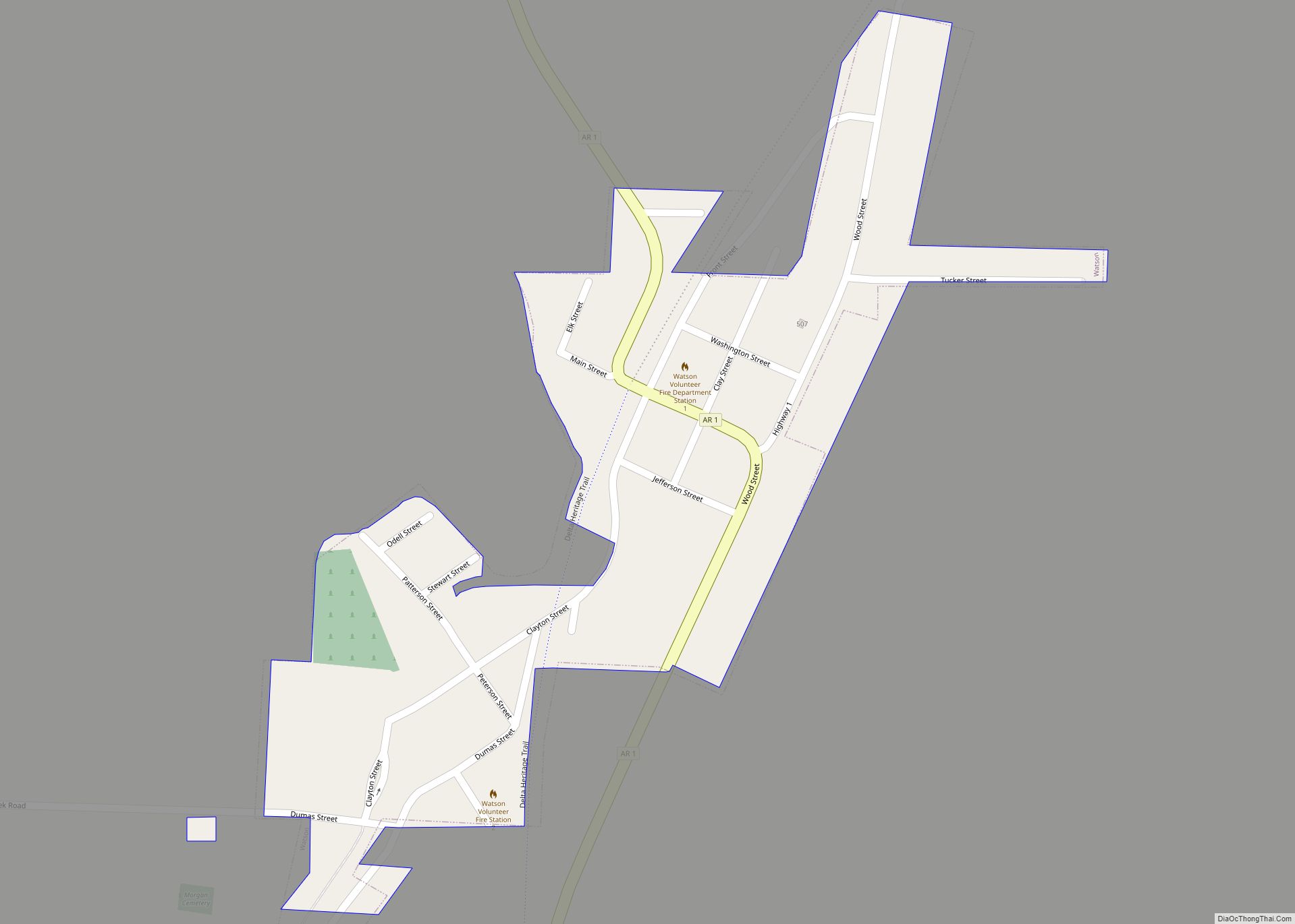
Dumas Road Map
Dumas city Satellite Map
Geography
Dumas is located in northwestern Desha County at 33°53′12″N 91°29′19″W / 33.88667°N 91.48861°W / 33.88667; -91.48861 (33.886626, -91.488544). According to the United States Census Bureau, the city has a total area of 3.2 square miles (8.4 km), all land. The city is located in the Delta Lowlands sub-region of the Arkansas Delta, producing a topography which is largely flat.
See also
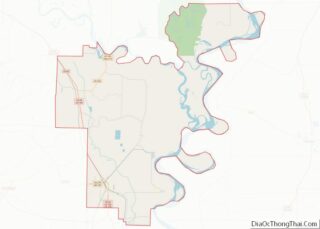
Map of Arkansas State and its subdivision:- Arkansas
- Ashley
- Baxter
- Benton
- Boone
- Bradley
- Calhoun
- Carroll
- Chicot
- Clark
- Clay
- Cleburne
- Cleveland
- Columbia
- Conway
- Craighead
- Crawford
- Crittenden
- Cross
- Dallas
- Desha
- Drew
- Faulkner
- Franklin
- Fulton
- Garland
- Grant
- Greene
- Hempstead
- Hot Spring
- Howard
- Independence
- Izard
- Jackson
- Jefferson
- Johnson
- Lafayette
- Lawrence
- Lee
- Lincoln
- Little River
- Logan
- Lonoke
- Madison
- Marion
- Miller
- Mississippi
- Monroe
- Montgomery
- Nevada
- Newton
- Ouachita
- Perry
- Phillips
- Pike
- Poinsett
- Polk
- Pope
- Prairie
- Pulaski
- Randolph
- Saint Francis
- Saline
- Scott
- Searcy
- Sebastian
- Sevier
- Sharp
- Stone
- Union
- Van Buren
- Washington
- White
- Woodruff
- Yell
- Alabama
- Alaska
- Arizona
- Arkansas
- California
- Colorado
- Connecticut
- Delaware
- District of Columbia
- Florida
- Georgia
- Hawaii
- Idaho
- Illinois
- Indiana
- Iowa
- Kansas
- Kentucky
- Louisiana
- Maine
- Maryland
- Massachusetts
- Michigan
- Minnesota
- Mississippi
- Missouri
- Montana
- Nebraska
- Nevada
- New Hampshire
- New Jersey
- New Mexico
- New York
- North Carolina
- North Dakota
- Ohio
- Oklahoma
- Oregon
- Pennsylvania
- Rhode Island
- South Carolina
- South Dakota
- Tennessee
- Texas
- Utah
- Vermont
- Virginia
- Washington
- West Virginia
- Wisconsin
- Wyoming
