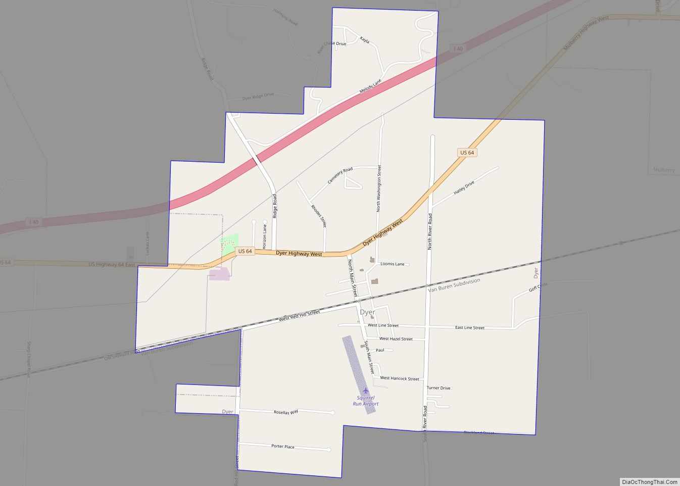
Dyer is a city in Crawford County, Arkansas, United States. It is part of the Fort Smith, Arkansas–Oklahoma Metropolitan Statistical Area. The population was 876 at the 2010 census.
| Name: | Dyer city |
|---|---|
| LSAD Code: | 25 |
| LSAD Description: | city (suffix) |
| State: | Arkansas |
| County: | Crawford County |
| Elevation: | 430 ft (130 m) |
| Total Area: | 2.94 sq mi (7.62 km²) |
| Land Area: | 2.94 sq mi (7.62 km²) |
| Water Area: | 0.00 sq mi (0.00 km²) |
| Total Population: | 772 |
| Population Density: | 262.50/sq mi (101.36/km²) |
| ZIP code: | 72935 |
| Area code: | 479 |
| FIPS code: | 0520200 |
| GNISfeature ID: | 2403523 |
| Website: | www.cityofdyerar.com |
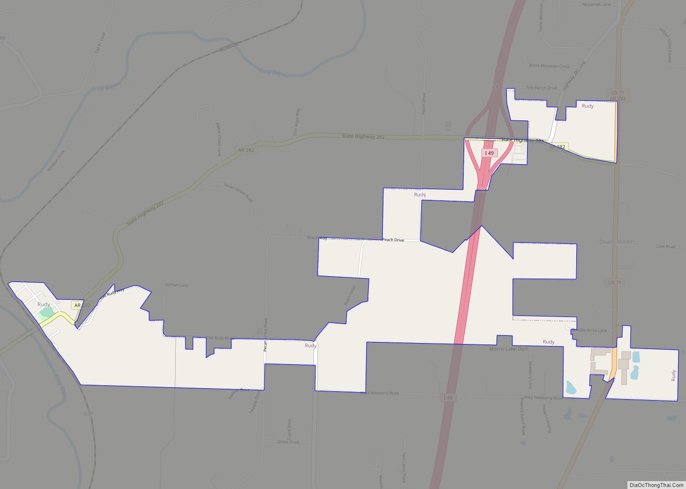
Online Interactive Map
Click on ![]() to view map in "full screen" mode.
to view map in "full screen" mode.
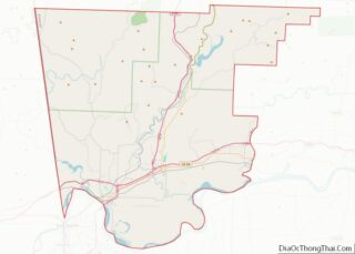
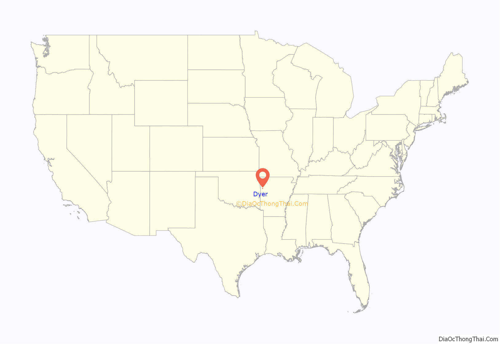
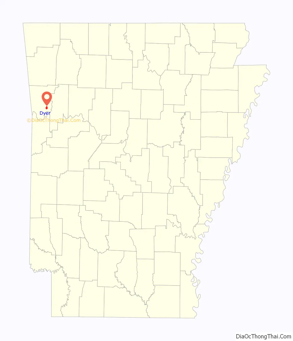
Dyer location map. Where is Dyer city?
History
Dyer was platted in 1884 by G. E. Dyer soon after the Little Rock and Fort Smith Railroad was extended to that point. The community has the name of the local Dyer family; S. M. Dyer bought the town site in 1870. A post office has been in operation at Dyer since 1885.
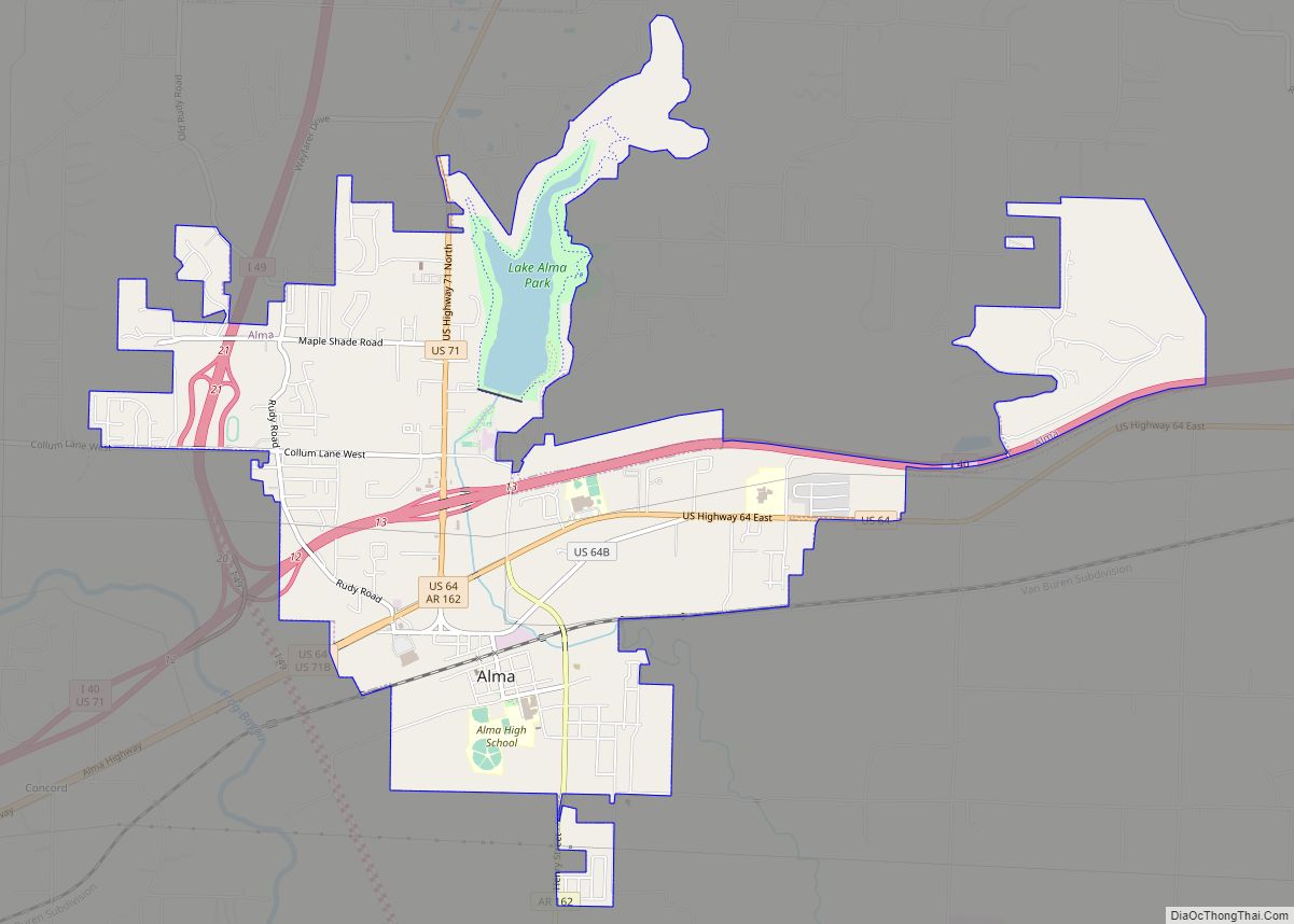
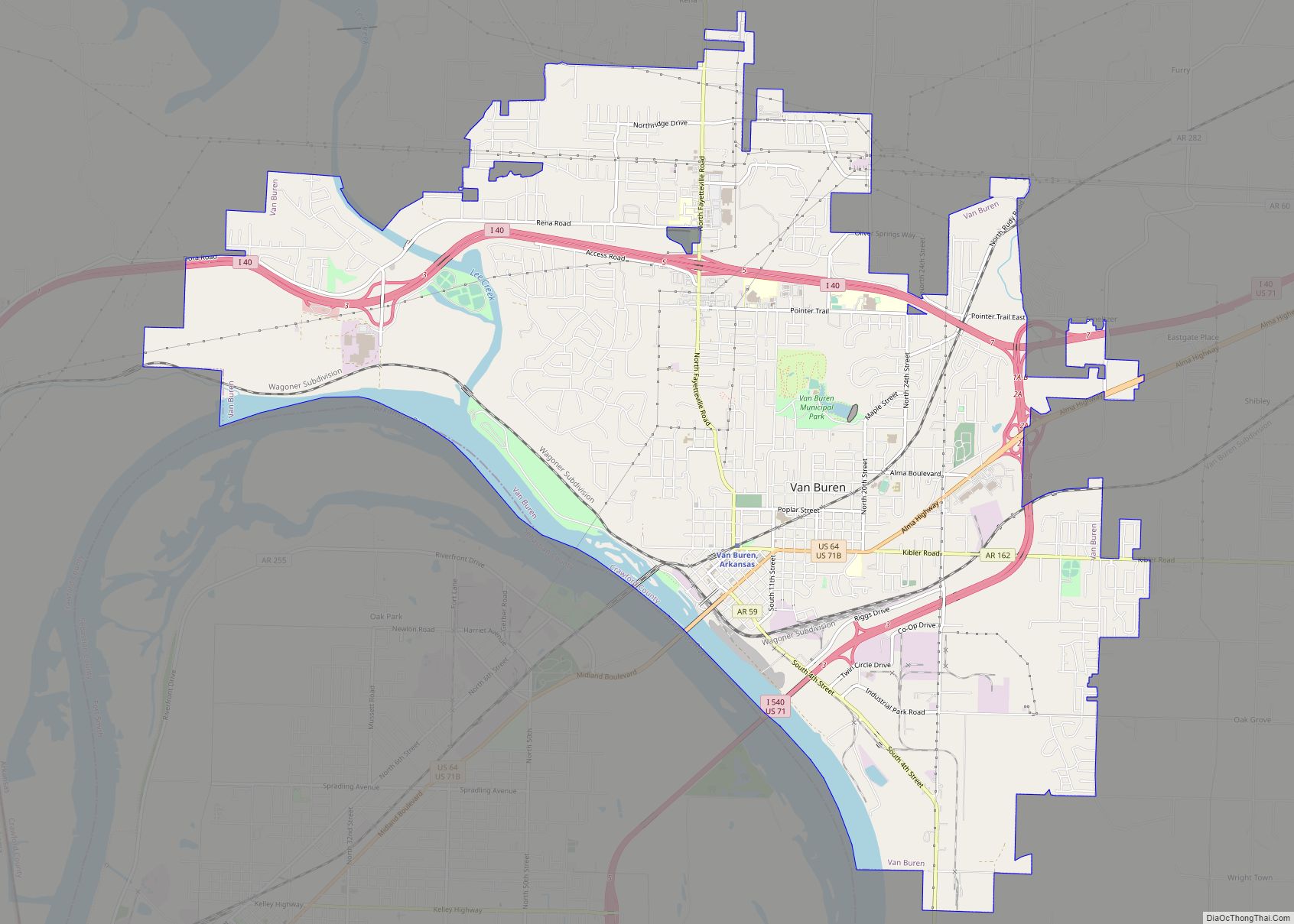
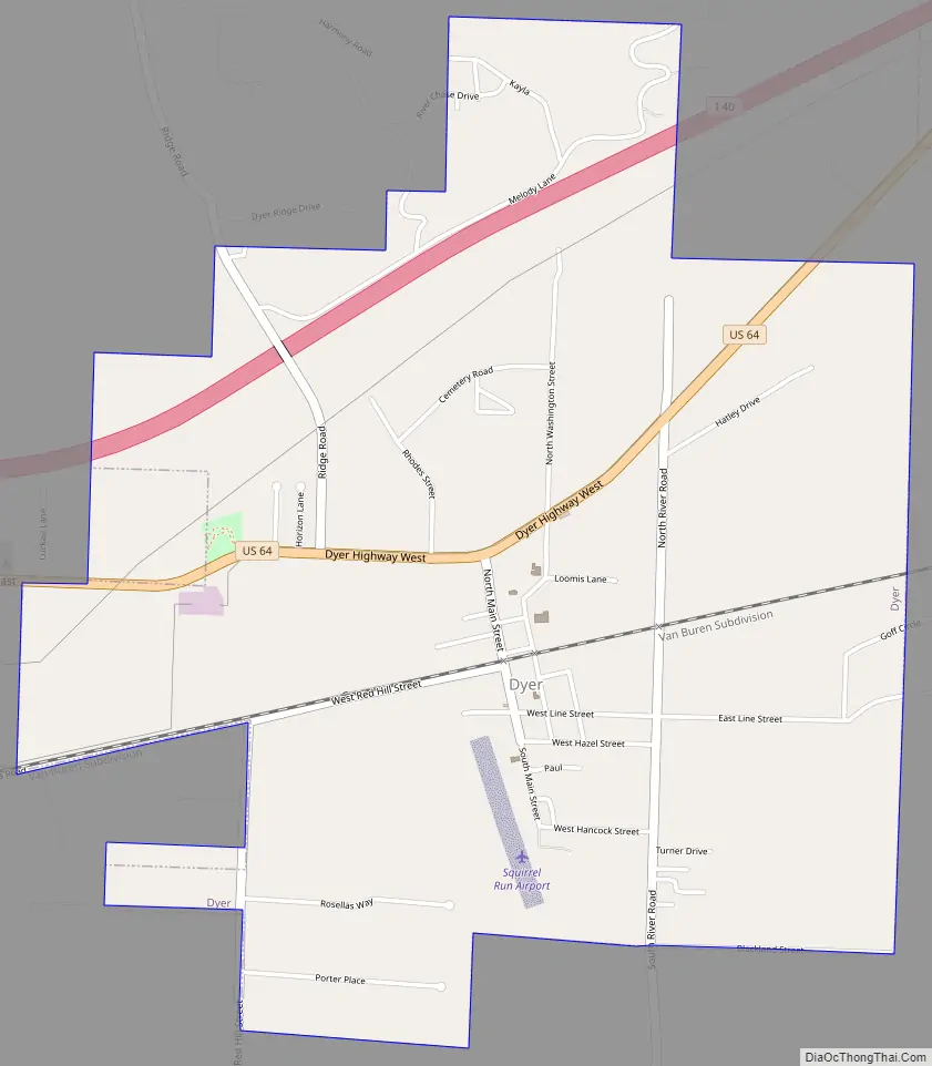
Dyer Road Map
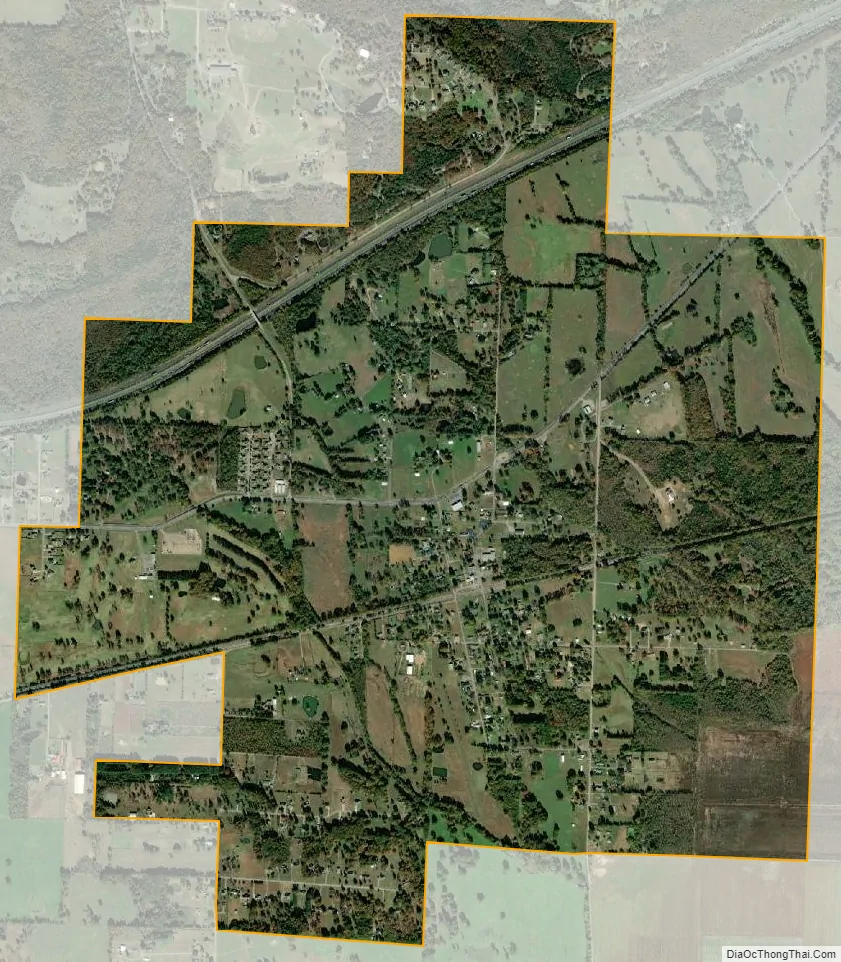
Dyer city Satellite Map
Geography
Dyer is located in southeastern Crawford County in the Arkansas River valley. U.S. Route 64 passes through the community, leading west 5 miles (8 km) to Alma and 13 miles (21 km) to Van Buren, the county seat, and east 5 miles (8 km) to Mulberry. Interstate 40 passes through the northern part of Dyer but does not have a direct exit for the city; the nearest access is from Exit 20 in the western part of Mulberry.
According to the United States Census Bureau, Dyer has a total area of 2.6 square miles (6.8 km), all land.
See also
Map of Arkansas State and its subdivision:- Arkansas
- Ashley
- Baxter
- Benton
- Boone
- Bradley
- Calhoun
- Carroll
- Chicot
- Clark
- Clay
- Cleburne
- Cleveland
- Columbia
- Conway
- Craighead
- Crawford
- Crittenden
- Cross
- Dallas
- Desha
- Drew
- Faulkner
- Franklin
- Fulton
- Garland
- Grant
- Greene
- Hempstead
- Hot Spring
- Howard
- Independence
- Izard
- Jackson
- Jefferson
- Johnson
- Lafayette
- Lawrence
- Lee
- Lincoln
- Little River
- Logan
- Lonoke
- Madison
- Marion
- Miller
- Mississippi
- Monroe
- Montgomery
- Nevada
- Newton
- Ouachita
- Perry
- Phillips
- Pike
- Poinsett
- Polk
- Pope
- Prairie
- Pulaski
- Randolph
- Saint Francis
- Saline
- Scott
- Searcy
- Sebastian
- Sevier
- Sharp
- Stone
- Union
- Van Buren
- Washington
- White
- Woodruff
- Yell
- Alabama
- Alaska
- Arizona
- Arkansas
- California
- Colorado
- Connecticut
- Delaware
- District of Columbia
- Florida
- Georgia
- Hawaii
- Idaho
- Illinois
- Indiana
- Iowa
- Kansas
- Kentucky
- Louisiana
- Maine
- Maryland
- Massachusetts
- Michigan
- Minnesota
- Mississippi
- Missouri
- Montana
- Nebraska
- Nevada
- New Hampshire
- New Jersey
- New Mexico
- New York
- North Carolina
- North Dakota
- Ohio
- Oklahoma
- Oregon
- Pennsylvania
- Rhode Island
- South Carolina
- South Dakota
- Tennessee
- Texas
- Utah
- Vermont
- Virginia
- Washington
- West Virginia
- Wisconsin
- Wyoming