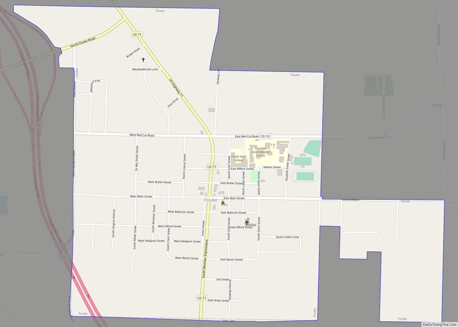
Fouke /ˈfaʊk/ is a city in Miller County, Arkansas, United States. It is part of the Texarkana, Texas – Texarkana, Arkansas Metropolitan Statistical Area. The population was 808 at the 2020 census.
It received brief widespread attention in the early 1970s due to sightings/claims of a bigfoot-like creature known as the “Fouke Monster”, as well as the subsequent fictitious docudrama movie The Legend of Boggy Creek, which played nationwide.
| Name: | Fouke city |
|---|---|
| LSAD Code: | 25 |
| LSAD Description: | city (suffix) |
| State: | Arkansas |
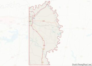
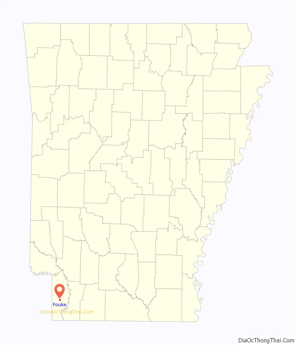
| County: | Miller County |
| Elevation: | 312 ft (95 m) |
| Total Area: | 1.36 sq mi (3.51 km²) |
| Land Area: | 1.36 sq mi (3.51 km²) |
| Water Area: | 0.00 sq mi (0.00 km²) |
| Total Population: | 808 |
| Population Density: | 595.87/sq mi (230.10/km²) |
| ZIP code: | 71837 |
| Area code: | 870 |
| FIPS code: | 0524640 |
| GNISfeature ID: | 0057767 |
| Website: | cityoffouke.com |
Online Interactive Map
Click on ![]() to view map in "full screen" mode.
to view map in "full screen" mode.
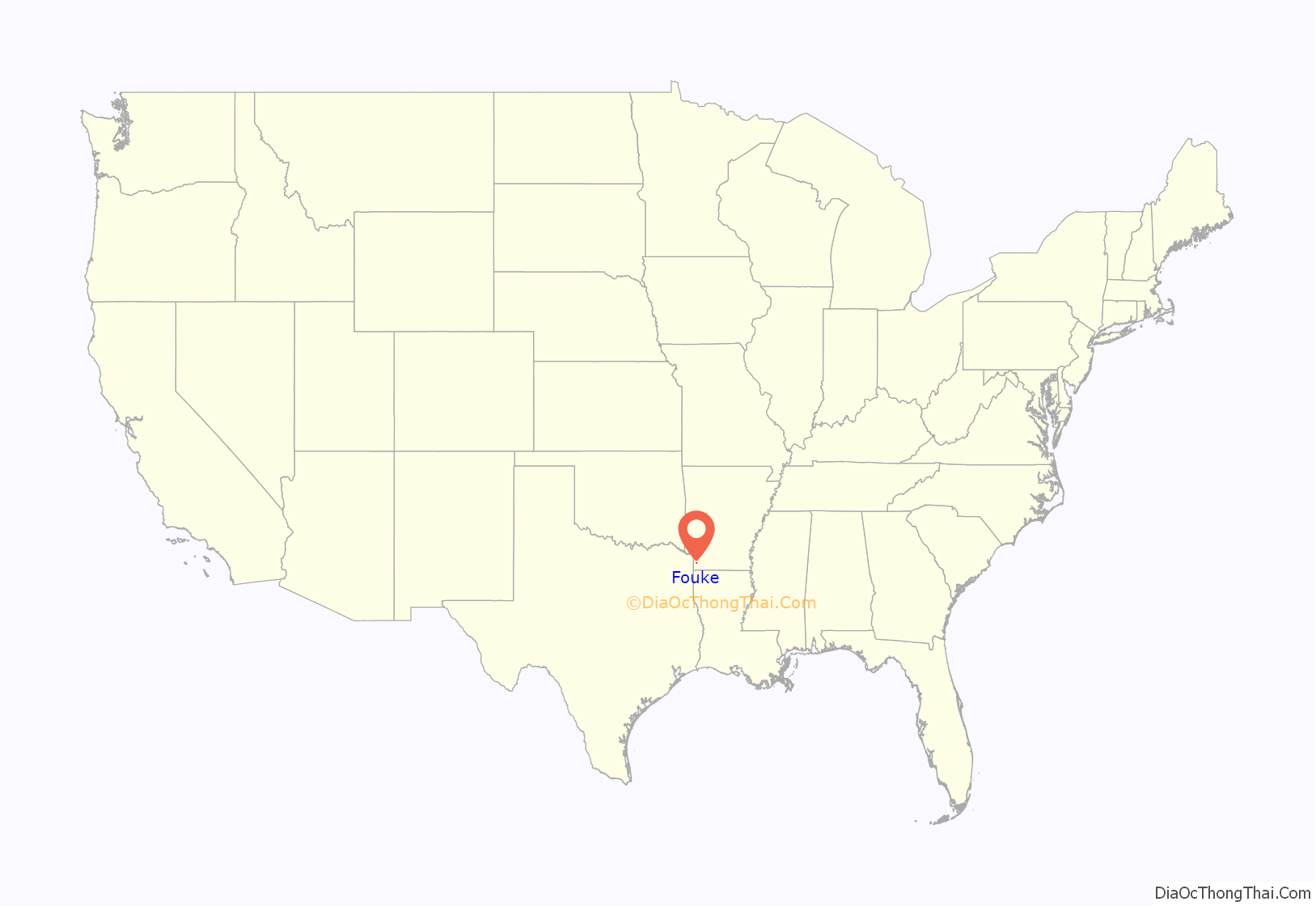
Fouke location map. Where is Fouke city?
History
The area around Fouke had long been inhabited by the Native American Caddo people, prior to European colonization of the Americas. Caddo tribes and European explorers traded pelts, honey, beeswax, flour, tobacco, blankets, guns, and other items. After the Louisiana Purchase, the United States established the Sulphur Fork Factory (trading post) where the Sulphur River enters the Red River. In the years following Arkansas statehood, settlers began flowing steadily into the area and the Caddo population was greatly diminished.
In 1889, Seventh Day Baptist minister James Franklin Shaw and his followers were seeking an area to establish a new colony. In 1890, they chose a site along the Texarkana, Shreveport and Natchez Railroad, where a small timber line ended at Fouke’s Sawmill. The streets were named for prominent, nationally known Baptists, and upon advertising the area with the offer of reasonably priced land, affordable lumber, and free railroad passage, pioneers traveled to the area from as far away as Idaho, Illinois, and West Virginia.
James H. Fouke, a Presbyterian entrepreneur, lumberman, and railroad executive, helped them establish their colony, and in 1902 he donated land for a school. The city of Fouke was named in his honor.
By the early 1920s, the farming and timber industries had brought people of many faiths to the community. A new Texas and Pacific Railroad depot was constructed in 1906, and the community was incorporated in 1911. Population growth increased during the 1920s oil boom, and in 1928 construction of U.S. Route 71 further increased Fouke’s employment opportunities.
During the Prohibition era of 1920–1936, Fouke suffered violent deaths of many men in relation to the illegal trafficking of liquor. Interstate commerce was not well coordinated during that time, which made Fouke’s location attractive to those who would commit crimes and then cross the adjoining border(s).
Since the 1920s, Fouke has been a sundown town.
The Fouke State Bank was chartered in 1914, but it went broke during the Great Depression, and job losses in the community caused many to accept work as part of Depression-era programs such as the Civilian Conservation Corps and the Works Progress Administration. It was not until World War II that large numbers of the citizens found employment at the newly established Lone Star Army Ammunition Plant and Red River Army Depot, which were located just west of Texarkana.
Since its incorporation, the city of Fouke has seen many improvements to its infrastructure. Dirt and gravel streets were paved in 1958. A new city hall, jail, and fire station were constructed in 1962. A new “Deep-Well” water system was completed in 1966, and the city’s sewer system was completed in 1988.
In 1972, Fouke received national attention when Charles B. Pierce produced a movie called The Legend of Boggy Creek. The movie chronicled the alleged existence of a large, hairy, ape-like creature called the “Fouke Monster”. A number of local citizens were cast, and the movie used area wetlands, rivers, and creeks for its location.
In 2001 Fouke celebrated the grand opening of the Fouke Community Center, and the grand opening of the Miller County Historical and Family Museum was celebrated in 2003.
In 2010, Fouke citizens dedicated the Veterans Memorial Park. The memorial covers two-thirds of a city block. It is a perpetually flagged and lighted monument that contains a growing list of veterans’ names and military histories.
In 2011, local groups such as the Citizens for a Better Community raised funds to provide improvements that include “Welcome” signs on Highway 71 at the north and south ends of the city, along with various beautification and community service projects. They purchased one of Fouke’s historic homes with a plan to renovate and restore it to create an events center and community library. By that time, the Fouke School District had become the city’s largest employer, with more than 1,000 students and more than 165 employees.
In 2013, Fouke began the Boggy Creek Festival to promote the local area, bring together the community, and to share information and humor about the “Fouke Monster”.
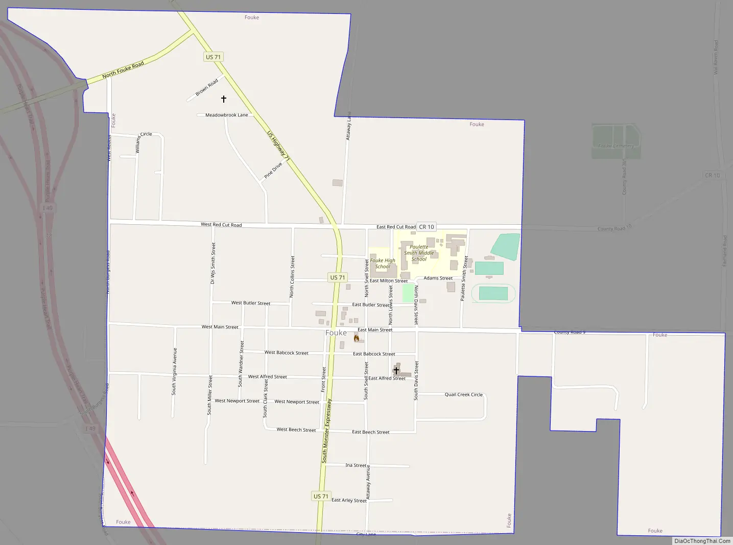
Fouke Road Map
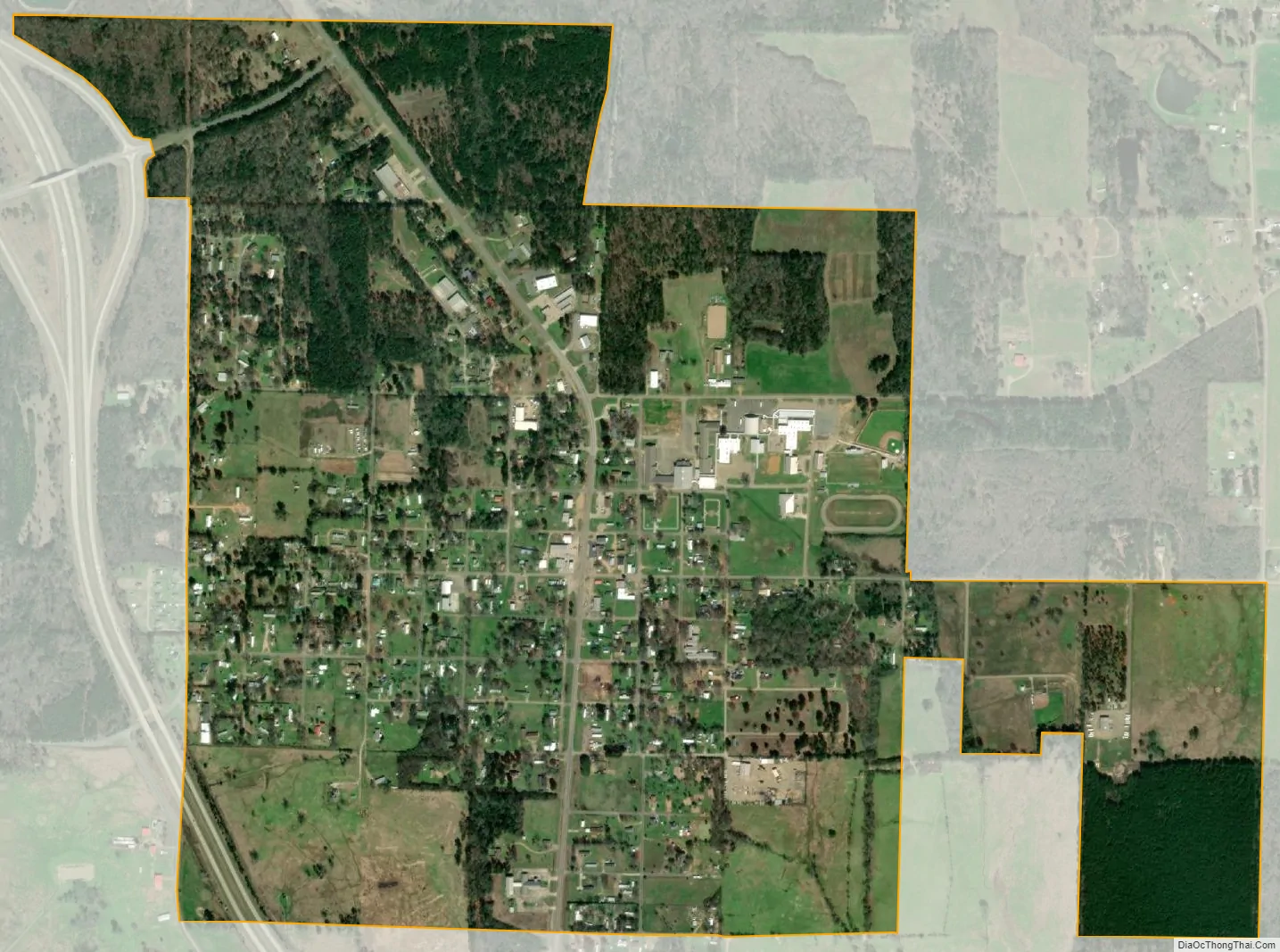
Fouke city Satellite Map
Geography
Fouke is located at 33°15′39″N 93°53′12″W / 33.26083°N 93.88667°W / 33.26083; -93.88667 (33.260908, -93.886629) in central Miller County, along U.S. Highway 71. Interstate 49 passes just to the west of the city limits and serves the city with two exits. Fouke is 15 miles (24 km) southeast of Texarkana and about 55 miles (89 km) north of Shreveport, Louisiana, by either highway. The Red River passes less than 10 miles (16 km) to the east and south of Fouke.
According to the United States Census Bureau, the city has a total area of 1.4 square miles (3.6 km), all land.
See also
Map of Arkansas State and its subdivision:- Arkansas
- Ashley
- Baxter
- Benton
- Boone
- Bradley
- Calhoun
- Carroll
- Chicot
- Clark
- Clay
- Cleburne
- Cleveland
- Columbia
- Conway
- Craighead
- Crawford
- Crittenden
- Cross
- Dallas
- Desha
- Drew
- Faulkner
- Franklin
- Fulton
- Garland
- Grant
- Greene
- Hempstead
- Hot Spring
- Howard
- Independence
- Izard
- Jackson
- Jefferson
- Johnson
- Lafayette
- Lawrence
- Lee
- Lincoln
- Little River
- Logan
- Lonoke
- Madison
- Marion
- Miller
- Mississippi
- Monroe
- Montgomery
- Nevada
- Newton
- Ouachita
- Perry
- Phillips
- Pike
- Poinsett
- Polk
- Pope
- Prairie
- Pulaski
- Randolph
- Saint Francis
- Saline
- Scott
- Searcy
- Sebastian
- Sevier
- Sharp
- Stone
- Union
- Van Buren
- Washington
- White
- Woodruff
- Yell
- Alabama
- Alaska
- Arizona
- Arkansas
- California
- Colorado
- Connecticut
- Delaware
- District of Columbia
- Florida
- Georgia
- Hawaii
- Idaho
- Illinois
- Indiana
- Iowa
- Kansas
- Kentucky
- Louisiana
- Maine
- Maryland
- Massachusetts
- Michigan
- Minnesota
- Mississippi
- Missouri
- Montana
- Nebraska
- Nevada
- New Hampshire
- New Jersey
- New Mexico
- New York
- North Carolina
- North Dakota
- Ohio
- Oklahoma
- Oregon
- Pennsylvania
- Rhode Island
- South Carolina
- South Dakota
- Tennessee
- Texas
- Utah
- Vermont
- Virginia
- Washington
- West Virginia
- Wisconsin
- Wyoming