Georgetown is a town in southeastern White County, Arkansas, United States, overlooking the White River. First settled in 1789 before the Louisiana Purchase, the community is the oldest continuously settled area in Arkansas.
| Name: | Georgetown town |
|---|---|
| LSAD Code: | 43 |
| LSAD Description: | town (suffix) |
| State: | Arkansas |
| County: | White County |
| Founded: | 1789 |
| Incorporated: | 1986 |
| Elevation: | 203 ft (62 m) |
| Total Area: | 0.29 sq mi (0.75 km²) |
| Land Area: | 0.29 sq mi (0.75 km²) |
| Water Area: | 0.00 sq mi (0.00 km²) |
| Total Population: | 81 |
| Population Density: | 280.28/sq mi (108.31/km²) |
| ZIP code: | 72143 |
| Area code: | 501 |
| FIPS code: | 0526440 |
| GNISfeature ID: | 0057810 |
Online Interactive Map
Click on ![]() to view map in "full screen" mode.
to view map in "full screen" mode.
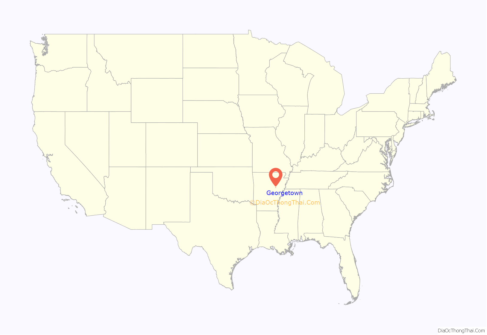
Georgetown location map. Where is Georgetown town?
History
The settlement of Arkansas Post, which began in 1686, came more than a century earlier, though that community dissolved in the years following the American Civil War. The state’s next oldest community after Georgetown — Batesville — was founded approximately 21 years later.
In 1945, the White River flooded its banks in Georgetown. The disaster contributed to the demise the next year of the Missouri and North Arkansas Railroad, which had provided passenger and freight service since 1906 from Joplin, Missouri, to Helena, Arkansas.
The population of Georgetown was 126 at the 2000 census.
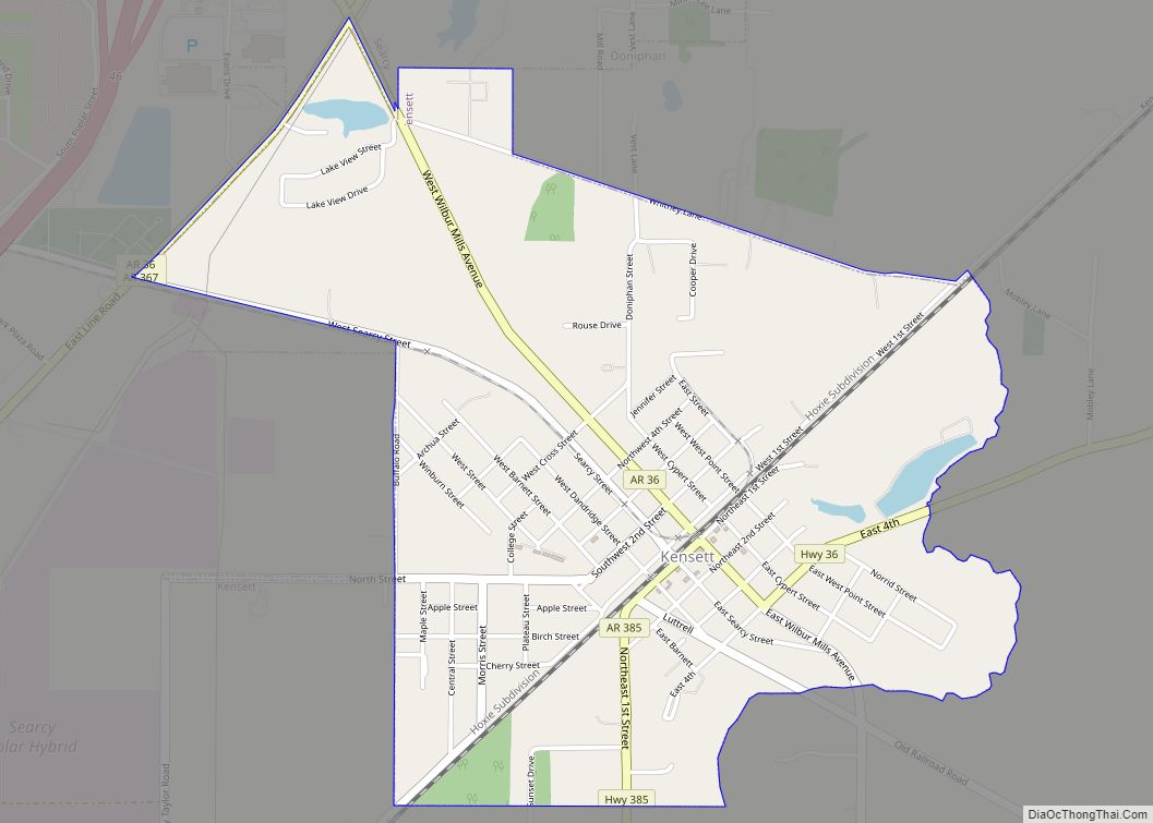
Georgetown Road Map
Georgetown city Satellite Map
Geography
Georgetown is located at 35°7′40″N 91°27′12″W / 35.12778°N 91.45333°W / 35.12778; -91.45333 (35.127827, -91.453459).
According to the United States Census Bureau, the town has a total area of 0.7 km (0.3 mi), all land.
See also
Map of Arkansas State and its subdivision:- Arkansas
- Ashley
- Baxter
- Benton
- Boone
- Bradley
- Calhoun
- Carroll
- Chicot
- Clark
- Clay
- Cleburne
- Cleveland
- Columbia
- Conway
- Craighead
- Crawford
- Crittenden
- Cross
- Dallas
- Desha
- Drew
- Faulkner
- Franklin
- Fulton
- Garland
- Grant
- Greene
- Hempstead
- Hot Spring
- Howard
- Independence
- Izard
- Jackson
- Jefferson
- Johnson
- Lafayette
- Lawrence
- Lee
- Lincoln
- Little River
- Logan
- Lonoke
- Madison
- Marion
- Miller
- Mississippi
- Monroe
- Montgomery
- Nevada
- Newton
- Ouachita
- Perry
- Phillips
- Pike
- Poinsett
- Polk
- Pope
- Prairie
- Pulaski
- Randolph
- Saint Francis
- Saline
- Scott
- Searcy
- Sebastian
- Sevier
- Sharp
- Stone
- Union
- Van Buren
- Washington
- White
- Woodruff
- Yell
- Alabama
- Alaska
- Arizona
- Arkansas
- California
- Colorado
- Connecticut
- Delaware
- District of Columbia
- Florida
- Georgia
- Hawaii
- Idaho
- Illinois
- Indiana
- Iowa
- Kansas
- Kentucky
- Louisiana
- Maine
- Maryland
- Massachusetts
- Michigan
- Minnesota
- Mississippi
- Missouri
- Montana
- Nebraska
- Nevada
- New Hampshire
- New Jersey
- New Mexico
- New York
- North Carolina
- North Dakota
- Ohio
- Oklahoma
- Oregon
- Pennsylvania
- Rhode Island
- South Carolina
- South Dakota
- Tennessee
- Texas
- Utah
- Vermont
- Virginia
- Washington
- West Virginia
- Wisconsin
- Wyoming
