Gould is a city in Lincoln County, Arkansas, United States. Its population was 837 at the 2010 census, down from 1,305 at the 2000 census. It is included in the Pine Bluff, Arkansas Metropolitan Statistical Area. Gould is a farming community. It was named after the American railroad magnate Jay Gould.
| Name: | Gould city |
|---|---|
| LSAD Code: | 25 |
| LSAD Description: | city (suffix) |
| State: | Arkansas |
| County: | Lincoln County |
| Elevation: | 164 ft (50 m) |
| Total Area: | 1.55 sq mi (4.02 km²) |
| Land Area: | 1.55 sq mi (4.02 km²) |
| Water Area: | 0.00 sq mi (0.00 km²) |
| Total Population: | 663 |
| Population Density: | 427.47/sq mi (165.06/km²) |
| ZIP code: | 71643 |
| Area code: | 870 |
| FIPS code: | 0527730 |
| GNISfeature ID: | 0077045 |
Online Interactive Map
Click on ![]() to view map in "full screen" mode.
to view map in "full screen" mode.
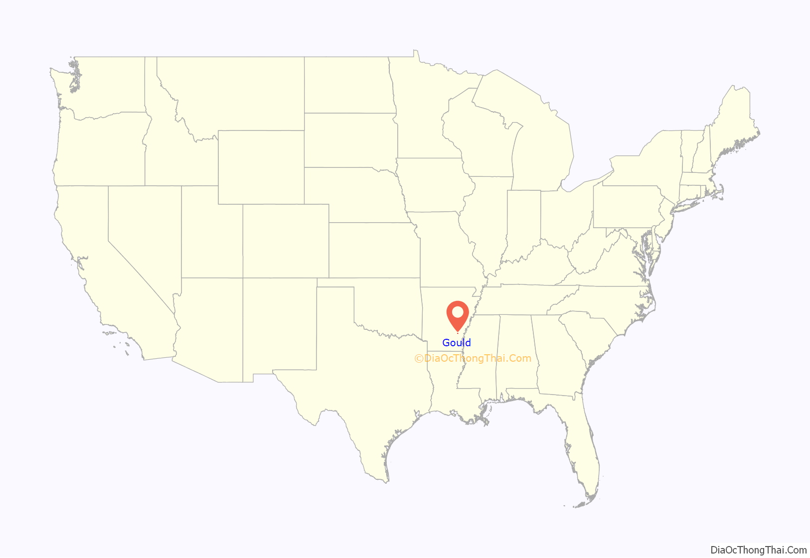
Gould location map. Where is Gould city?
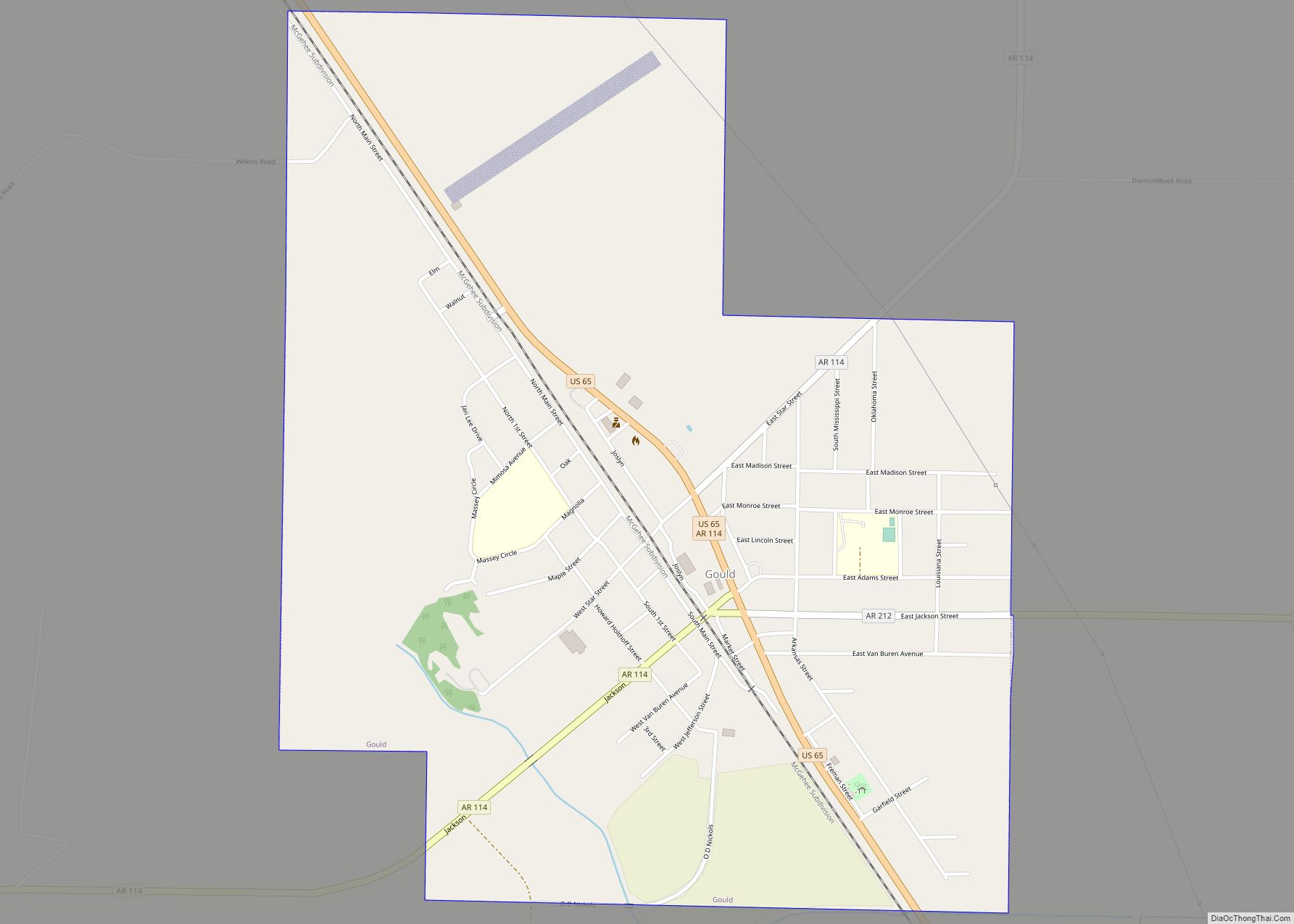
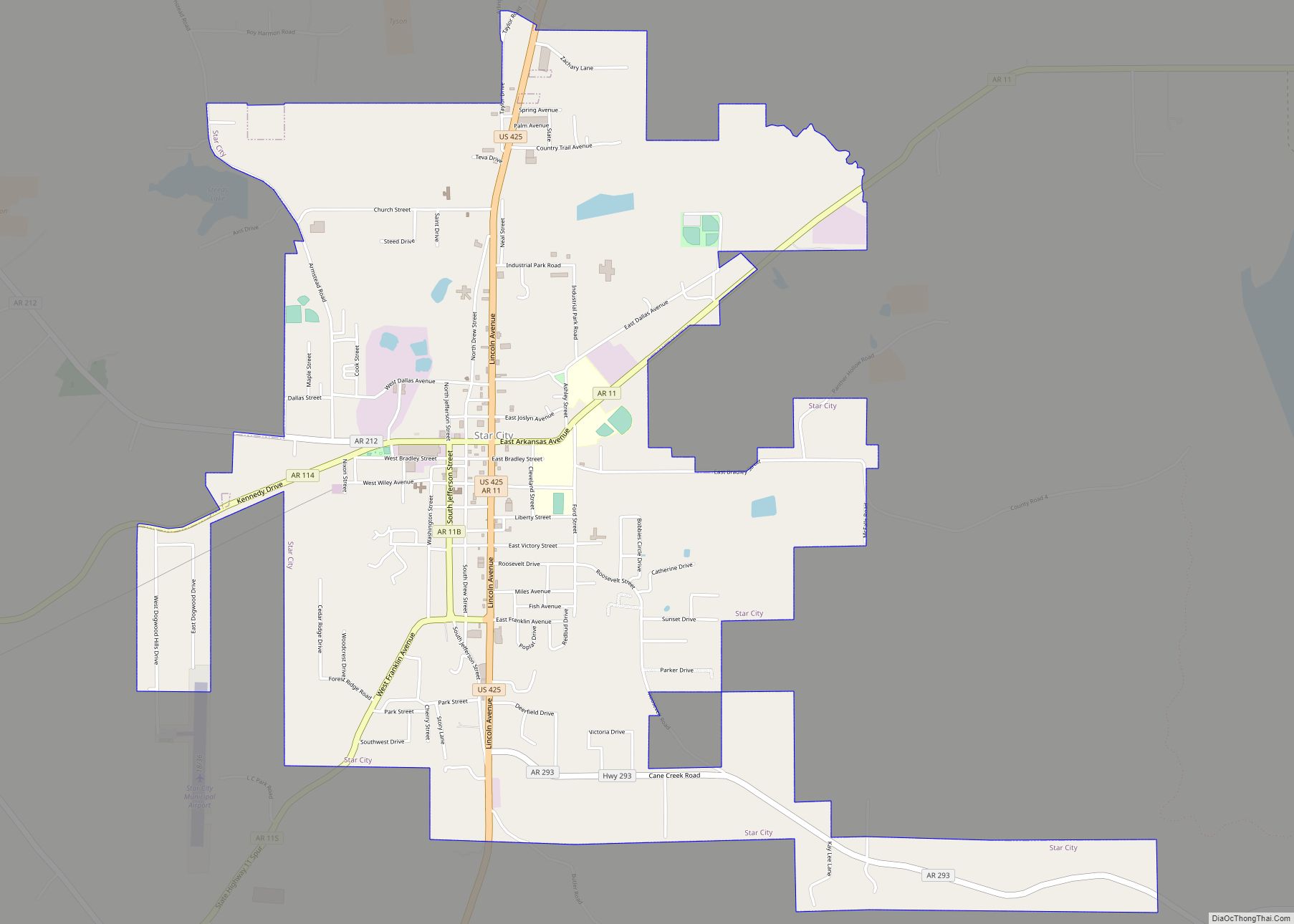
Gould Road Map
Gould city Satellite Map
Geography
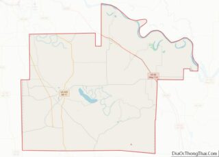
Gould is located in northeastern Lincoln County at 33°59′9″N 91°33′42″W / 33.98583°N 91.56167°W / 33.98583; -91.56167 (33.985920, -91.561578). U.S. Route 65 passes through the city, leading northwest 33 miles (53 km) to Pine Bluff and southeast 27 miles (43 km) to McGehee. Arkansas Highway 114 leads west from Gould 17 miles (27 km) to Star City, while Highway 212 leads east 12 miles (19 km) to Pendleton on the Arkansas River.
According to the United States Census Bureau, the city of Gould has a total area of 1.5 square miles (4.0 km), all land. It sits near the western edge of the Arkansas Delta in the Delta Lowlands sub-region.
Gould is 79 miles (127 km) by highway southeast of Little Rock. The area is in proximity to the Cummins Unit state prison, as well as the Varner Unit state prison.
See also
Map of Arkansas State and its subdivision:- Arkansas
- Ashley
- Baxter
- Benton
- Boone
- Bradley
- Calhoun
- Carroll
- Chicot
- Clark
- Clay
- Cleburne
- Cleveland
- Columbia
- Conway
- Craighead
- Crawford
- Crittenden
- Cross
- Dallas
- Desha
- Drew
- Faulkner
- Franklin
- Fulton
- Garland
- Grant
- Greene
- Hempstead
- Hot Spring
- Howard
- Independence
- Izard
- Jackson
- Jefferson
- Johnson
- Lafayette
- Lawrence
- Lee
- Lincoln
- Little River
- Logan
- Lonoke
- Madison
- Marion
- Miller
- Mississippi
- Monroe
- Montgomery
- Nevada
- Newton
- Ouachita
- Perry
- Phillips
- Pike
- Poinsett
- Polk
- Pope
- Prairie
- Pulaski
- Randolph
- Saint Francis
- Saline
- Scott
- Searcy
- Sebastian
- Sevier
- Sharp
- Stone
- Union
- Van Buren
- Washington
- White
- Woodruff
- Yell
- Alabama
- Alaska
- Arizona
- Arkansas
- California
- Colorado
- Connecticut
- Delaware
- District of Columbia
- Florida
- Georgia
- Hawaii
- Idaho
- Illinois
- Indiana
- Iowa
- Kansas
- Kentucky
- Louisiana
- Maine
- Maryland
- Massachusetts
- Michigan
- Minnesota
- Mississippi
- Missouri
- Montana
- Nebraska
- Nevada
- New Hampshire
- New Jersey
- New Mexico
- New York
- North Carolina
- North Dakota
- Ohio
- Oklahoma
- Oregon
- Pennsylvania
- Rhode Island
- South Carolina
- South Dakota
- Tennessee
- Texas
- Utah
- Vermont
- Virginia
- Washington
- West Virginia
- Wisconsin
- Wyoming
