Hickory Ridge is a city in Cross County, Arkansas, United States. The population was 272 at the 2010 census. Always a small farming community with an economy based on agriculture, a post office was first established in 1875, but the community did not incorporate until 1949.
| Name: | Hickory Ridge city |
|---|---|
| LSAD Code: | 25 |
| LSAD Description: | city (suffix) |
| State: | Arkansas |
| County: | Cross County |
| Incorporated: | November 7, 1949 |
| Elevation: | 233 ft (71 m) |
| Total Area: | 0.65 sq mi (1.68 km²) |
| Land Area: | 0.65 sq mi (1.68 km²) |
| Water Area: | 0.00 sq mi (0.00 km²) |
| Total Population: | 228 |
| Population Density: | 351.85/sq mi (135.94/km²) |
| ZIP code: | 72347 |
| Area code: | 870 |
| FIPS code: | 0531900 |
| GNISfeature ID: | 0077174 |
Online Interactive Map
Click on ![]() to view map in "full screen" mode.
to view map in "full screen" mode.
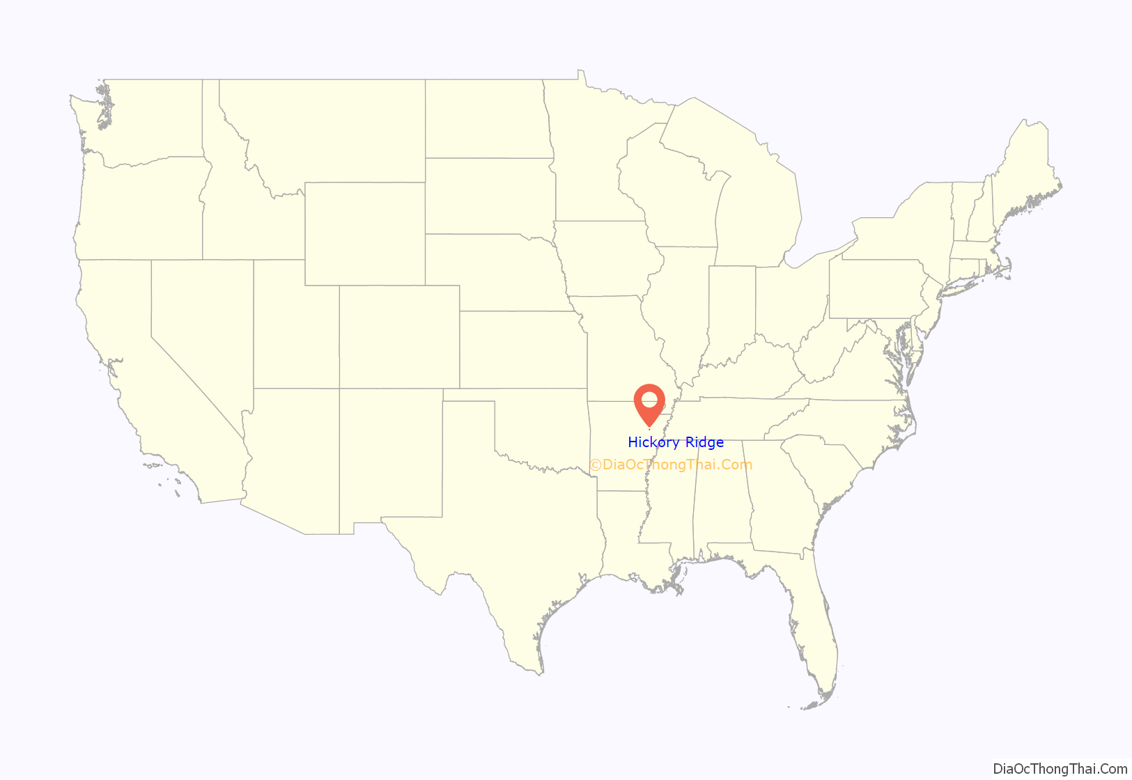
Hickory Ridge location map. Where is Hickory Ridge city?
History
A post office in Brushy Lake Township was named Hickory Ridge on October 5, 1875. The post office was closed shortly thereafter, and the area remained very sparsely populated because the soils were too wet to grow cotton. Following the Cotton Belt railway extension through the settlement around 1882, the community saw prosperity from timber and agriculture; reestablishing the Hickory Ridge post office in 1892.
The city was racially segregated along the railroad tracks (similar to the Delmar Divide), and around 1910, white residents dynamited the black section of town, expelling all black residents. The city became completely white and evolved into sundown town through unwritten rules.
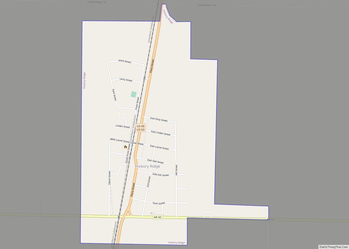
Hickory Ridge Road Map
Hickory Ridge city Satellite Map
Geography
Hickory Ridge is located in northwestern Cross County at 35°24′3″N 90°59′42″W / 35.40083°N 90.99500°W / 35.40083; -90.99500 (35.400729, -90.994974). U.S. Route 49 passes through the community, leading north 37 miles (60 km) to Jonesboro and south 35 miles (56 km) to Interstate 40 at Brinkley.
According to the United States Census Bureau, Hickory Ridge has a total area of 0.66 square miles (1.7 km), all land.
Hickory Ridge is within the Mississippi embayment of the Mississippi Alluvial Plain, a flat fertile floodplain of the Mississippi River. In Arkansas, an economic and cultural region roughly following this geography is known as the Arkansas Delta (or “the Delta”). Roughly the western third of Cross County is within the Western Lowlands Pleistocene Valley Train subregion of the Delta. This region is characterized as flat windblown deposits of silty, sandy soils, and loess with a high groundwater table. Post oak and loblolly pine are native in the higher elevations, with overcup oak, water hickory, willow oak, and pin oak and pondberry native in wetlands. Today, row agriculture is extensive (mostly soybeans and cotton), with commercial aquaculture (crawfish, baitfish, and catfish farms) also common.
See also
Map of Arkansas State and its subdivision:- Arkansas
- Ashley
- Baxter
- Benton
- Boone
- Bradley
- Calhoun
- Carroll
- Chicot
- Clark
- Clay
- Cleburne
- Cleveland
- Columbia
- Conway
- Craighead
- Crawford
- Crittenden
- Cross
- Dallas
- Desha
- Drew
- Faulkner
- Franklin
- Fulton
- Garland
- Grant
- Greene
- Hempstead
- Hot Spring
- Howard
- Independence
- Izard
- Jackson
- Jefferson
- Johnson
- Lafayette
- Lawrence
- Lee
- Lincoln
- Little River
- Logan
- Lonoke
- Madison
- Marion
- Miller
- Mississippi
- Monroe
- Montgomery
- Nevada
- Newton
- Ouachita
- Perry
- Phillips
- Pike
- Poinsett
- Polk
- Pope
- Prairie
- Pulaski
- Randolph
- Saint Francis
- Saline
- Scott
- Searcy
- Sebastian
- Sevier
- Sharp
- Stone
- Union
- Van Buren
- Washington
- White
- Woodruff
- Yell
- Alabama
- Alaska
- Arizona
- Arkansas
- California
- Colorado
- Connecticut
- Delaware
- District of Columbia
- Florida
- Georgia
- Hawaii
- Idaho
- Illinois
- Indiana
- Iowa
- Kansas
- Kentucky
- Louisiana
- Maine
- Maryland
- Massachusetts
- Michigan
- Minnesota
- Mississippi
- Missouri
- Montana
- Nebraska
- Nevada
- New Hampshire
- New Jersey
- New Mexico
- New York
- North Carolina
- North Dakota
- Ohio
- Oklahoma
- Oregon
- Pennsylvania
- Rhode Island
- South Carolina
- South Dakota
- Tennessee
- Texas
- Utah
- Vermont
- Virginia
- Washington
- West Virginia
- Wisconsin
- Wyoming
