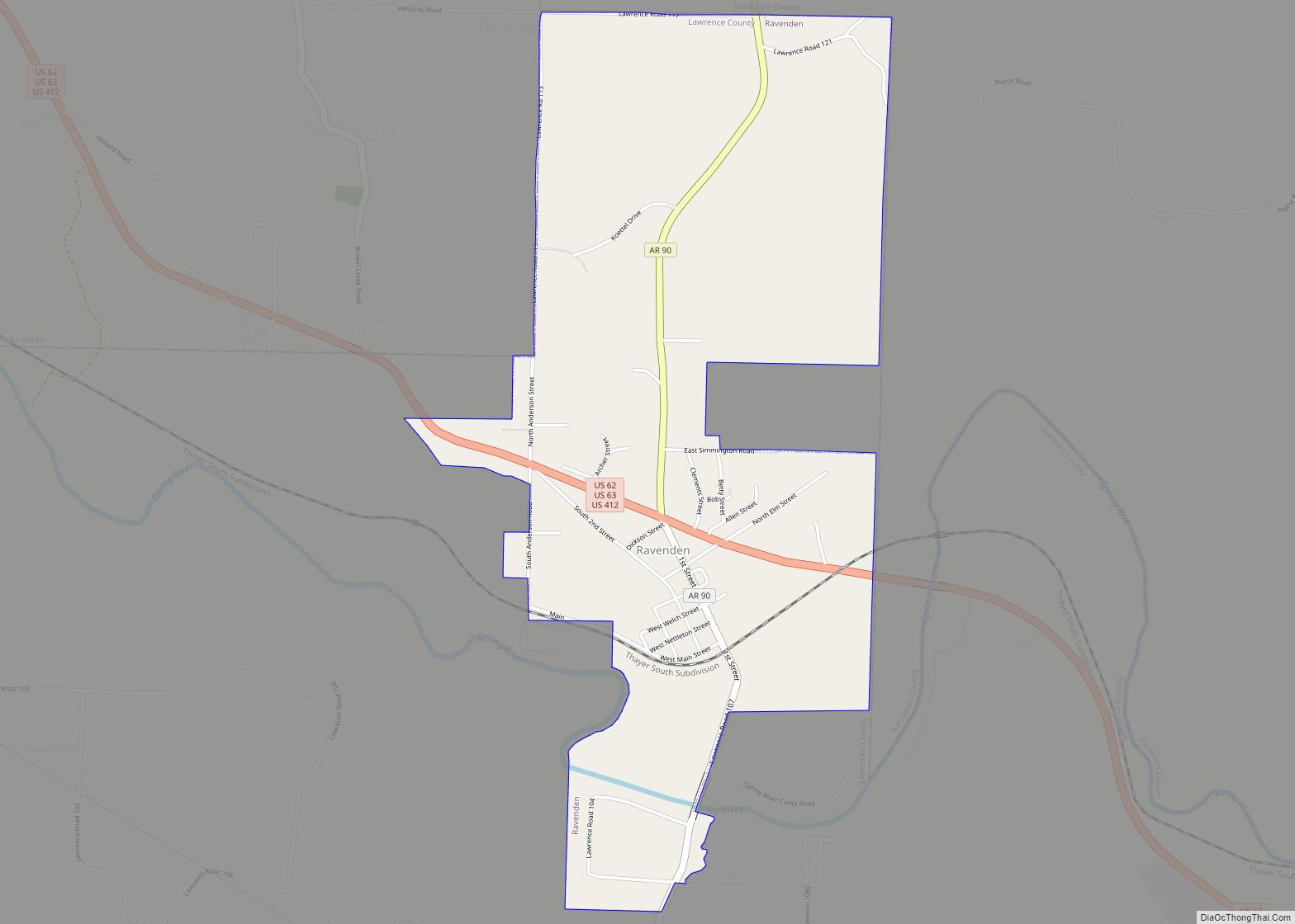
Ravenden is a town in Lawrence County, Arkansas, United States. The population was 470 at the 2010 census. The town is in the valley of the Spring River along U.S. Highway 63 and the Burlington-Northern Railroad.
| Name: | Ravenden town |
|---|---|
| LSAD Code: | 43 |
| LSAD Description: | town (suffix) |
| State: | Arkansas |
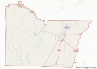
| County: | Lawrence County |
| Elevation: | 338 ft (103 m) |
| Total Area: | 2.12 sq mi (5.49 km²) |
| Land Area: | 2.11 sq mi (5.47 km²) |
| Water Area: | 0.01 sq mi (0.03 km²) |
| Total Population: | 426 |
| Population Density: | 201.80/sq mi (77.93/km²) |
| ZIP code: | 72459 |
| Area code: | 870 |
| FIPS code: | 0558250 |
| GNISfeature ID: | 0058465 |
Online Interactive Map
Click on ![]() to view map in "full screen" mode.
to view map in "full screen" mode.
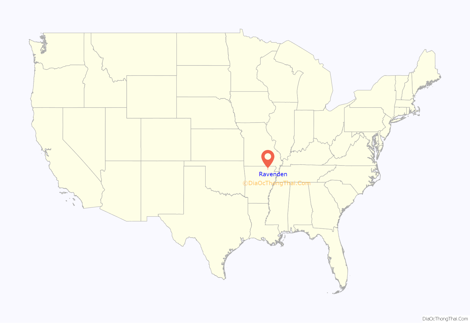
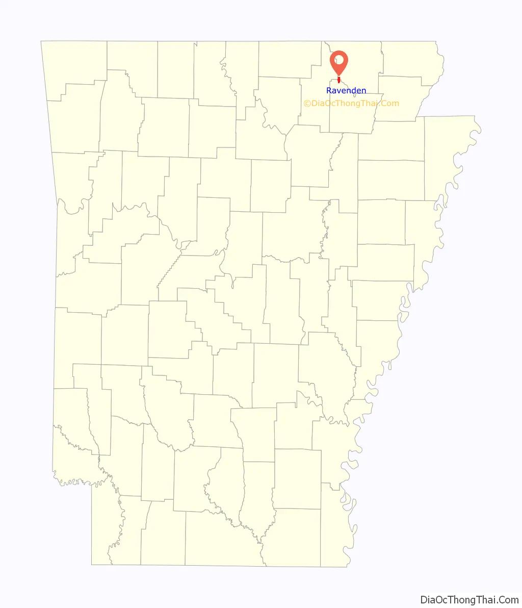
Ravenden location map. Where is Ravenden town?
History
The community building, still in use, was dedicated in 1960. Ray Ellis was mayor at that time. The Frisco Railroad was bought out by, and merged with, the Burlington-Northern Railroad in 1980.
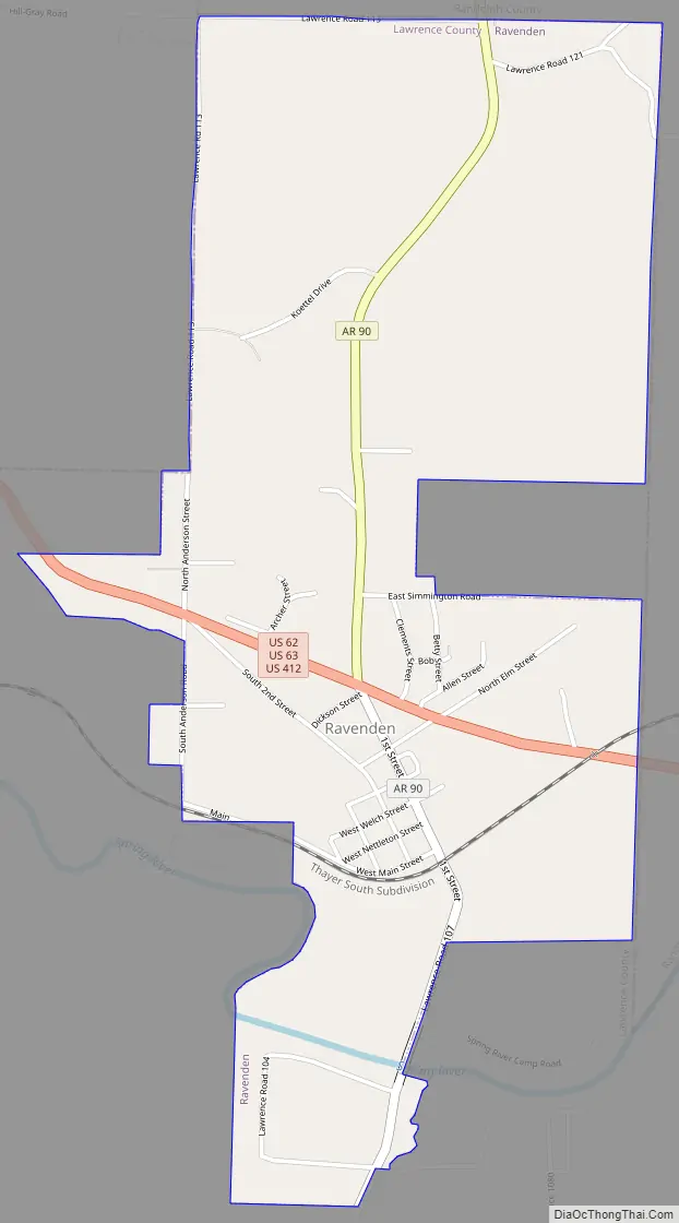
Ravenden Road Map
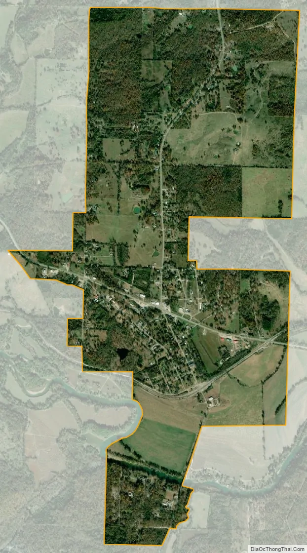
Ravenden city Satellite Map
Geography
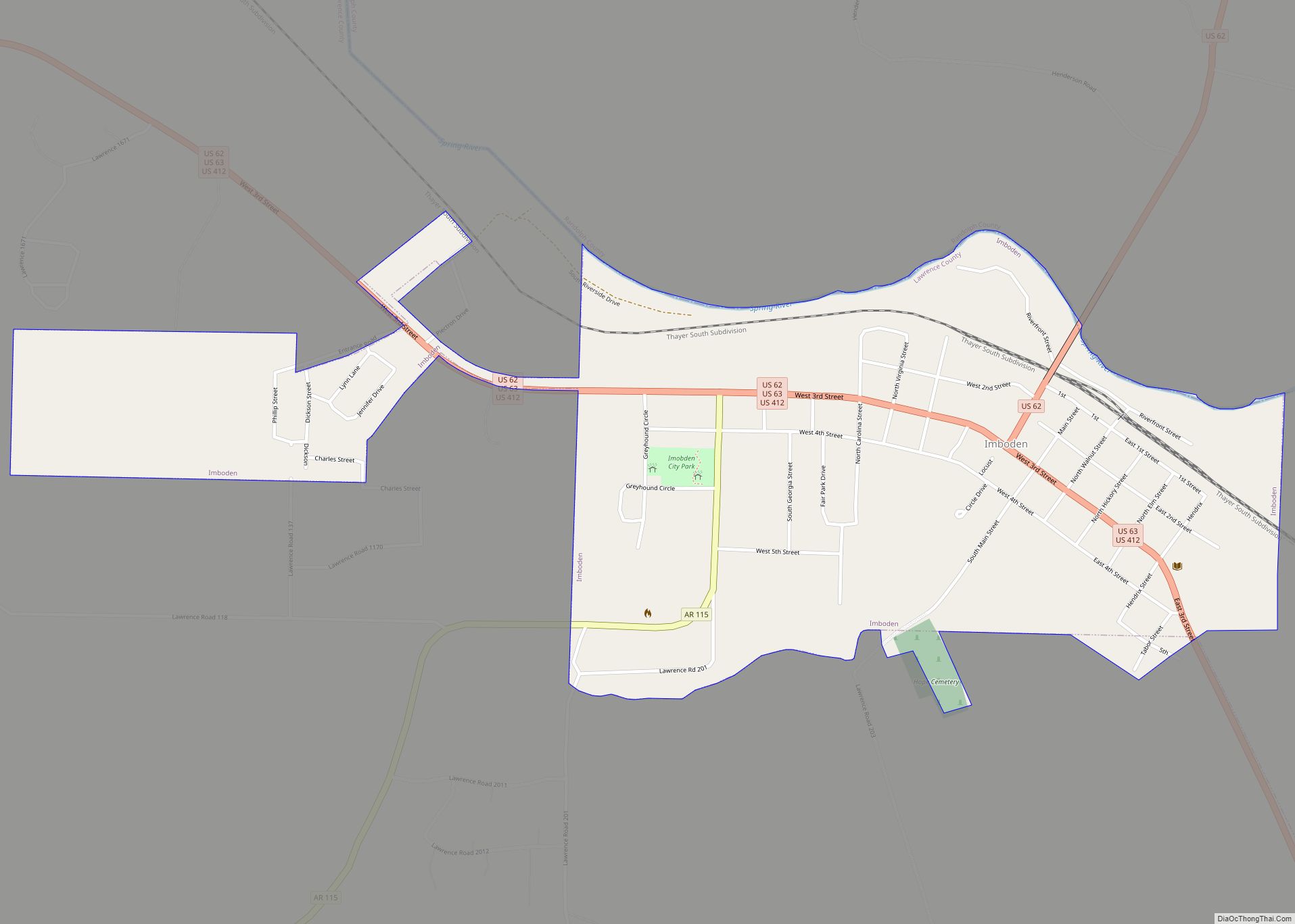
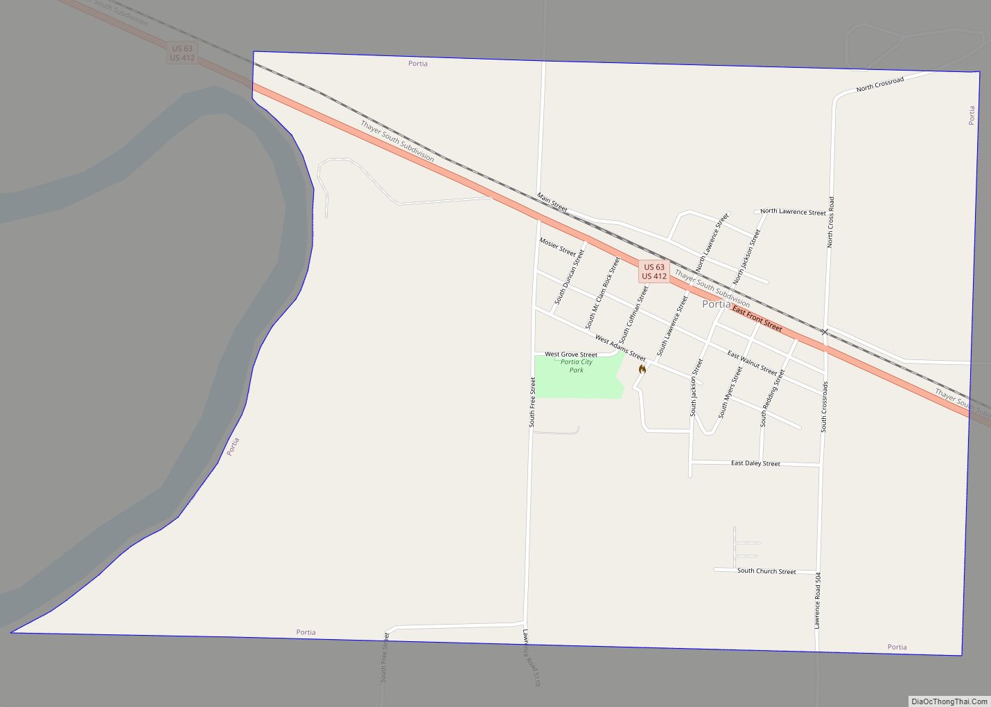
Ravenden is located in the northwest corner of Lawrence County at 36°14′2″N 91°15′7″W / 36.23389°N 91.25194°W / 36.23389; -91.25194 (36.233972, -91.251911). U.S. Highways 62, 63, and 412 run concurrently through the north side of the town, leading northwest 16 miles (26 km) to Hardy and southeast 5 miles (8 km) to Imboden. Arkansas Highway 90 leads north from Ravenden 6 miles (10 km) to Ravenden Springs.
According to the United States Census Bureau, the town of Ravenden has a total area of 2.1 square miles (5.5 km), of which 0.01 square miles (0.03 km), or 0.58%, are water. The Spring River, a southeast-flowing tributary of the Black River, flows through the southern part of the town.
See also
Map of Arkansas State and its subdivision:- Arkansas
- Ashley
- Baxter
- Benton
- Boone
- Bradley
- Calhoun
- Carroll
- Chicot
- Clark
- Clay
- Cleburne
- Cleveland
- Columbia
- Conway
- Craighead
- Crawford
- Crittenden
- Cross
- Dallas
- Desha
- Drew
- Faulkner
- Franklin
- Fulton
- Garland
- Grant
- Greene
- Hempstead
- Hot Spring
- Howard
- Independence
- Izard
- Jackson
- Jefferson
- Johnson
- Lafayette
- Lawrence
- Lee
- Lincoln
- Little River
- Logan
- Lonoke
- Madison
- Marion
- Miller
- Mississippi
- Monroe
- Montgomery
- Nevada
- Newton
- Ouachita
- Perry
- Phillips
- Pike
- Poinsett
- Polk
- Pope
- Prairie
- Pulaski
- Randolph
- Saint Francis
- Saline
- Scott
- Searcy
- Sebastian
- Sevier
- Sharp
- Stone
- Union
- Van Buren
- Washington
- White
- Woodruff
- Yell
- Alabama
- Alaska
- Arizona
- Arkansas
- California
- Colorado
- Connecticut
- Delaware
- District of Columbia
- Florida
- Georgia
- Hawaii
- Idaho
- Illinois
- Indiana
- Iowa
- Kansas
- Kentucky
- Louisiana
- Maine
- Maryland
- Massachusetts
- Michigan
- Minnesota
- Mississippi
- Missouri
- Montana
- Nebraska
- Nevada
- New Hampshire
- New Jersey
- New Mexico
- New York
- North Carolina
- North Dakota
- Ohio
- Oklahoma
- Oregon
- Pennsylvania
- Rhode Island
- South Carolina
- South Dakota
- Tennessee
- Texas
- Utah
- Vermont
- Virginia
- Washington
- West Virginia
- Wisconsin
- Wyoming