Jerome is former town in Drew County, Arkansas, United States. On October 14, 2021, the Jerome City Council elected to surrender the town’s charter and officially declared Jerome inactive and no longer in existence. They are now listed as a census designated place.
The population was 24 at the 2020 census.
| Name: | Jerome town |
|---|---|
| LSAD Code: | 43 |
| LSAD Description: | town (suffix) |
| State: | Arkansas |
| County: | Drew County |
| Elevation: | 131 ft (40 m) |
| Total Area: | 0.10 sq mi (0.26 km²) |
| Land Area: | 0.10 sq mi (0.26 km²) |
| Water Area: | 0.00 sq mi (0.00 km²) |
| Total Population: | 24 |
| Population Density: | 237.62/sq mi (91.47/km²) |
| FIPS code: | 0535170 |
| GNISfeature ID: | 2830629 |
Online Interactive Map
Click on ![]() to view map in "full screen" mode.
to view map in "full screen" mode.
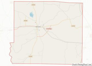
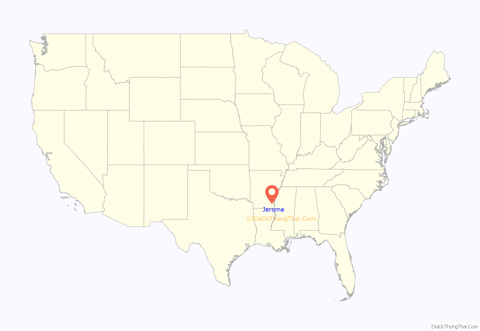
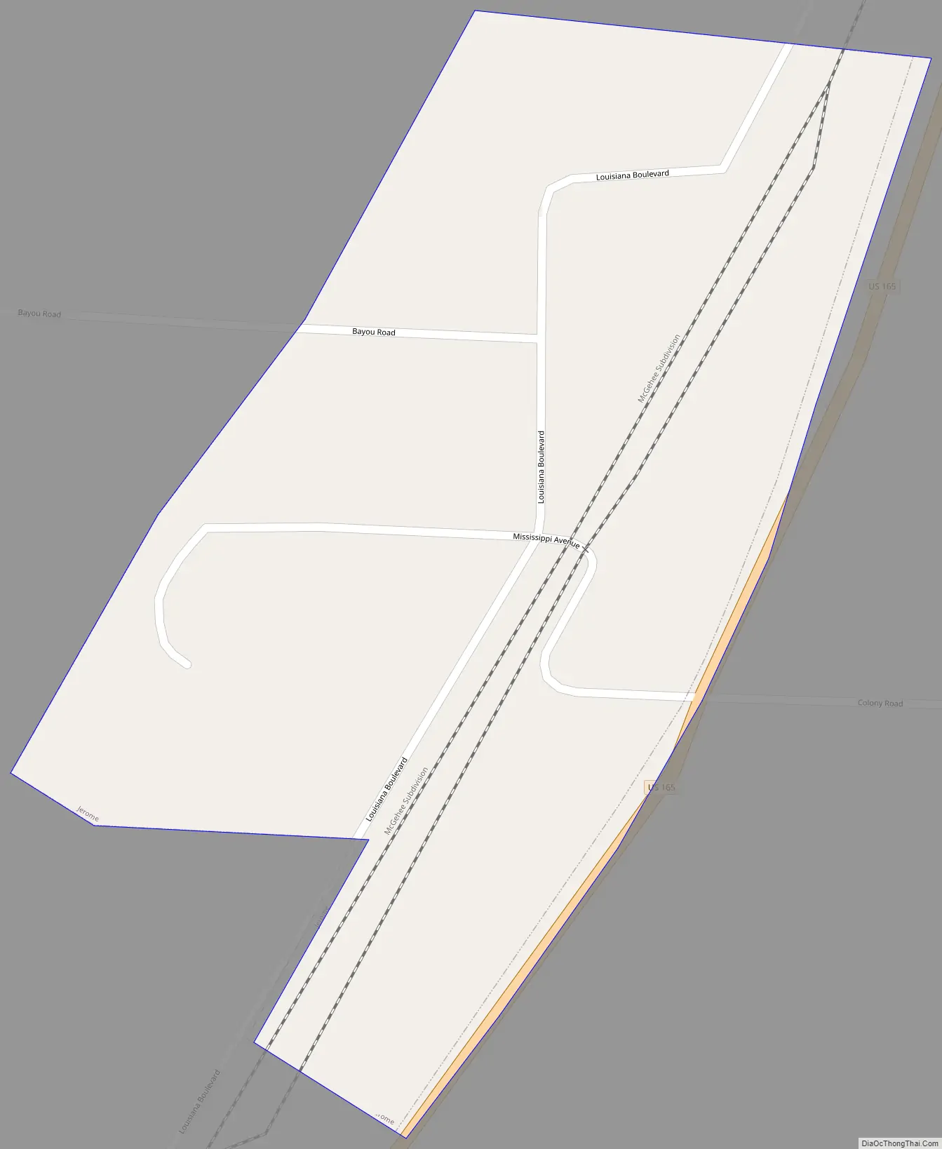
Jerome location map. Where is Jerome town?
History
During World War II, Jerome was home to a Japanese American internment camp, the Jerome War Relocation Center (1942–1944), designed by Edward F. Neild of Shreveport, Louisiana, and later converted into a prison camp for captured German soldiers.
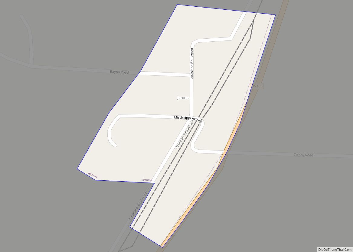
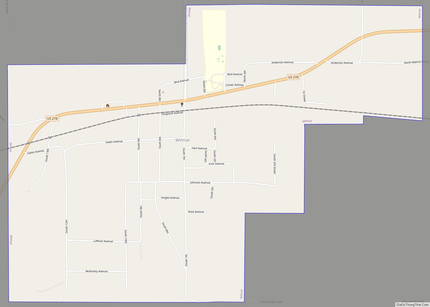
Jerome Road Map
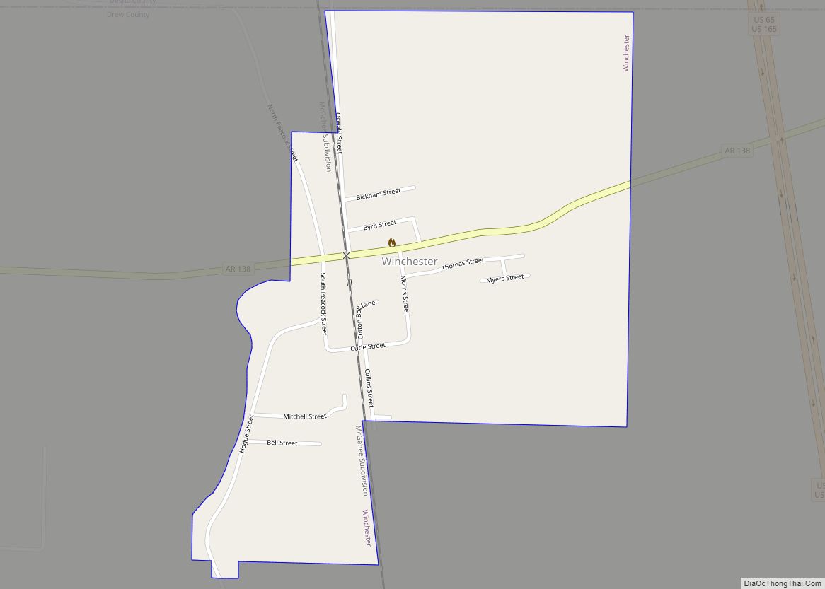
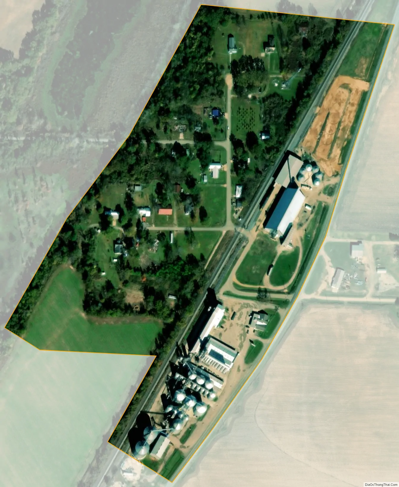
Jerome city Satellite Map
Geography
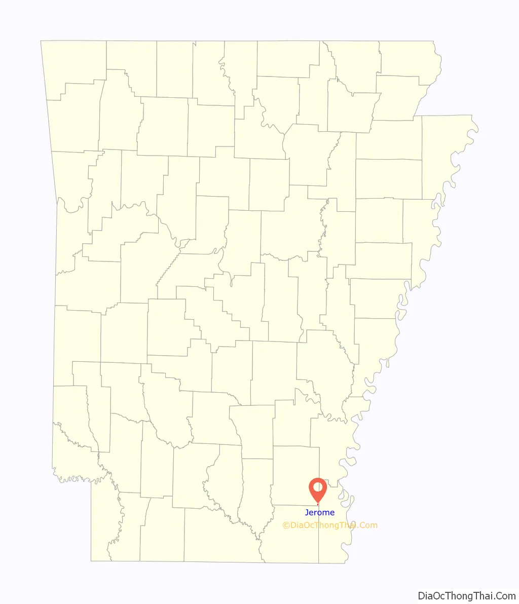
Jerome is located in the southeast corner of Drew County at 33°23′57″N 91°28′4″W / 33.39917°N 91.46778°W / 33.39917; -91.46778 (33.399139, -91.467864), along U.S. Route 165, which leads north 10 miles (16 km) to Dermott and south 7 miles (11 km) to Montrose. According to the United States Census Bureau, Jerome has a total area of 0.17 square miles (0.43 km), all land.
See also
Map of Arkansas State and its subdivision:- Arkansas
- Ashley
- Baxter
- Benton
- Boone
- Bradley
- Calhoun
- Carroll
- Chicot
- Clark
- Clay
- Cleburne
- Cleveland
- Columbia
- Conway
- Craighead
- Crawford
- Crittenden
- Cross
- Dallas
- Desha
- Drew
- Faulkner
- Franklin
- Fulton
- Garland
- Grant
- Greene
- Hempstead
- Hot Spring
- Howard
- Independence
- Izard
- Jackson
- Jefferson
- Johnson
- Lafayette
- Lawrence
- Lee
- Lincoln
- Little River
- Logan
- Lonoke
- Madison
- Marion
- Miller
- Mississippi
- Monroe
- Montgomery
- Nevada
- Newton
- Ouachita
- Perry
- Phillips
- Pike
- Poinsett
- Polk
- Pope
- Prairie
- Pulaski
- Randolph
- Saint Francis
- Saline
- Scott
- Searcy
- Sebastian
- Sevier
- Sharp
- Stone
- Union
- Van Buren
- Washington
- White
- Woodruff
- Yell
- Alabama
- Alaska
- Arizona
- Arkansas
- California
- Colorado
- Connecticut
- Delaware
- District of Columbia
- Florida
- Georgia
- Hawaii
- Idaho
- Illinois
- Indiana
- Iowa
- Kansas
- Kentucky
- Louisiana
- Maine
- Maryland
- Massachusetts
- Michigan
- Minnesota
- Mississippi
- Missouri
- Montana
- Nebraska
- Nevada
- New Hampshire
- New Jersey
- New Mexico
- New York
- North Carolina
- North Dakota
- Ohio
- Oklahoma
- Oregon
- Pennsylvania
- Rhode Island
- South Carolina
- South Dakota
- Tennessee
- Texas
- Utah
- Vermont
- Virginia
- Washington
- West Virginia
- Wisconsin
- Wyoming