Keiser is a city in Mississippi County, Arkansas, United States. The population was 751 at the 2020 census.
| Name: | Keiser city |
|---|---|
| LSAD Code: | 25 |
| LSAD Description: | city (suffix) |
| State: | Arkansas |
| County: | Mississippi County |
| Elevation: | 230 ft (70 m) |
| Total Area: | 0.37 sq mi (0.96 km²) |
| Land Area: | 0.37 sq mi (0.96 km²) |
| Water Area: | 0.00 sq mi (0.00 km²) |
| Total Population: | 751 |
| Population Density: | 2,024.26/sq mi (780.91/km²) |
| ZIP code: | 72351 |
| Area code: | 870 |
| FIPS code: | 0536310 |
| GNISfeature ID: | 2404819 |
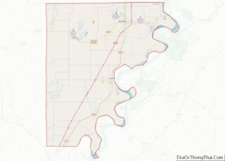
Online Interactive Map
Click on ![]() to view map in "full screen" mode.
to view map in "full screen" mode.
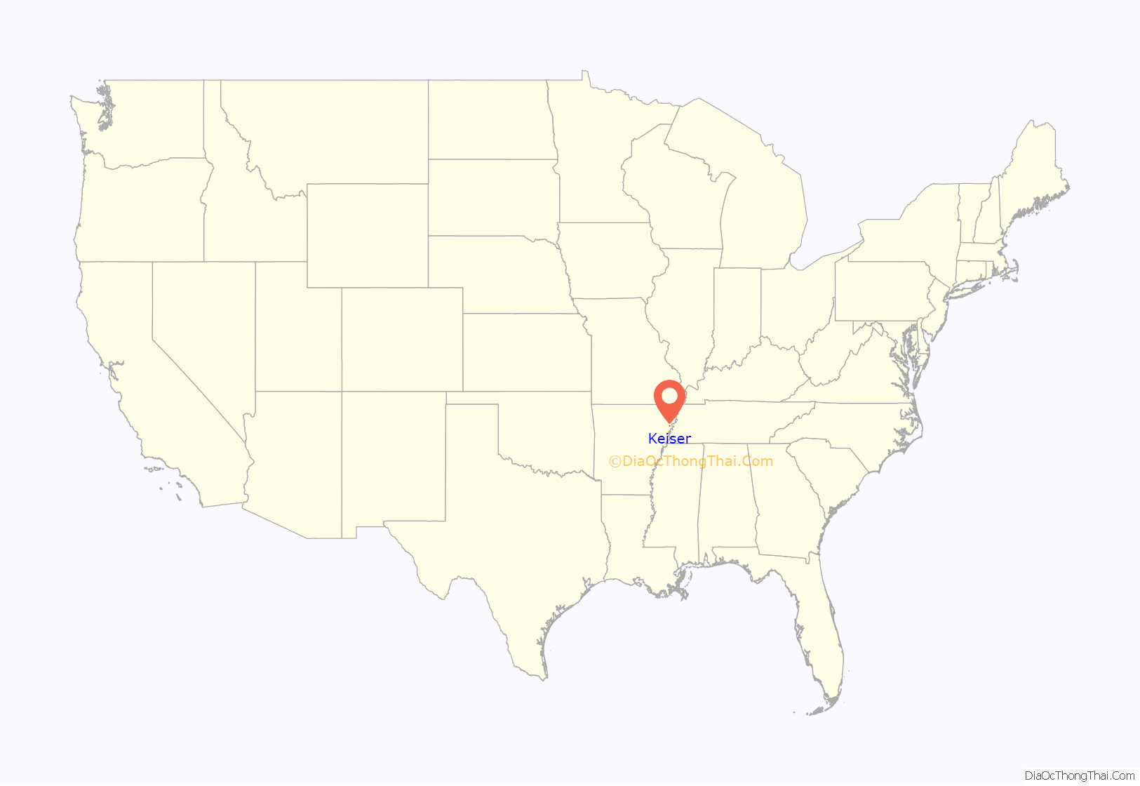
Keiser location map. Where is Keiser city?
History
Originally known as “Savage Crossing”, Keiser was one of several cities established by prominent late-19th century planter and land developer Robert E. Lee Wilson. The city, which served as a logging outpost and stop on the rail line that connected Wilson and Jonesboro, was named for Wilson’s friend, John Keiser. After the forests had been cleared, the city transitioned from a logging town to an agrarian community. The Arkansas Agricultural Experiment Station established a research farm near Keiser in 1957, and built a regional headquarters in Keiser, the Northeast Research and Extension Center, 1980.
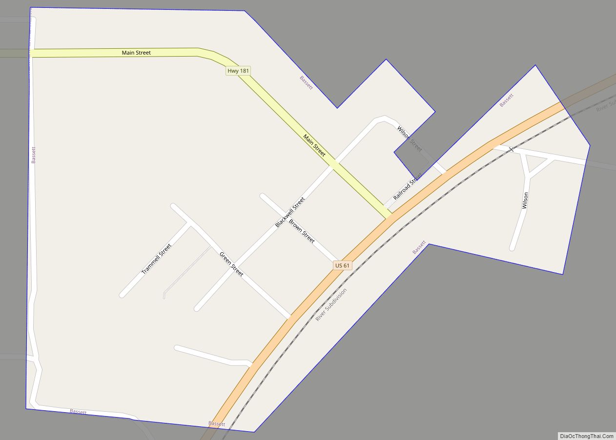
Keiser Road Map
Keiser city Satellite Map
Geography
Keiser is located in central Mississippi County. The city is concentrated along a stretch of Arkansas Highway 181, 9 miles (14 km) southwest of Osceola and the same distance northwest of Wilson. Interstate 55 passes just southeast of the city, with access from Exit 44 (Highway 181).
According to the United States Census Bureau, the city has a total area of 0.4 square miles (1.0 km), all land.
Climate
The climate in this area is characterized by hot, humid summers and generally mild to cool winters. According to the Köppen Climate Classification system, Keiser has a humid subtropical climate, abbreviated “Cfa” on climate maps.
See also
Map of Arkansas State and its subdivision:- Arkansas
- Ashley
- Baxter
- Benton
- Boone
- Bradley
- Calhoun
- Carroll
- Chicot
- Clark
- Clay
- Cleburne
- Cleveland
- Columbia
- Conway
- Craighead
- Crawford
- Crittenden
- Cross
- Dallas
- Desha
- Drew
- Faulkner
- Franklin
- Fulton
- Garland
- Grant
- Greene
- Hempstead
- Hot Spring
- Howard
- Independence
- Izard
- Jackson
- Jefferson
- Johnson
- Lafayette
- Lawrence
- Lee
- Lincoln
- Little River
- Logan
- Lonoke
- Madison
- Marion
- Miller
- Mississippi
- Monroe
- Montgomery
- Nevada
- Newton
- Ouachita
- Perry
- Phillips
- Pike
- Poinsett
- Polk
- Pope
- Prairie
- Pulaski
- Randolph
- Saint Francis
- Saline
- Scott
- Searcy
- Sebastian
- Sevier
- Sharp
- Stone
- Union
- Van Buren
- Washington
- White
- Woodruff
- Yell
- Alabama
- Alaska
- Arizona
- Arkansas
- California
- Colorado
- Connecticut
- Delaware
- District of Columbia
- Florida
- Georgia
- Hawaii
- Idaho
- Illinois
- Indiana
- Iowa
- Kansas
- Kentucky
- Louisiana
- Maine
- Maryland
- Massachusetts
- Michigan
- Minnesota
- Mississippi
- Missouri
- Montana
- Nebraska
- Nevada
- New Hampshire
- New Jersey
- New Mexico
- New York
- North Carolina
- North Dakota
- Ohio
- Oklahoma
- Oregon
- Pennsylvania
- Rhode Island
- South Carolina
- South Dakota
- Tennessee
- Texas
- Utah
- Vermont
- Virginia
- Washington
- West Virginia
- Wisconsin
- Wyoming
