Lamar is a city in Johnson County, Arkansas, United States. The population was 1,605 at the 2010 census, up from 1,415 at the 2000 census.
| Name: | Lamar city |
|---|---|
| LSAD Code: | 25 |
| LSAD Description: | city (suffix) |
| State: | Arkansas |
| County: | Johnson County |
| Elevation: | 430 ft (130 m) |
| Total Area: | 4.64 sq mi (12.03 km²) |
| Land Area: | 4.62 sq mi (11.95 km²) |
| Water Area: | 0.03 sq mi (0.07 km²) |
| Total Population: | 1,719 |
| Population Density: | 372.40/sq mi (143.80/km²) |
| ZIP code: | 72846 |
| Area code: | 479 |
| FIPS code: | 0538290 |
| GNISfeature ID: | 2404879 |
Online Interactive Map
Click on ![]() to view map in "full screen" mode.
to view map in "full screen" mode.
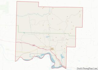
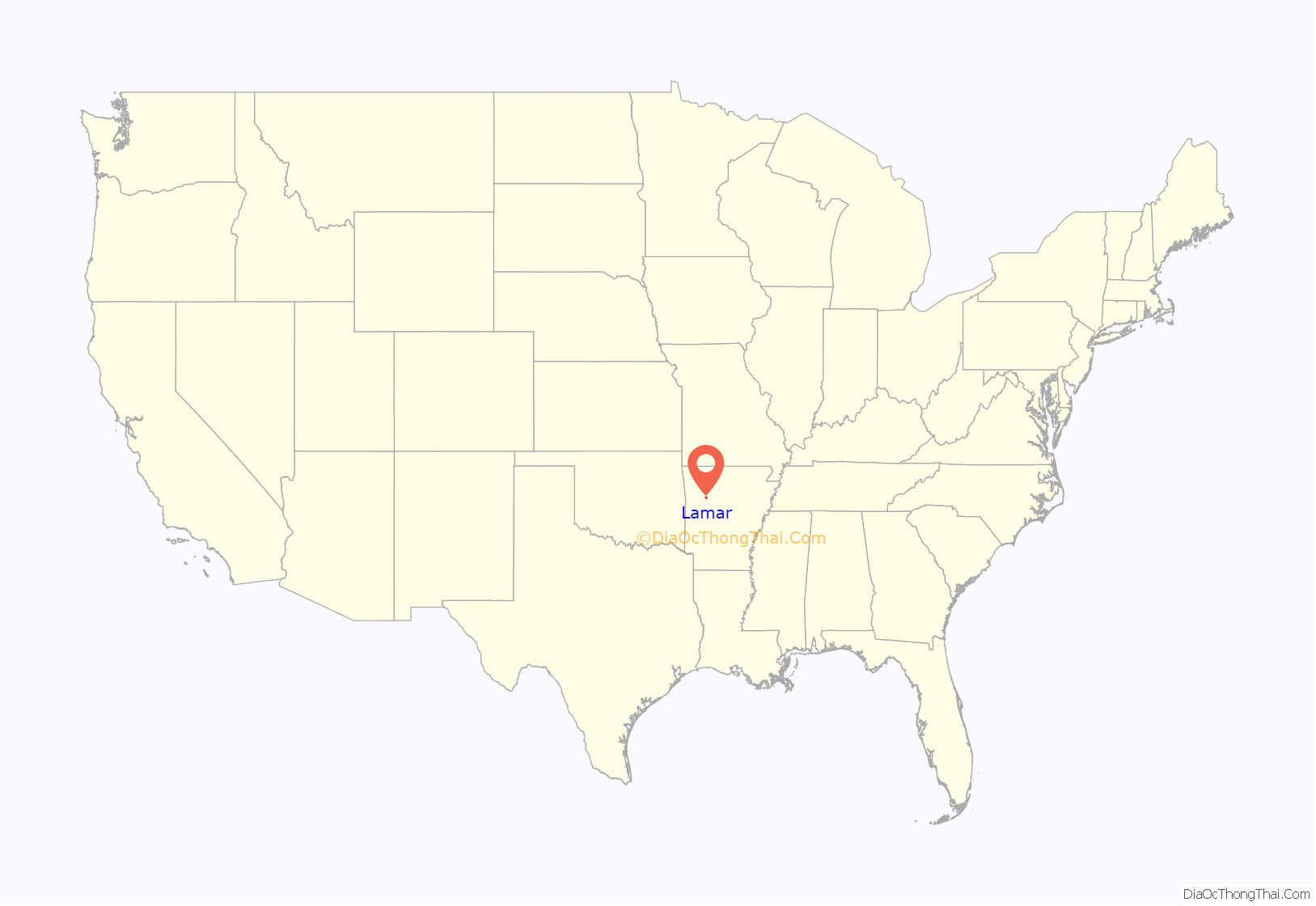
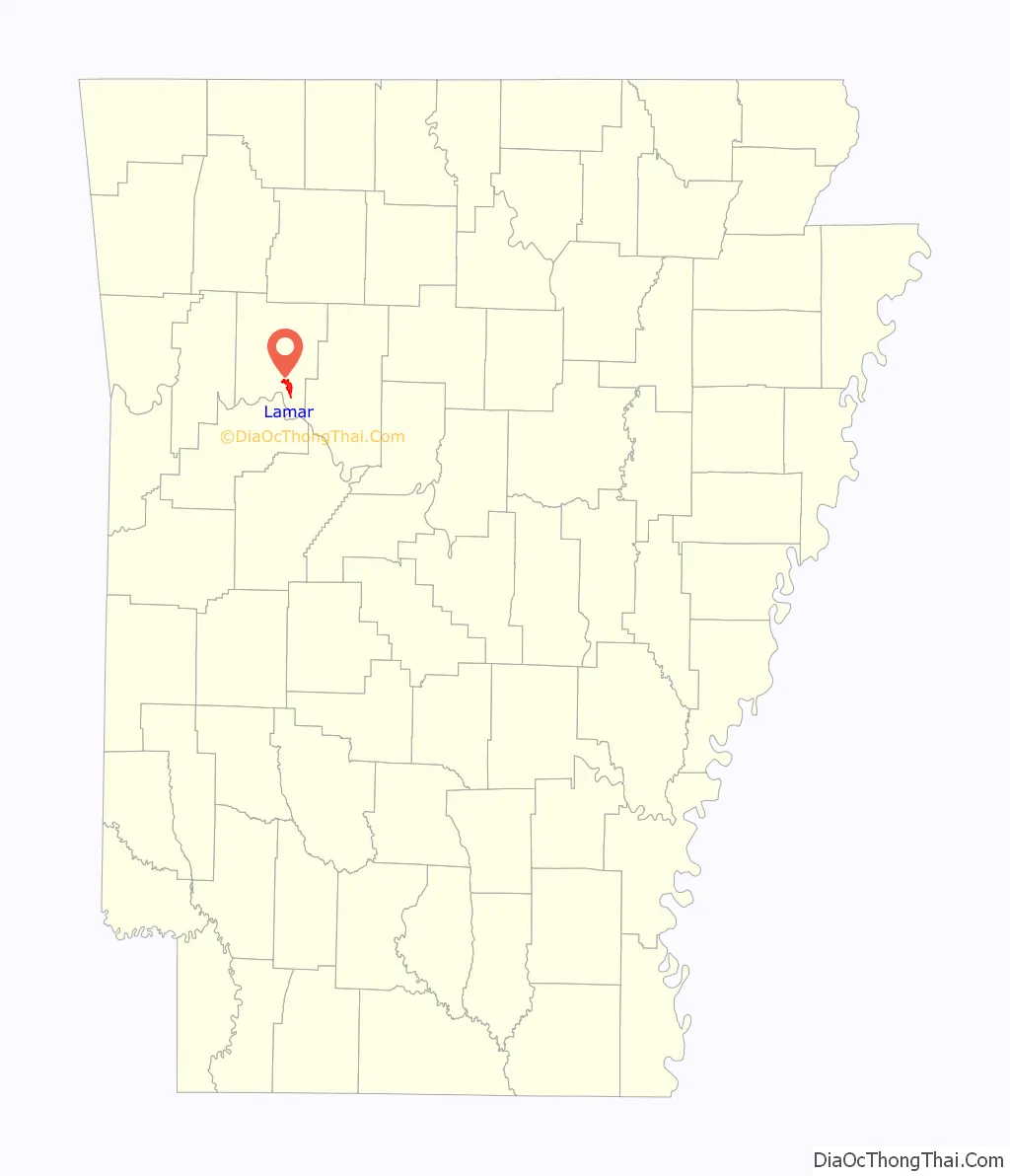
Lamar location map. Where is Lamar city?
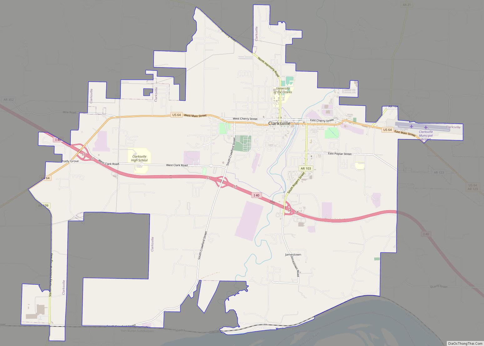
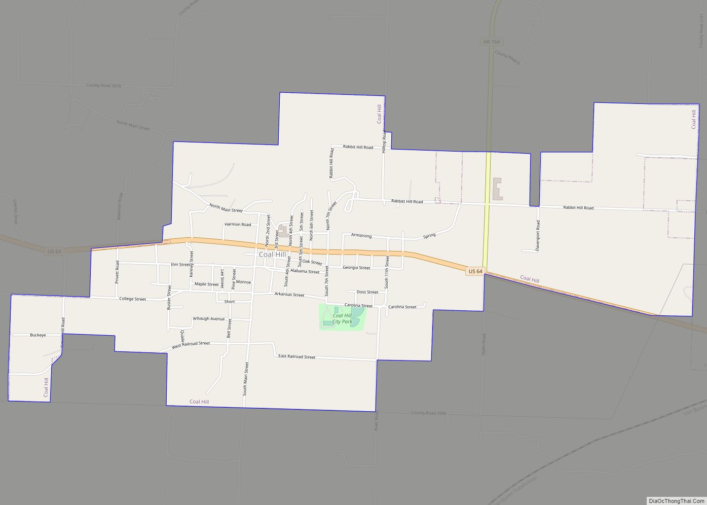
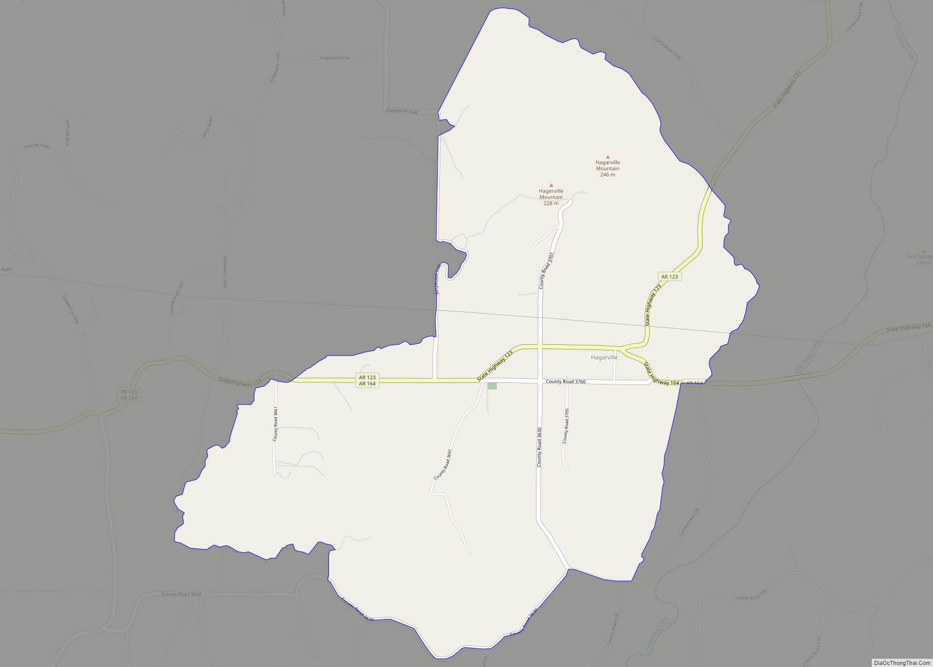
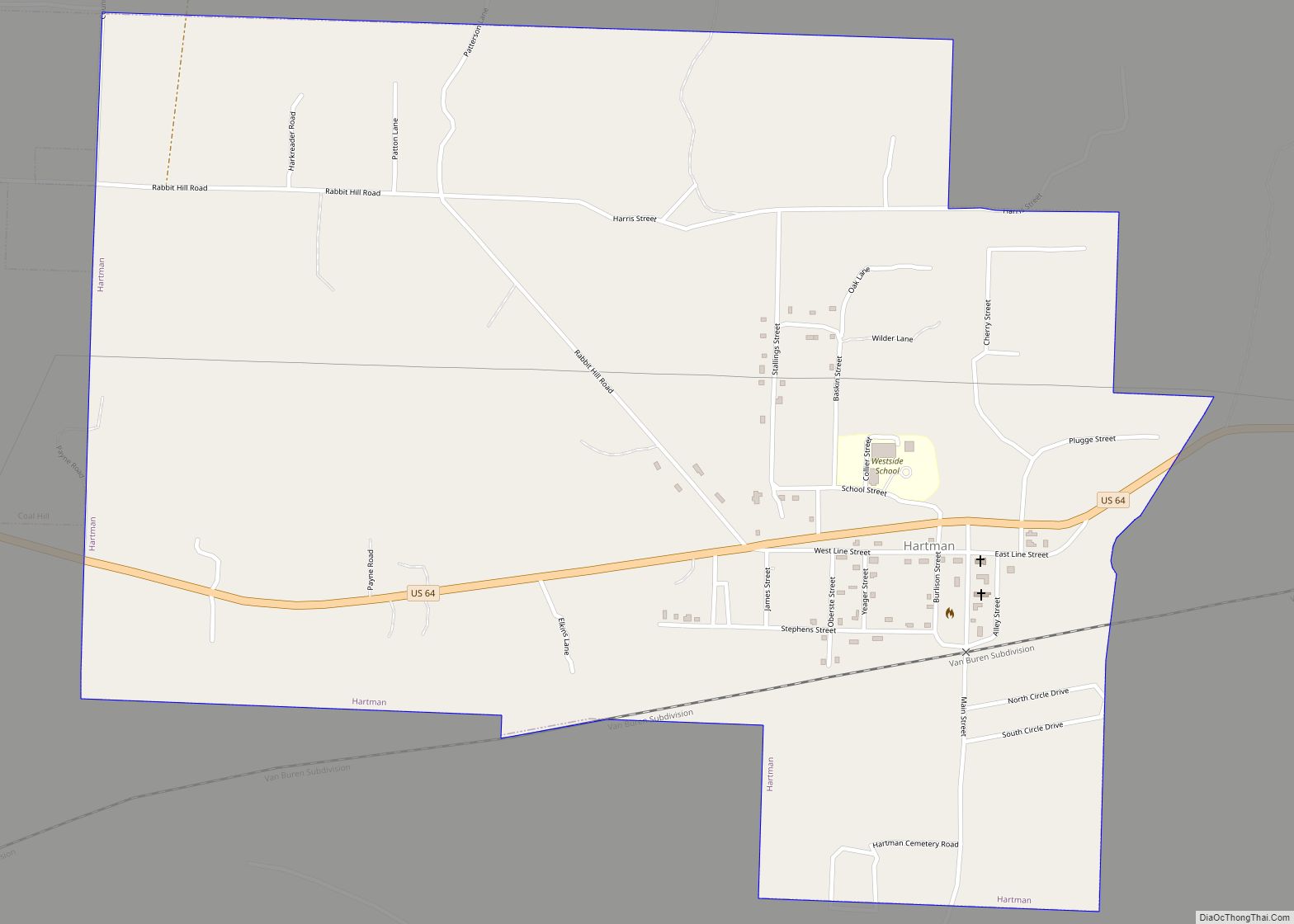
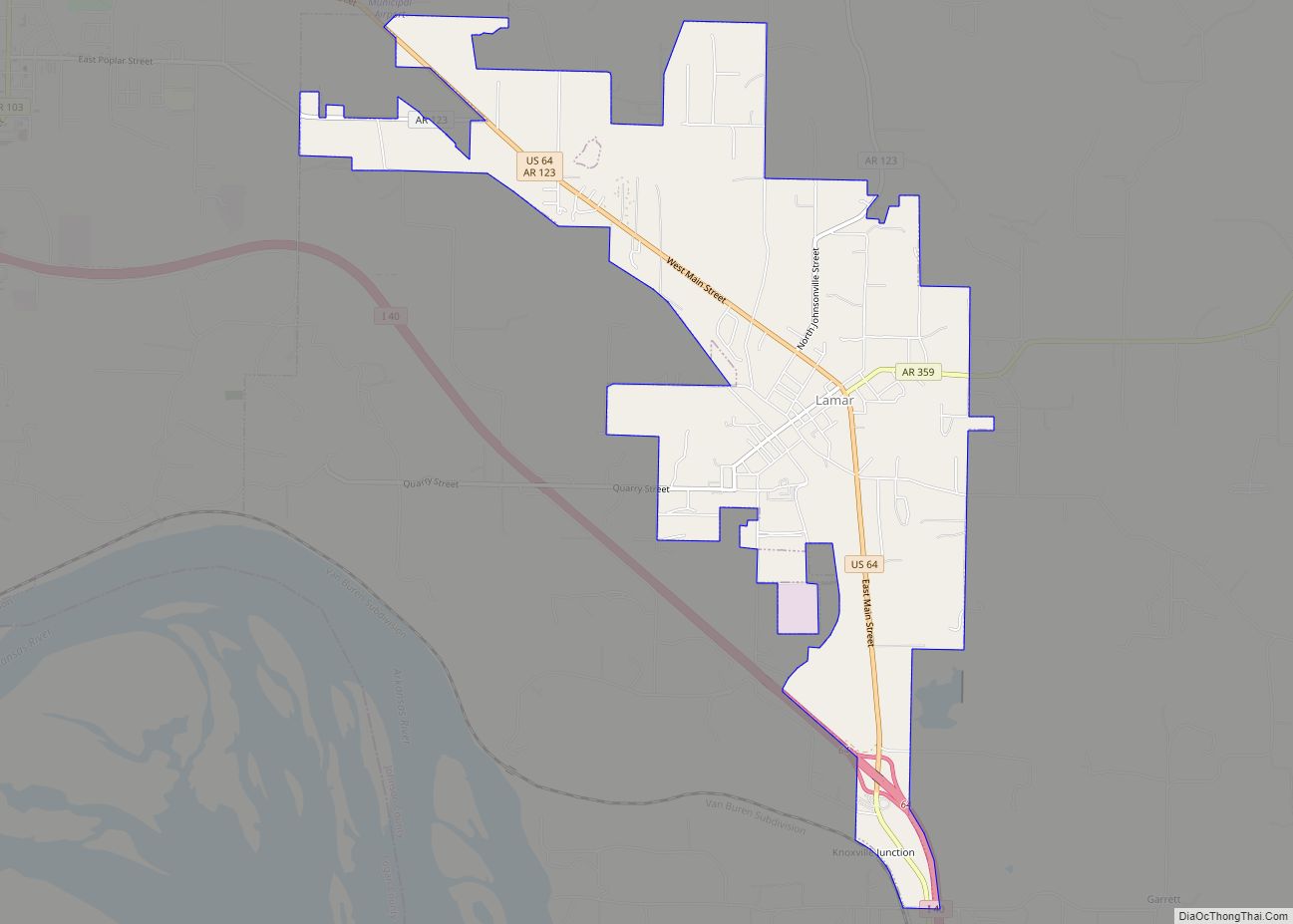
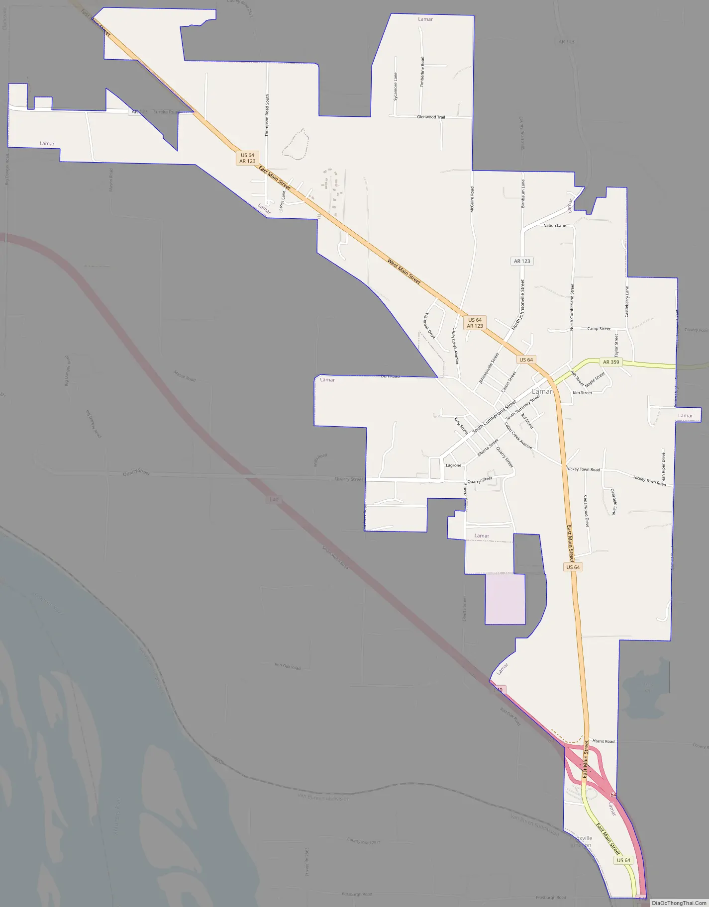
Lamar Road Map
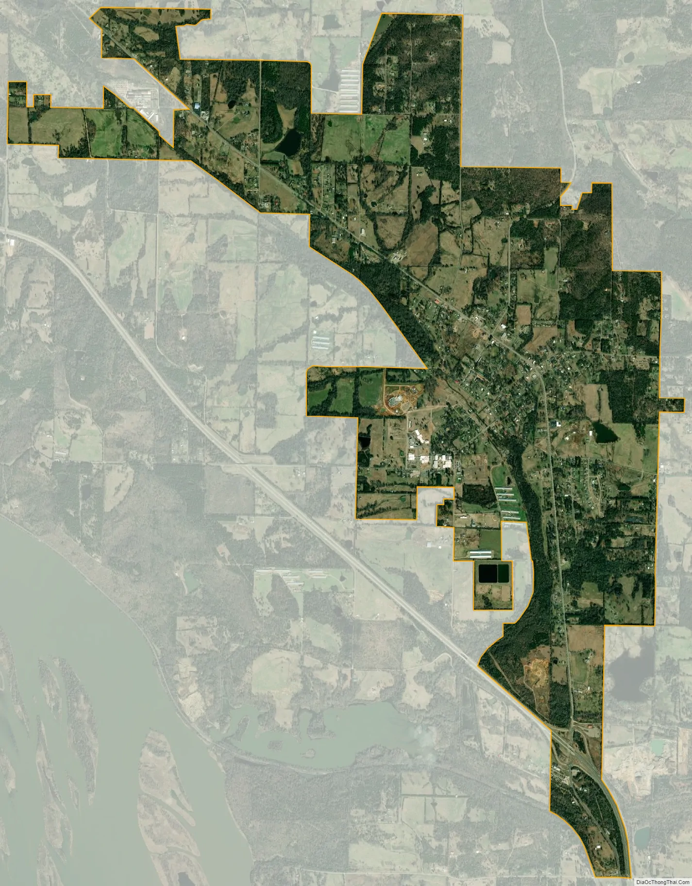
Lamar city Satellite Map
Geography
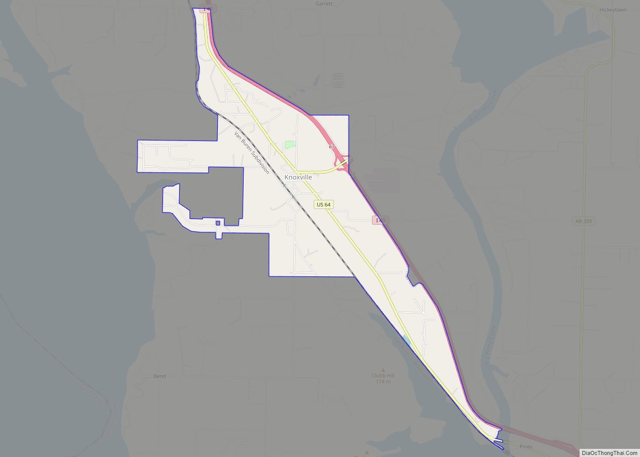
Lamar is located in southeastern Johnson County in the valley of Cabin Creek. U.S. Route 64 is Lamar’s Main Street and leads northwest 5 miles (8 km) to Clarksville, the county seat, and south 4 miles (6 km) to Knoxville. Interstate 40 crosses US 64 2 miles (3 km) south of Lamar at Exit 64 and leads west 64 miles (103 km) to Fort Smith and southeast 19 miles (31 km) to Russellville. Little Rock is 95 miles (153 km) southeast of Lamar via I-40.
According to the United States Census Bureau, Lamar has a total area of 4.7 square miles (12.3 km), of which 0.02 square miles (0.05 km), or 0.38%, are water.
See also
Map of Arkansas State and its subdivision:- Arkansas
- Ashley
- Baxter
- Benton
- Boone
- Bradley
- Calhoun
- Carroll
- Chicot
- Clark
- Clay
- Cleburne
- Cleveland
- Columbia
- Conway
- Craighead
- Crawford
- Crittenden
- Cross
- Dallas
- Desha
- Drew
- Faulkner
- Franklin
- Fulton
- Garland
- Grant
- Greene
- Hempstead
- Hot Spring
- Howard
- Independence
- Izard
- Jackson
- Jefferson
- Johnson
- Lafayette
- Lawrence
- Lee
- Lincoln
- Little River
- Logan
- Lonoke
- Madison
- Marion
- Miller
- Mississippi
- Monroe
- Montgomery
- Nevada
- Newton
- Ouachita
- Perry
- Phillips
- Pike
- Poinsett
- Polk
- Pope
- Prairie
- Pulaski
- Randolph
- Saint Francis
- Saline
- Scott
- Searcy
- Sebastian
- Sevier
- Sharp
- Stone
- Union
- Van Buren
- Washington
- White
- Woodruff
- Yell
- Alabama
- Alaska
- Arizona
- Arkansas
- California
- Colorado
- Connecticut
- Delaware
- District of Columbia
- Florida
- Georgia
- Hawaii
- Idaho
- Illinois
- Indiana
- Iowa
- Kansas
- Kentucky
- Louisiana
- Maine
- Maryland
- Massachusetts
- Michigan
- Minnesota
- Mississippi
- Missouri
- Montana
- Nebraska
- Nevada
- New Hampshire
- New Jersey
- New Mexico
- New York
- North Carolina
- North Dakota
- Ohio
- Oklahoma
- Oregon
- Pennsylvania
- Rhode Island
- South Carolina
- South Dakota
- Tennessee
- Texas
- Utah
- Vermont
- Virginia
- Washington
- West Virginia
- Wisconsin
- Wyoming