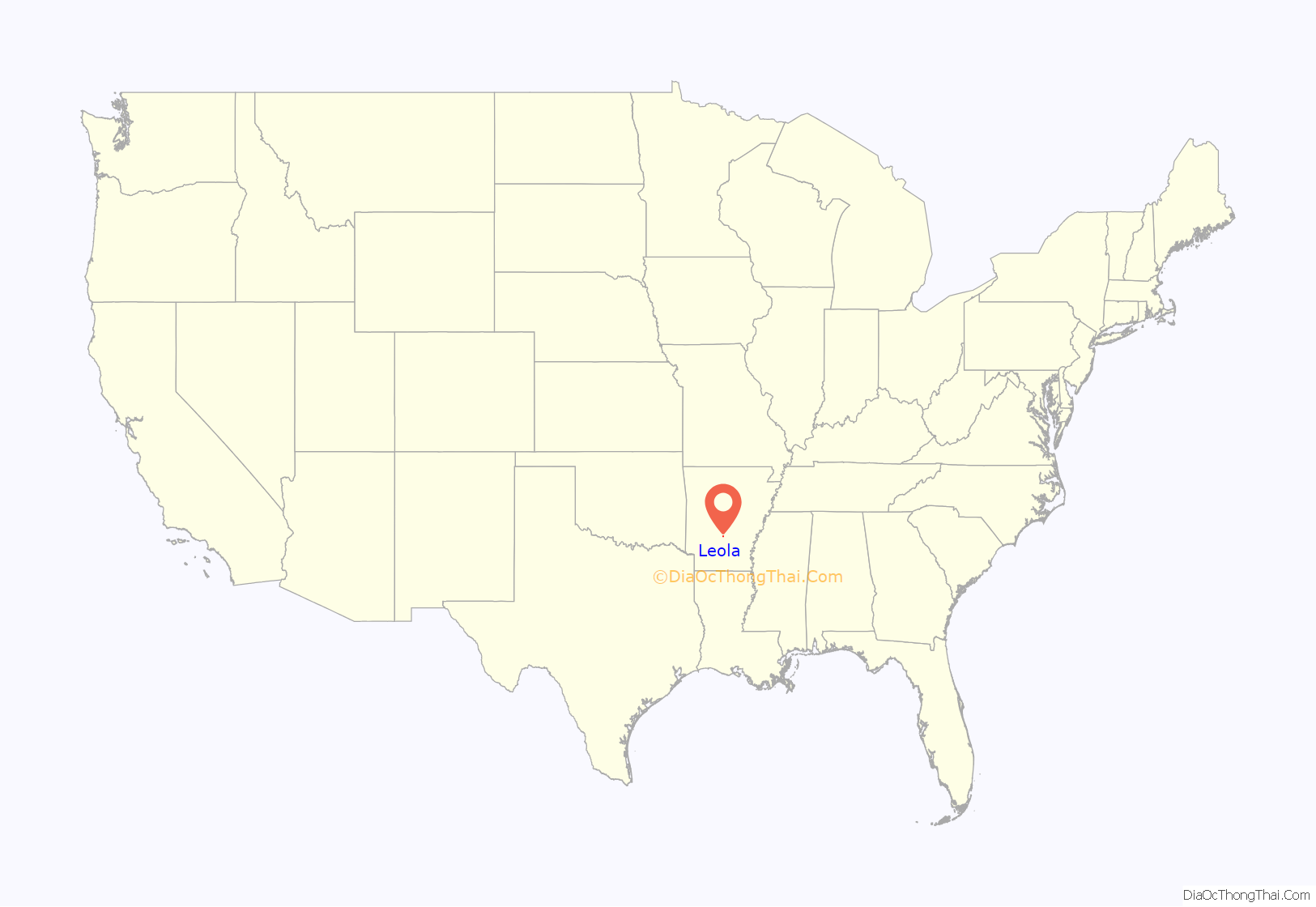
Leola is a town in Grant County, Arkansas, United States. The population was 501 at the 2010 census. It is the southernmost municipality within the Central Arkansas region.
| Name: | Leola town |
|---|---|
| LSAD Code: | 43 |
| LSAD Description: | town (suffix) |
| State: | Arkansas |
| County: | Grant County |
| Elevation: | 269 ft (82 m) |
| Total Area: | 0.85 sq mi (2.21 km²) |
| Land Area: | 0.85 sq mi (2.21 km²) |
| Water Area: | 0.00 sq mi (0.00 km²) |
| Total Population: | 460 |
| Population Density: | 538.64/sq mi (207.86/km²) |
| ZIP code: | 72084 |
| Area code: | 870 |
| FIPS code: | 0539310 |
| GNISfeature ID: | 0058056 |
Online Interactive Map
Click on ![]() to view map in "full screen" mode.
to view map in "full screen" mode.
Leola location map. Where is Leola town?
History
In 1864, the Camden Expedition (part of a larger military operation, the Red River Campaign), under the command of General Frederick Steele, marched his union troops along the Old Camden Road that passed through Leola after his supplies were depleted and Gen. Kirby’s Confederates were on his rear flank as they approached the Jenkins’ Ferry on the Saline River. A bloody battle of Jenkins’ Ferry ensued. The Union troops barely crossed the Saline River, when they did, they burned the pontoon bridge and resulted in a victory in retreated as the Union marched back to Union controlled Little Rock via Prattsville and Old Belfast along the Old Camden Road.
In the late summer of 1921, Winters Syndicate drilled down over 1,920 feet exploring for oil in the Leola area. The Belmont Oil Company planned to develop oil fields in Leola, too. However, no oil was discovered.
Ray Thornton (1928-2016) attended public school in Leola. Thornton is a former U.S. Representative, lawyer, Arkansas Supreme Court justice, university president, and currently is the Public Service Fellow for the University of Arkansas at Little Rock William H. Bowen School of Law. Thornton played “a key role in fashioning the articles of impeachment against President Richard Nixon concerning the Watergate cover-up.” Thornton was a party in the Supreme Court of the United States case, U.S. Term Limits, Inc. v. Thornton, that ruled that Arkansas and other states attempts at placing term limits on members of the U.S. House of Representatives and the U.S. Senate, unconstitutional.
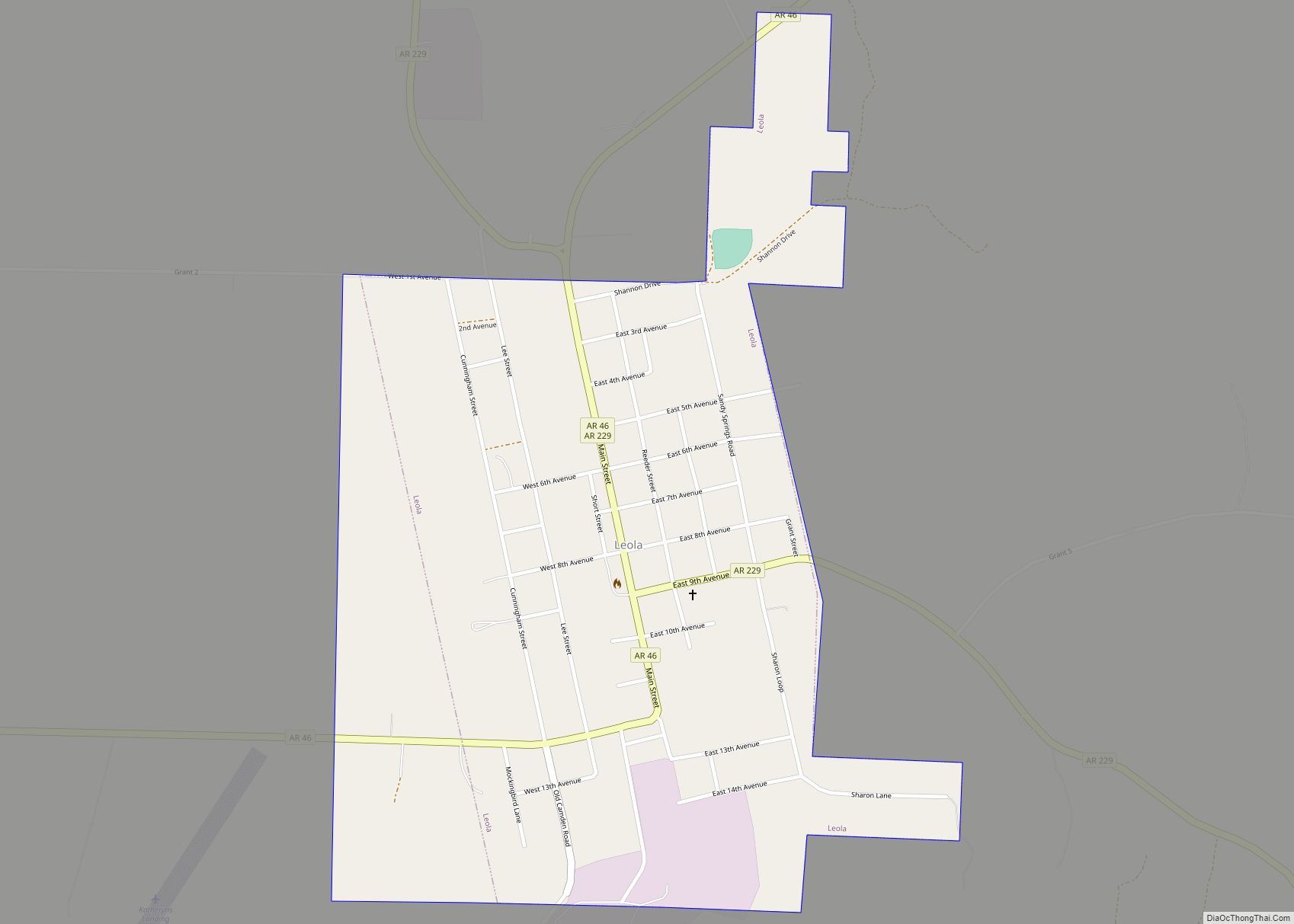
Leola Road Map
Leola city Satellite Map
Geography
Leola is located at 34°10′16″N 92°35′24″W / 34.17111°N 92.59000°W / 34.17111; -92.59000 (34.171094, -92.590133).
According to the United States Census Bureau, the town has a total area of 0.9 square miles (2.3 km), all land.
See also
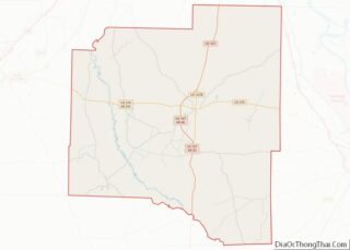
Map of Arkansas State and its subdivision:- Arkansas
- Ashley
- Baxter
- Benton
- Boone
- Bradley
- Calhoun
- Carroll
- Chicot
- Clark
- Clay
- Cleburne
- Cleveland
- Columbia
- Conway
- Craighead
- Crawford
- Crittenden
- Cross
- Dallas
- Desha
- Drew
- Faulkner
- Franklin
- Fulton
- Garland
- Grant
- Greene
- Hempstead
- Hot Spring
- Howard
- Independence
- Izard
- Jackson
- Jefferson
- Johnson
- Lafayette
- Lawrence
- Lee
- Lincoln
- Little River
- Logan
- Lonoke
- Madison
- Marion
- Miller
- Mississippi
- Monroe
- Montgomery
- Nevada
- Newton
- Ouachita
- Perry
- Phillips
- Pike
- Poinsett
- Polk
- Pope
- Prairie
- Pulaski
- Randolph
- Saint Francis
- Saline
- Scott
- Searcy
- Sebastian
- Sevier
- Sharp
- Stone
- Union
- Van Buren
- Washington
- White
- Woodruff
- Yell
- Alabama
- Alaska
- Arizona
- Arkansas
- California
- Colorado
- Connecticut
- Delaware
- District of Columbia
- Florida
- Georgia
- Hawaii
- Idaho
- Illinois
- Indiana
- Iowa
- Kansas
- Kentucky
- Louisiana
- Maine
- Maryland
- Massachusetts
- Michigan
- Minnesota
- Mississippi
- Missouri
- Montana
- Nebraska
- Nevada
- New Hampshire
- New Jersey
- New Mexico
- New York
- North Carolina
- North Dakota
- Ohio
- Oklahoma
- Oregon
- Pennsylvania
- Rhode Island
- South Carolina
- South Dakota
- Tennessee
- Texas
- Utah
- Vermont
- Virginia
- Washington
- West Virginia
- Wisconsin
- Wyoming
