Prattsville is a city in Grant County, Arkansas, United States. The population was 305 at the 2010 census. It is part of the Central Arkansas region.
| Name: | Prattsville town |
|---|---|
| LSAD Code: | 43 |
| LSAD Description: | town (suffix) |
| State: | Arkansas |
| County: | Grant County |
| Elevation: | 299 ft (91 m) |
| Total Area: | 1.62 sq mi (4.21 km²) |
| Land Area: | 1.62 sq mi (4.19 km²) |
| Water Area: | 0.01 sq mi (0.02 km²) |
| Total Population: | 289 |
| Population Density: | 178.73/sq mi (68.99/km²) |
| ZIP code: | 72129 |
| Area code: | 870 |
| FIPS code: | 0557230 |
| GNISfeature ID: | 0053780 |
Online Interactive Map
Click on ![]() to view map in "full screen" mode.
to view map in "full screen" mode.
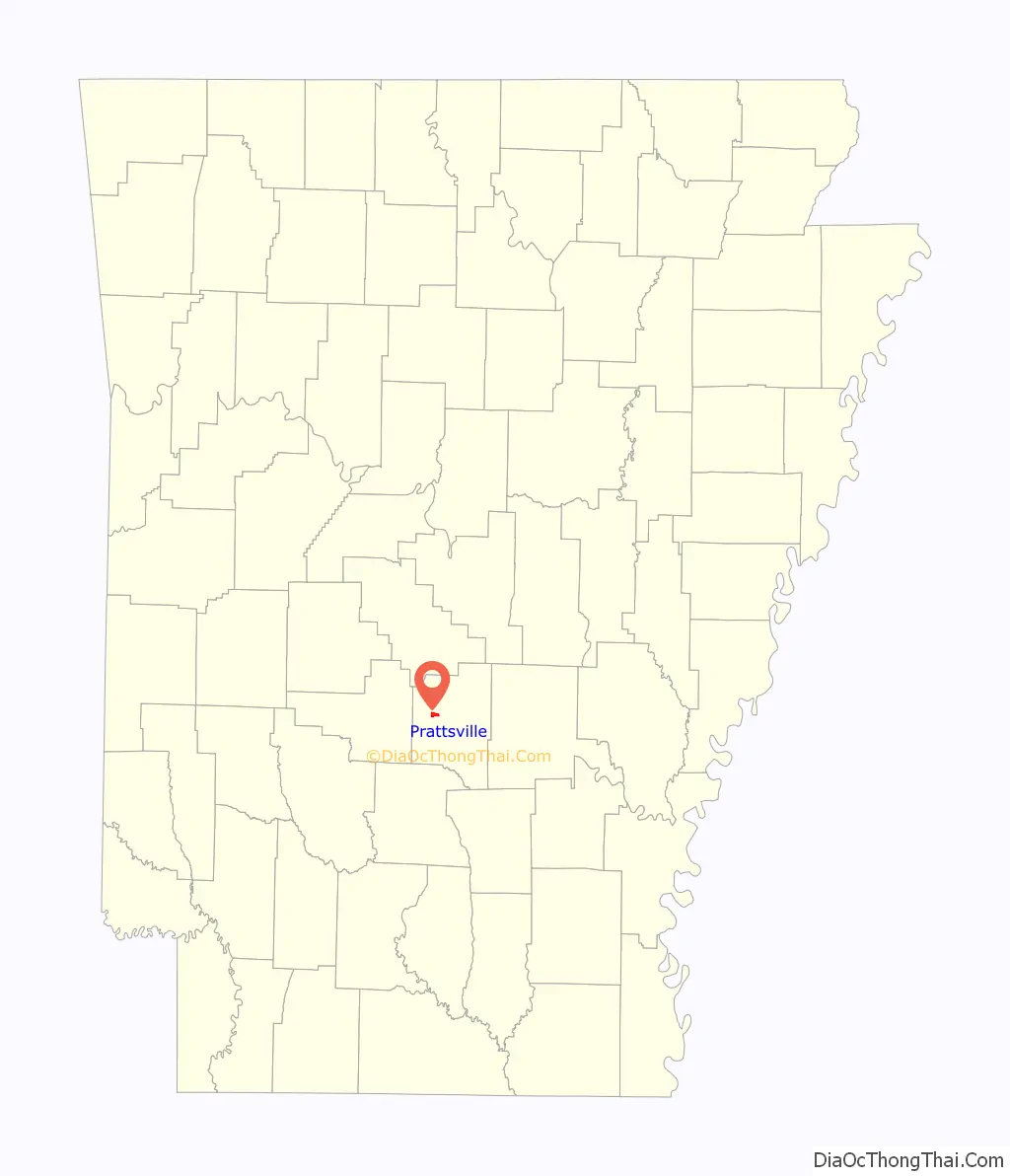
Prattsville location map. Where is Prattsville town?

History
Prattsville, then part of Saline County, was first settled by Elder Joab Pratt, a Baptist preacher, accompanied by several other families, with the surnames of Mayfield, Pumphrey, McDaniel, and Cobb, all arrived by wagon train from Bibb County, Alabama in 1841. Mr. Pratt is the source of the town’s name. Mr. Pratt operated Pratt’s Ferry close to where modern day Highway 270 crosses the Saline River and served as the postmaster for Lost Creek Post Office in 1846. Mr. Pratt founded Philadelphia Baptist Church soon after settling in the area south of the modern day city limits.
A section of the pre-statehood wagon road, the Old Camden Trail, was a highly traveled road throughout the nineteenth century that connected Little Rock and Camden. The Old Camden Trail was one of only five main roads in Arkansas during the 1800s and served early settlers of Prattsville. It is still marked on current maps in the town and has a historical marker north of Prattsville in the pioneer Village of Belfast, unfortunately the historic road has been gated and access to the marker blocked. During the Civil War, as part of Gen. Frederick Steele’s Camden expedition, part of the larger Red River Campaign, attempted to cross the Saline River at Pratt’s Ferry with his troops to get his nearly supply-less Union Army back to Little Rock along the Old Camden Road, however the water there was too high, and Gen. Steele and his troops turned south to cross at Jenkins Ferry, where his Union Army were engaged by Confederate Troops in what is called the Battle of Jenkins Ferry. Gen. Steele’s Camden expedition cost the Union army countless men and badly needed supplies. Gen. Steele and the Union Army escaped and made a retreat back to Little Rock along the Old Camden Trail.
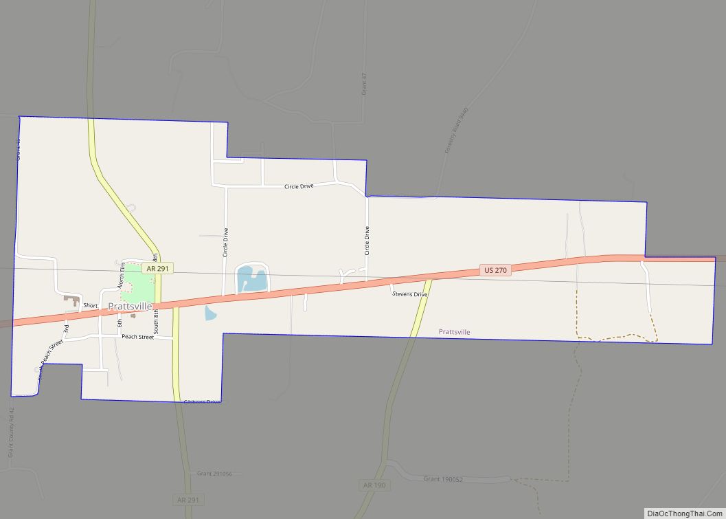
Prattsville Road Map
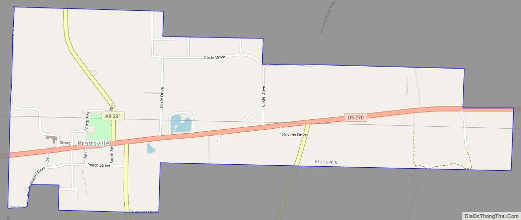
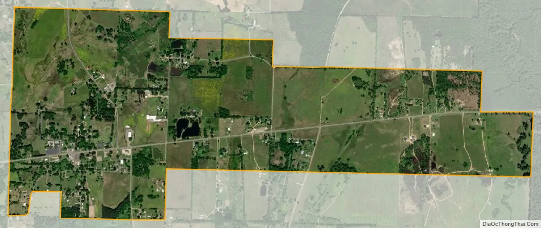
Prattsville city Satellite Map
Geography
Prattsville is located at 34°18′58″N 92°32′45″W / 34.31611°N 92.54583°W / 34.31611; -92.54583 (34.316050, -92.545868).
According to the United States Census Bureau, the city has a total area of 4.3 km (1.7 mi), all land.
See also
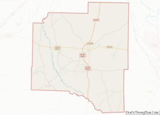
Map of Arkansas State and its subdivision:- Arkansas
- Ashley
- Baxter
- Benton
- Boone
- Bradley
- Calhoun
- Carroll
- Chicot
- Clark
- Clay
- Cleburne
- Cleveland
- Columbia
- Conway
- Craighead
- Crawford
- Crittenden
- Cross
- Dallas
- Desha
- Drew
- Faulkner
- Franklin
- Fulton
- Garland
- Grant
- Greene
- Hempstead
- Hot Spring
- Howard
- Independence
- Izard
- Jackson
- Jefferson
- Johnson
- Lafayette
- Lawrence
- Lee
- Lincoln
- Little River
- Logan
- Lonoke
- Madison
- Marion
- Miller
- Mississippi
- Monroe
- Montgomery
- Nevada
- Newton
- Ouachita
- Perry
- Phillips
- Pike
- Poinsett
- Polk
- Pope
- Prairie
- Pulaski
- Randolph
- Saint Francis
- Saline
- Scott
- Searcy
- Sebastian
- Sevier
- Sharp
- Stone
- Union
- Van Buren
- Washington
- White
- Woodruff
- Yell
- Alabama
- Alaska
- Arizona
- Arkansas
- California
- Colorado
- Connecticut
- Delaware
- District of Columbia
- Florida
- Georgia
- Hawaii
- Idaho
- Illinois
- Indiana
- Iowa
- Kansas
- Kentucky
- Louisiana
- Maine
- Maryland
- Massachusetts
- Michigan
- Minnesota
- Mississippi
- Missouri
- Montana
- Nebraska
- Nevada
- New Hampshire
- New Jersey
- New Mexico
- New York
- North Carolina
- North Dakota
- Ohio
- Oklahoma
- Oregon
- Pennsylvania
- Rhode Island
- South Carolina
- South Dakota
- Tennessee
- Texas
- Utah
- Vermont
- Virginia
- Washington
- West Virginia
- Wisconsin
- Wyoming