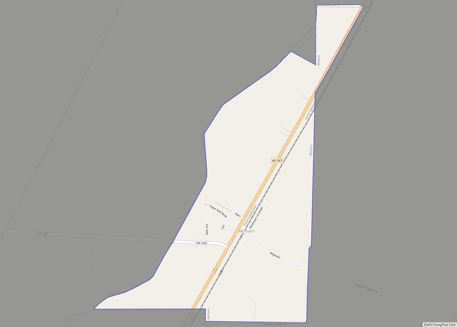
Minturn is a town in Lawrence County, Arkansas, United States. The population was 109 at the 2010 census.
| Name: | Minturn town |
|---|---|
| LSAD Code: | 43 |
| LSAD Description: | town (suffix) |
| State: | Arkansas |
| County: | Lawrence County |
| Elevation: | 262 ft (80 m) |
| Total Area: | 0.57 sq mi (1.47 km²) |
| Land Area: | 0.57 sq mi (1.47 km²) |
| Water Area: | 0.00 sq mi (0.00 km²) |
| Total Population: | 87 |
| Population Density: | 152.90/sq mi (59.03/km²) |
| ZIP code: | 72445 |
| Area code: | 870 |
| FIPS code: | 0546100 |
| GNISfeature ID: | 0058194 |
Online Interactive Map
Click on ![]() to view map in "full screen" mode.
to view map in "full screen" mode.
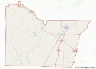
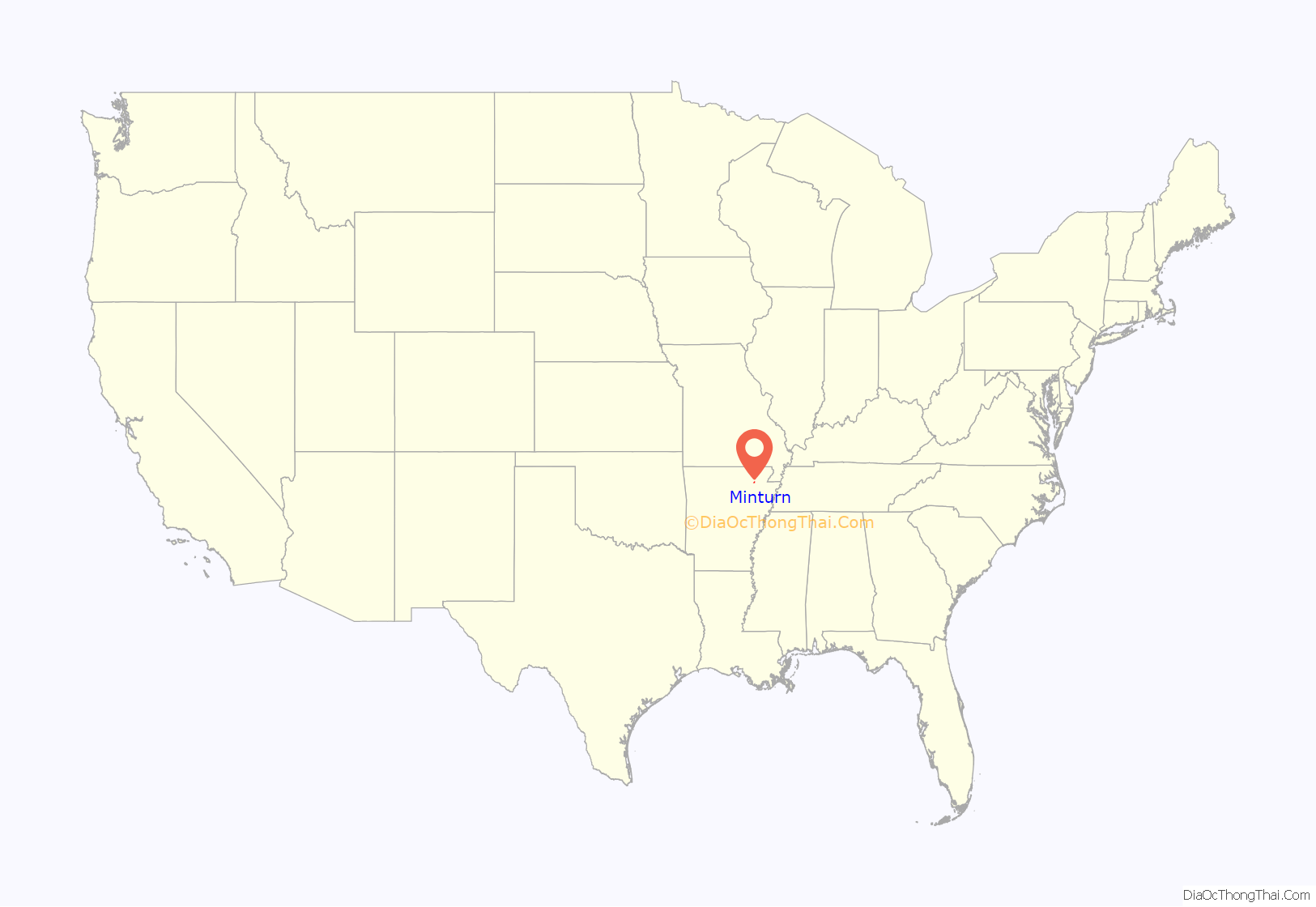
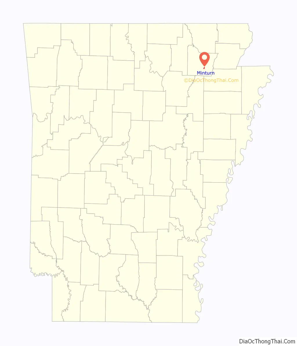
Minturn location map. Where is Minturn town?
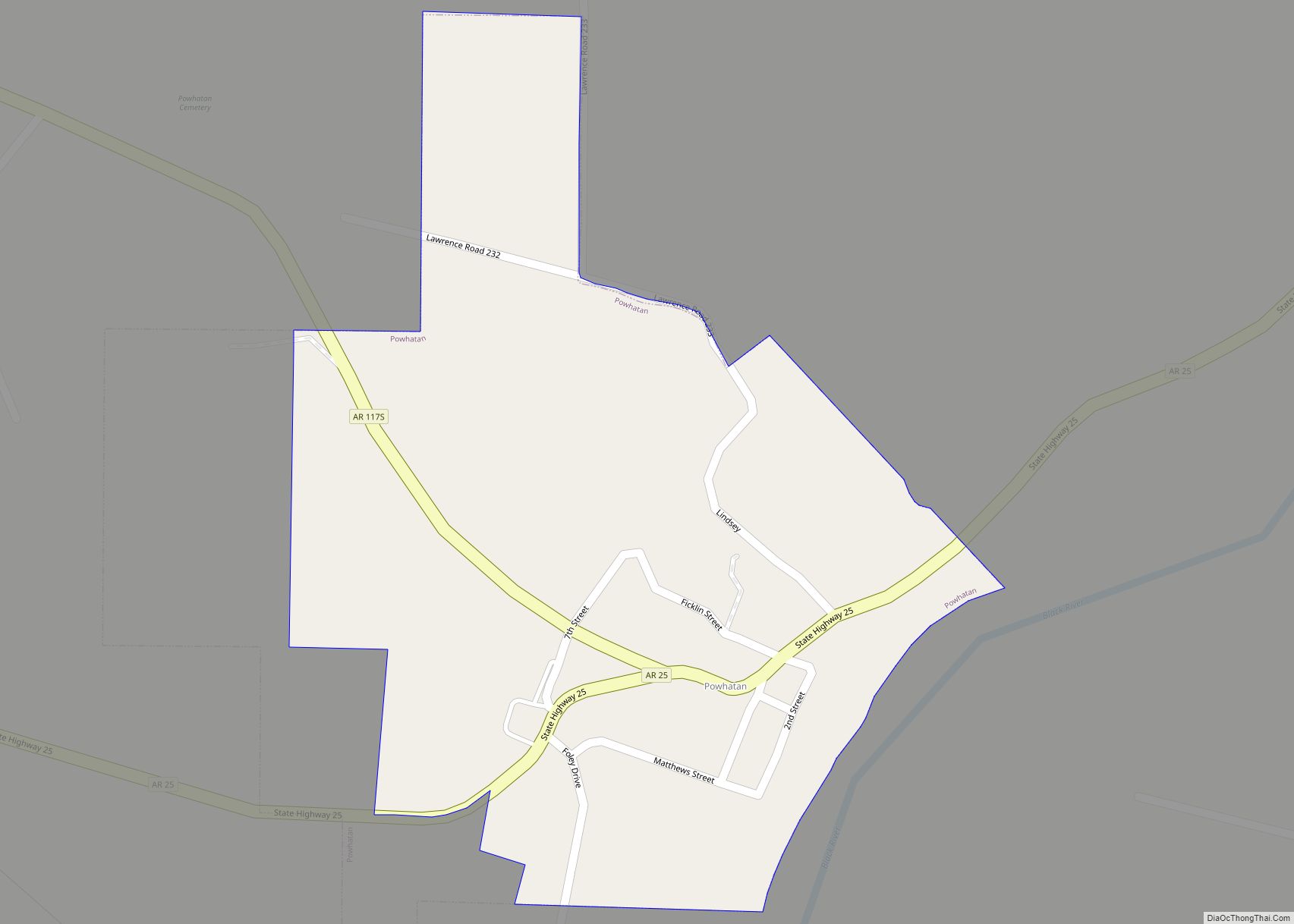
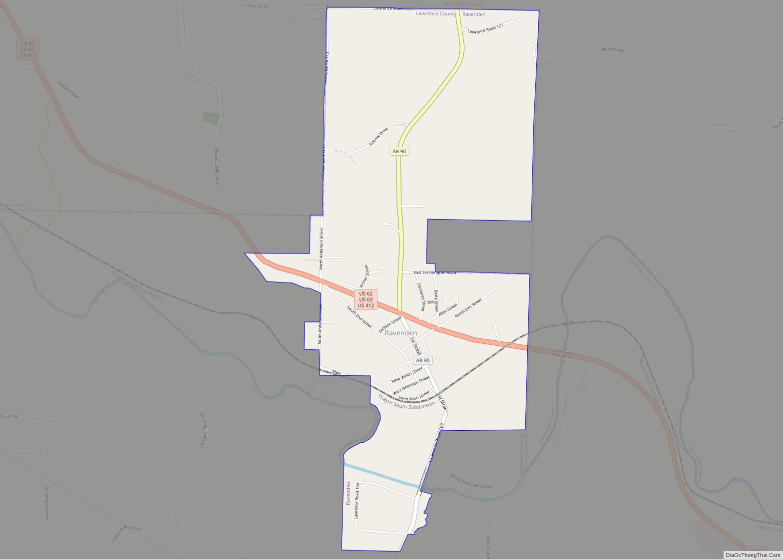
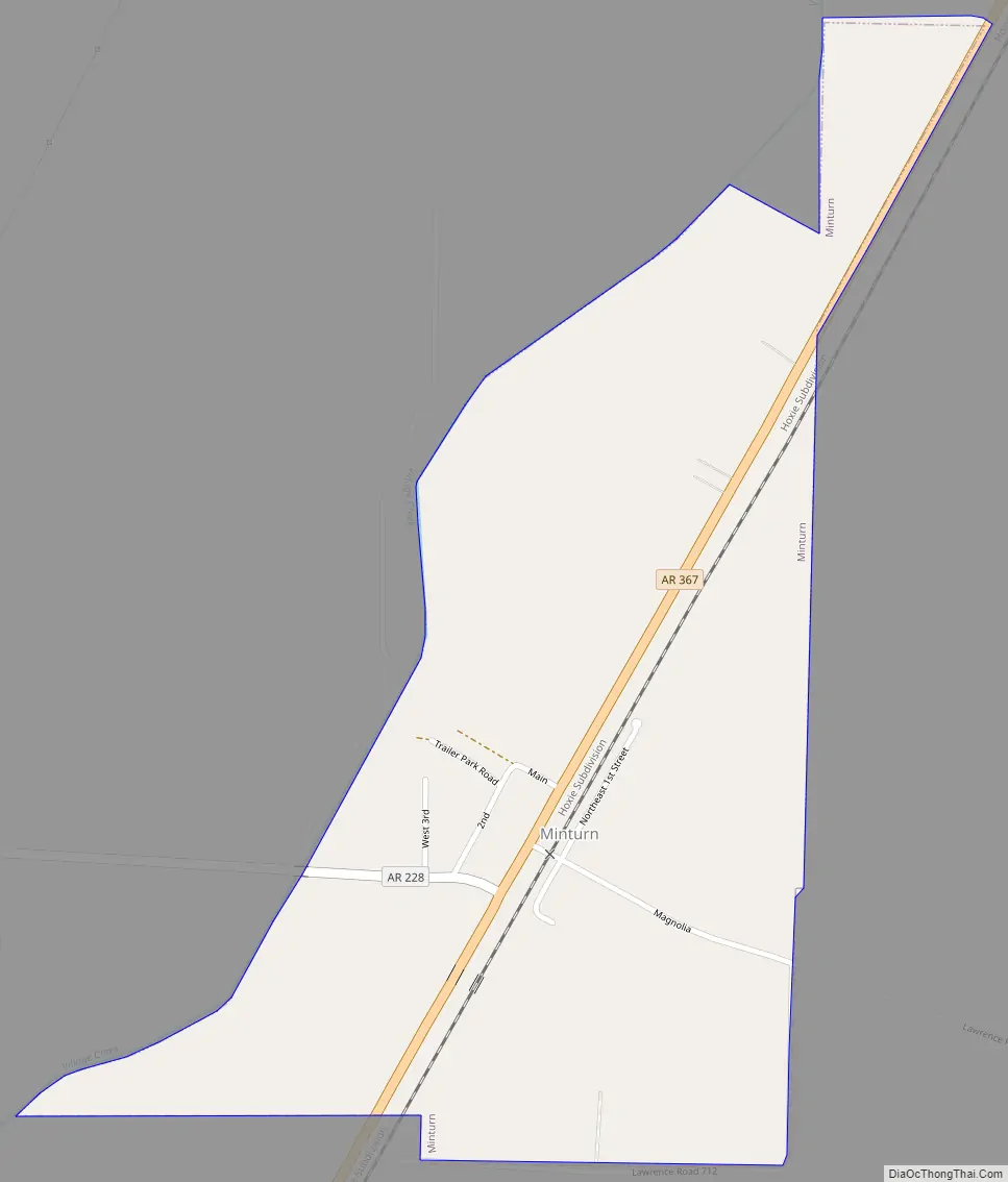
Minturn Road Map
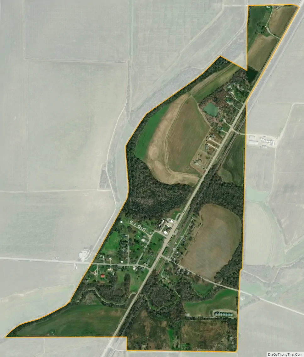
Minturn city Satellite Map
Geography
Minturn is located southeast of the center of Lawrence County at 35°58′24″N 91°1′44″W / 35.97333°N 91.02889°W / 35.97333; -91.02889 (35.973425, -91.028815).
According to the United States Census Bureau, the town has a total area of 1.3 km (0.5 mi), all land.
- Arkansas Highway 367 passes through the center of Minturn. It follows the former route of U.S. Route 67, which now passes east of Minturn on a four-lane freeway with no direct access to the town. Highway 367 leads northeast 6 miles (10 km) to Hoxie and southwest the same distance to Alicia.
- Arkansas Highway 228 leads west 6 miles (10 km) to a dead end at the Black River.
See also
Map of Arkansas State and its subdivision:- Arkansas
- Ashley
- Baxter
- Benton
- Boone
- Bradley
- Calhoun
- Carroll
- Chicot
- Clark
- Clay
- Cleburne
- Cleveland
- Columbia
- Conway
- Craighead
- Crawford
- Crittenden
- Cross
- Dallas
- Desha
- Drew
- Faulkner
- Franklin
- Fulton
- Garland
- Grant
- Greene
- Hempstead
- Hot Spring
- Howard
- Independence
- Izard
- Jackson
- Jefferson
- Johnson
- Lafayette
- Lawrence
- Lee
- Lincoln
- Little River
- Logan
- Lonoke
- Madison
- Marion
- Miller
- Mississippi
- Monroe
- Montgomery
- Nevada
- Newton
- Ouachita
- Perry
- Phillips
- Pike
- Poinsett
- Polk
- Pope
- Prairie
- Pulaski
- Randolph
- Saint Francis
- Saline
- Scott
- Searcy
- Sebastian
- Sevier
- Sharp
- Stone
- Union
- Van Buren
- Washington
- White
- Woodruff
- Yell
- Alabama
- Alaska
- Arizona
- Arkansas
- California
- Colorado
- Connecticut
- Delaware
- District of Columbia
- Florida
- Georgia
- Hawaii
- Idaho
- Illinois
- Indiana
- Iowa
- Kansas
- Kentucky
- Louisiana
- Maine
- Maryland
- Massachusetts
- Michigan
- Minnesota
- Mississippi
- Missouri
- Montana
- Nebraska
- Nevada
- New Hampshire
- New Jersey
- New Mexico
- New York
- North Carolina
- North Dakota
- Ohio
- Oklahoma
- Oregon
- Pennsylvania
- Rhode Island
- South Carolina
- South Dakota
- Tennessee
- Texas
- Utah
- Vermont
- Virginia
- Washington
- West Virginia
- Wisconsin
- Wyoming