Mountainburg is a town in Crawford County, Arkansas, United States. It is part of the Fort Smith, Arkansas–Oklahoma Metropolitan Statistical Area. As of the 2010 census the population was 631.
Mountainburg was laid out in 1883 when the St. Louis–San Francisco Railway was extended to that point.
| Name: | Mountainburg city |
|---|---|
| LSAD Code: | 25 |
| LSAD Description: | city (suffix) |
| State: | Arkansas |
| County: | Crawford County |
| Elevation: | 837 ft (255 m) |
| Total Area: | 1.47 sq mi (3.81 km²) |
| Land Area: | 1.47 sq mi (3.81 km²) |
| Water Area: | 0.00 sq mi (0.00 km²) |
| Total Population: | 528 |
| Population Density: | 358.70/sq mi (138.53/km²) |
| ZIP code: | 72946 |
| Area code: | 479 |
| FIPS code: | 0547300 |
| GNISfeature ID: | 2404334 |
Online Interactive Map
Click on ![]() to view map in "full screen" mode.
to view map in "full screen" mode.
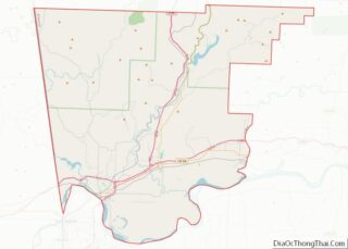
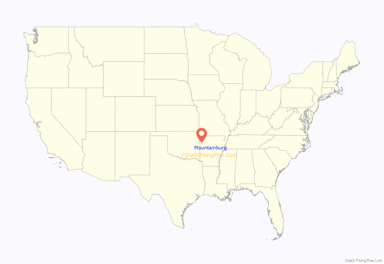
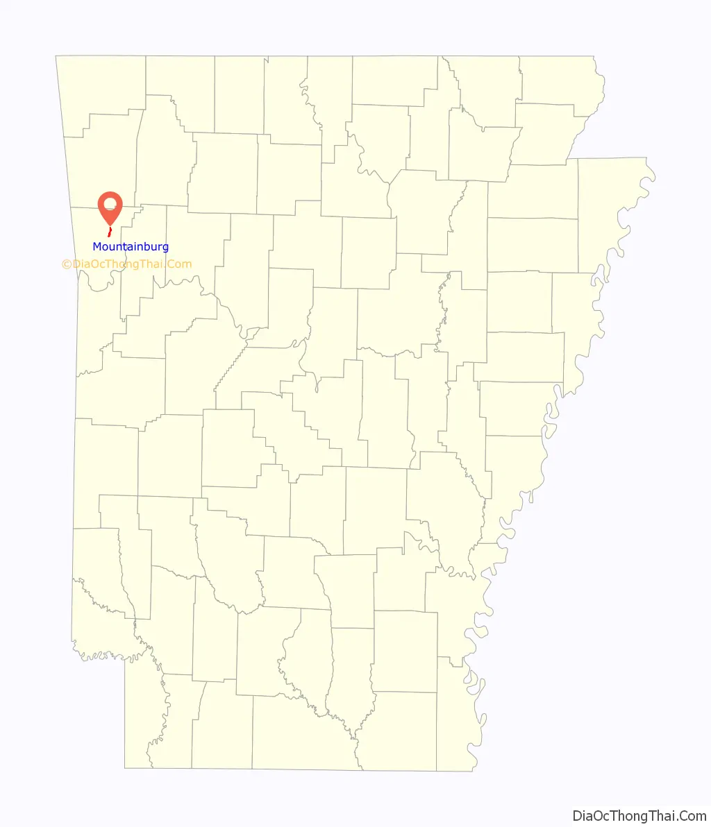
Mountainburg location map. Where is Mountainburg city?
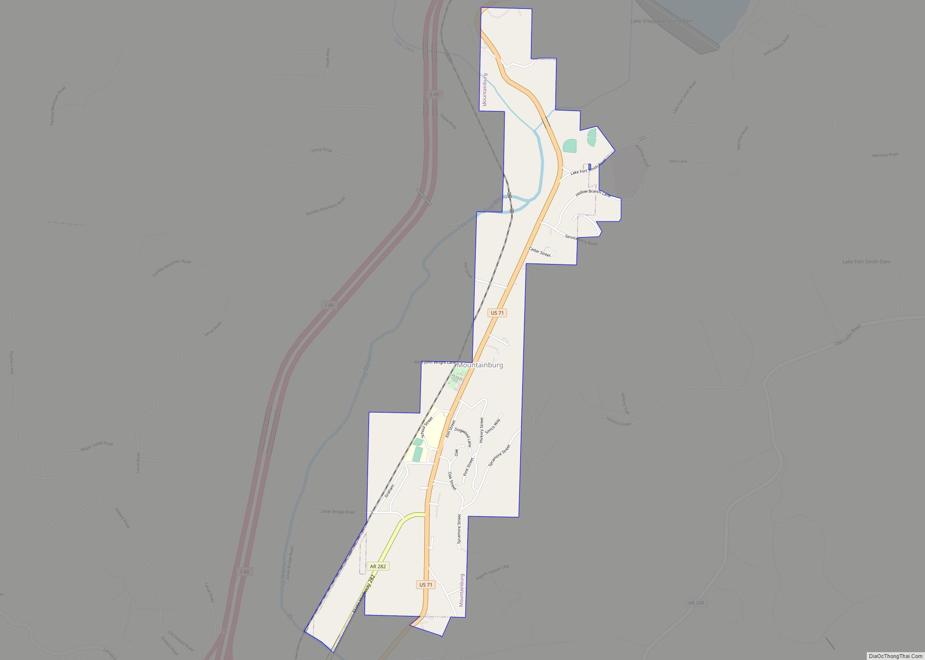
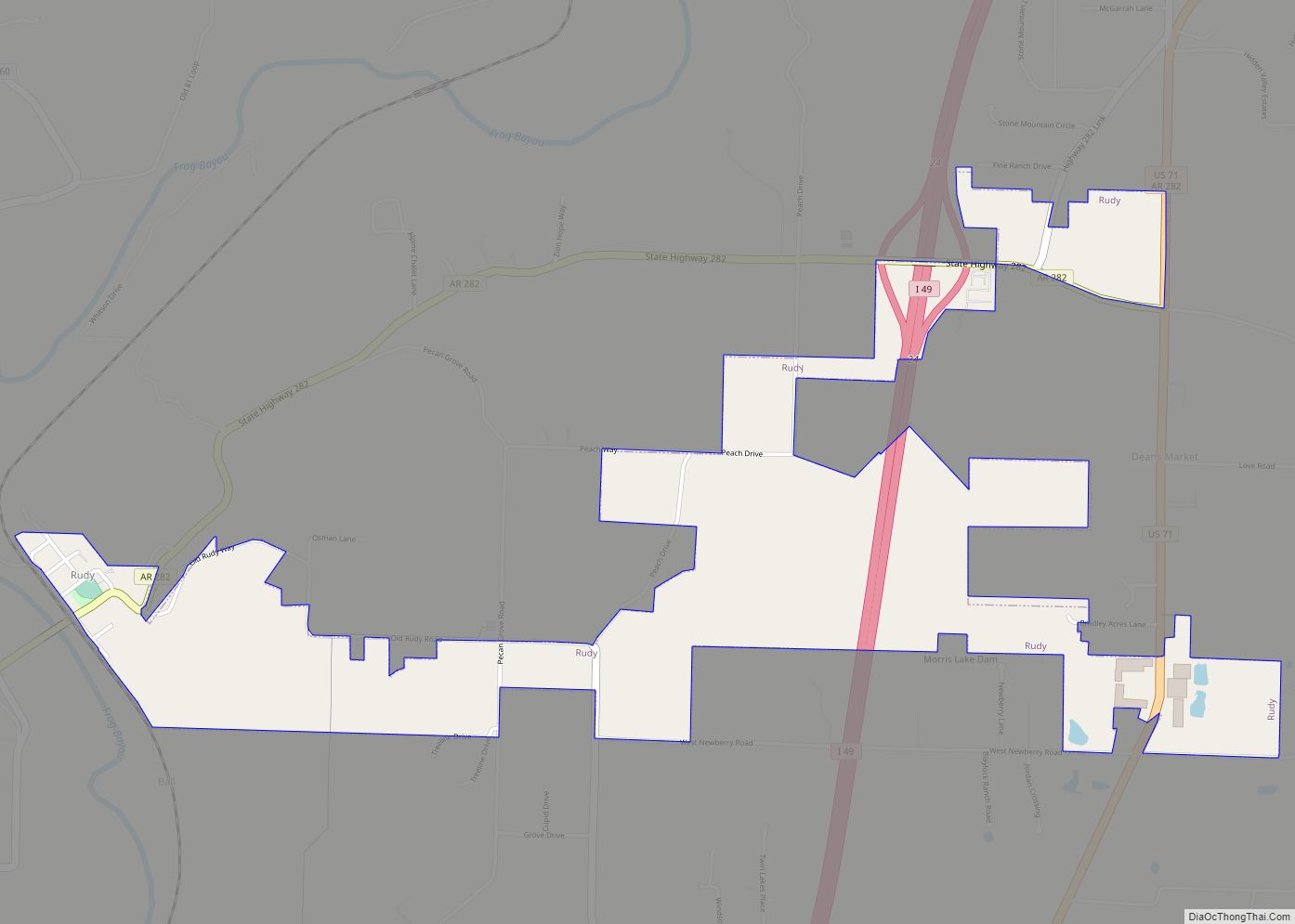
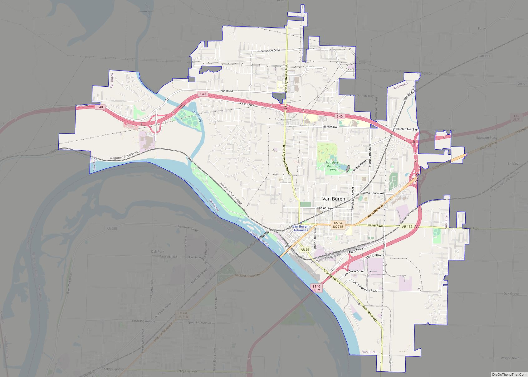
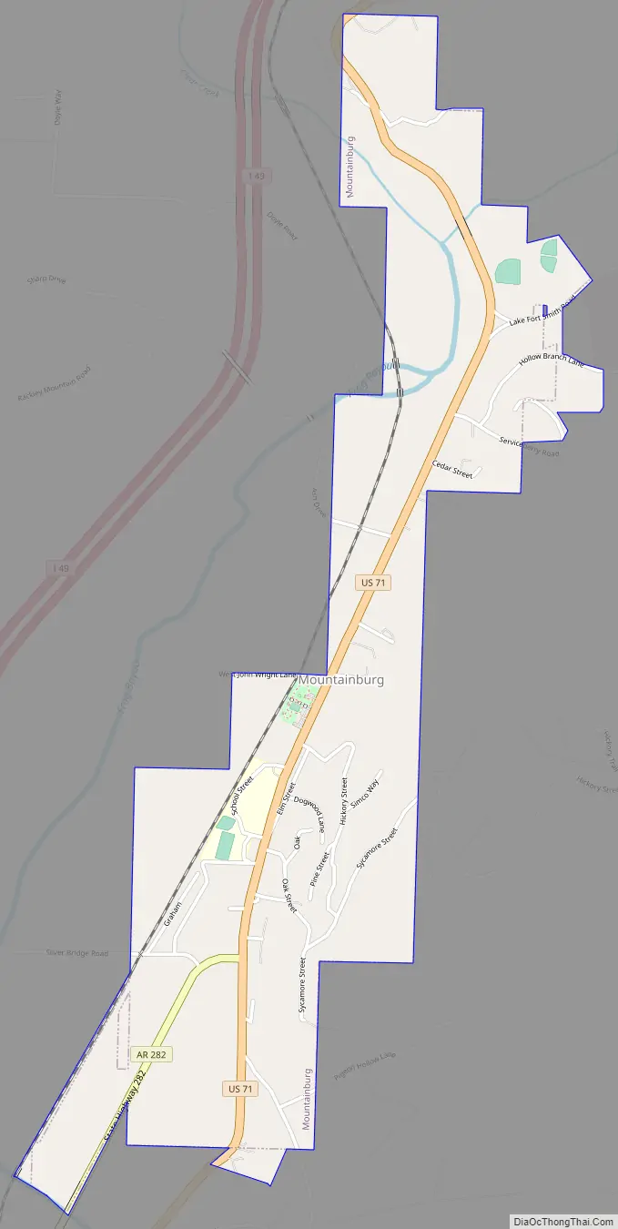
Mountainburg Road Map
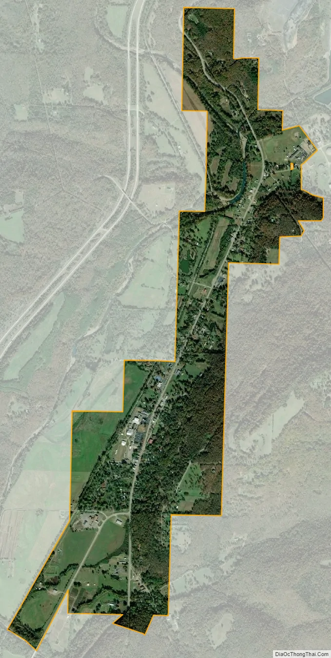
Mountainburg city Satellite Map
Geography
Mountainburg is located along U.S. Route 71, and thrived when this road was the main route in northwest Arkansas. Since the construction of Interstate 540 (now Interstate 49) to the west, it has been a sleepier community. The city park in downtown Mountainburg has since 1980 hosted two large dinosaur models.
Lake Fort Smith State Park, which is situated on the western side of the 1,400 acres (5.7 km) Lake Fort Smith, is located 8 miles (13 km) north of Mountainburg.
According to the United States Census Bureau, the city has a total area of 1.5 square miles (3.9 km), all land.
See also
Map of Arkansas State and its subdivision:- Arkansas
- Ashley
- Baxter
- Benton
- Boone
- Bradley
- Calhoun
- Carroll
- Chicot
- Clark
- Clay
- Cleburne
- Cleveland
- Columbia
- Conway
- Craighead
- Crawford
- Crittenden
- Cross
- Dallas
- Desha
- Drew
- Faulkner
- Franklin
- Fulton
- Garland
- Grant
- Greene
- Hempstead
- Hot Spring
- Howard
- Independence
- Izard
- Jackson
- Jefferson
- Johnson
- Lafayette
- Lawrence
- Lee
- Lincoln
- Little River
- Logan
- Lonoke
- Madison
- Marion
- Miller
- Mississippi
- Monroe
- Montgomery
- Nevada
- Newton
- Ouachita
- Perry
- Phillips
- Pike
- Poinsett
- Polk
- Pope
- Prairie
- Pulaski
- Randolph
- Saint Francis
- Saline
- Scott
- Searcy
- Sebastian
- Sevier
- Sharp
- Stone
- Union
- Van Buren
- Washington
- White
- Woodruff
- Yell
- Alabama
- Alaska
- Arizona
- Arkansas
- California
- Colorado
- Connecticut
- Delaware
- District of Columbia
- Florida
- Georgia
- Hawaii
- Idaho
- Illinois
- Indiana
- Iowa
- Kansas
- Kentucky
- Louisiana
- Maine
- Maryland
- Massachusetts
- Michigan
- Minnesota
- Mississippi
- Missouri
- Montana
- Nebraska
- Nevada
- New Hampshire
- New Jersey
- New Mexico
- New York
- North Carolina
- North Dakota
- Ohio
- Oklahoma
- Oregon
- Pennsylvania
- Rhode Island
- South Carolina
- South Dakota
- Tennessee
- Texas
- Utah
- Vermont
- Virginia
- Washington
- West Virginia
- Wisconsin
- Wyoming