New Blaine is an unincorporated community and census-designated place (CDP) in Logan County, Arkansas, United States. Per the 2020 census, the population was 173.
The following sites listed on the National Register of Historic Places are in or near New Blaine:
- Anhalt Barn, on County Road 68
- Old Arkansas Highway 22, part of AR 197, AR 197 Loop, and Rainwater Loop
- Elizabeth Hall, off AR 22
- Farmer’s State Bank, at 100 Seallars St.
- Freeborn T. Lasater House, at 494 AR 197
- Main Street Bridge, 2002 Sellers St. at Silver Smith Branch
- New Blaine School, at the junction of AR 22 and Spring Rd.
- Troy Lasater Service Station, on the AR 197 Loop.
| Name: | New Blaine CDP |
|---|---|
| LSAD Code: | 57 |
| LSAD Description: | CDP (suffix) |
| State: | Arkansas |
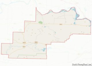
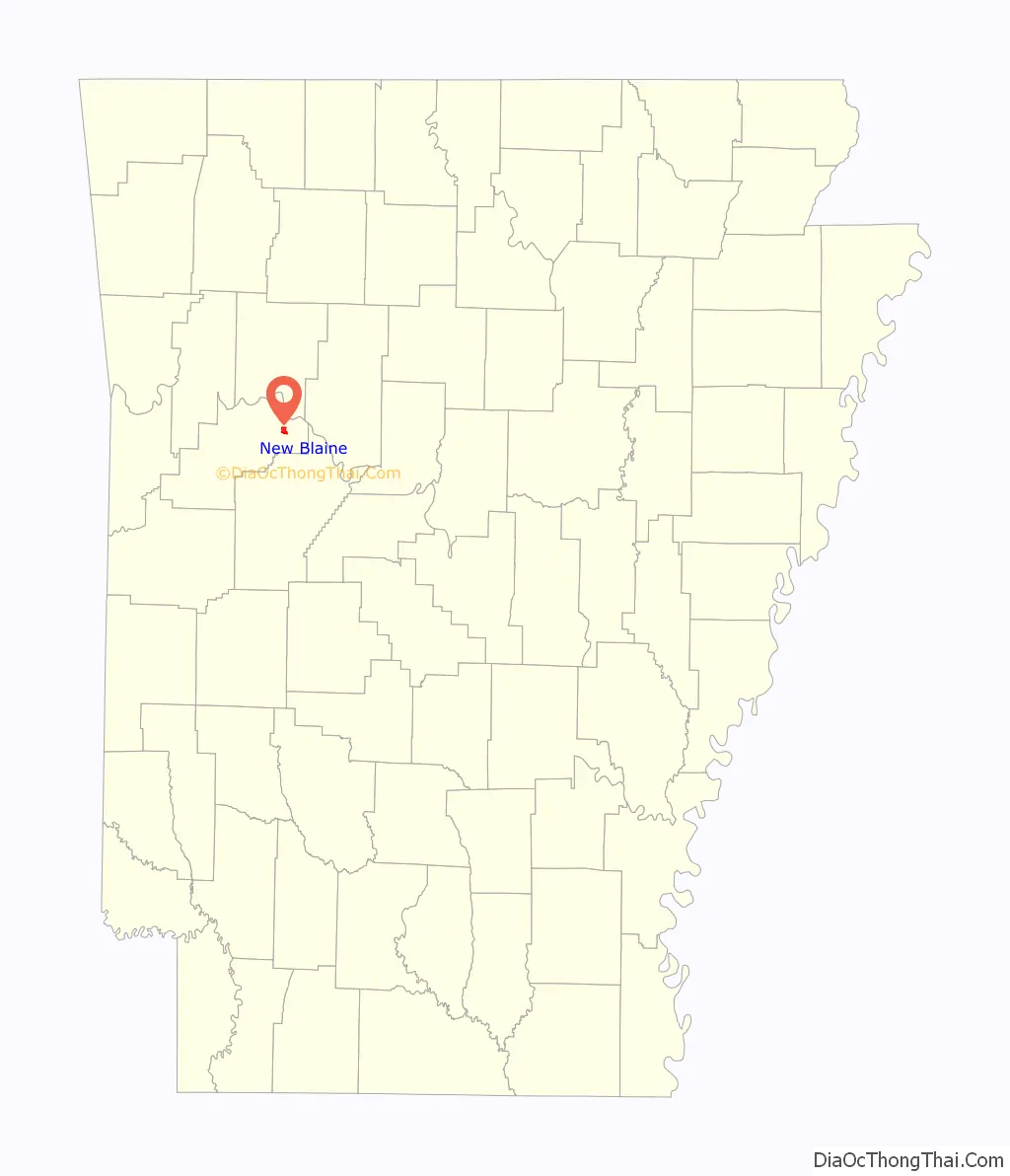
| County: | Logan County |
| Elevation: | 397 ft (121 m) |
| Total Area: | 1.90 sq mi (4.93 km²) |
| Land Area: | 1.59 sq mi (4.13 km²) |
| Water Area: | 0.31 sq mi (0.80 km²) |
| Total Population: | 173 |
| Population Density: | 108.46/sq mi (41.88/km²) |
| Area code: | 479 |
| FIPS code: | 0549070 |
| GNISfeature ID: | 2612130 |
Online Interactive Map
Click on ![]() to view map in "full screen" mode.
to view map in "full screen" mode.
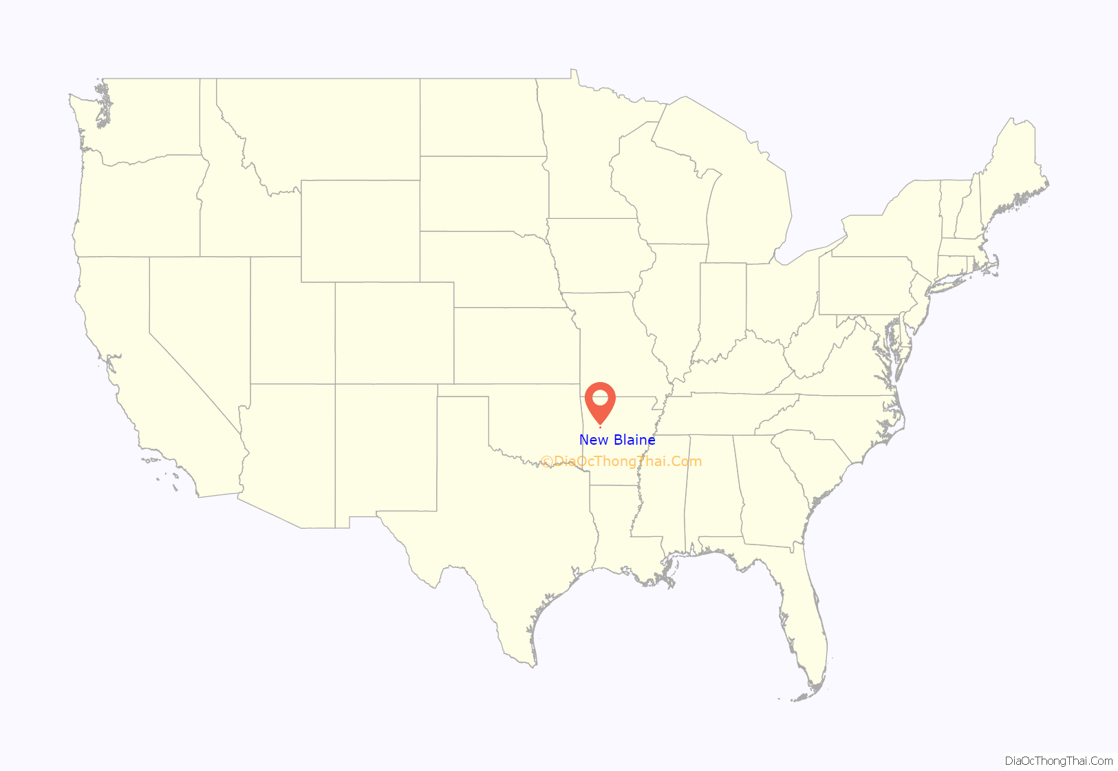
New Blaine location map. Where is New Blaine CDP?
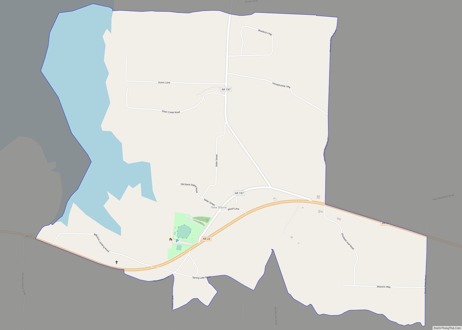
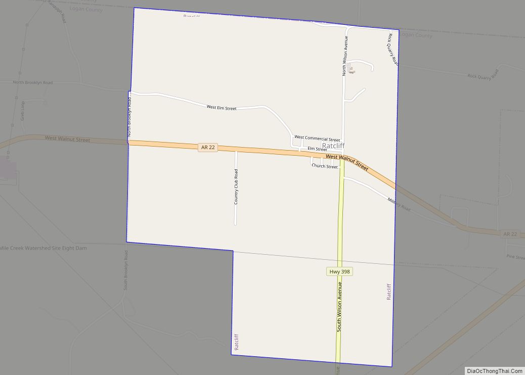
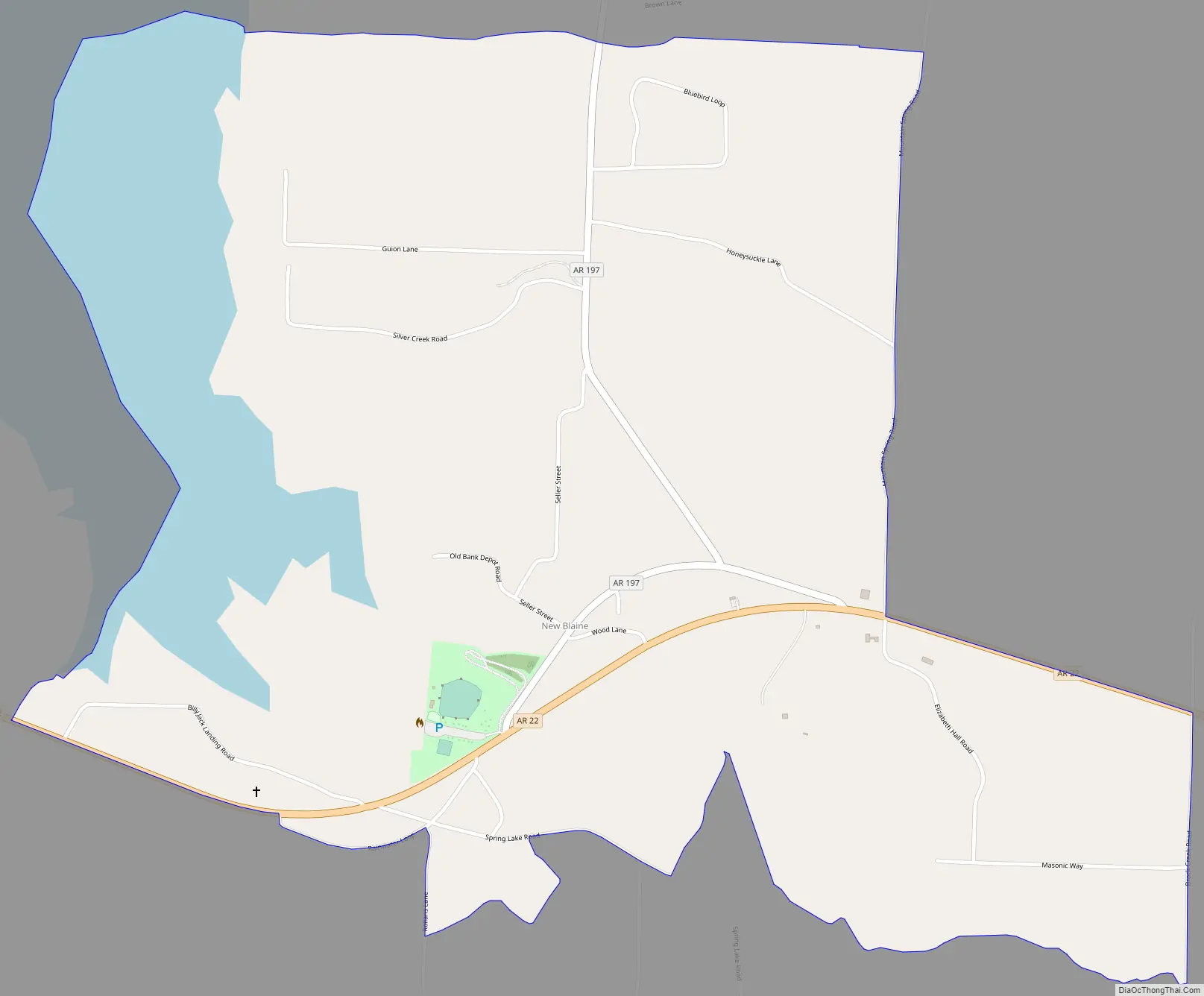
New Blaine Road Map
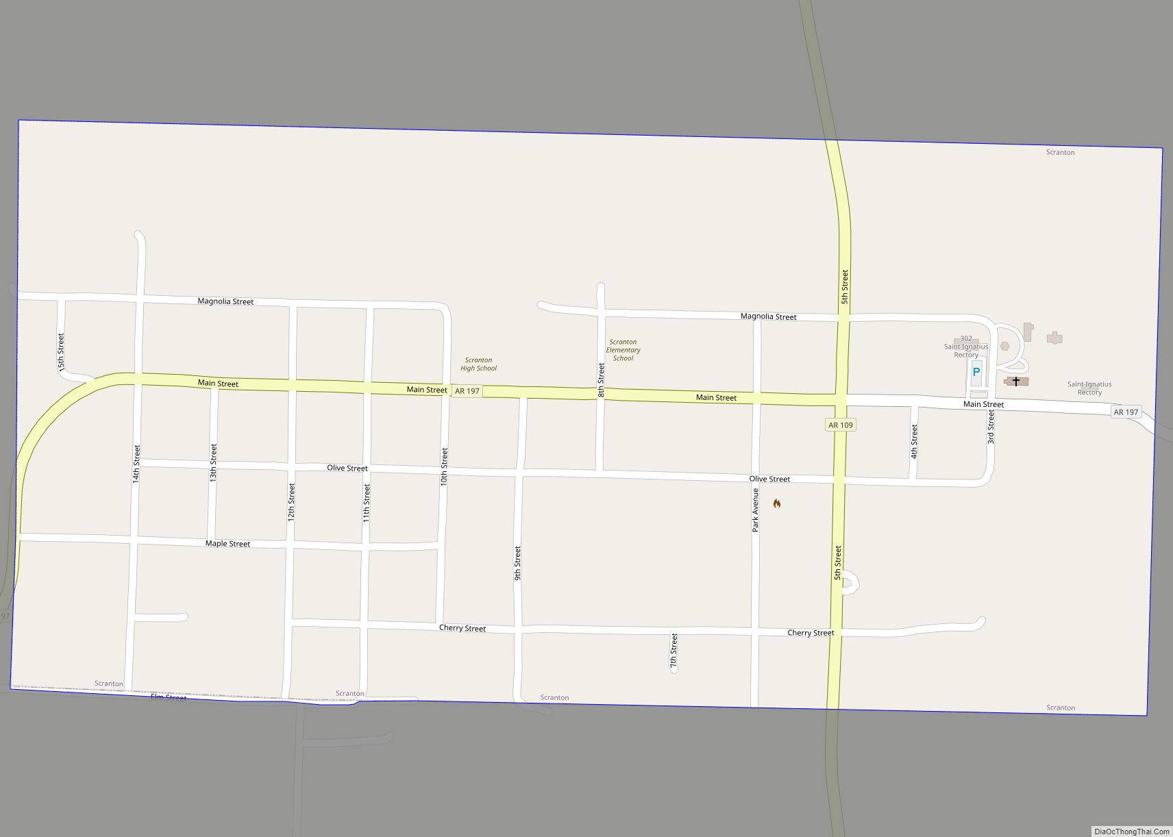
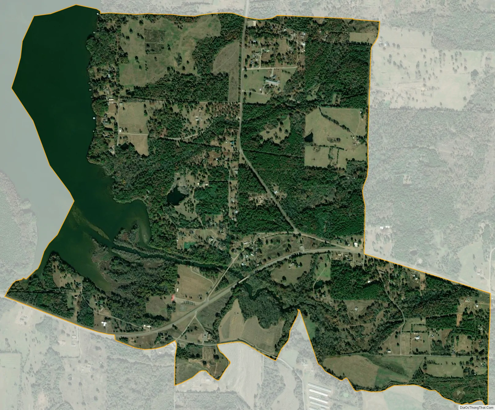
New Blaine city Satellite Map
Geography
The community is in eastern Logan County in the valley of Little Shoal Creek at its inlet to an arm of Lake Dardanelle, an impoundment on the Arkansas River. Arkansas Highway 22 passes through the community, leading east 16 miles (26 km) to Dardanelle and west 18 miles (29 km) to Paris. Highway 197 branches north from Highway 22 in New Blaine, leading north 2 miles (3 km) to the Shoal Bay Recreation Area.
According to the U.S. Census Bureau, the New Blaine CDP has a total area of 2.0 square miles (5.1 km), of which 1.6 square miles (4.2 km) are land and 0.3 square miles (0.8 km), or 16.53%, are water.
See also
Map of Arkansas State and its subdivision:- Arkansas
- Ashley
- Baxter
- Benton
- Boone
- Bradley
- Calhoun
- Carroll
- Chicot
- Clark
- Clay
- Cleburne
- Cleveland
- Columbia
- Conway
- Craighead
- Crawford
- Crittenden
- Cross
- Dallas
- Desha
- Drew
- Faulkner
- Franklin
- Fulton
- Garland
- Grant
- Greene
- Hempstead
- Hot Spring
- Howard
- Independence
- Izard
- Jackson
- Jefferson
- Johnson
- Lafayette
- Lawrence
- Lee
- Lincoln
- Little River
- Logan
- Lonoke
- Madison
- Marion
- Miller
- Mississippi
- Monroe
- Montgomery
- Nevada
- Newton
- Ouachita
- Perry
- Phillips
- Pike
- Poinsett
- Polk
- Pope
- Prairie
- Pulaski
- Randolph
- Saint Francis
- Saline
- Scott
- Searcy
- Sebastian
- Sevier
- Sharp
- Stone
- Union
- Van Buren
- Washington
- White
- Woodruff
- Yell
- Alabama
- Alaska
- Arizona
- Arkansas
- California
- Colorado
- Connecticut
- Delaware
- District of Columbia
- Florida
- Georgia
- Hawaii
- Idaho
- Illinois
- Indiana
- Iowa
- Kansas
- Kentucky
- Louisiana
- Maine
- Maryland
- Massachusetts
- Michigan
- Minnesota
- Mississippi
- Missouri
- Montana
- Nebraska
- Nevada
- New Hampshire
- New Jersey
- New Mexico
- New York
- North Carolina
- North Dakota
- Ohio
- Oklahoma
- Oregon
- Pennsylvania
- Rhode Island
- South Carolina
- South Dakota
- Tennessee
- Texas
- Utah
- Vermont
- Virginia
- Washington
- West Virginia
- Wisconsin
- Wyoming