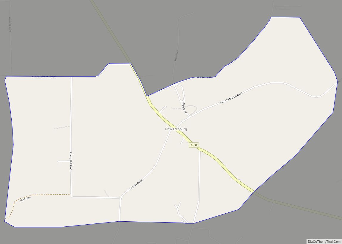
New Edinburg is an unincorporated census-designated place in Cleveland County, Arkansas, United States. Per the 2020 census, the population was 134.
| Name: | New Edinburg CDP |
|---|---|
| LSAD Code: | 57 |
| LSAD Description: | CDP (suffix) |
| State: | Arkansas |
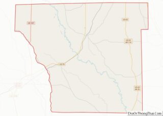
| County: | Cleveland County |
| Elevation: | 289 ft (88 m) |
| Total Area: | 3.20 sq mi (8.30 km²) |
| Land Area: | 3.20 sq mi (8.30 km²) |
| Water Area: | 0.00 sq mi (0.00 km²) |
| Total Population: | 134 |
| Population Density: | 41.84/sq mi (16.15/km²) |
| Area code: | 870 |
| FIPS code: | 0549220 |
| GNISfeature ID: | 77811 |
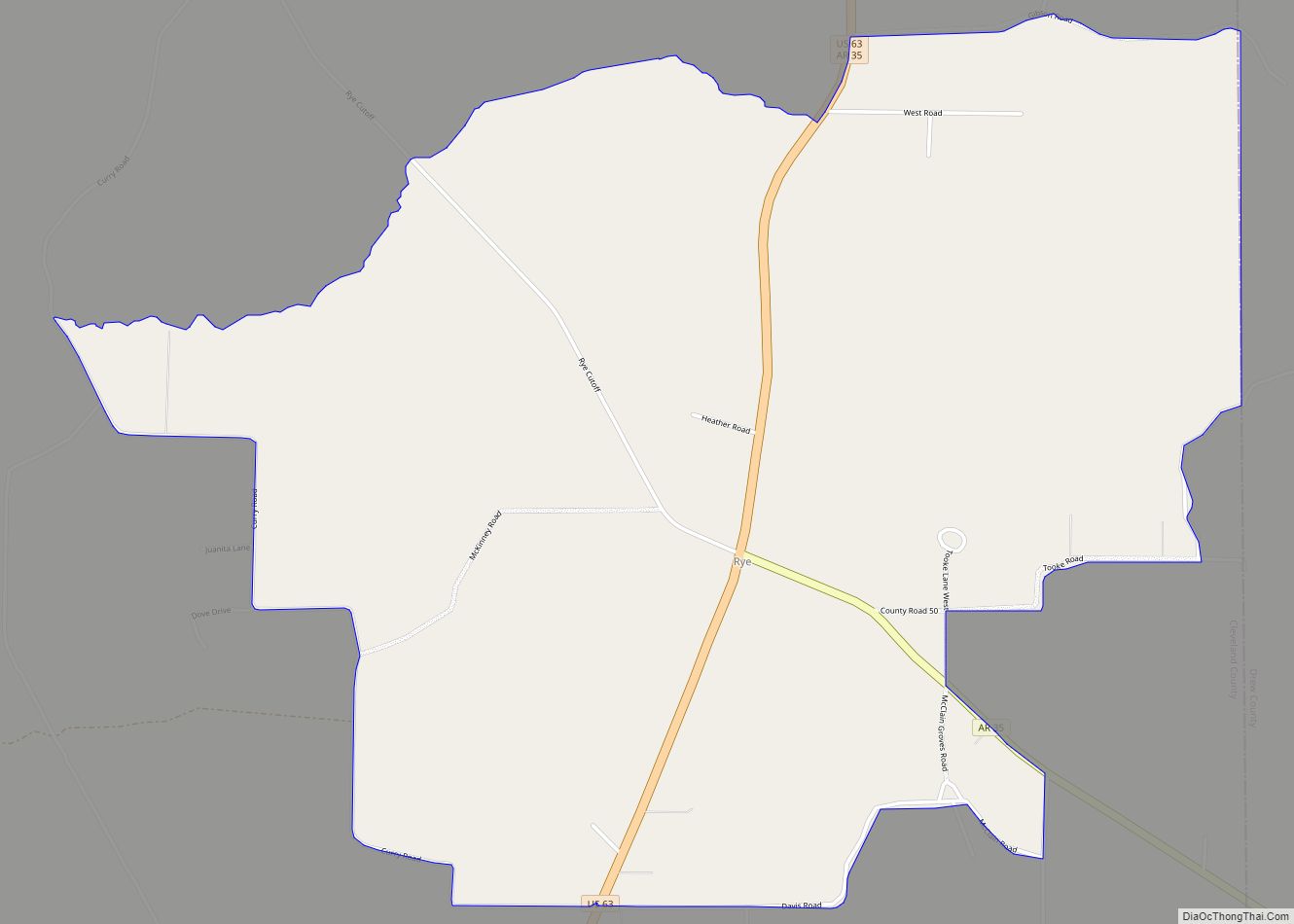
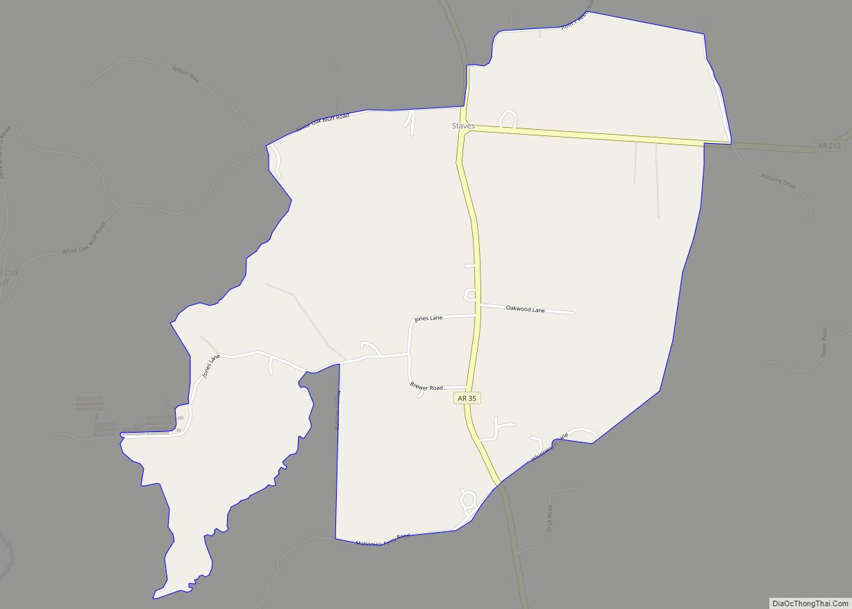
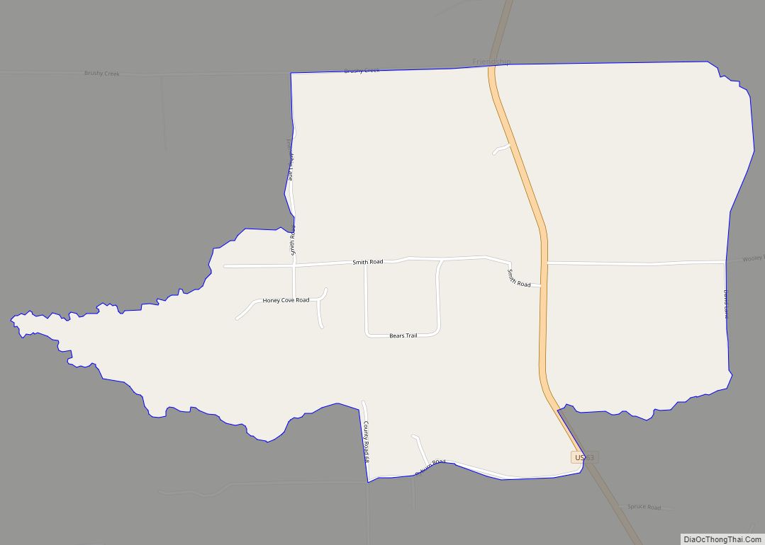
Online Interactive Map
Click on ![]() to view map in "full screen" mode.
to view map in "full screen" mode.
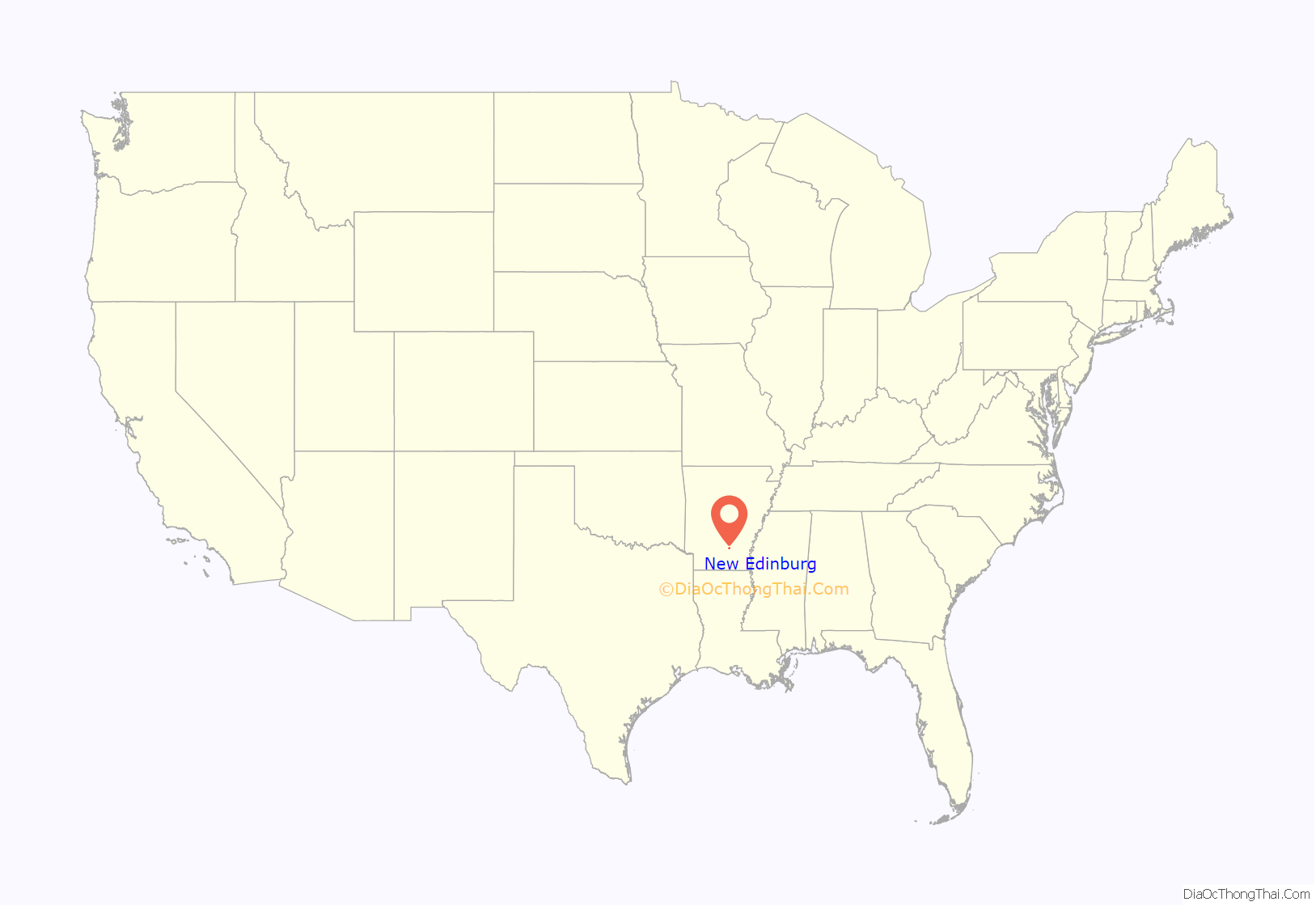
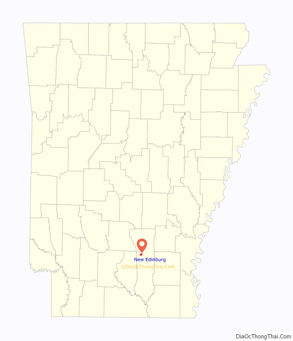
New Edinburg location map. Where is New Edinburg CDP?
History
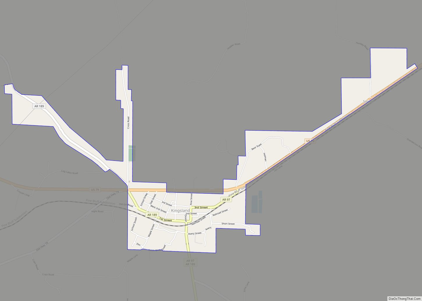
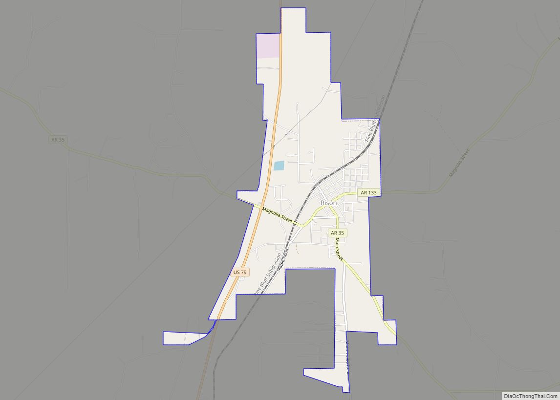
At the time the first Toledo courthouse burned down in 1889, New Edinburg had a population of 200. The unincorporated area was in the running to receive the county seat along with Rison, Kingsland, and Beasley’s Switch. None of the towns managed to get a majority vote, so a second election was held. Rison won the county seat and it remains the seat today.
According to Arkansas Preservation, in the late 1800s, W. D. Attwood built a Queen Anne Classic-style residence in New Edinburg. Attwood was a town merchant and built the first brick store, the Attwood Mercantile Store. The location of Attwood’s store is now the home of McClellan’s Country Store, the only mercantile establishment in New Edinburg. In 1917, Emmett Moseley altered Attwood’s house to its current appearance. The building is still a private residence, and in 1994 it was added to the National Register of Historic Places.
New Edinburg is the location of, or the nearest community to, three historic sites listed on the National Register of Historic Places:
- Attwood-Hopson House, on the north side of Arkansas Highway 8
- Barnett-Attwood House, northeast of New Edinburg
- New Edinburg Commercial Historic District, on Arkansas Highway 8
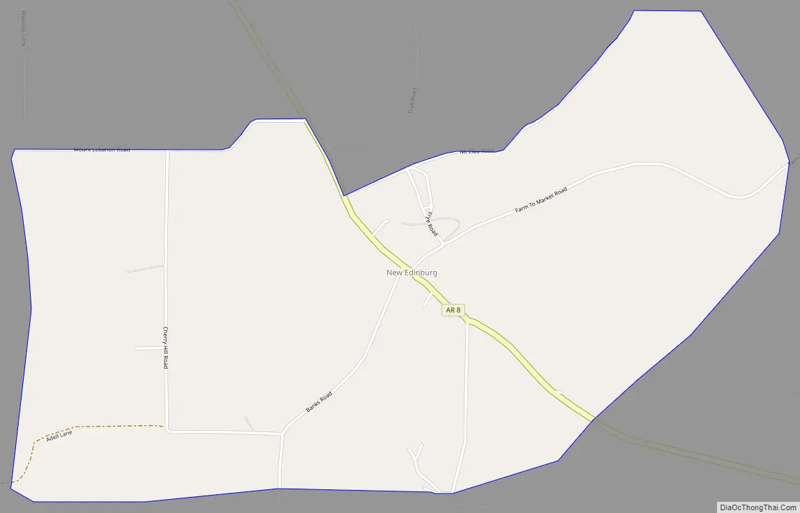
New Edinburg Road Map
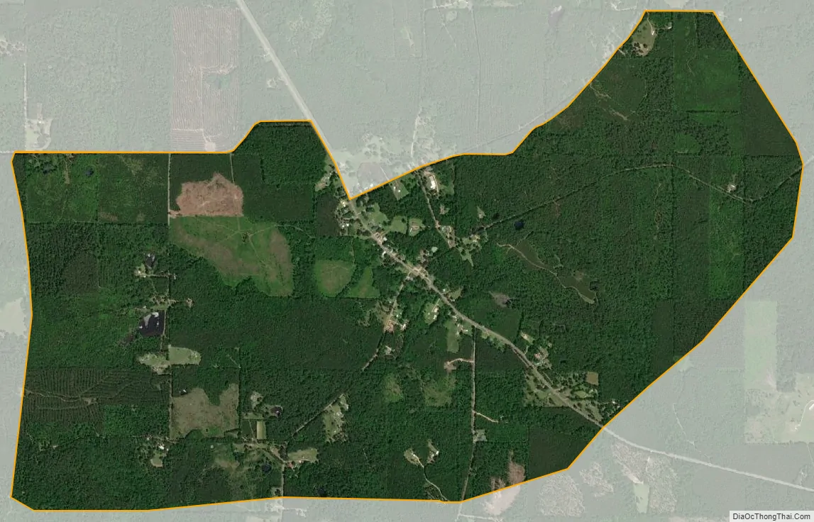
New Edinburg city Satellite Map
Geography
New Edinburg is located in southwestern Cleveland County at 33°45′26″N 92°14′19″W / 33.75722°N 92.23861°W / 33.75722; -92.23861, at an elevation of 292 feet (89 m). Arkansas Highway 8 passes through the community, leading northwest 11 miles (18 km) to Fordyce and southeast 15 miles (24 km) to Warren. Rison, the county seat, is 18 miles (29 km) north via Highways 8, 97, and 79.
See also
Map of Arkansas State and its subdivision:- Arkansas
- Ashley
- Baxter
- Benton
- Boone
- Bradley
- Calhoun
- Carroll
- Chicot
- Clark
- Clay
- Cleburne
- Cleveland
- Columbia
- Conway
- Craighead
- Crawford
- Crittenden
- Cross
- Dallas
- Desha
- Drew
- Faulkner
- Franklin
- Fulton
- Garland
- Grant
- Greene
- Hempstead
- Hot Spring
- Howard
- Independence
- Izard
- Jackson
- Jefferson
- Johnson
- Lafayette
- Lawrence
- Lee
- Lincoln
- Little River
- Logan
- Lonoke
- Madison
- Marion
- Miller
- Mississippi
- Monroe
- Montgomery
- Nevada
- Newton
- Ouachita
- Perry
- Phillips
- Pike
- Poinsett
- Polk
- Pope
- Prairie
- Pulaski
- Randolph
- Saint Francis
- Saline
- Scott
- Searcy
- Sebastian
- Sevier
- Sharp
- Stone
- Union
- Van Buren
- Washington
- White
- Woodruff
- Yell
- Alabama
- Alaska
- Arizona
- Arkansas
- California
- Colorado
- Connecticut
- Delaware
- District of Columbia
- Florida
- Georgia
- Hawaii
- Idaho
- Illinois
- Indiana
- Iowa
- Kansas
- Kentucky
- Louisiana
- Maine
- Maryland
- Massachusetts
- Michigan
- Minnesota
- Mississippi
- Missouri
- Montana
- Nebraska
- Nevada
- New Hampshire
- New Jersey
- New Mexico
- New York
- North Carolina
- North Dakota
- Ohio
- Oklahoma
- Oregon
- Pennsylvania
- Rhode Island
- South Carolina
- South Dakota
- Tennessee
- Texas
- Utah
- Vermont
- Virginia
- Washington
- West Virginia
- Wisconsin
- Wyoming