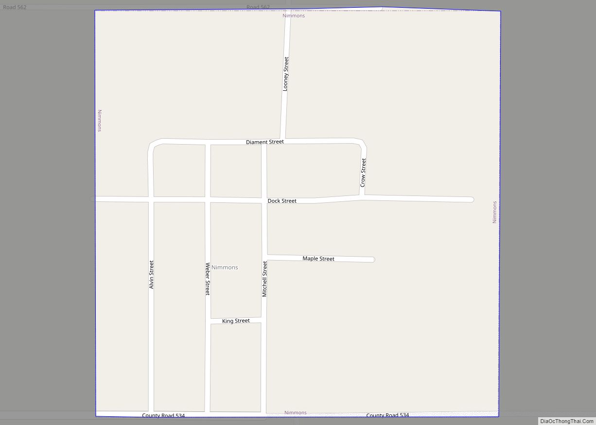
Nimmons is a town in Clay County, Arkansas, United States. The population was 69 at the 2010 census, down from 100 in 2000.
| Name: | Nimmons town |
|---|---|
| LSAD Code: | 43 |
| LSAD Description: | town (suffix) |
| State: | Arkansas |
| County: | Clay County |
| Elevation: | 269 ft (82 m) |
| Total Area: | 0.25 sq mi (0.65 km²) |
| Land Area: | 0.25 sq mi (0.65 km²) |
| Water Area: | 0.00 sq mi (0.00 km²) |
| Total Population: | 69 |
| Population Density: | 276.00/sq mi (106.75/km²) |
| FIPS code: | 0549820 |
| GNISfeature ID: | 0058267 |
Online Interactive Map
Click on ![]() to view map in "full screen" mode.
to view map in "full screen" mode.
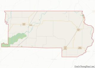
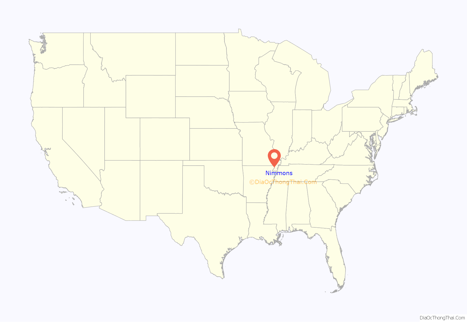
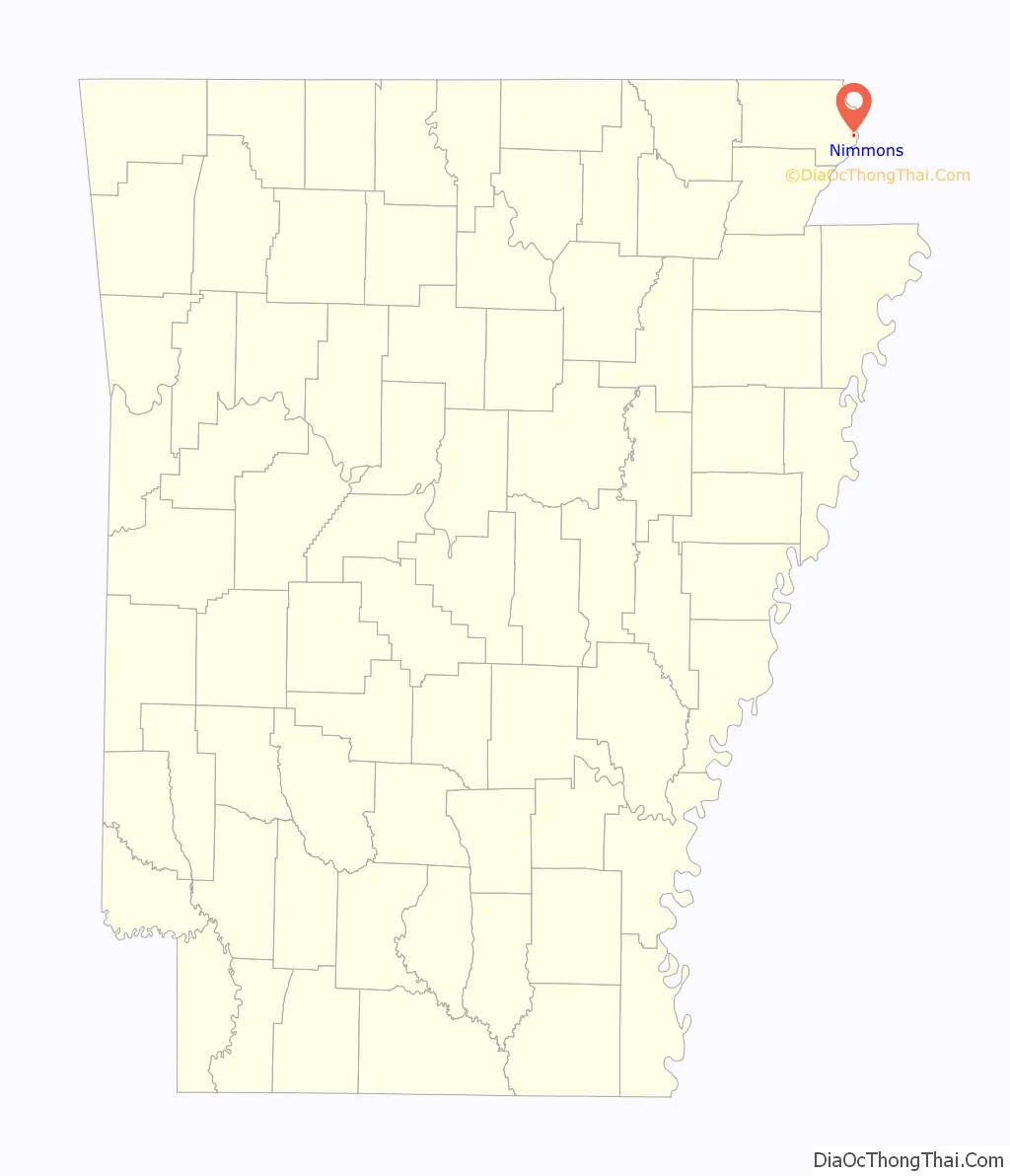
Nimmons location map. Where is Nimmons town?
History
Nimmons was established as a stop along the St. Louis, Kennett and Southeastern Railroad (later part of the St. Louis–San Francisco Railway) in 1901, and was named for a railroad worker. The town was granted its own post office (since closed) in 1903, and several businesses, fueled by the timber industry, operated in the town over the next two decades. The town began to decline after timber resources in the area were exhausted.
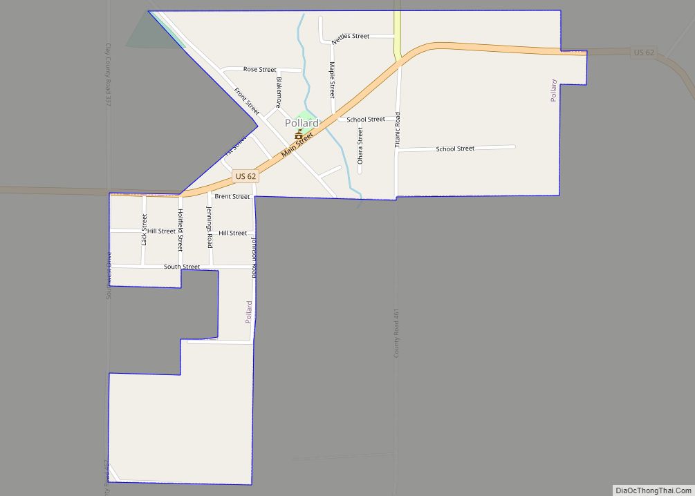
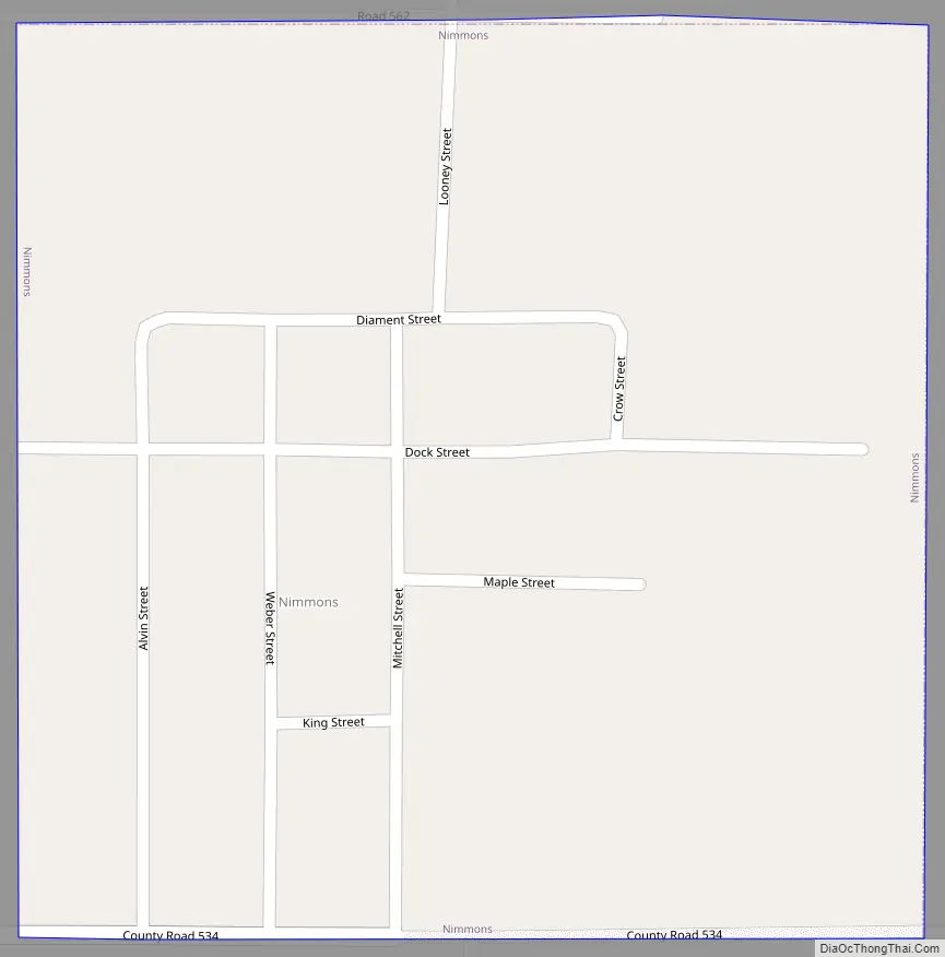
Nimmons Road Map
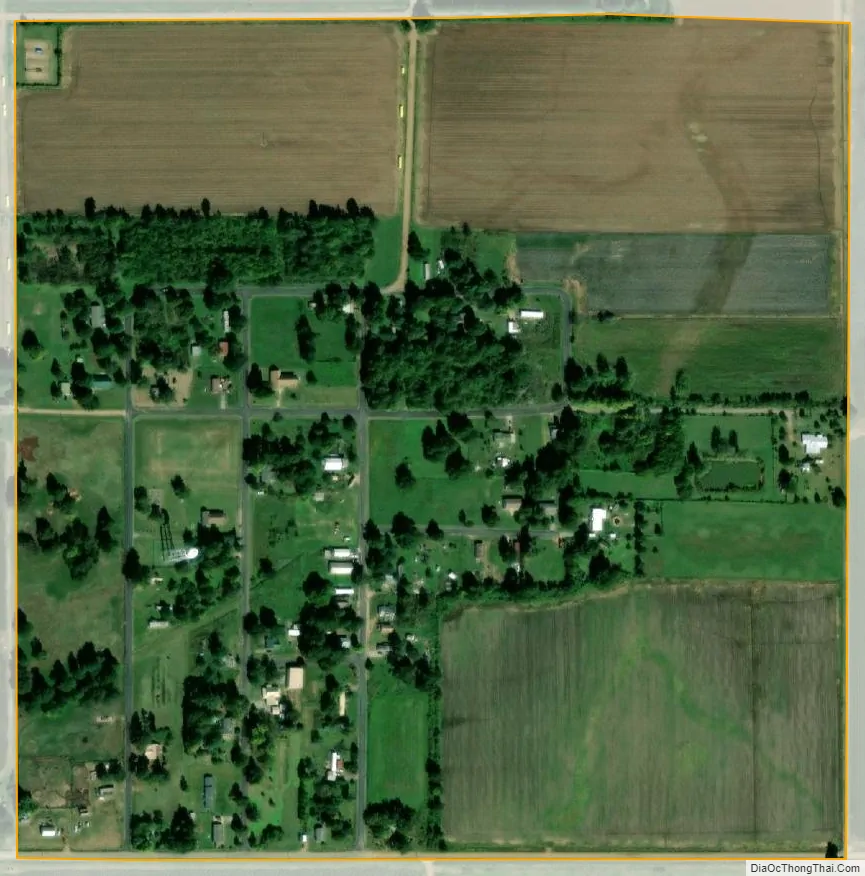
Nimmons city Satellite Map
Geography
Nimmons is located in eastern Clay County at 36°18′19″N 90°5′46″W / 36.30528°N 90.09611°W / 36.30528; -90.09611 (36.305413, -90.096163). It lies 1 mile (2 km) west of the St. Francis River, which forms the Arkansas–Missouri state line. Nimmons has a total area of 0.25 square miles (0.65 km), all land.
Ecologically, Nimmons is located within the St. Francis Lowlands ecoregion within the larger Mississippi Alluvial Plain. The St. Francis Lowlands are a flat region mostly covered with row crop agriculture today, though also containing sand blows and sunken lands remaining from the 1811–12 New Madrid earthquakes. Waterways have mostly been channelized, causing loss of aquatic and riparian wildlife habitat.
See also
Map of Arkansas State and its subdivision:- Arkansas
- Ashley
- Baxter
- Benton
- Boone
- Bradley
- Calhoun
- Carroll
- Chicot
- Clark
- Clay
- Cleburne
- Cleveland
- Columbia
- Conway
- Craighead
- Crawford
- Crittenden
- Cross
- Dallas
- Desha
- Drew
- Faulkner
- Franklin
- Fulton
- Garland
- Grant
- Greene
- Hempstead
- Hot Spring
- Howard
- Independence
- Izard
- Jackson
- Jefferson
- Johnson
- Lafayette
- Lawrence
- Lee
- Lincoln
- Little River
- Logan
- Lonoke
- Madison
- Marion
- Miller
- Mississippi
- Monroe
- Montgomery
- Nevada
- Newton
- Ouachita
- Perry
- Phillips
- Pike
- Poinsett
- Polk
- Pope
- Prairie
- Pulaski
- Randolph
- Saint Francis
- Saline
- Scott
- Searcy
- Sebastian
- Sevier
- Sharp
- Stone
- Union
- Van Buren
- Washington
- White
- Woodruff
- Yell
- Alabama
- Alaska
- Arizona
- Arkansas
- California
- Colorado
- Connecticut
- Delaware
- District of Columbia
- Florida
- Georgia
- Hawaii
- Idaho
- Illinois
- Indiana
- Iowa
- Kansas
- Kentucky
- Louisiana
- Maine
- Maryland
- Massachusetts
- Michigan
- Minnesota
- Mississippi
- Missouri
- Montana
- Nebraska
- Nevada
- New Hampshire
- New Jersey
- New Mexico
- New York
- North Carolina
- North Dakota
- Ohio
- Oklahoma
- Oregon
- Pennsylvania
- Rhode Island
- South Carolina
- South Dakota
- Tennessee
- Texas
- Utah
- Vermont
- Virginia
- Washington
- West Virginia
- Wisconsin
- Wyoming