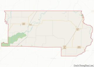
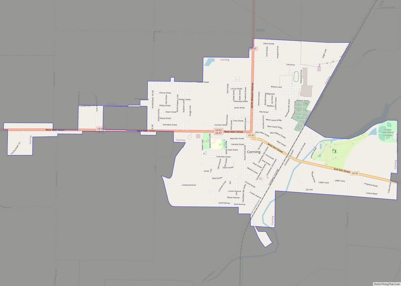
Piggott is a city in Clay County, Arkansas, United States. It is one of the two county seats of Clay County, along with Corning. It is the northern terminus of the Arkansas segment of the Crowley’s Ridge Parkway, a National Scenic Byway. As of the 2010 census, Piggott’s population was 3,849. The town was named after James A. Piggott, one of the early settlers and initiator of the local post office.
| Name: | Piggott city |
|---|---|
| LSAD Code: | 25 |
| LSAD Description: | city (suffix) |
| State: | Arkansas |
| County: | Clay County |
| Elevation: | 322 ft (98 m) |
| Total Area: | 5.42 sq mi (14.03 km²) |
| Land Area: | 5.36 sq mi (13.89 km²) |
| Water Area: | 0.05 sq mi (0.14 km²) |
| Total Population: | 3,622 |
| Population Density: | 675.37/sq mi (260.75/km²) |
| ZIP code: | 72454 |
| Area code: | 870 |
| FIPS code: | 0555130 |
| GNISfeature ID: | 2404517 |
| Website: | www.cityofpiggott.org |
Online Interactive Map
Click on ![]() to view map in "full screen" mode.
to view map in "full screen" mode.
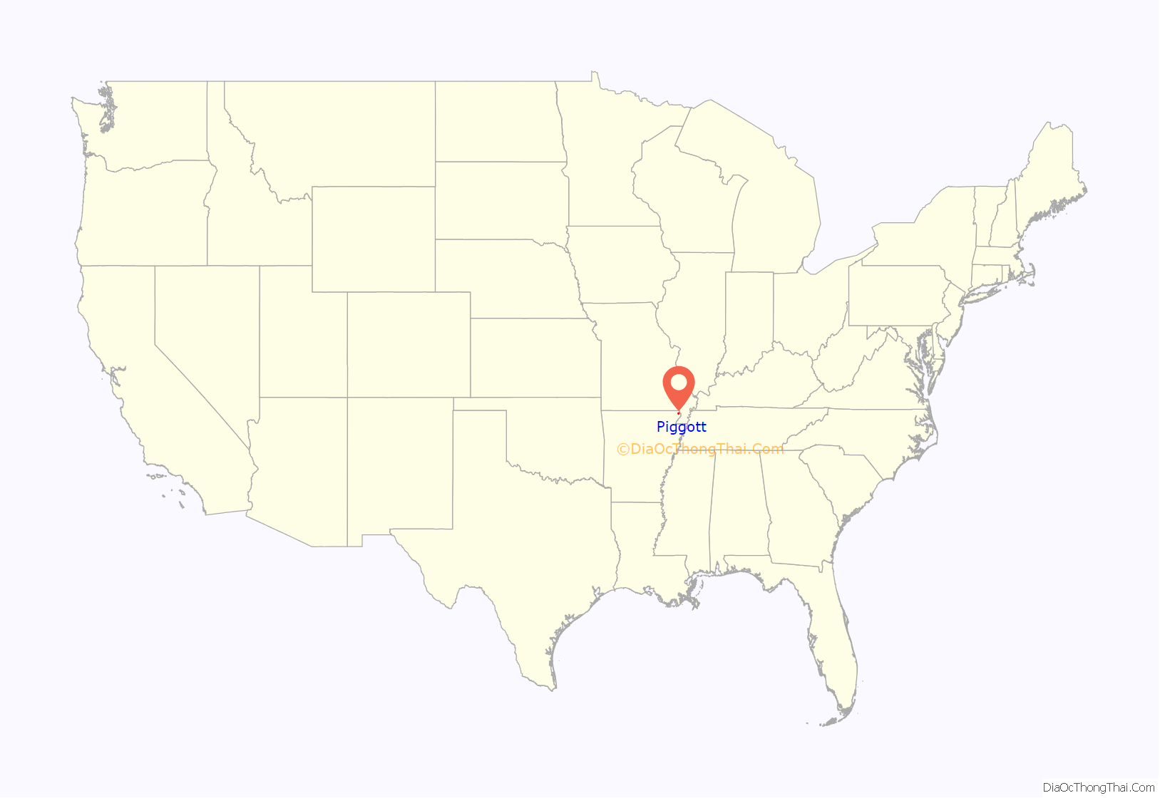
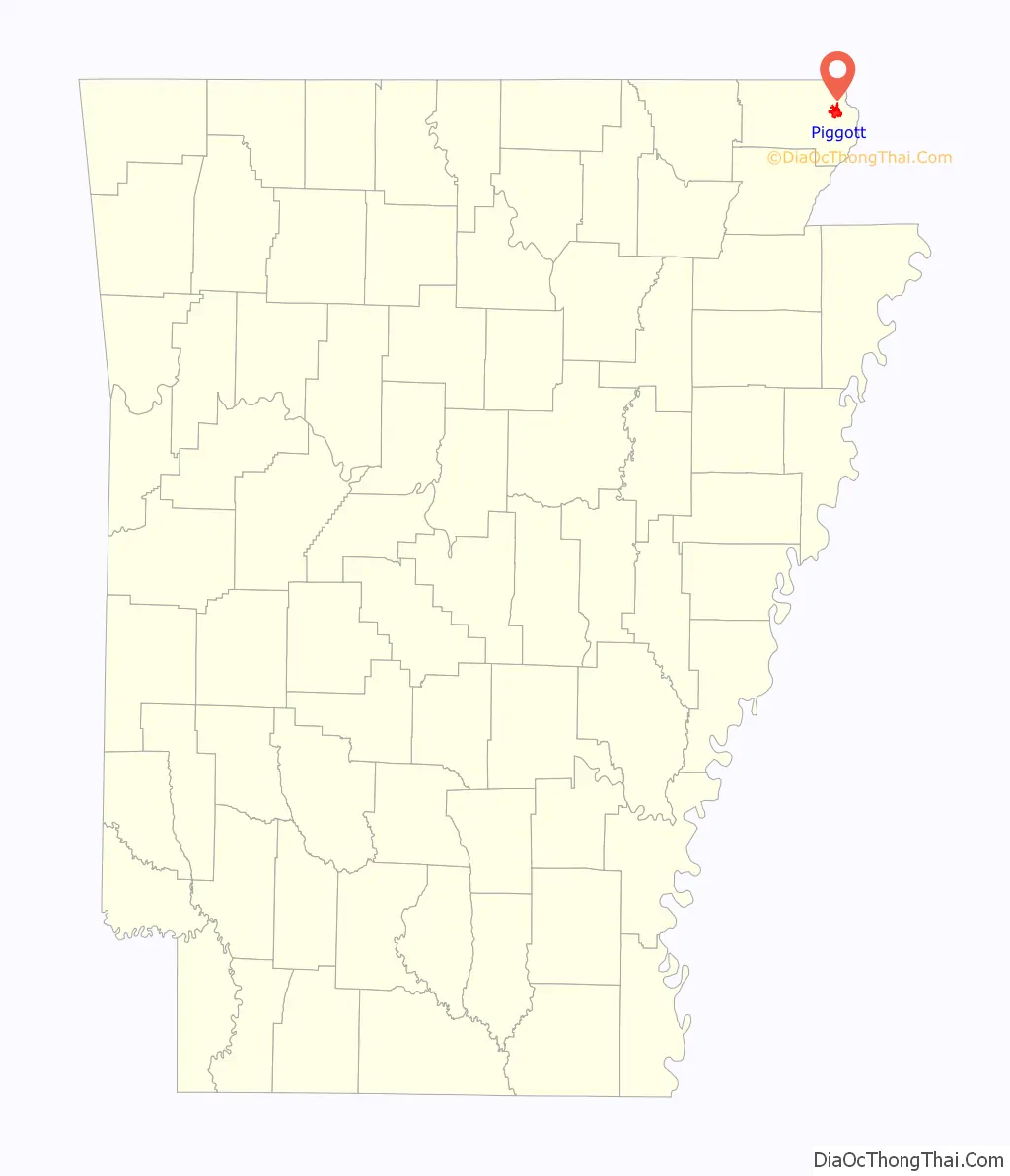
Piggott location map. Where is Piggott city?
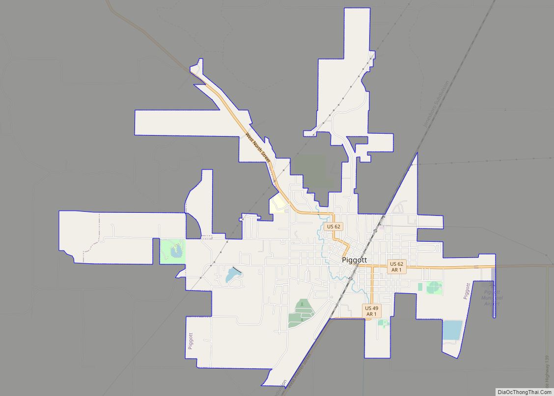
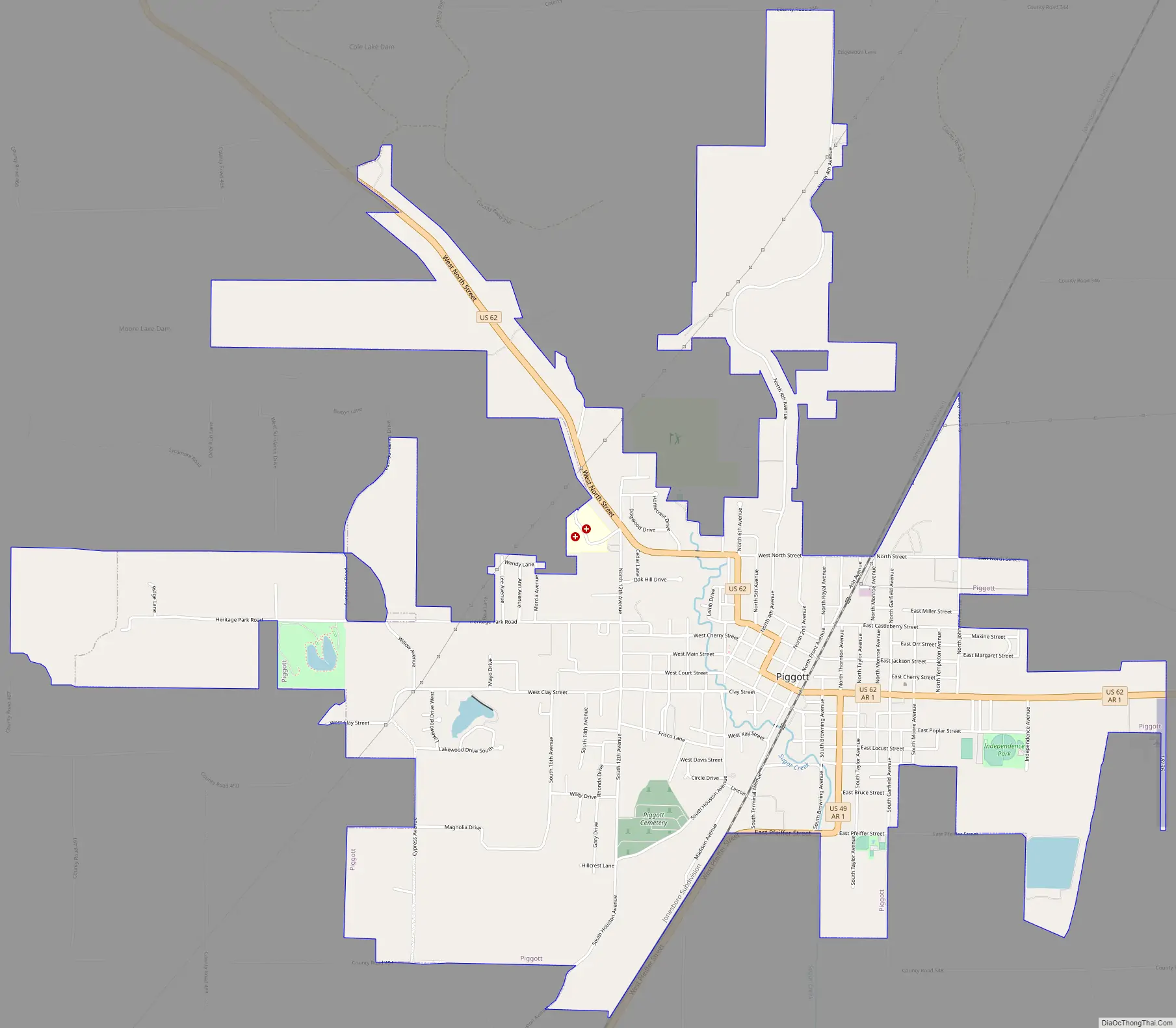
Piggott Road Map
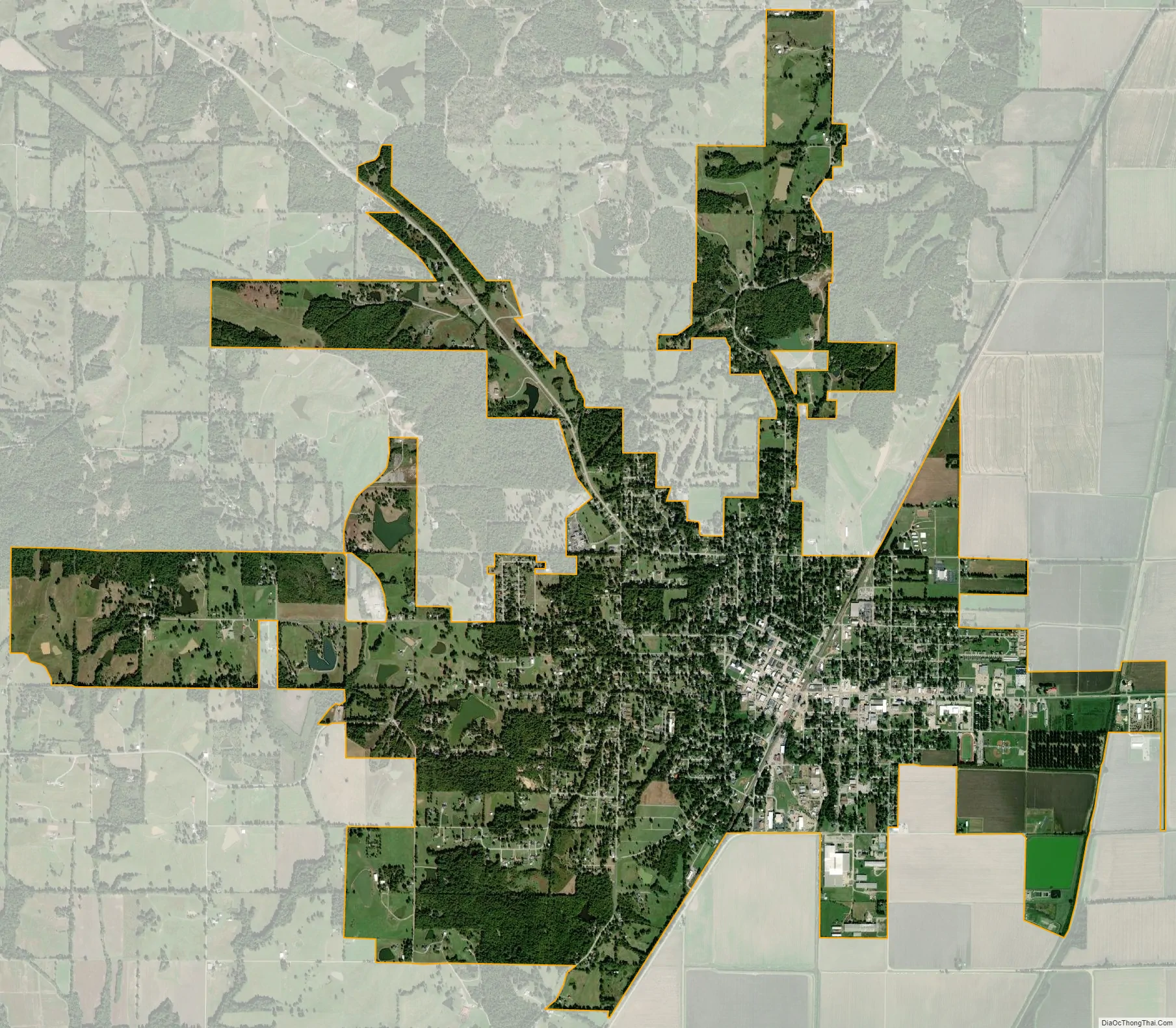
Piggott city Satellite Map
Geography
Piggott is located in eastern Clay County on the eastern edge of Crowley’s Ridge. U.S. Route 62 passes through the city, running west 25 miles (40 km) to Corning and northeast 45 miles (72 km) to Interstate 55 at New Madrid, Missouri. The northern terminus of U.S. Route 49 is in Piggott; the highway runs southwest 32 miles (51 km) to Paragould, and 516 miles (830 km) to Gulfport, Mississippi.
According to the United States Census Bureau, Piggott has a total area of 5.3 square miles (13.6 km), of which 5.2 square miles (13.5 km) is land and 0.04 square miles (0.1 km), or 1.01%, is water.
The topography of Piggott is mostly flat in the eastern half of the city with the more developed western half lying along Crowley’s Ridge, creating a sensation of coming down from a small mount to the flatland below. This ridge is a naturally occurring phenomenon created over millennia by wind-blown periglacial loess and possibly by seismic activity in the region.
See also
Map of Arkansas State and its subdivision:- Arkansas
- Ashley
- Baxter
- Benton
- Boone
- Bradley
- Calhoun
- Carroll
- Chicot
- Clark
- Clay
- Cleburne
- Cleveland
- Columbia
- Conway
- Craighead
- Crawford
- Crittenden
- Cross
- Dallas
- Desha
- Drew
- Faulkner
- Franklin
- Fulton
- Garland
- Grant
- Greene
- Hempstead
- Hot Spring
- Howard
- Independence
- Izard
- Jackson
- Jefferson
- Johnson
- Lafayette
- Lawrence
- Lee
- Lincoln
- Little River
- Logan
- Lonoke
- Madison
- Marion
- Miller
- Mississippi
- Monroe
- Montgomery
- Nevada
- Newton
- Ouachita
- Perry
- Phillips
- Pike
- Poinsett
- Polk
- Pope
- Prairie
- Pulaski
- Randolph
- Saint Francis
- Saline
- Scott
- Searcy
- Sebastian
- Sevier
- Sharp
- Stone
- Union
- Van Buren
- Washington
- White
- Woodruff
- Yell
- Alabama
- Alaska
- Arizona
- Arkansas
- California
- Colorado
- Connecticut
- Delaware
- District of Columbia
- Florida
- Georgia
- Hawaii
- Idaho
- Illinois
- Indiana
- Iowa
- Kansas
- Kentucky
- Louisiana
- Maine
- Maryland
- Massachusetts
- Michigan
- Minnesota
- Mississippi
- Missouri
- Montana
- Nebraska
- Nevada
- New Hampshire
- New Jersey
- New Mexico
- New York
- North Carolina
- North Dakota
- Ohio
- Oklahoma
- Oregon
- Pennsylvania
- Rhode Island
- South Carolina
- South Dakota
- Tennessee
- Texas
- Utah
- Vermont
- Virginia
- Washington
- West Virginia
- Wisconsin
- Wyoming